Filters: Tags: Ithaca (X) > partyWithName: U.S. Geological Survey (X)
16 results (65ms)|
Filters
Date Range
Extensions Types Contacts
Categories Tag Types Tag Schemes |
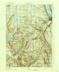
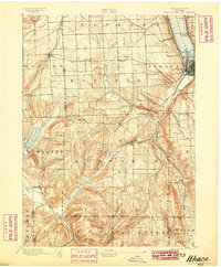
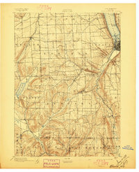
USGS Historical Quadrangle in GeoPDF.
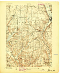
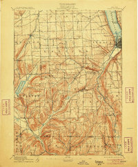
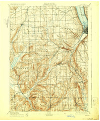
USGS Historical Quadrangle in GeoPDF.
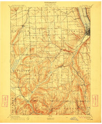
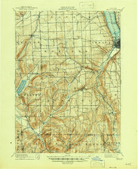
USGS Historical Quadrangle in GeoPDF.
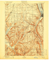
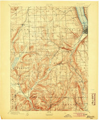
USGS Historical Quadrangle in GeoPDF.
USGS Historical Quadrangle in GeoPDF.
USGS Historical Quadrangle in GeoPDF.
USGS Historical Quadrangle in GeoPDF.
USGS Historical Quadrangle in GeoPDF.
USGS Historical Quadrangle in GeoPDF.

USGS Historical Quadrangle in GeoPDF.
USGS Historical Quadrangle in GeoPDF.
USGS Historical Quadrangle in GeoPDF.
USGS Historical Quadrangle in GeoPDF.
USGS Historical Quadrangle in GeoPDF.
USGS Historical Quadrangle in GeoPDF.
From July 14-20, 2016, the U.S. Geological Survey, in cooperation with the City of Ithaca, New York, conducted a bathymetric survey of the Cayuga Inlet flood-control channel and selected mouths of tributaries to Cayuga Inlet and Cayuga Lake in Ithaca, New York. U.S. Geological Survey personnel collected bathymetric data using an acoustic Doppler current profiler. The survey plan generated over 25,000 water depths that were converted to bottom elevations by subtracting the depths from the water-surface elevations recorded by the USGS streamgage, Cayuga Inlet (Cayuga Lake) at Ithaca, N.Y. (station number 04233500), which was located within the surveyed reach. (Information on and data from this streamgage can be found...
Categories: Data;
Types: ArcGIS REST Map Service,
ArcGIS Service Definition,
Downloadable,
Map Service;
Tags: Bathymetry,
Cascadilla Creek,
Cayuga Inlet,
Fall Creek,
Ithaca,
|

|
