Filters: Tags: Jayuya (X)
68 results (72ms)|
Filters
Date Range
Types Contacts
Tag Types Tag Schemes
|

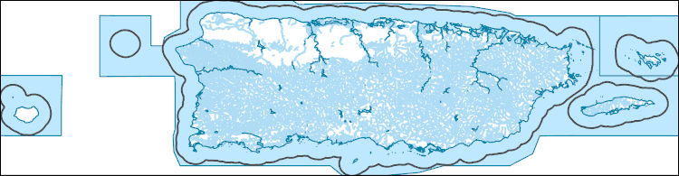
An orthoimage is remotely sensed image data in which displacement of features in the image caused by terrain relief and sensor orientation have been mathematically removed. Orthoimagery combines the image characteristics of a photograph with the geometric qualities of a map. There is no image overlap between adjacent files. Data received at Earth Resources Observation and Science Center (EROS) were reprojected from: Projection: NAD_1983_StatePlane_Puerto_Rico_Virgin_Islands_FIPS_5200 Resolution: 0.3000m Type: 4 Band to: Standard Product Projection: NAD_1983_UTM_Zone_19N Standard Product Resolution: 0.3000 m Rows: 5000 Columns: 5000 and resampled to align to the U.S. National Grid (USNG) using The National Map. The...
Types: Citation;
Tags: 0.3 meter orthoimage,
010,
1500 x 1500 meter,
4 Band orthophoto,
Downloadable Data,

This data represents the map extent for current and historical USGS topographic maps for the United States and Territories, including 1 X 2 Degree, 1 X 1 Degree, 30 X 60 Minute, 15 X 15 Minute, 7.5 X 7.5 Minute, and 3.75 X 3.75 Minute. The grid was generated using ESRI ArcInfo GIS software.

The National Hydrography Dataset (NHD) is a feature-based database that interconnects and uniquely identifies the stream segments or reaches that make up the nation's surface water drainage system. NHD data was originally developed at 1:100,000-scale and exists at that scale for the whole country. This high-resolution NHD, generally developed at 1:24,000/1:12,000 scale, adds detail to the original 1:100,000-scale NHD. (Data for Alaska, Puerto Rico and the Virgin Islands was developed at high-resolution, not 1:100,000 scale.) Local resolution NHD is being developed where partners and data exist. The NHD contains reach codes for networked features, flow direction, names, and centerline representations for areal water...
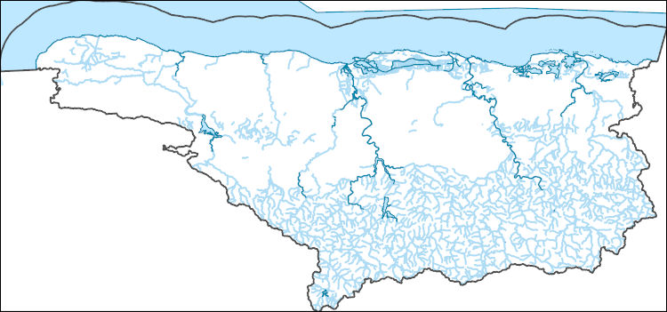
The National Hydrography Dataset (NHD) is a feature-based database that interconnects and uniquely identifies the stream segments or reaches that make up the nation's surface water drainage system. NHD data was originally developed at 1:100,000-scale and exists at that scale for the whole country. This high-resolution NHD, generally developed at 1:24,000/1:12,000 scale, adds detail to the original 1:100,000-scale NHD. (Data for Alaska, Puerto Rico and the Virgin Islands was developed at high-resolution, not 1:100,000 scale.) Local resolution NHD is being developed where partners and data exist. The NHD contains reach codes for networked features, flow direction, names, and centerline representations for areal water...
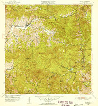
USGS Historical Quadrangle in GeoPDF.
The National Hydrography Dataset (NHD) is a feature-based database that interconnects and uniquely identifies the stream segments or reaches that make up the nation's surface water drainage system. NHD data was originally developed at 1:100,000-scale and exists at that scale for the whole country. This high-resolution NHD, generally developed at 1:24,000/1:12,000 scale, adds detail to the original 1:100,000-scale NHD. (Data for Alaska, Puerto Rico and the Virgin Islands was developed at high-resolution, not 1:100,000 scale.) Local resolution NHD is being developed where partners and data exist. The NHD contains reach codes for networked features, flow direction, names, and centerline representations for areal water...

An orthoimage is remotely sensed image data in which displacement of features in the image caused by terrain relief and sensor orientation have been mathematically removed. Orthoimagery combines the image characteristics of a photograph with the geometric qualities of a map. There is no image overlap between adjacent files. Data received at Earth Resources Observation and Science Center (EROS) were reprojected from: Projection: NAD_1983_StatePlane_Puerto_Rico_Virgin_Islands_FIPS_5200 Resolution: 0.3000m Type: 4 Band to: Standard Product Projection: NAD_1983_UTM_Zone_19N Standard Product Resolution: 0.3000 m Rows: 5000 Columns: 5000 and resampled to align to the U.S. National Grid (USNG) using The National Map. The...
Types: Citation;
Tags: 0.3 meter orthoimage,
010,
1500 x 1500 meter,
4 Band orthophoto,
Downloadable Data,

An orthoimage is remotely sensed image data in which displacement of features in the image caused by terrain relief and sensor orientation have been mathematically removed. Orthoimagery combines the image characteristics of a photograph with the geometric qualities of a map. There is no image overlap between adjacent files. Data received at Earth Resources Observation and Science Center (EROS) were reprojected from: Projection: NAD_1983_StatePlane_Puerto_Rico_Virgin_Islands_FIPS_5200 Resolution: 0.3048 m Type: Natural Color to: Standard Product Projection: NAD_1983_UTM_Zone_19N Standard Product Resolution: 0.3000 m Rows: 5,000 Columns: 5,000 and resampled to align to the U.S. National Grid (USNG). The naming convention...

An orthoimage is remotely sensed image data in which displacement of features in the image caused by terrain relief and sensor orientation have been mathematically removed. Orthoimagery combines the image characteristics of a photograph with the geometric qualities of a map. There is no image overlap between adjacent files. Data received at Earth Resources Observation and Science Center (EROS) were reprojected from: Projection: NAD_1983_StatePlane_Puerto_Rico_Virgin_Islands_FIPS_5200 Resolution: 0.3000m Type: 4 Band to: Standard Product Projection: NAD_1983_UTM_Zone_19N Standard Product Resolution: 0.3000 m Rows: 5000 Columns: 5000 and resampled to align to the U.S. National Grid (USNG) using The National Map. The...
Types: Citation;
Tags: 0.3 meter orthoimage,
010,
1500 x 1500 meter,
4 Band orthophoto,
Downloadable Data,
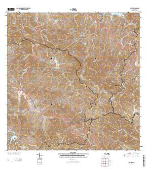
Layered GeoPDF Quadrangle Map. Layers of geospatial data include orthoimagery, roads, grids, geographic names, elevation contours, hydrography, and other selected map features.
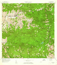
USGS Historical Quadrangle in GeoPDF.
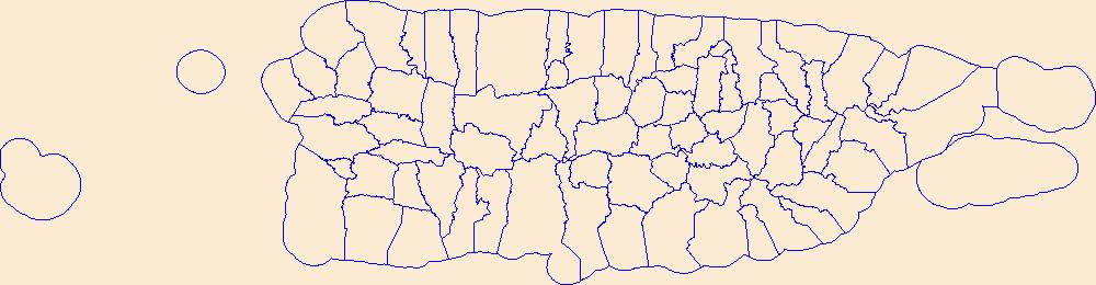
Geospatial data is comprised of government boundaries.

An orthoimage is remotely sensed image data in which displacement of features in the image caused by terrain relief and sensor orientation have been mathematically removed. Orthoimagery combines the image characteristics of a photograph with the geometric qualities of a map. There is no image overlap between adjacent files. Data received at Earth Resources Observation and Science Center (EROS) were reprojected from: Projection: NAD_1983_StatePlane_Puerto_Rico_Virgin_Islands_FIPS_5200 Resolution: 0.3048 m Type: Natural Color to: Standard Product Projection: NAD_1983_UTM_Zone_19N Standard Product Resolution: 0.3000 m Rows: 5,000 Columns: 5,000 and resampled to align to the U.S. National Grid (USNG). The naming convention...
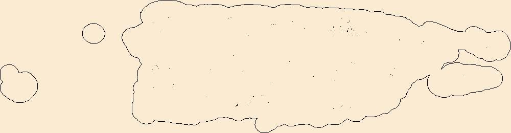
Layers of geospatial data include roads, airports, trails, and railroads.
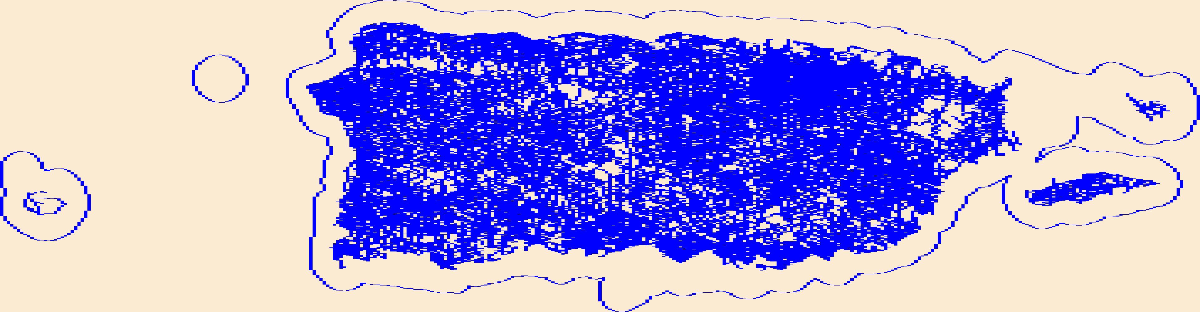
Geospatial data includes structures and other selected map features.

An orthoimage is remotely sensed image data in which displacement of features in the image caused by terrain relief and sensor orientation have been mathematically removed. Orthoimagery combines the image characteristics of a photograph with the geometric qualities of a map. There is no image overlap between adjacent files. Data received at Earth Resources Observation and Science Center (EROS) were reprojected from: Projection: NAD_1983_StatePlane_Puerto_Rico_Virgin_Islands_FIPS_5200 Resolution: 0.3048 m Type: Natural Color to: Standard Product Projection: NAD_1983_UTM_Zone_19N Standard Product Resolution: 0.3000 m Rows: 5,000 Columns: 5,000 and resampled to align to the U.S. National Grid (USNG). The naming convention...

An orthoimage is remotely sensed image data in which displacement of features in the image caused by terrain relief and sensor orientation have been mathematically removed. Orthoimagery combines the image characteristics of a photograph with the geometric qualities of a map. There is no image overlap between adjacent files. Data received at Earth Resources Observation and Science Center (EROS) were reprojected from: Projection: NAD_1983_StatePlane_Puerto_Rico_Virgin_Islands_FIPS_5200 Resolution: 0.3048 m Type: Natural Color to: Standard Product Projection: NAD_1983_UTM_Zone_19N Standard Product Resolution: 0.3000 m Rows: 5,000 Columns: 5,000 and resampled to align to the U.S. National Grid (USNG). The naming convention...

USGS Historical Quadrangle in GeoPDF.
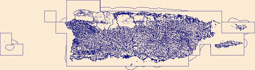
USGS National Hydrography Dataset Best Resolution (NHD) - Puerto Rico (published 20231227) Shapefile
The National Hydrography Dataset (NHD) is a feature-based database that interconnects and uniquely identifies the stream segments or reaches that make up the nation's surface water drainage system. NHD data was originally developed at 1:100,000-scale and exists at that scale for the whole country. This high-resolution NHD, generally developed at 1:24,000/1:12,000 scale, adds detail to the original 1:100,000-scale NHD. (Data for Alaska, Puerto Rico and the Virgin Islands was developed at high-resolution, not 1:100,000 scale.) Local resolution NHD is being developed where partners and data exist. The NHD contains reach codes for networked features, flow direction, names, and centerline representations for areal water...
|

|
