Filters: Tags: Joliet (X)
36 results (40ms)|
Filters
Date Range
Types Contacts
Categories Tag Types Tag Schemes |
Water velocities and discharge were measured in the lock chamber and immediately downstream of Brandon Road Lock on the Des Plaines River at river mile 286 on December 9-10, 2014 using Teledyne RDI Rio Grande 600 and 1200 kHz acoustic Doppler current profilers (ADCP). The data were georeferenced with a differential GPS receiver with submeter accuracy. These ADCP measurements were collected in support of the US Army Corps of Engineers Great Lakes and Mississippi River Interbasin Study (GLMRIS). Velocity measurements were processed using the Velocity Mapping Toolbox (Parsons and others, 2013) to derive temporally- and spatially-averaged water velocity values. Discharge measurements were processed with the QRev discharge...
Categories: Data;
Types: Citation;
Tags: Brandon Road Lock and Dam,
Des Plaines River,
Illinois,
Joliet,
Rockdale,
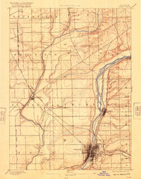
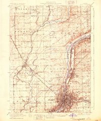
USGS Historical Quadrangle in GeoPDF.

USGS Historical Quadrangle in GeoPDF.
These data are high-resolution bathymetry (river bottom elevation) in XYZ format, generated from the February 14, 2017, topographic and hydrographic survey of the Des Plaines River in an area centered approximately 0.3 miles downstream of Brandon Road Lock and Dam at Joliet, Illinois. Hydrographic data were collected using a multibeam echo-sounder (MBES) with integrated inertial navigation solution (INS) mounted on a marine survey vessel. Data were collected as the vessel traversed the river along survey lines distributed throughout the area. Data collection software integrated and stored the depth data from the multibeam sonar and the horizontal and vertical position and attitude data of the vessel from the INS...
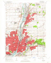
USGS Historical Quadrangle in GeoPDF.
USGS Historical Quadrangle in GeoPDF.
The data collection for the concrete-walled channel downstream from the Brandon Road Lock and Dam near Joliet, Illinois occurred in May 2014 Five pounds per square inch (lb/in2) was used as a threshold water pressure value for this study as this value incorporates fish behavior and structural integrity considerations. The Brandon Road study evaluated the performance of two different water gun configurations within the concrete-walled channel downstream from the lock with depths ranging from 12-15 feet. Data from a single 80 cubic inch (in³) water gun produced a roughly cylindrical 5 lb/in2 pressure field 20 feet in radius, oriented vertically, with the radius decreasing to less than 15 feet at the surface. A combination...
Categories: Data;
Types: Citation;
Tags: Asian Carp,
Brandon Road Lock and Dam,
Illinois,
Illinois River,
Invasive Species,
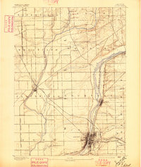
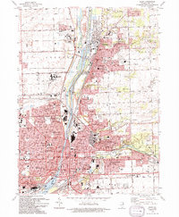
USGS Historical Quadrangle in GeoPDF.
This data set contains imagery from the National Agriculture Imagery Program (NAIP). The NAIP program is administered by USDA FSA and has been established to support two main FSA strategic goals centered on agricultural production. These are, increase stewardship of America's natural resources while enhancing the environment, and to ensure commodities are procured and distributed effectively and efficiently to increase food security. The NAIP program supports these goals by acquiring and providing ortho imagery that has been collected during the agricultural growing season in the U.S. The NAIP ortho imagery is tailored to meet FSA requirements and is a fundamental tool used to support FSA farm and conservation programs....
This data set contains imagery from the National Agriculture Imagery Program (NAIP). The NAIP program is administered by USDA FSA and has been established to support two main FSA strategic goals centered on agricultural production. These are, increase stewardship of America's natural resources while enhancing the environment, and to ensure commodities are procured and distributed effectively and efficiently to increase food security. The NAIP program supports these goals by acquiring and providing ortho imagery that has been collected during the agricultural growing season in the U.S. The NAIP ortho imagery is tailored to meet FSA requirements and is a fundamental tool used to support FSA farm and conservation programs....

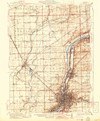
USGS Historical Quadrangle in GeoPDF.
The bathymetric data set was collected in Rock Run on Dec. 10, 2015 by USGS ILWSC staff Clayton Bosch and Louis Pappas. The bathymetric data were collected with an RD Instruments 1200 kHz ADCP (S/N 8617) and Trimble Ag 162 GPS mounted on the M/V La Moine. A temporary reference point (TRP) was established on the north side of the footbridge over the connecting channel to the Des Plaines River. The mean water surface elevation (504.97 feet, WGS 84) during the survey was established from a temporary reference point whose elevation was later established by GPS survey. The measured depths were then converted to a lake bed elevation. The location and depth data were compiled into a bathymetry dataset (Rock Run Bathymetry...
These data are high-resolution bathymetry (river bottom elevation) in XYZ format, generated from the February 13, 2017, topographic and hydrographic survey of the Des Plaines River in an area centered approximately 2.2 miles downstream of Brandon Road Lock and Dam at Joliet, Illinois. Hydrographic data were collected using a multibeam echo-sounder (MBES) with integrated inertial navigation solution (INS) mounted on a marine survey vessel. Data were collected as the vessel traversed the river along survey lines distributed throughout the area. Data collection software integrated and stored the depth data from the multibeam sonar and the horizontal and vertical position and attitude data of the vessel from the INS...
Types: Citation;
Tags: Brandon Rd Lock and Dam,
Des Plaines River,
Illinois,
Joliet,
United States of America,
This data set contains imagery from the National Agriculture Imagery Program (NAIP). The NAIP program is administered by USDA FSA and has been established to support two main FSA strategic goals centered on agricultural production. These are, increase stewardship of America's natural resources while enhancing the environment, and to ensure commodities are procured and distributed effectively and efficiently to increase food security. The NAIP program supports these goals by acquiring and providing ortho imagery that has been collected during the agricultural growing season in the U.S. The NAIP ortho imagery is tailored to meet FSA requirements and is a fundamental tool used to support FSA farm and conservation programs....
During the 2018–20 water years, the U.S. Geological Survey, in cooperation with the Metropolitan Water Reclamation District of Greater Chicago, operated a continuous monitoring station on the Des Plaines River at Route 53 at Joliet, Illinois (USGS station 05537980), to better quantify nutrient and sediment loadings from the Greater Chicago Area to the Illinois River. This data release presents estimates of daily nitrate, suspended sediment, and phosphorus concentrations and uncertainty from that period. The concentration estimates are based on a combination of discrete sampling, continuously monitored surrogates, and surrogate regression (Bayesian imputation). The data release comprises a single csv file containing...
Categories: Data;
Types: Map Service,
OGC WFS Layer,
OGC WMS Layer,
OGC WMS Service;
Tags: Des Plaines River,
Illinois,
Joliet,
USGS Science Data Catalog (SDC),
Water Quality,
USGS Historical Quadrangle in GeoPDF.
USGS Historical Quadrangle in GeoPDF.
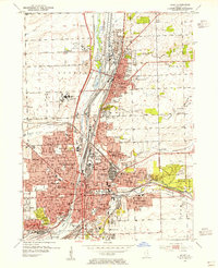
USGS Historical Quadrangle in GeoPDF.
These data are high-resolution bathymetry (river bottom elevation) in XYZ format and measurements of sediment depth in CSV format, generated from the February 13–14, 2017, topographic and hydrographic survey of the Des Plaines River near Brandon Road Lock and Dam at Joliet, Illinois. Hydrographic data were collected in three separate areas (approach channel, mooring area, and upstream pool) using a multibeam echo-sounder (MBES) with integrated inertial navigation solution (INS) mounted on a marine survey vessel. Sediment depth data were collected in the approach channel using navigational software and probing equipment mounted on a marine survey vessel.
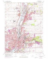
USGS Historical Quadrangle in GeoPDF.
|

|
