Filters: Tags: Kaguyak (X)
13 results (79ms)|
Filters
Date Range
Types Contacts
Tag Types Tag Schemes |
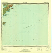
USGS Historical Quadrangle in GeoPDF.

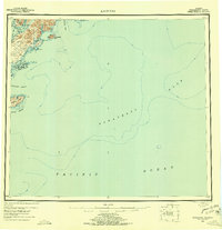
USGS Historical Quadrangle in GeoPDF.
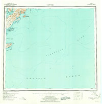
USGS Historical Quadrangle in GeoPDF.
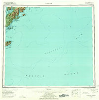
USGS Historical Quadrangle in GeoPDF.
This publication contains previously unpublished geochemical analyses or re-analyses of lavas, magmatic inclusions, and a few gabbroic cumulate inclusions from Alaska volcanoes (Akutan, Augustine, Buzzard Creek, Dana, Douglas, Fourpeaked, Frosty, Great Sitkin, Iliamna, Kaguyak, Kiska, Okmok, Prindle Cone, Recheshnoi, Redoubt, Spurr, Ukinrek Maars, Vsevidof, Westdahl, Wrangell) collected by the authors and others over the past 35 years. It provides substantial data sets for three volcanoes (Vsevidof, Westdahl, and Douglas) for which little or no published data exist. All analyses were made by the GeoAnalytical laboratory at Washington State University in Pullman, WA. The ICP/MS data have been reduced using the 2006...
USGS Historical Quadrangle in GeoPDF.
This zip folder contains ASCII text files of vectors at the specified volcano at 12-hour intervals, from January 1, 1990 through December 28, 2009. The wind vectors are divided into five files, names by their elevation range above sea level in the atmosphere: 00-05km.txt; 05-11km.txt; 11-16km.txt; 16-24km.txt; and 24-30km.txt. The zip folder also contains a subfolder "figures", with Wind rose plots of wind direction and speed over this time period. The plots are by season, and by elevation, given a total of 20 plots (4 seasons, 5 elevation ranges). A summary plot is also included which gives the year-round wind pattern at the volcano, at 0-5 km elevation. Plots are in both jpg and pdf format.
This dataset comprises the locations of volcanoes and volcanic centers in Alaska.
The State of Alaska Division of Geological & Geophysical Surveys (DGGS) and Division of Oil & Gas (DOG) are currently engaged in a multi-year study of the hydrocarbon potential of the Tertiary and Mesozoic strata in Cook Inlet basin. Modal analyses and routine core analyses were performed on Tertiary and Mesozoic siltstones and sandstones collected during the 2007-2010 field seasons from six geographic areas in upper and lower Cook Inlet. The reservoir quality of Cook Inlet sandstones varies widely depending on their mineralogy, geologic age, burial depth, and depositional environment. Tuxedni and Naknek sandstones have poor reservoir quality and are likely to be of equally poor quality down dip. West Foreland sandstones...
This publication provides digital point data for the locations of 127 volcanic centers in Alaska younger than 2 million years. Information about whether a volcano has been historically active is also provided. Detailed information about each center can be found on the Alaska Volcano Observatory website at http://www.avo.alaska.edu
USGS Historical Quadrangle in GeoPDF.

USGS Historical Quadrangle in GeoPDF.
USGS Historical Quadrangle in GeoPDF.
|

|
