Filters: Tags: Kauai (X)
114 results (11ms)|
Filters
Contacts
(Less)
|
This shapefile is the official boundary of the Hawaii Fish Habitat Partnership. The shapefile was developed in 2013 to reflect the boundary as defined by the Hawaii Fish Habitat Partnership, a recognized Fish Habitat Partnership (FHP) of the National Fish Habitat Partnership.
Categories: Data;
Types: ArcGIS REST Map Service,
ArcGIS Service Definition,
Downloadable,
Map Service;
Tags: Analytical boundary,
Aquatic habitats,
Boundaries,
FHP Boundary,
FHP Product,
The U.S. Geological Survey (USGS), in cooperation with the State of Hawaiʻi Department of Transportation, estimated flood magnitudes for the 50-, 20-, 10-, 4-, 2-, 1-, 0.5-, and 0.2-percent annual exceedance probabilities (AEP) for unregulated streamgages in Kauaʻi, Oʻahu, Molokaʻi, Maui, and Hawaiʻi, State of Hawaiʻi, using data through water year 2020. Regression equations which can be used to estimate flood magnitude and associated frequency at ungaged streams were developed. The methods and results of the study are published in a separate report (https://doi.org/10.3133/sir20235014). This data release contains (1) a folder with the PeakFQ output files for each streamgage, ".PRT" and ".EXP" files, for use in...
Types: Map Service,
OGC WFS Layer,
OGC WMS Layer,
OGC WMS Service;
Tags: Hawaii,
Hawaii Island,
Kauai,
Maui,
Molokai,
Hawai‘i’s endangered waterbirds have experienced epizootics caused by ingestion of prey that accumulated a botulinum neurotoxin produced by the anaerobic bacterium Clostridium botulinum (avian botulism; Type C). Waterbird carcasses, necrophagous flies, and their larvae initiate and spread avian botulism, a food-borne paralytic disease lethal to waterbirds. Each new carcass has potential to develop toxin-accumulating necrophagous vectors amplifying outbreaks and killing hundreds of endangered birds. Early carcass removal is an effective mitigation strategy for preventing avian intoxication, toxin concentration in necrophagous and secondary food webs, and reducing the magnitude of epizootics. However, rapid detection...

The National Hydrography Dataset (NHD) is a feature-based database that interconnects and uniquely identifies the stream segments or reaches that make up the nation's surface water drainage system. NHD data was originally developed at 1:100,000-scale and exists at that scale for the whole country. This high-resolution NHD, generally developed at 1:24,000/1:12,000 scale, adds detail to the original 1:100,000-scale NHD. (Data for Alaska, Puerto Rico and the Virgin Islands was developed at high-resolution, not 1:100,000 scale.) Local resolution NHD is being developed where partners and data exist. The NHD contains reach codes for networked features, flow direction, names, and centerline representations for areal water...

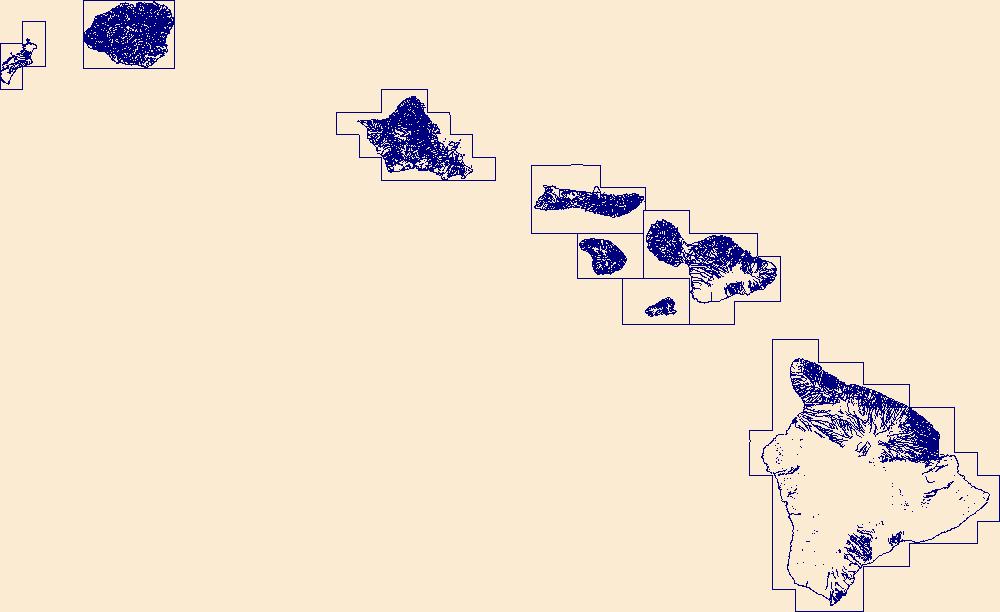
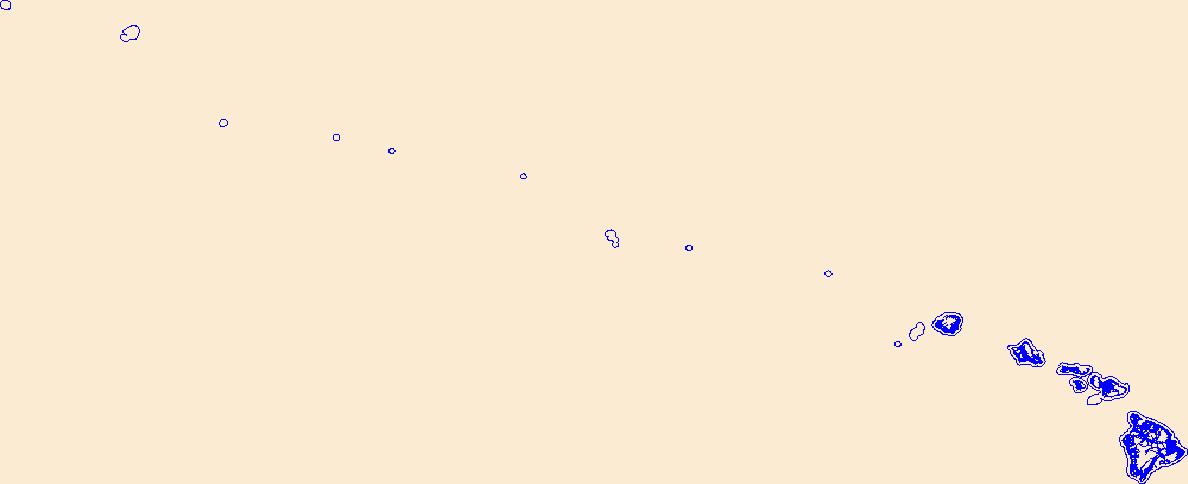
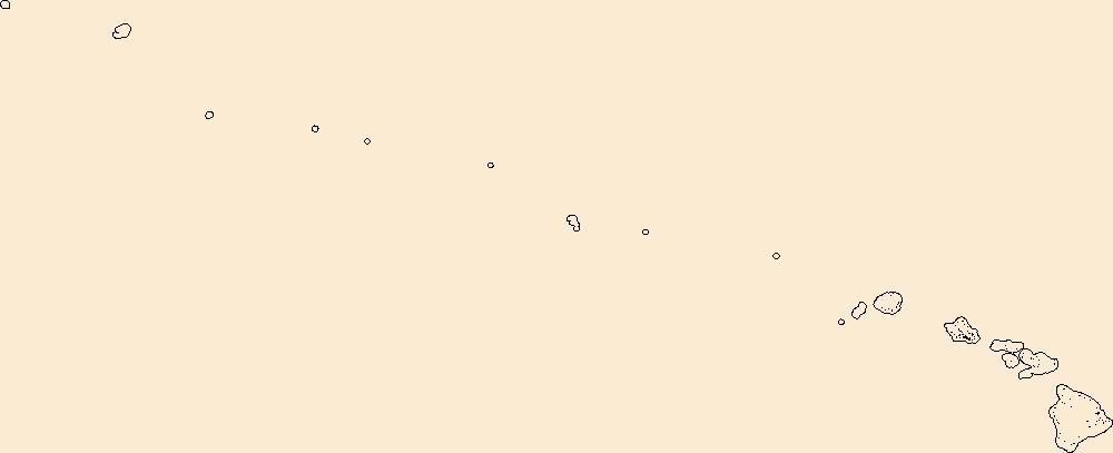
This data represents the map extent for current and historical USGS topographic maps for the United States and Territories, including 1 X 2 Degree, 1 X 1 Degree, 30 X 60 Minute, 15 X 15 Minute, 7.5 X 7.5 Minute, and 3.75 X 3.75 Minute. The grid was generated using ESRI ArcInfo GIS software.
Time-series data of water-surface elevation, wave height, water-column currents, temperature were acquired for 6 days off the north coast of the island of Kauai, Hawaii in support of a study on the coastal circulation patterns and groundwater input to the coral reefs of Makua.
The National Hydrography Dataset (NHD) is a feature-based database that interconnects and uniquely identifies the stream segments or reaches that make up the nation's surface water drainage system. NHD data was originally developed at 1:100,000-scale and exists at that scale for the whole country. This high-resolution NHD, generally developed at 1:24,000/1:12,000 scale, adds detail to the original 1:100,000-scale NHD. (Data for Alaska, Puerto Rico and the Virgin Islands was developed at high-resolution, not 1:100,000 scale.) Local resolution NHD is being developed where partners and data exist. The NHD contains reach codes for networked features, flow direction, names, and centerline representations for areal water...
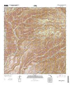
Layered GeoPDF 7.5 Minute Quadrangle Map. Layers of geospatial data include orthoimagery, roads, grids, geographic names, elevation contours, hydrography, and other selected map features.
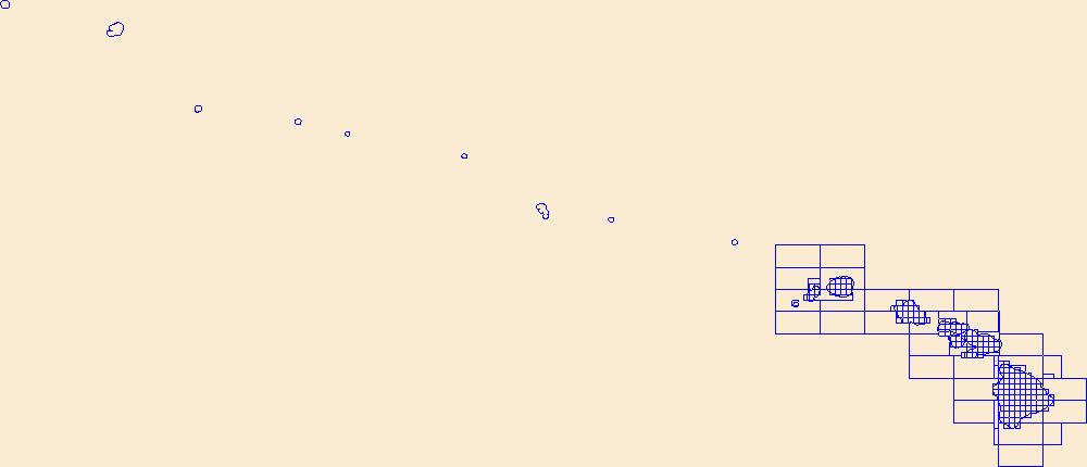
This data represents the map extent for current and historical USGS topographic maps for the United States and Territories, including 1 X 2 Degree, 1 X 1 Degree, 30 X 60 Minute, 15 X 15 Minute, 7.5 X 7.5 Minute, and 3.75 X 3.75 Minute. The grid was generated using ESRI ArcInfo GIS software.

Geospatial data includes structures and other selected map features.
Layers of geospatial data include roads, airports, trails, and railroads.
Introduction Potential offsite impacts to public and ecosystem health from exposure to current-use pesticides and other organic contaminants are a growing concern in Hawaiʻi. In response to these concerns, the U.S. Geological Survey (USGS), in cooperation with the State of Hawaiʻi Department of Agriculture (HDOA), initiated a comprehensive pesticide-monitoring program of surface water in Hawaiʻi in 2016. The State of Hawaiʻi Department of Health (HDOH) is collaborating by providing technical and scientific assistance. The objectives of the Hawaiʻi pesticide-monitoring program include (1) documenting the occurrence and distribution of current-use pesticides in surface water of geographically distinct agricultural...
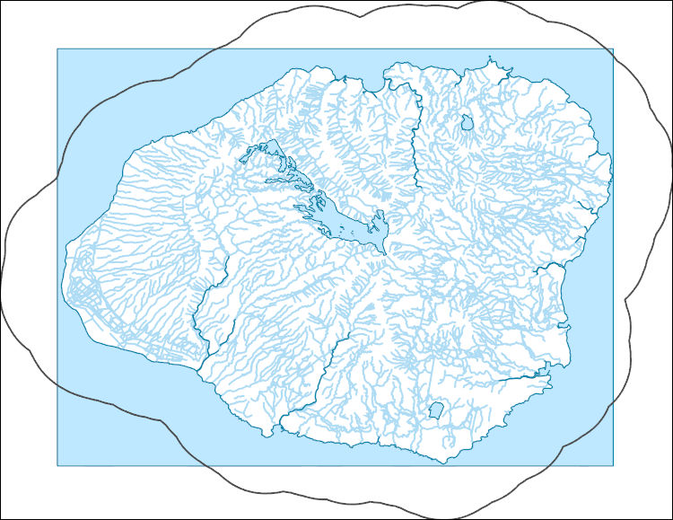
The National Hydrography Dataset (NHD) is a feature-based database that interconnects and uniquely identifies the stream segments or reaches that make up the nation's surface water drainage system. NHD data was originally developed at 1:100,000-scale and exists at that scale for the whole country. This high-resolution NHD, generally developed at 1:24,000/1:12,000 scale, adds detail to the original 1:100,000-scale NHD. (Data for Alaska, Puerto Rico and the Virgin Islands was developed at high-resolution, not 1:100,000 scale.) Local resolution NHD is being developed where partners and data exist. The NHD contains reach codes for networked features, flow direction, names, and centerline representations for areal water...
Genetic diversity levels, effective population size estimates, and population structure of the endangered Hawaiian hoary bat (Lasiurus semotus, also known as Aeorestes semotus) were examined across the islands of Hawai‘i, Maui, O‘ahu, and Kaua‘i using eighteen nuclear microsatellite loci and one mitochondrial gene from 339 individuals collected between 1988 and 2020. The study extracted DNA for population genetic analyses from tissue samples, collected from live bats captured as part of ongoing field studies or under rehabilitation care, from bat carcasses collected by local federal and state wildlife agencies and wind energy facilities, and from dried skin specimens at the Bernice Pauahi Bishop Museum. Eighteen...
This dataset provides information on the current status and various other habitat and descriptive attributes of the native coastal vegetation for seven of the main Hawaiian Islands (i.e., does not include Ni`ihau).
Categories: Data;
Types: ArcGIS REST Map Service,
ArcGIS Service Definition,
Citation,
Downloadable,
Map Service;
Tags: Ecology,
Hawaii,
Kahoolawe,
Kauai,
Lanai,
This data relase is a product of Atlas of Breeding Seabirds of the Main Hawaiian Islands Kīlauea Point National Wildlife Refuge (KPNWR) is an important seabird breeding site located at the northeastern tip of Kauaʻi in the main Hawaiian Islands (MHI). Despite the regional significance of KPNWR as one of the most important breeding sites for Red-tailed Tropicbirds (Phaethon rubricauda), Red-footed Boobies (Sula sula), and Wedge-tailed Shearwaters (Ardenna pacifica) in MHI, robust and accurate population surveys have not been consistently conducted and recent information is lacking. In this study, we completed comprehensive population surveys for these three species during the 2019 breeding season. Using direct censusing...
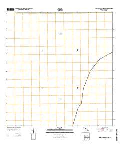
Layered GeoPDF 7.5 Minute Quadrangle Map. Layers of geospatial data include orthoimagery, roads, grids, geographic names, elevation contours, hydrography, and other selected map features.
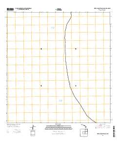
Layered GeoPDF 7.5 Minute Quadrangle Map. Layers of geospatial data include orthoimagery, roads, grids, geographic names, elevation contours, hydrography, and other selected map features.
Acoustic sampling for occurrence of the endangered Hawaiian hoary bat (Lasiurus cinereus semotus) was conducted at 18 "long-term" acoustic monitoring stations on 12 Hawaii Army National Guard (HIARNG) installations across the islands of Hawaii, Maui, Molokai, Oahu, and Kauai between 2012 and 2018. Hawaiian hoary bat insect prey sampling with paired acoustic monitoring was conducted at Keaukaha Military Reservation (KMR) on Hawaii Island from May to August, 2018. At this property, a herd of domestic goats (occasionally mixed with domestic sheep) were rotated among grazing plots as part of a weed control program managed by HIARNG. We sampled insect abundance and community within the area where goats were used for...
Geospatial data includes structures and other selected map features.
|

|
