Filters: Tags: Kenai (X)
18 results (32ms)|
Filters
Date Range
Contacts
Tag Types Tag Schemes |

This dataset displays the boundaries of Intact Forest Landscapes for the Kenai region of the state of Alaska. Intact Forest Landscapes are defined as areas at least 50,000 hectares that are absent of human disturbance visible on satellite imagery (e.g., roads, logging, mining, settlement). For more information, see the full report, available on the Global Forest Watch website (www.globalforestwatch.org), or the Conservation Biology Institute website (http://www.consbio.org/cbi/projects/show.php?page=alaska);.
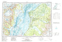
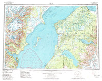
USGS Historical Quadrangle in GeoPDF.

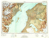
USGS Historical Quadrangle in GeoPDF.

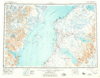
USGS Historical Quadrangle in GeoPDF.

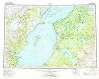
USGS Historical Quadrangle in GeoPDF.
USGS Historical Quadrangle in GeoPDF.
USGS Historical Quadrangle in GeoPDF.
USGS Historical Quadrangle in GeoPDF.
This map shows the subcrop pattern of the Mesozoic rock units present at the top Mesozoic unconformity (also commonly referred to as the base Tertiary unconformity) in Cook Inlet basin, Alaska. The subcrop is projected onto the top Mesozoic unconformity depth surface of Cook Inlet basin, Alaska, published by Shellenbaum and others (2010). Publicly available geologic and geophysical data from multiple sources were collected, interpreted, and integrated into the subcrop map. Formation picks at the top Mesozoic unconformity were determined for 109 wells. Mesozoic horizons from two regional marine two-dimensional (2-D) seismic datasets (approximately 3,300 miles) were interpreted. Eight map units were established for...

This dataset represents wetlands and lowlands on the Kenai Peninsula, Alaska. A plant community and locally tailored mapping classification has been created to map and describe functions of the wetlands on the Kenai Lowlands west of the Kenai National Wildlife Refuge, Alaska (the project area- Now Expanded to Include Seward). The classification has been used to map wetlands in the project area. The map is being served via by the Kenai Peninsula Borough's GIS department, so that all that is required of an potential user is access to the World Wide Web and a current web browser. The wetland polygons are served along with many layers including high resolution satellite imagery and parcel lines. The wetland polygons...
USGS Historical Quadrangle in GeoPDF.
USGS Historical Quadrangle in GeoPDF.
USGS Historical Quadrangle in GeoPDF.

This dataset represents water bodies within the Kenai Peninsula Borough, Alaska.
The Iniskin-Tuxedni Bay area contains excellent exposures of nearly all of the lower Cook Inlet Mesozoic succession, including most of the stratigraphic sections that define the interval and the petroleum source rocks that comprise the basin. An underdeveloped understanding of the Mesozoic petroleum system has led the Alaska Department of Natural Resources' Division of Geological & Geophysical Surveys and Division of Oil and Gas, and the U.S. Geological Survey to collaborate on a multi-year project that includes two major mapping campaigns. Geologic mapping between Chinitna Bay and the Johnson River during the 2015 field season encompassed volcanic arc rocks northwest of the Bruin Bay fault system, and Mesozoic...

This dataset displays the boundaries of Intact Forest Landscapes for the islands in the coastal Kenai region of the state of Alaska. Intact Forest Landscapes for islands are defined as areas at least 500 hectares that are absent of human disturbance visible on satellite imagery (e.g., roads, logging, mining, settlement). For more information, see the full report, available on the Global Forest Watch website (www.globalforestwatch.org), or the Conservation Biology Institute website (http://www.consbio.org/cbi/projects/show.php?page=alaska).
USGS Historical Quadrangle in GeoPDF.
USGS Historical Quadrangle in GeoPDF.
|

|
