Filters: Tags: LAKEWOOD (X) > partyWithName: U.S. Geological Survey (X)
26 results (98ms)|
Filters
Date Range
Types Contacts
Categories Tag Types Tag Schemes |
This dataset is related to a 2017 journal article by A. J. Pietruszka and L. A. Neymark titled "Evaluation of laser ablation double-focusing SC-ICPMS for “common” lead isotopic measurements in silicate glasses and minerals" that is published in the Journal of Analytical Atomic Spectrometry (doi:10.1039/c7ja00005g).
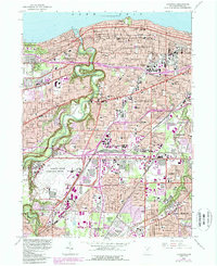
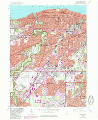
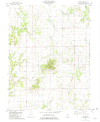
USGS Historical Quadrangle in GeoPDF.
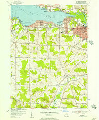
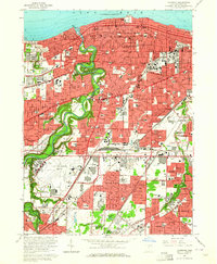
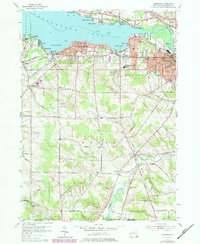
USGS Historical Quadrangle in GeoPDF.
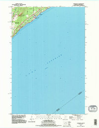
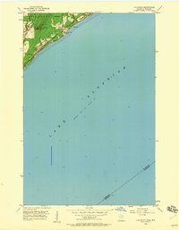
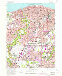
USGS Historical Quadrangle in GeoPDF.

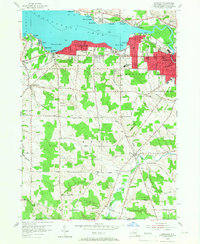
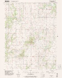
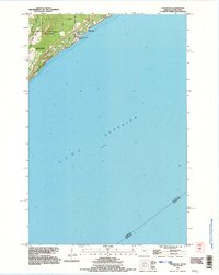
USGS Historical Quadrangle in GeoPDF.
USGS Historical Quadrangle in GeoPDF.
USGS Historical Quadrangle in GeoPDF.
USGS Historical Quadrangle in GeoPDF.

The U.S. Geological Survey (USGS), in cooperation with the Water Replenishment District of Southern California, developed a regional groundwater model of the Los Angeles Coastal Plain (LACP) incorporating new data, analyses, and modeling tools to better understand the hydrogeology of the groundwater basins. The LACP covers about 580 square miles and is the largest coastal plain of semiarid southern California. This aquifer is heavily developed with mostly residential, commercial, and industrial use and relies heavily on groundwater for its water supply. There has been a heavy reliance on groundwater from the LACP for many years. The need to replenish the groundwater basins within the LACP was recognized as far back...
USGS Historical Quadrangle in GeoPDF.

USGS Historical Quadrangle in GeoPDF.
USGS Historical Quadrangle in GeoPDF.
USGS Historical Quadrangle in GeoPDF.
USGS Historical Quadrangle in GeoPDF.
USGS Historical Quadrangle in GeoPDF.
USGS Historical Quadrangle in GeoPDF.
USGS Historical Quadrangle in GeoPDF.
USGS Historical Quadrangle in GeoPDF.
USGS Historical Quadrangle in GeoPDF.
USGS Historical Quadrangle in GeoPDF.
|

|
