Filters: Tags: LAND COVER (X)
815 results (120ms)|
Filters
Date Range
Extensions Types
Contacts
Categories Tag Types
|
Potential Evapotranspiration (PET): These data represent decadal mean totals of potential evapotranspiration estimates (mm). The file name specifies the decade the raster represents. For example, a file named pet_mean_mm_decadal_MPI_ECHAM5_A1B_annual_2000-2009.tif represents the decade spanning 2000-2009. The data were generated by using the Hamon equation and output from ECHAM5, a fifth generation general circulation model created by the Max Planck Institute for Meteorology in Hamburg Germany. Data are at 2km x 2km resolution, and all data are stored in geotiffs. Calculations were performed using R 2.12.1 and 2.12.2 for Mac OS Leopard, and data were formatted into geotiffs using the raster and rgdal packages. Users...
This raster, created in 2010, is output from the Geophysical Institute Permafrost Lab (GIPL) model and represents simulated active layer thickness (ALT) in meters averaged across a decade. The file name specifies the decade the raster represents. For example, a file named ALT_1980_1989.tif represents the decade spanning 1980-1989. Cell values represent simulated maximum depth (in meters) of thaw penetration (for areas with permafrost) or frost penetration (for areas without permafrost). If the value of the cell is positive, the area is underlain by permafrost and the cell value specifies the depth of the seasonally thawing layer above permafrost. If the value of the cell is negative, the ground is only seasonally...
This pilot project has initiated a long-term integrated modeling project that aims todevelop a dynamically linked model framework focused on climate driven changes tovegetation, disturbance, hydrology, and permafrost, and their interactions and feedbacks.This pilot phase has developed a conceptual framework for linking current state-of-thesciencemodels of ecosystem processes in Alaska – ALFRESCO, TEM, GIPL-1 – and theprimary processes of vegetation, disturbance, hydrology, and permafrost that theysimulate. A framework that dynamically links these models has been defined and primaryinput datasets required by the models have been developed.
The USGS Forecasting Scenarios of Land-use Change (FORE-SCE) model was used to produce an agricultural biofuel scenarios for the Northern Glaciated Plains, from 2012 to 2030. The modeling used parcel data from the USDA's Common Land Unit (CLU) data set to represent real, contiguous ownership and land management units. A Monte Carlo approach was used to create 50 unique replicates of potential landscape conditions in the future, based on a agricultural scenario from the U.S. Department of Energy's Billion Ton Update. The data are spatially explicit, covering the entire Northern Glaciated Plains ecoregions (an EPA Level III ecoregion), with a spatial resolution of 30-meters and 22 unique land-cover classes (including...
Types: Citation,
Map Service,
OGC WFS Layer,
OGC WMS Layer,
OGC WMS Service;
Tags: FORE-SCE,
Great Plains,
Land Cover,
Minnesota,
Model,
This dataset is the third (circa 2013) in a series of three 1-kilometer land use land cover (LULC) time-periods datasets (1975, 2000, and 2013) aids in monitoring change in West Africa’s land resources. To monitor and map these changes, a 26 general LULC class system was used. The classification system that was developed was primarily inspired by the “Yangambi Classification” (Trochain, 1957). This fairly broad class system for LULC was used because the classes can be readily identified on Landsat satellite imagery. A visual photo-interpretation approach was used to identify and map the LULC classes represented on Landsat images. The Rapid Land Cover Mapper (RLCM) was used to facilitate the photo-interpretation...
Categories: Data;
Types: Downloadable,
GeoTIFF,
Map Service,
Raster;
Tags: Gambia,
Land Cover,
Land Use,
biota,
land cover,
Geospatial data that is a derivative land cover product depicting woodland on topographic maps.
Geospatial data that is a derivative land cover product depicting woodland on topographic maps.
Geospatial data that is a derivative land cover product depicting woodland on topographic maps.
Geospatial data that is a derivative land cover product depicting woodland on topographic maps.
Geospatial data that is a derivative land cover product depicting woodland on topographic maps.
The National Park Service (NPS), in conjunction with the Biological Resources Division (BRD) of the U.S. Geological Survey (USGS), has implemented a program to "develop a uniform hierarchical vegetation methodology" at a national level. The program will also create a geographic information system (GIS) database for the parks under its management. The purpose of the data is to document the state of vegetation within the NPS service area during the 1990's, thereby providing a baseline study for further analysis at the Regional or Service-wide level. The vegetation at Devils Tower National Monument was mapped using 1:16,000 scale U.S. Forest Service Color Aerial Photography acquired July 29, 1993. The mapping classification...
The vegetation spatial database coverage (vegetation map) is a product of the Effigy Mounds National Monument Vegetation Mapping Project, USGS-NPS Vegetation Mapping Program (VMP). The U.S. Geological Survey (USGS) Upper Midwest Environmental Sciences Center (UMESC) in La Crosse, Wisconsin, and the Minneapolis Office of NatureServe in Minneapolis, Minnesota, have completed mapping and classification of existing plant communities of Effigy Mounds National Monument (EFMO) and extended surroundings. Photointerpreters, ecologists, and botanists collaborated to describe National Vegetation Classification System (NVCS) plant communities (associations) and determine how best to map them using aerial photographs. --- Two...
The vegetation units on this map were determined through the stereoscopic interpretation of aerial photographs supported by field sampling and ecological analysis. The vegetation boundaries were identified on the photographs by means of the photographic signature and collateral information on slope, hydrology, geography, and vegetation in accordance with the Standardized National Vegetation Classification System (October 1995). The mapped vegetation reflects conditions that existed during the specific year and season that the aerial photographs were taken. There is a margin of error inherent in the use of aerial photographs. Therefore, a detailed ground and historical analysis of a single site may result in a revision...
Geospatial data that is a derivative land cover product depicting woodland on topographic maps.
Geospatial data that is a derivative land cover product depicting woodland on topographic maps.
Gap Analysis Program (GAP) Landcover, restricted to original WLCI boundary (effective 2007-May 2009)
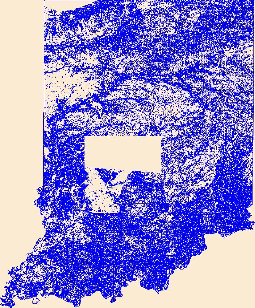
This data contains land cover (mostly vegetation types) for the entire state of Wyoming at 1:100,000 scale. Attribute fields describe primary and secondary land cover, crown closure, wetlands, disturbance and other important land cover types occuring within the polygon. Only the fields for primary land cover and percentage of each polygon occupied by that land cover are complete in the coverage, but other attribute fields are populated when information was available.
Categories: Data;
Types: Downloadable,
Map Service,
OGC WFS Layer,
OGC WMS Layer,
Shapefile;
Tags: biotic,
land cover,
natural,
plant,
urban,
This geospatial database covers vegetation land cover and land use for Wind Cave National Park and surrounding areas and is authorized as part of the USGS/NPS Vegetation Mapping Program http://www.usgs.gov/core_science_systems/csas/vip/index.html. The program is administered by the Biological Resources Division (BRD) of the United States Geological Survey (USGS). This mapping effort was performed by the US Bureau of Reclamation's (USBR) Remote Sensing and GIS Group, Technical Service Center, Denver, CO. The vegetation mapping program is part of a larger Inventory and Monitoring (I&M) program started by the National Park Service (NPS) http://science.nature.nps.gov/im/. I&M goals are, among others, to map the vegetation...
Geospatial data that is a derivative land cover product depicting woodland on topographic maps.
Vegetation at HUTR was mapped and classified by a combination of plot data, field visits and photo interpretation. Aerial photographs from September 14th, 2003 were used during the photo interpretation process. Field data used to aid in the assignment of map labels was collected in August of 2006. The protocols and standards used are those for small parks and are described in the NPS/BRD program documents (National Mapping Program Field Methods for Vegetation Mapping (1994a) for small parks (section 5.1). BOR was contracted by the Southern Colorado Plateau Network in 2005 to map approximately 1,639 acres (~ 663 ha) of Hubbell Trading Post National Historic Site and environs.Vegetation mapping for HUTR encompassed...
|

|
