Filters: Tags: LOUISIANA (X)
7,354 results (785ms)|
Filters
Date Range
Extensions Types Contacts
Categories Tag Types
|
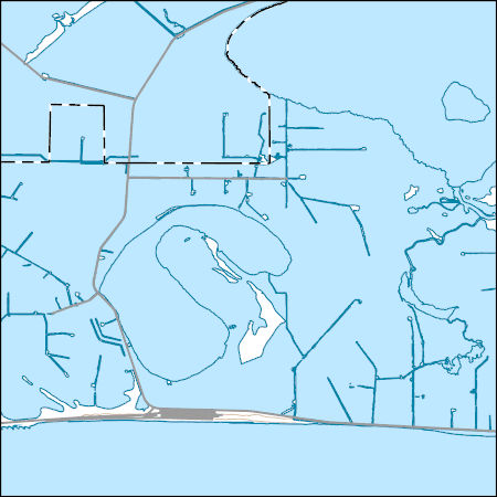
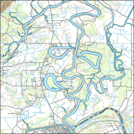
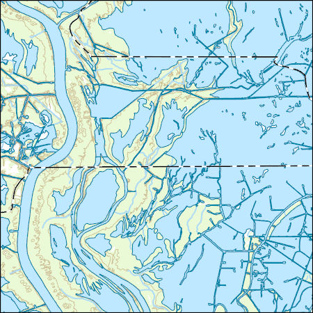
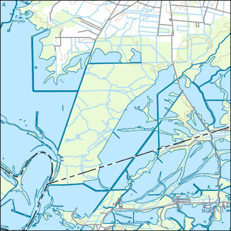
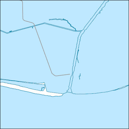
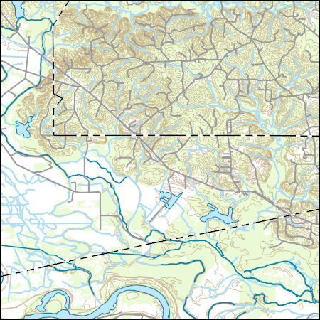
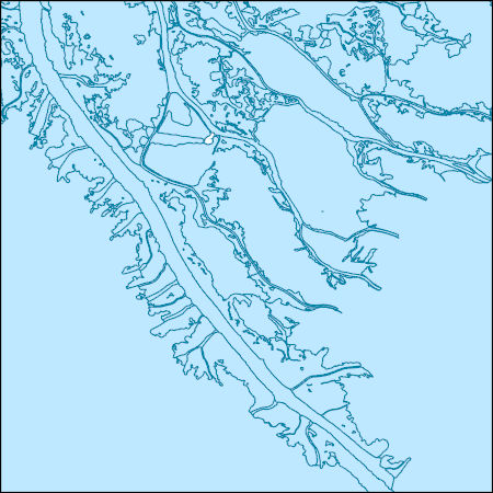
Layers of geospatial data include contours, boundaries, land cover, hydrography, roads, transportation, geographic names, structures, and other selected map features.
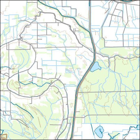
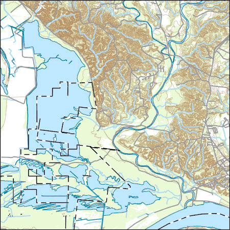
Layers of geospatial data include contours, boundaries, land cover, hydrography, roads, transportation, geographic names, structures, and other selected map features.
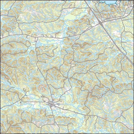
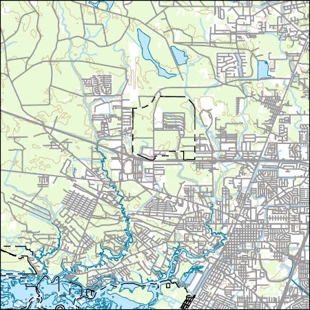
Layers of geospatial data include contours, boundaries, land cover, hydrography, roads, transportation, geographic names, structures, and other selected map features.
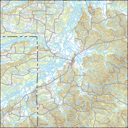
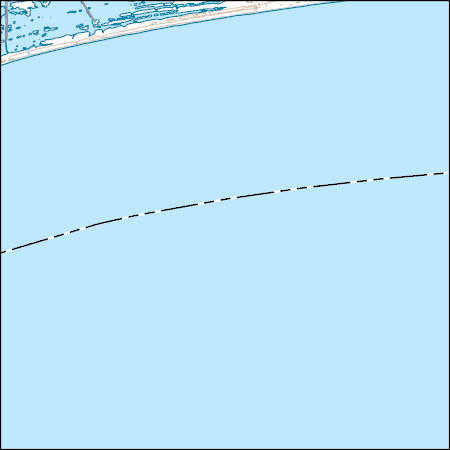
Layers of geospatial data include contours, boundaries, land cover, hydrography, roads, transportation, geographic names, structures, and other selected map features.
Layers of geospatial data include contours, boundaries, land cover, hydrography, roads, transportation, geographic names, structures, and other selected map features.
Layers of geospatial data include contours, boundaries, land cover, hydrography, roads, transportation, geographic names, structures, and other selected map features.
Layers of geospatial data include contours, boundaries, land cover, hydrography, roads, transportation, geographic names, structures, and other selected map features.
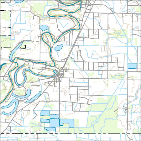
USGS Topo Map Vector Data (Vector) 38124 Robeline, Louisiana 20201208 for 7.5 x 7.5 minute Shapefile
Layers of geospatial data include contours, boundaries, land cover, hydrography, roads, transportation, geographic names, structures, and other selected map features.
Layers of geospatial data include contours, boundaries, land cover, hydrography, roads, transportation, geographic names, structures, and other selected map features.
Layers of geospatial data include contours, boundaries, land cover, hydrography, roads, transportation, geographic names, structures, and other selected map features.
Layers of geospatial data include contours, boundaries, land cover, hydrography, roads, transportation, geographic names, structures, and other selected map features.
Layers of geospatial data include contours, boundaries, land cover, hydrography, roads, transportation, geographic names, structures, and other selected map features.
Layers of geospatial data include contours, boundaries, land cover, hydrography, roads, transportation, geographic names, structures, and other selected map features.

Layers of geospatial data include contours, boundaries, land cover, hydrography, roads, transportation, geographic names, structures, and other selected map features.
The diversion of freshwater from the Mississippi River is intended to mitigate saltwater intrusion from the Gulf of Mexico and to lessen the concomitant loss of wetland areas. Though effective, freshwater diversion can affect wildlife and habitat; therefore, prediversion and postdiversion data collections are necessary to identify effects. The Davis Pond freshwater diversion area is located between the Mississippi River and Bayou Lafourche and extends to Barataria Bay Basin, Louisiana. Results and interpretations from the prediversion biomonitoring done in 2001- which included data on fish, eagles, and bivalves - are presented in the U.S. Geological Survey (USGS) Scientific Investigations Report 2008-5067, "Davis...
The diversion of freshwater from the Mississippi River is intended to mitigate saltwater intrusion from the Gulf of Mexico and to lessen the concomitant loss of wetland areas. Though effective, freshwater diversion can affect wildlife and habitat; therefore, prediversion and postdiversion data collections are necessary to identify effects. The Davis Pond freshwater diversion area is located between the Mississippi River and Bayou Lafourche and extends to Barataria Bay Basin, Louisiana. Results and interpretations from the prediversion biomonitoring done in 2001- which included data on fish, eagles, and bivalves - are presented in the U.S. Geological Survey (USGS) Scientific Investigations Report 2008-5067, "Davis...
The diversion of freshwater from the Mississippi River is intended to mitigate saltwater intrusion from the Gulf of Mexico and to lessen the concomitant loss of wetland areas. Though effective, freshwater diversion can affect wildlife and habitat; therefore, prediversion and postdiversion data collections are necessary to identify effects. The Davis Pond freshwater diversion area is located between the Mississippi River and Bayou Lafourche and extends to Barataria Bay Basin, Louisiana. Results and interpretations from the prediversion biomonitoring done in 2001- which included data on fish, eagles, and bivalves - are presented in the U.S. Geological Survey (USGS) Scientific Investigations Report 2008-5067, "Davis...
The diversion of freshwater from the Mississippi River is intended to mitigate saltwater intrusion from the Gulf of Mexico and to lessen the concomitant loss of wetland areas. Though effective, freshwater diversion can affect wildlife and habitat; therefore, prediversion and postdiversion data collections are necessary to identify effects. The Davis Pond freshwater diversion area is located between the Mississippi River and Bayou Lafourche and extends to Barataria Bay Basin, Louisiana. Results and interpretations from the prediversion biomonitoring done in 2001- which included data on fish, eagles, and bivalves - are presented in the U.S. Geological Survey (USGS) Scientific Investigations Report 2008-5067, "Davis...
The diversion of freshwater from the Mississippi River is intended to mitigate saltwater intrusion from the Gulf of Mexico and to lessen the concomitant loss of wetland areas. Though effective, freshwater diversion can affect wildlife and habitat; therefore, prediversion and postdiversion data collections are necessary to identify effects. The Davis Pond freshwater diversion area is located between the Mississippi River and Bayou Lafourche and extends to Barataria Bay Basin, Louisiana. Results and interpretations from the prediversion biomonitoring done in 2001 - which included data on fish, eagles, and bivalves - are presented in the U.S. Geological Survey (USGS) Scientific Investigations Report 2008-5067, "Davis...
Layers of geospatial data include contours, boundaries, land cover, hydrography, roads, transportation, geographic names, structures, and other selected map features.
|

|
