Filters: Tags: Lafayette, La (X)
4 results (48ms)|
Filters
Date Range
Contacts
Categories Tag Types Tag Schemes |
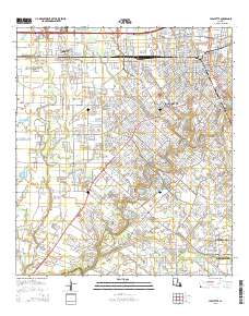
Layered GeoPDF 7.5 Minute Quadrangle Map. Layers of geospatial data include orthoimagery, roads, grids, geographic names, elevation contours, hydrography, and other selected map features.
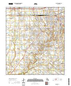
Layered geospatial PDF 7.5 Minute Quadrangle Map. Layers of geospatial data include orthoimagery, roads, grids, geographic names, elevation contours, hydrography, and other selected map features. This map is derived from GIS (geospatial information system) data. It represents a repackaging of GIS data in traditional map form, not creation of new information. The geospatial data in this map are from selected National Map data holdings and other government sources.
In recent decades the encroachment of woody mangrove species into herbaceous marshes has been documented along the U.S. northern Gulf of Mexico coast. These species shifts have been attributed primarily to rising sea levels and warming winter temperatures, but the role of elevated atmospheric carbon dioxide (CO2) and water availability may become more prominent drivers of species interactions under future climate conditions. In this greenhouse study we examined the effects of CO2 concentration (ambient, elevated) and water regime (drought, saturated, flooded) on early growth of the mangrove species Avicennia germinans and Spartina alterniflora, a herbaceous grass.
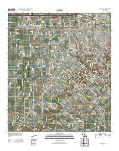
Layered GeoPDF 7.5 Minute Quadrangle Map. Layers of geospatial data include orthoimagery, roads, grids, geographic names, elevation contours, hydrography, and other selected map features.
|

|
