Filters: Tags: Lake Berryessa (X)
13 results (36ms)|
Filters
Date Range
Types Contacts
Categories Tag Types Tag Schemes |
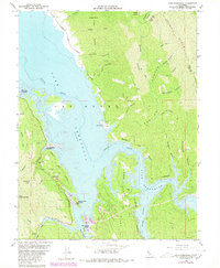
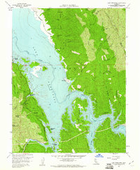
USGS Historical Quadrangle in GeoPDF.
This data set contains imagery from the National Agriculture Imagery Program (NAIP). The NAIP program is administered by USDA FSA and has been established to support two main FSA strategic goals centered on agricultural production. These are, increase stewardship of America's natural resources while enhancing the environment, and to ensure commodities are procured and distributed effectively and efficiently to increase food security. The NAIP program supports these goals by acquiring and providing ortho imagery that has been collected during the agricultural growing season in the U.S. The NAIP ortho imagery is tailored to meet FSA requirements and is a fundamental tool used to support FSA farm and conservation programs....
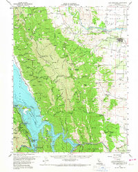
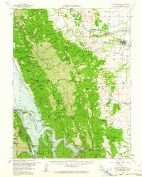
USGS Historical Quadrangle in GeoPDF.
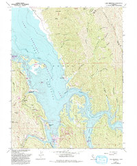
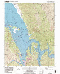
USGS Historical Quadrangle in GeoPDF.
This geologic map database is comprised of new geologic mapping, at a 1:24,000 scale, along the southern Bartlett Springs fault in the northern California Coast Ranges. The map covers an area of 258 square miles in Lake, Napa, Colusa, and Yolo counties, work was undertaken between 2016 and 2021, and supported by the USGS National Cooperative Geologic Map Program. This geodatabase contains the most up-to-date and highest resolution mapping in the region. Results and observations reported here help elucidate the geologic deformational history, as well as relationships between active older and active structures. Please consult the map pamphlet and description of map units for a detailed presentation and interpretation...
This data set contains imagery from the National Agriculture Imagery Program (NAIP). The NAIP program is administered by USDA FSA and has been established to support two main FSA strategic goals centered on agricultural production. These are, increase stewardship of America's natural resources while enhancing the environment, and to ensure commodities are procured and distributed effectively and efficiently to increase food security. The NAIP program supports these goals by acquiring and providing ortho imagery that has been collected during the agricultural growing season in the U.S. The NAIP ortho imagery is tailored to meet FSA requirements and is a fundamental tool used to support FSA farm and conservation programs....
This data set contains imagery from the National Agriculture Imagery Program (NAIP). The NAIP program is administered by USDA FSA and has been established to support two main FSA strategic goals centered on agricultural production. These are, increase stewardship of America's natural resources while enhancing the environment, and to ensure commodities are procured and distributed effectively and efficiently to increase food security. The NAIP program supports these goals by acquiring and providing ortho imagery that has been collected during the agricultural growing season in the U.S. The NAIP ortho imagery is tailored to meet FSA requirements and is a fundamental tool used to support FSA farm and conservation programs....
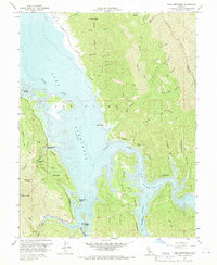
USGS Historical Quadrangle in GeoPDF.
This data release contains principal facts of gravity measurements collected by the U.S. Geological Survey in 2020-2022, a compilation of existing and new density and magnetic susceptibility data, and gridded magnetic and magnetic potential data of the Bartlett Springs Fault Zone and surrounding areas, northern California. These data support modeling of gravity and magnetic anomalies to characterize serpentinite bodies along the Bartlett Springs Fault zone as a proxy for fault creep and understand structure along the Coast Range-Sacramento Valley interface.
Categories: Data;
Tags: California Coast Range,
Geophysics,
Lake Berryessa,
Lake Pillsbury,
Round Valley,
USGS Historical Quadrangle in GeoPDF.
USGS Historical Quadrangle in GeoPDF.
USGS Historical Quadrangle in GeoPDF.
This data set contains imagery from the National Agriculture Imagery Program (NAIP). The NAIP program is administered by USDA FSA and has been established to support two main FSA strategic goals centered on agricultural production. These are, increase stewardship of America's natural resources while enhancing the environment, and to ensure commodities are procured and distributed effectively and efficiently to increase food security. The NAIP program supports these goals by acquiring and providing ortho imagery that has been collected during the agricultural growing season in the U.S. The NAIP ortho imagery is tailored to meet FSA requirements and is a fundamental tool used to support FSA farm and conservation programs....
|

|
