Filters: Tags: Lake Pillsbury (X)
16 results (22ms)|
Filters
Date Range
Types Contacts
Categories Tag Types Tag Schemes |
This data set contains imagery from the National Agriculture Imagery Program (NAIP). The NAIP program is administered by USDA FSA and has been established to support two main FSA strategic goals centered on agricultural production. These are, increase stewardship of America's natural resources while enhancing the environment, and to ensure commodities are procured and distributed effectively and efficiently to increase food security. The NAIP program supports these goals by acquiring and providing ortho imagery that has been collected during the agricultural growing season in the U.S. The NAIP ortho imagery is tailored to meet FSA requirements and is a fundamental tool used to support FSA farm and conservation programs....
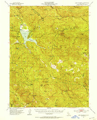
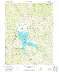
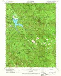
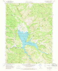
USGS Historical Quadrangle in GeoPDF.
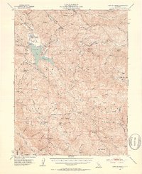
USGS Historical Quadrangle in GeoPDF.
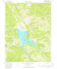
USGS Historical Quadrangle in GeoPDF.

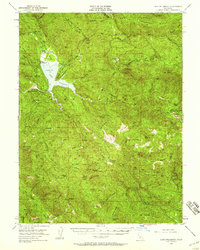
USGS Historical Quadrangle in GeoPDF.
This data set contains imagery from the National Agriculture Imagery Program (NAIP). The NAIP program is administered by USDA FSA and has been established to support two main FSA strategic goals centered on agricultural production. These are, increase stewardship of America's natural resources while enhancing the environment, and to ensure commodities are procured and distributed effectively and efficiently to increase food security. The NAIP program supports these goals by acquiring and providing ortho imagery that has been collected during the agricultural growing season in the U.S. The NAIP ortho imagery is tailored to meet FSA requirements and is a fundamental tool used to support FSA farm and conservation programs....
This data set contains imagery from the National Agriculture Imagery Program (NAIP). The NAIP program is administered by USDA FSA and has been established to support two main FSA strategic goals centered on agricultural production. These are, increase stewardship of America's natural resources while enhancing the environment, and to ensure commodities are procured and distributed effectively and efficiently to increase food security. The NAIP program supports these goals by acquiring and providing ortho imagery that has been collected during the agricultural growing season in the U.S. The NAIP ortho imagery is tailored to meet FSA requirements and is a fundamental tool used to support FSA farm and conservation programs....

USGS Historical Quadrangle in GeoPDF.
This data set contains imagery from the National Agriculture Imagery Program (NAIP). The NAIP program is administered by USDA FSA and has been established to support two main FSA strategic goals centered on agricultural production. These are, increase stewardship of America's natural resources while enhancing the environment, and to ensure commodities are procured and distributed effectively and efficiently to increase food security. The NAIP program supports these goals by acquiring and providing ortho imagery that has been collected during the agricultural growing season in the U.S. The NAIP ortho imagery is tailored to meet FSA requirements and is a fundamental tool used to support FSA farm and conservation programs....
This data release contains principal facts of gravity measurements collected by the U.S. Geological Survey in 2020-2022, a compilation of existing and new density and magnetic susceptibility data, and gridded magnetic and magnetic potential data of the Bartlett Springs Fault Zone and surrounding areas, northern California. These data support modeling of gravity and magnetic anomalies to characterize serpentinite bodies along the Bartlett Springs Fault zone as a proxy for fault creep and understand structure along the Coast Range-Sacramento Valley interface.
Categories: Data;
Tags: California Coast Range,
Geophysics,
Lake Berryessa,
Lake Pillsbury,
Round Valley,
USGS Historical Quadrangle in GeoPDF.
USGS Historical Quadrangle in GeoPDF.

USGS Historical Quadrangle in GeoPDF.
USGS Historical Quadrangle in GeoPDF.
This report presents the mineral chemistry dataset that was used in a published study of serpentinite-rich gouge from an actively creeping trace of the Bartlett Springs Fault in northern California. The fault gouge consists of porphyroclasts of antigorite serpentinite, talc, chlorite, and tremolite-actinolite in a sheared matrix of the same materials. The compositions of spinels in the serpentinite clasts (Table S1) indicate a forearc-peridotite origin for the serpentinite, consistent with a source in the Coast Range ophiolite. The other major minerals in both the porphyroclasts and matrix were analyzed (Table S2) for comparison with serpentinite-bearing gouge from the creeping section of the San Andreas Fault....
USGS Historical Quadrangle in GeoPDF.
|

|
