Filters: Tags: Lake Travis (X)
6 results (12ms)|
Filters
Date Range
Contacts
Tag Types Tag Schemes |
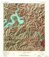
USGS Historical Quadrangle in GeoPDF.
This data release provides gradient self-potential (SP), conductivity, and temperature measurements made during an investigation of surface-water and groundwater exchange in Lake Travis near Austin, Texas, where the Colorado River is incised into two zones of the Cretaceous-age Trinity aquifer (the lower-zone, and several hydrostratigraphic units of the middle zone). The voltage, temperature, and conductivity data contained herein were continuously logged along three longitudinal profiles with the logging sensors positioned at depths of 3.0 and 6.1 meters vertically below the surface of Lake Travis, and in a cove along a fourth continuous, non-linear profile of intersecting tracks with the logging sensors positioned...
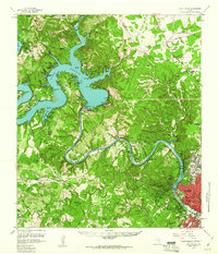
USGS Historical Quadrangle in GeoPDF.
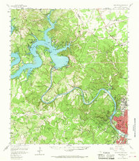
USGS Historical Quadrangle in GeoPDF.
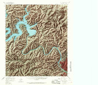
USGS Historical Quadrangle in GeoPDF.

USGS Historical Quadrangle in GeoPDF.
|

|
