Filters: Tags: Land Cover (X)
815 results (308ms)|
Filters
Date Range
Extensions Types
Contacts
Categories Tag Types
|
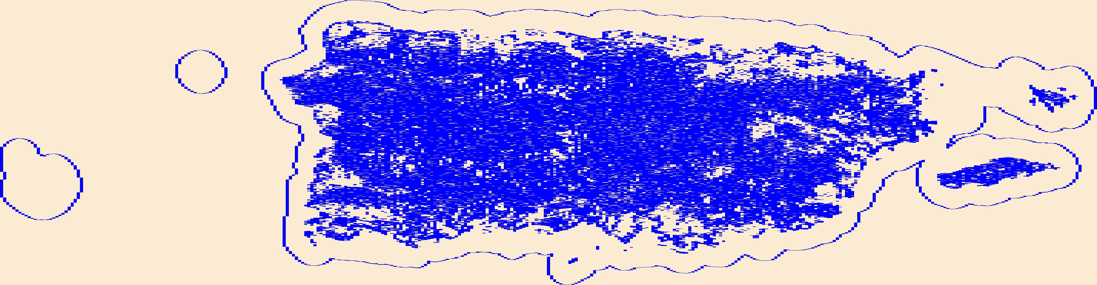
This raster file represents classification and mapping results for priority area 1 of the Cody Region and Yellowstone National Park land cover remote sensing project. Extensive field collected reference data describing the range of plant communities and habitat types comprising the Bighorn Basin have been analyzed to produce a classification of land cover types based on the Wyoming Game and Fish Department (WGFD) Wildlife Observation System (WOS). Corresponding land cover classes were subsequently spatially modeled using a non-parametric Classification and Regression Tree (CART) algorithm that integrated both spectral data from Landsat Thematic Mapper satellite imagery and a variety of ancillary environmental data...
Categories: Data;
Types: Downloadable;
Tags: Absaroka,
Bighorn Basin,
Land Cover,
Land Use,
Landcover,
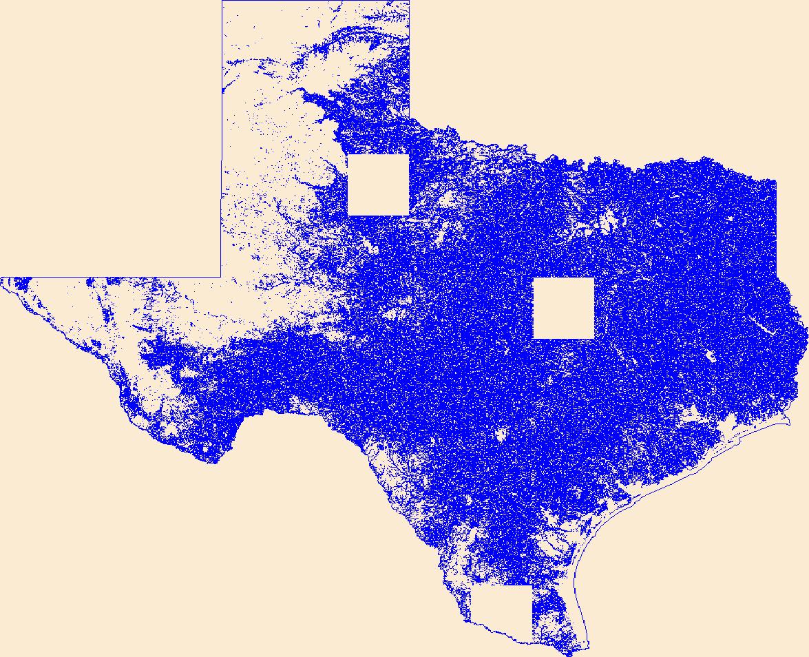
These data can be used in a geographic information system (GIS) for any number of purposes such as assessing wildlife habitat, water quality, pesticide runoff, land use change, etc. The State data sets are provided with a 300 meter buffer beyond the State border to faciliate combining the State files into larger regions. The user must have a firm understanding of how the datasets were compiled and the resulting limitations of these data. The National Land Cover Dataset was compiled from Landsat satellite TM imagery (circa 1992) with a spatial resolution of 30 meters and supplemented by various ancillary data (where available). The analysis and interpretation of the satellite imagery was conducted using very large,...
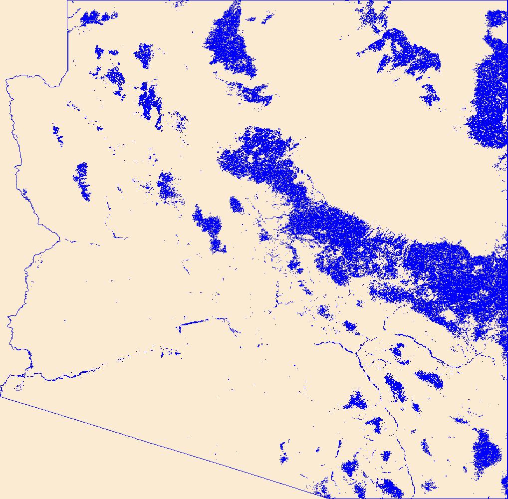
This dataset represents land cover for southeastern Wyoming including the portion of Laramie County from Interstate 25 west, all of Albany and Carbon Counties and part of Sweetwater county. The landcover map was developed from Landsat Enhanced Thematic Mapper (ETM+) data acquired in the summer of 2002 using a series of unsupervised classifications and guided labeling of classes based on field data. The map was created between 2002 and 2004 for the Wyoming Game and Fish Department as part of a larger spatial database designed to be used to help guide their land management activities, particularly in shrublands. The original resolution of this map is 30 meters, the full resolution of the Landsat multispectral data....
Categories: Data;
Types: Downloadable;
Tags: Albany County,
Carbon County,
ETM+,
Federal Government,
Landsat,
Geospatial data that is a derivative land cover product depicting woodland on topographic maps.
Geospatial data that is a derivative land cover product depicting woodland on topographic maps.
The National Land Cover Database products are created through a cooperative project conducted by the Multi-Resolution Land Characteristics (MRLC) Consortium. The MRLC Consortium is a partnership of federal agencies (www.mrlc.gov), consisting of the U.S. Geological Survey (USGS), the National Oceanic and Atmospheric Administration (NOAA), the U.S. Environmental Protection Agency (EPA), the U.S. Department of Agriculture (USDA), the U.S. Forest Service (USFS), the National Park Service (NPS), the U.S. Fish and Wildlife Service (FWS), the Bureau of Land Management (BLM) and the USDA Natural Resources Conservation Service (NRCS). Previously, NLCD consisted of three major data releases based on a 10-year cycle. These...
Geospatial data that is a derivative land cover product depicting woodland on topographic maps.
Accurate and consistent estimates of shrubland ecosystem components are crucial to a better understanding of ecosystems condition in arid and semiarid lands. We developed an innovative approach by integrating multiple information to quantify shrubland components as continuous field products within the National Land Cover Database (NLCD). The approach consists of five major parts: field sample collection, high-resolution mapping of shrubland components using WorldView-2 imagery and regression tree models, Landsat 8 radiometric balancing and phenological mosaicking, coarse resolution estimate of shrubland components across a large geographic extent using Landsat 8 phenological mosaics and regression tree models, and...
Accurate and consistent estimates of shrubland ecosystem components are crucial to a better understanding of ecosystems condition in arid and semiarid lands. We developed an innovative approach by integrating multiple information to quantify shrubland components as continuous field products within the National Land Cover Database (NLCD). The approach consists of five major parts: field sample collection, high-resolution mapping of shrubland components using WorldView-3 imagery and regression tree models, Landsat 8 radiometric balancing and phenological mosaicking, coarse resolution estimate of shrubland components across a large geographic extent using Landsat 8 phenological mosaics and regression tree models, and...
The U.S. Geological Survey's Upper Midwest Environmental Sciences Center (UMESC) has created a high-resolution land cover/use data set for Mississippi River Navigation Pool 8 from 1:10,000-scale color infrared aerial photos collected August 26th, 2004. The photos were interpreted using a 1-acre 10% minimum vegetation cover to delineate land cover/land use, percent vegetation cover, tree height, and hydrology regime. The geographic extent of Navigation Pool 8 is the section of the river upstream of Lock and Dam 8 (river mile 679.2) located near Genoa, WI, to Lock and Dam 7 (river mile 702.5) located near Dresbach, MN.
Categories: Data;
Types: Shapefile;
Tags: Minnesota,
Mississippi River,
Upper Mississippi River,
Wisconsin,
land cover,
Aerial photographs for Pools 1-13 Upper Mississippi River System and Pools, Alton-Marseilles, Illinois River were collected in color infrared (CIR) in August of 2010 at 8”/pixel and 16”/pixel respectively using a mapping-grade Applanix DSS 439 digital aerial camera. In August 2011, CIR aerial photographs for Pools 14-Open River South, Upper Mississippi River and Pools Dresden-Lockport, Illinois River were collected at 16”/pixel with the same camera. All CIR aerial photos were orthorectified, mosaicked, compressed, and served via the UMESC Internet site. The CIR aerial photos were interpreted and automated using a 31-class LTRMP vegetation classification. The 2010/11 LCU databases were prepared by or under the supervision...
Categories: Data;
Types: Map Service,
OGC WFS Layer,
OGC WMS Layer,
OGC WMS Service;
Tags: Aerial Photography,
Floodplain,
Floodplain Forest Mapping,
Floodplain Mapping,
Iowa,
The U.S. Geological Survey's Upper Midwest Environmental Sciences Center (UMESC) is in the process of creating high-resolution land cover/use data sets for the Upper Mississippi River System (UMRS) from 1:24,000-scale color infrared aerial photos collected in 2000. The photos are being interpreted using a 1-hectare 10% minimum vegetation cover to delineate land cover/land use, percent vegetation cover, tree height, and hydrology regime. The geographic extent of the UMRS is the Mississippi River from Cairo, IL to Minneapolis, MN and the Illinois River from its confluence with the Mississippi near Grafton, IL to Lake Michigan.
Categories: Data;
Types: Map Service,
OGC WFS Layer,
OGC WMS Layer,
OGC WMS Service;
Tags: Land Cover,
Land Cover Land Use,
Mapping
The U.S. Geological Survey's Upper Midwest Environmental Sciences Center (UMESC) is in the process of creating high-resolution land cover/use data sets for the Upper Mississippi River System (UMRS) from 1:24,000-scale color infrared aerial photos collected in 2000. The photos are being interpreted using a 1-hectare 10% minimum vegetation cover to delineate land cover/land use, percent vegetation cover, tree height, and hydrology regime. The geographic extent of the UMRS is the Mississippi River from Cairo, IL to Minneapolis, MN and the Illinois River from its confluence with the Mississippi near Grafton, IL to Lake Michigan.
The U.S. Geological Survey's Upper Midwest Environmental Sciences Center (UMESC) is in the process of creating high-resolution land cover/use data sets for the Upper Mississippi River System (UMRS) from 1:24,000-scale color infrared aerial photos collected in 2000. The photos are being interpreted using a 1-hectare 10% minimum vegetation cover to delineate land cover/land use, percent vegetation cover, tree height, and hydrology regime. The geographic extent of the UMRS is the Mississippi River from Cairo, IL to Minneapolis, MN and the Illinois River from its confluence with the Mississippi near Grafton, IL to Lake Michigan.
Categories: Data;
Types: Map Service,
OGC WFS Layer,
OGC WMS Layer,
OGC WMS Service;
Tags: Land Cover,
Land Cover Land Use,
Mapping
The Great River Environmental Action Team (GREAT) was a federal/state multi-agency cooperative program established in the late 1970's to evaluate current resource management practices and develop management strategies for the Upper Mississippi River (UMR). One of the problems facing the GREAT project was the lack of available information on many of the river's components. One project implemented by GREAT was the creation of a land cover/land use (LCU) database derived from color infrared aerial photography collected in 1975. Mississippi River Pools 3 through 10 were photographed at a scale of 1:9,600, and Lock and Dam 10 to the Ohio River were photographed at a scale of 1:24,000. The program's photo interpreters...
The Great River Environmental Action Team (GREAT) was a federal/state multi-agency cooperative program established in the late 1970's to evaluate current resource management practices and develop management strategies for the Upper Mississippi River (UMR). One of the problems facing the GREAT project was the lack of available information on many of the river's components. One project implemented by GREAT was the creation of a land cover/land use (LCU) database derived from color infrared aerial photography collected in 1975. Mississippi River Pools 3 through 10 were photographed at a scale of 1:9,600, and Lock and Dam 10 to the Ohio River were photographed at a scale of 1:24,000. The program's photo interpreters...
Aerial photographs for Pools 1-13 Upper Mississippi River System and Pools, Alton-Marseilles, Illinois River were collected in color infrared (CIR) in August of 2010 at 8”/pixel and 16”/pixel respectively using a mapping-grade Applanix DSS 439 digital aerial camera. In August 2011, CIR aerial photographs for Pools 14-Open River South, Upper Mississippi River and Pools Dresden-Lockport, Illinois River were collected at 16”/pixel with the same camera. All CIR aerial photos were orthorectified, mosaicked, compressed, and served via the UMESC Internet site. The CIR aerial photos were interpreted and automated using a 31-class LTRMP vegetation classification. The 2010/11 LCU databases were prepared by or under the supervision...
Categories: Data;
Types: Downloadable,
Map Service,
OGC WFS Layer,
OGC WMS Layer,
OGC WMS Service,
Shapefile;
Tags: Aerial Photography,
Floodplain,
Floodplain Forest Mapping,
Floodplain Mapping,
LC/LU,
Aerial photographs for Pools 1-13 Upper Mississippi River System and Pools, Alton-Marseilles, Illinois River were collected in color infrared (CIR) in August of 2010 at 8”/pixel and 16”/pixel respectively using a mapping-grade Applanix DSS 439 digital aerial camera. In August 2011, CIR aerial photographs for Pools 14-Open River South, Upper Mississippi River and Pools Dresden-Lockport, Illinois River were collected at 16”/pixel with the same camera. All CIR aerial photos were orthorectified, mosaicked, compressed, and served via the UMESC Internet site. The CIR aerial photos were interpreted and automated using a 31-class LTRMP vegetation classification. The 2010/11 LCU databases were prepared by or under the supervision...
Categories: Data;
Types: Downloadable,
Map Service,
OGC WFS Layer,
OGC WMS Layer,
OGC WMS Service,
Shapefile;
Tags: Aerial Photography,
Floodplain,
Floodplain Forest Mapping,
Floodplain Mapping,
Illinois,
This is a collection of data tables supporting the LCMAP CONUS Geographic Assessment v1.0. The data used to generate these tables come from the USGS LCMAP reference dataset and the map products released by LCMAP. Tables include annual land cover class composition and annual rate of land cover change metrics developed with a post-stratified estimator. Other tables including annual gross change of specific types of land covers, cumulative metrics of overall geographic footprint of change, frequency of overall geographic footprint of change, overall area estimates of specific class changes, and all unique changes in land cover classes. All tables cover the time period 1985-2016. All values in these tables are presented...
|

|
