Filters: Tags: Larimer County (X)
466 results (18ms)|
Filters
Date Range
Extensions Types Contacts
Categories Tag Types
|
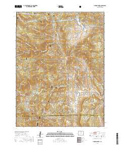
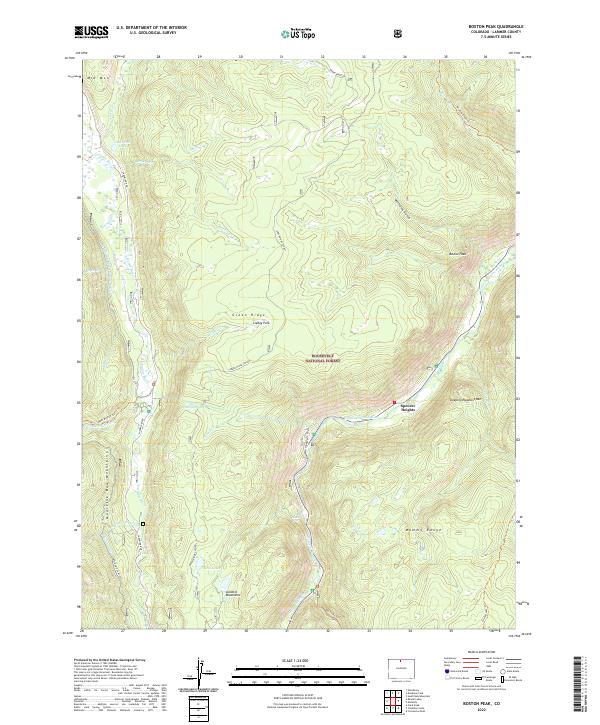
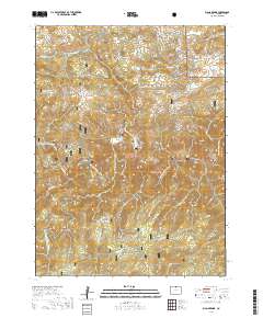
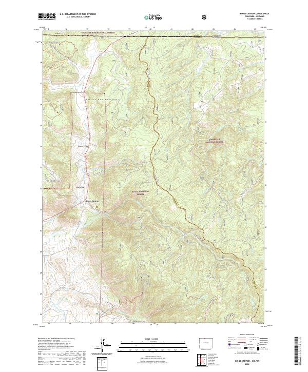
Layered geospatial PDF 7.5 Minute Quadrangle Map. Layers of geospatial data include orthoimagery, roads, grids, geographic names, elevation contours, hydrography, and other selected map features. This map is derived from GIS (geospatial information system) data. It represents a repackaging of GIS data in traditional map form, not creation of new information. The geospatial data in this map are from selected National Map data holdings and other government sources.
Layered geospatial PDF 7.5 Minute Quadrangle Map. Layers of geospatial data include orthoimagery, roads, grids, geographic names, elevation contours, hydrography, and other selected map features. This map is derived from GIS (geospatial information system) data. It represents a repackaging of GIS data in traditional map form, not creation of new information. The geospatial data in this map are from selected National Map data holdings and other government sources.
Layered geospatial PDF 7.5 Minute Quadrangle Map. Layers of geospatial data include orthoimagery, roads, grids, geographic names, elevation contours, hydrography, and other selected map features. This map is derived from GIS (geospatial information system) data. It represents a repackaging of GIS data in traditional map form, not creation of new information. The geospatial data in this map are from selected National Map data holdings and other government sources.
Layered geospatial PDF 7.5 Minute Quadrangle Map. Layers of geospatial data include orthoimagery, roads, grids, geographic names, elevation contours, hydrography, and other selected map features. This map is derived from GIS (geospatial information system) data. It represents a repackaging of GIS data in traditional map form, not creation of new information. The geospatial data in this map are from selected National Map data holdings and other government sources.
FOSSIL CR AT COLLEGE AVE, AT FT COLLINS, CO
Matthew's Pond; Bog/Wetland off right side of road to Chamber's Lake
Matthew's Pond; Bog/Wetland off right side of road to Chamber's Lake
Matthew's Pond; Bog/Wetland off right side of road to Chamber's Lake
Lily's Pond off Long Draw Road
Matthew's Pond; Bog/Wetland off right side of road to Chamber's Lake
FOSSIL CR AT COLLEGE AVE, AT FT COLLINS, CO
CACHE LA POUDRE RIV AT MO OF CN, NR FT COLLINS, CO
Matthew's Pond; Bog/Wetland off right side of road to Chamber's Lake
Matthew's Pond; Bog/Wetland off right side of road to Chamber's Lake
Matthew's Pond; Bog/Wetland off right side of road to Chamber's Lake
Matthew's Pond; Bog/Wetland off right side of road to Chamber's Lake
CACHE LA POUDRE RIV AT MO OF CN, NR FT COLLINS, CO
Poudre River Rocks edge of river, off rt 14, Larimer county, CO
outlet creek Twin crater lakes, 11,000', larimer, CO, rawah wilderness
|

|
