Filters: Tags: Leadville (X) > partyWithName: U.S. Geological Survey (X)
20 results (44ms)|
Filters
Date Range
Contacts
Tag Types Tag Schemes
|
The Leadville North 7.5' quadrangle lies at the northern end of the Upper Arkansas Valley, where the Continental Divide at Tennessee Pass creates a low drainage divide between the Colorado and Arkansas River watersheds. In the eastern half of the quadrangle, the Paleozoic sedimentary section dips generally 20–30 degrees east. At Tennessee Pass and Missouri Hill, the core of the Sawatch anticlinorium is mapped as displaying a tight hanging-wall syncline and foot-wall anticline within the basement-cored structure. High-angle, west-dipping, Neogene normal faults cut the eastern margin of the broad, Sawatch anticlinorium. Minor displacements along high-angle, east- and west-dipping Laramide reverse faults occurred in...
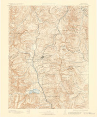
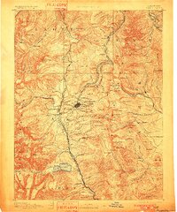
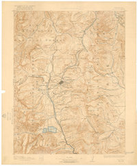
USGS Historical Quadrangle in GeoPDF.

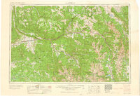
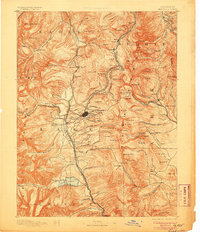
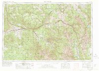
USGS Historical Quadrangle in GeoPDF.

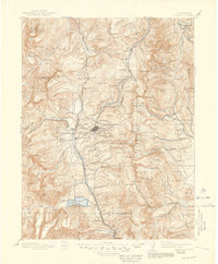
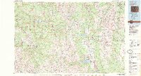
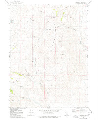
USGS Historical Quadrangle in GeoPDF.
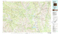
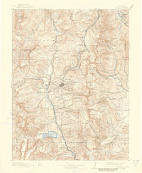
USGS Historical Quadrangle in GeoPDF.

USGS Historical Quadrangle in GeoPDF.
USGS Historical Quadrangle in GeoPDF.
USGS Historical Quadrangle in GeoPDF.
USGS Historical Quadrangle in GeoPDF.

USGS Historical Quadrangle in GeoPDF.

USGS Historical Quadrangle in GeoPDF.
USGS Historical Quadrangle in GeoPDF.
USGS Historical Quadrangle in GeoPDF.

USGS Historical Quadrangle in GeoPDF.
USGS Historical Quadrangle in GeoPDF.

USGS Historical Quadrangle in GeoPDF.
USGS Historical Quadrangle in GeoPDF.

USGS Historical Quadrangle in GeoPDF.
USGS Historical Quadrangle in GeoPDF.
USGS Historical Quadrangle in GeoPDF.
|

|
