Filters: Tags: Leslie County (X)
84 results (47ms)|
Filters
Date Range
Extensions Types Contacts
Categories Tag Types Tag Schemes |
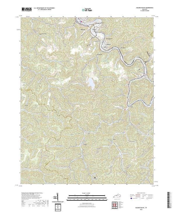
Layered geospatial PDF 7.5 Minute Quadrangle Map. Layers of geospatial data include orthoimagery, roads, grids, geographic names, elevation contours, hydrography, and other selected map features. This map is derived from GIS (geospatial information system) data. It represents a repackaging of GIS data in traditional map form, not creation of new information. The geospatial data in this map are from selected National Map data holdings and other government sources.
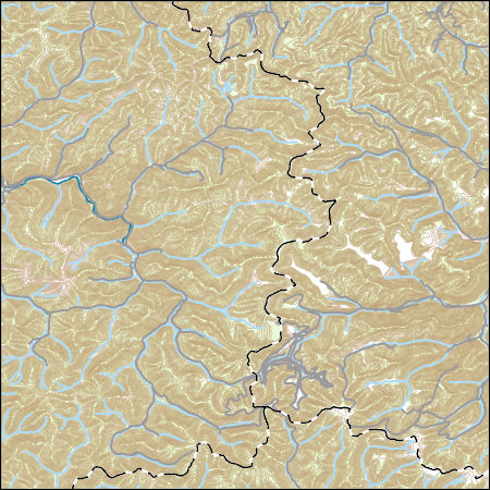
Layers of geospatial data include contours, boundaries, land cover, hydrography, roads, transportation, geographic names, structures, and other selected map features.
Types: Citation;
Tags: 7.5 x 7.5 minute,
7_5_Min,
Combined Vector,
Combined Vector,
Combined Vector,
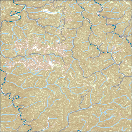
Layers of geospatial data include contours, boundaries, land cover, hydrography, roads, transportation, geographic names, structures, and other selected map features.
Types: Citation;
Tags: 7.5 x 7.5 minute,
7_5_Min,
Combined Vector,
Combined Vector,
Combined Vector,
These data are bathymetry (lake bottom elevation) in XYZ format (Easting, Northing, Elevation), generated from the May 30–June 1, 2023, bathymetric survey of Buckhorn Lake, Kentucky, from the dam to CR-1475 (19.5 miles total reach length). Hydrographic data were collected using a RESON 210 kHz NaviSound single-beam echosounder (SBES) with a Hemisphere A222 integrated global navigation satellite system (GNSS) smart antenna. The SBES and GNSS antenna were mounted on a marine survey vessel, and data were collected as the survey vessel traversed the lake along planned survey lines. A total of 380 survey lines were oriented approximately perpendicular to the primary flow direction at generally 250-foot or 500-foot spacing....
|

|
