Filters: Tags: MIDDLE RIVER (X)
22 results (85ms)|
Filters
Date Range
Types Contacts
Categories Tag Types Tag Schemes |
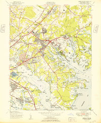
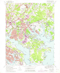
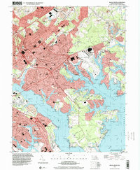
This data set contains imagery from the National Agriculture Imagery Program (NAIP). The NAIP program is administered by USDA FSA and has been established to support two main FSA strategic goals centered on agricultural production. These are, increase stewardship of America's natural resources while enhancing the environment, and to ensure commodities are procured and distributed effectively and efficiently to increase food security. The NAIP program supports these goals by acquiring and providing ortho imagery that has been collected during the agricultural growing season in the U.S. The NAIP ortho imagery is tailored to meet FSA requirements and is a fundamental tool used to support FSA farm and conservation programs....
Vegetation type and density data were collected by the U.S. Geological Survey (USGS) Pacific Coastal and Marine Science Center at three locations in the Sacramento-San Joaquin Delta. Data were collected in Lindsey Slough in April 2017, and Middle River and the Mokelumne River in March 2018. Vegetation samples were collected by divers, and used to determine dry biomass density. These data were collected as part of a cooperative project, with the USGS California Water Science Center and the California Department of Fish and Wildlife, on the effects of invasive aquatic vegetation on sediment transport in the Sacramento-San Joaquin Delta.
Categories: Data;
Tags: CMHRP,
Coastal and Marine Hazards and Resources Program,
Invasive Species,
Lindsey Slough,
Marsh,
USGS Historical Quadrangle in GeoPDF.
This data set contains imagery from the National Agriculture Imagery Program (NAIP). The NAIP program is administered by USDA FSA and has been established to support two main FSA strategic goals centered on agricultural production. These are, increase stewardship of America's natural resources while enhancing the environment, and to ensure commodities are procured and distributed effectively and efficiently to increase food security. The NAIP program supports these goals by acquiring and providing ortho imagery that has been collected during the agricultural growing season in the U.S. The NAIP ortho imagery is tailored to meet FSA requirements and is a fundamental tool used to support FSA farm and conservation programs....
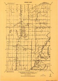
USGS Historical Quadrangle in GeoPDF.
USGS Historical Quadrangle in GeoPDF.
These data present suspended particle size distributions collected by the U.S. Geological Survey (USGS) Pacific Coastal and Marine Science Center at three locations in the Sacramento-San Joaquin Delta. Data were collected in Lindsey Slough on April 4 and April 18, 2017, and near the mouth of the Mokelumne River and in Middle River on March 14, 2018 by deploying a Sequoia Scientific Laser In-situ Scattering and Transmissometry instrument (LISST 100x) from a small vessel during the deployment of the hydrographic time series data instruments. At each site, data were collected 1 to 2 times, generally near the water surface, at mid depth, and near the sediment bed. These data were collected as part of a study on the...
This data set contains imagery from the National Agriculture Imagery Program (NAIP). The NAIP program is administered by USDA FSA and has been established to support two main FSA strategic goals centered on agricultural production. These are, increase stewardship of America's natural resources while enhancing the environment, and to ensure commodities are procured and distributed effectively and efficiently to increase food security. The NAIP program supports these goals by acquiring and providing ortho imagery that has been collected during the agricultural growing season in the U.S. The NAIP ortho imagery is tailored to meet FSA requirements and is a fundamental tool used to support FSA farm and conservation programs....
USGS Historical Quadrangle in GeoPDF.
USGS Historical Quadrangle in GeoPDF.
This data set contains imagery from the National Agriculture Imagery Program (NAIP). The NAIP program is administered by USDA FSA and has been established to support two main FSA strategic goals centered on agricultural production. These are, increase stewardship of America's natural resources while enhancing the environment, and to ensure commodities are procured and distributed effectively and efficiently to increase food security. The NAIP program supports these goals by acquiring and providing ortho imagery that has been collected during the agricultural growing season in the U.S. The NAIP ortho imagery is tailored to meet FSA requirements and is a fundamental tool used to support FSA farm and conservation programs....
This data set contains imagery from the National Agriculture Imagery Program (NAIP). The NAIP program is administered by USDA FSA and has been established to support two main FSA strategic goals centered on agricultural production. These are, increase stewardship of America's natural resources while enhancing the environment, and to ensure commodities are procured and distributed effectively and efficiently to increase food security. The NAIP program supports these goals by acquiring and providing ortho imagery that has been collected during the agricultural growing season in the U.S. The NAIP ortho imagery is tailored to meet FSA requirements and is a fundamental tool used to support FSA farm and conservation programs....
USGS Historical Quadrangle in GeoPDF.
This part of the data release contains high-resolution acoustic-backscatter data collected by the U.S. Geological Survey (USGS) Pacific Coastal and Marine Science Center at three study locations in the Sacramento-San Joaquin Delta, California. Data were collected in Lindsey Slough in April 2017, Middle River in March 2018, and Mokelumne River in March 2018, using an interferometric bathymetric sidescan sonar systems mounted to the USGS R/V Parke Snavely. Data are provided in 1-m resolution GeoTIFF formats. These data were collected as part of a study of the effects of invasive aquatic vegetation on sediment transport in the Sacramento-San Joaquin Delta.
Hydrodynamic and sediment transport time-series data, including water depth, velocity, turbidity, conductivity, and temperature, were collected by the U.S. Geological Survey (USGS) Pacific Coastal and Marine Science Center at three locations in the Sacramento-San Joaquin Delta. Data were collected in Lindsey Slough in April 2017, and Middle River and the Mokelumne River in March 2018. Data files are grouped by location. At each of the three sites, data were collected at stations outside and within patches of vegetation, to determine how submerged invasive vegetation influences tidal currents and suspended-sediment concentration. The Table below shows the data types collected at each station, and classifies stations...
Categories: Data;
Tags: CMHRP,
CTD,
CTD measurement,
Coastal and Marine Hazards and Resources Program,
Conductivity,
This data set contains imagery from the National Agriculture Imagery Program (NAIP). The NAIP program is administered by USDA FSA and has been established to support two main FSA strategic goals centered on agricultural production. These are, increase stewardship of America's natural resources while enhancing the environment, and to ensure commodities are procured and distributed effectively and efficiently to increase food security. The NAIP program supports these goals by acquiring and providing ortho imagery that has been collected during the agricultural growing season in the U.S. The NAIP ortho imagery is tailored to meet FSA requirements and is a fundamental tool used to support FSA farm and conservation programs....
This data set contains imagery from the National Agriculture Imagery Program (NAIP). The NAIP program is administered by USDA FSA and has been established to support two main FSA strategic goals centered on agricultural production. These are, increase stewardship of America's natural resources while enhancing the environment, and to ensure commodities are procured and distributed effectively and efficiently to increase food security. The NAIP program supports these goals by acquiring and providing ortho imagery that has been collected during the agricultural growing season in the U.S. The NAIP ortho imagery is tailored to meet FSA requirements and is a fundamental tool used to support FSA farm and conservation programs....
|

|
