Filters: Tags: Mackay (X)
14 results (37ms)|
Filters
Date Range
Types Contacts
Categories Tag Types Tag Schemes |
Groundwater in the Big Lost River Basin is vital to irrigated agriculture in the basin and water users are concerned about declining groundwater levels. The U.S. Geological Survey, in cooperation with the Idaho Department of Water Resources, developed a hydrogeologic framework to provide a conceptual understanding of groundwater resources in the Big Lost River Basin. A three-dimensional hydrogeologic framework model of the Big Lost River Basin was generated to represent the subsurface distribution and thickness of four hydrogeologic units. The primary source of data for the hydrogeologic framework model was lithologic and well construction data from a well database (621 wells) compiled for this purpose. This data...
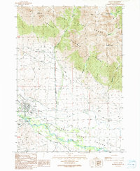
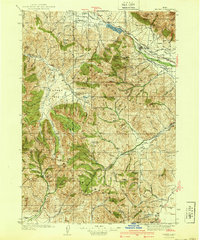
USGS Historical Quadrangle in GeoPDF.
USGS Historical Quadrangle in GeoPDF.
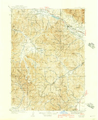
USGS Historical Quadrangle in GeoPDF.
This data set contains imagery from the National Agriculture Imagery Program (NAIP). The NAIP program is administered by USDA FSA and has been established to support two main FSA strategic goals centered on agricultural production. These are, increase stewardship of America's natural resources while enhancing the environment, and to ensure commodities are procured and distributed effectively and efficiently to increase food security. The NAIP program supports these goals by acquiring and providing ortho imagery that has been collected during the agricultural growing season in the U.S. The NAIP ortho imagery is tailored to meet FSA requirements and is a fundamental tool used to support FSA farm and conservation programs....
Groundwater in the Big Lost River Basin is vital to irrigated agriculture in the basin and water users are concerned about declining groundwater levels. The U.S. Geological Survey, in cooperation with the Idaho Department of Water Resources, developed a hydrogeologic framework to provide a conceptual understanding of groundwater resources in the Big Lost River Basin. A three-dimensional hydrogeologic framework model of the Big Lost River Basin was generated to represent the subsurface distribution and thickness of four hydrogeologic units. This dataset represents the hydrogeologic framework model in an ASCII tab-delimited text file containing coordinate, altitude and hydrogeologic unit data. This hydrogeologic framework...
Groundwater in the Big Lost River Basin is vital to irrigated agriculture in the basin and water users are concerned about declining groundwater levels. The U.S. Geological Survey, in cooperation with the Idaho Department of Water Resources, developed a hydrogeologic framework to provide a conceptual understanding of groundwater resources in the Big Lost River Basin. A three-dimensional hydrogeologic framework model of the Big Lost River Basin was generated to represent the subsurface distribution and thickness of four hydrogeologic units. The primary source of data for the hydrogeologic framework model was lithologic and well construction data from a well database (621 wells) compiled for this purpose. The well...
This data set contains imagery from the National Agriculture Imagery Program (NAIP). The NAIP program is administered by USDA FSA and has been established to support two main FSA strategic goals centered on agricultural production. These are, increase stewardship of America's natural resources while enhancing the environment, and to ensure commodities are procured and distributed effectively and efficiently to increase food security. The NAIP program supports these goals by acquiring and providing ortho imagery that has been collected during the agricultural growing season in the U.S. The NAIP ortho imagery is tailored to meet FSA requirements and is a fundamental tool used to support FSA farm and conservation programs....
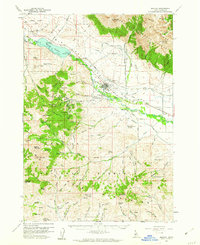
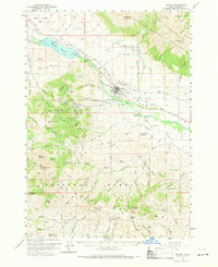
USGS Historical Quadrangle in GeoPDF.
This data set contains imagery from the National Agriculture Imagery Program (NAIP). The NAIP program is administered by USDA FSA and has been established to support two main FSA strategic goals centered on agricultural production. These are, increase stewardship of America's natural resources while enhancing the environment, and to ensure commodities are procured and distributed effectively and efficiently to increase food security. The NAIP program supports these goals by acquiring and providing ortho imagery that has been collected during the agricultural growing season in the U.S. The NAIP ortho imagery is tailored to meet FSA requirements and is a fundamental tool used to support FSA farm and conservation programs....
Groundwater potentiometric-surface contours for spring 2022 (April 4 to 8, 2022) and autumn 2022 (October 30 to November 4, 2022) were created for the alluvial aquifer in Big Lost River Valley. The well numbers and station names used to create the potentiometric-surface contours and groundwater-level change maps are provided in this data release. The location, depth to water, and potentiometric-surface altitude for these wells can be accessed on USGS National Water Information System (NWIS) or Idaho Department of Water Resources (IDWR) groundwater portal. The interpreted 20-foot contours of the potentiometric-surface are also provided in this data release. The contours are referenced to the North American Vertical...

USGS Historical Quadrangle in GeoPDF.
|

|
