Filters: Tags: Mariana Islands (X) > partyWithName: U.S. Geological Survey (X)
2 results (11ms)|
Filters
Date Range
Types Contacts
Categories Tag Types Tag Schemes
|
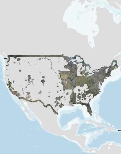
USGS high resolution orthorectified images from The National Map combine the image characteristics of an aerial photograph with the geometric qualities of a map. An orthoimage is a uniform-scale image where corrections have been made for feature displacement such as building tilt and for scale variations caused by terrain relief, sensor geometry, and camera tilt. A mathematical equation based on ground control points, sensor calibration information, and a digital elevation model is applied to each pixel to rectify the image to obtain the geometric qualities of a map. A digital orthoimage may be created from several photographs mosaicked to form the final image. The source imagery may be black-and-white, natural...
Nest success and predation data for Mariana swiftlets (Aerodramus bartschi), Hawai'i, USA, 2006-2010
This study examined the reproductive biology of the Mariana Swiftlet over five annual cycles on the island of O‘ahu in the Hawaiian Islands. This introduced population used a human-made tunnel for roosting and nesting, and was studied as a surrogate to negate interference with the endangered populations in the Mariana Islands. Active nests (N = 478) were observed in every month of the year. Data recorded included: nest visit dates, date nests were identified, number of visits to each nest; nest stage, nest fate, nest failure status, number of rat traps present, number of rats captures, daily rainfall, and nest ages.
|

|
