Filters: Tags: Maui (X) > Types: Citation (X)
11 results (77ms)|
Filters
Date Range
Extensions Types
Contacts
Categories Tag Types
|
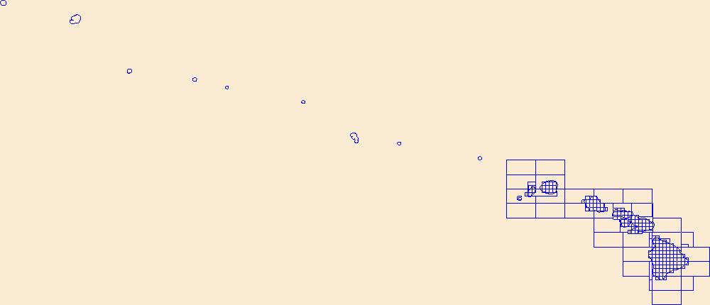
This data represents the map extent for current and historical USGS topographic maps for the United States and Territories, including 1 X 2 Degree, 1 X 1 Degree, 30 X 60 Minute, 15 X 15 Minute, 7.5 X 7.5 Minute, and 3.75 X 3.75 Minute. The grid was generated using ESRI ArcInfo GIS software.
This dataset provides information on the current status and various other habitat and descriptive attributes of the native coastal vegetation for seven of the main Hawaiian Islands (i.e., does not include Ni`ihau).
Categories: Data;
Types: ArcGIS REST Map Service,
ArcGIS Service Definition,
Citation,
Downloadable,
Map Service;
Tags: Ecology,
Hawaii,
Kahoolawe,
Kauai,
Lanai,
Here we present surface current results from a physics-based, 3-dimensional coupled ocean-atmosphere numerical model that was generated to understand coral larval dispersal patterns in Maui Nui, Hawaii, USA. The model was used to simulate coral larval dispersal patterns from a number of existing State-managed reefs and large tracks of reefs with high coral coverage that might be good candidates for marine-protected areas (MPAs) during 8 spawning events during 2010-2013. The goal of this effort is to provide geophysical data to help provide guidance to sustain coral health in Maui Nui, Hawaii, USA. Each model output run is available as a netCDF file with self-contained attribute information. Each file name is appended...
Categories: Data;
Types: Citation,
Map Service,
NetCDF OPeNDAP Service,
OGC WFS Layer,
OGC WMS Layer,
OGC WMS Service;
Tags: CMGP,
Coastal and Marine Geology Program,
Geophysics,
Hawaii,
Kahoolawe,
Geospatial data is comprised of government boundaries.
Types: Citation;
Tags: Boundaries,
County or Equivalent,
Downloadable Data,
Esri File GeoDatabase 10,
FileGDB,
This layer depicts the status, or degree of disturbance, to plant communities on the main Hawaiian Islands. Several layers were uset to create this version (v 3.4). The original HabQual layer was developed by Jon Price and Jim Jacobi based on the mapped land cover units from the Hawaii GAP analysis program (Gon et al. 2006). This map was revised by combining data on land use and the “Bare” category from the NOAA C-CAP 2005 map (NOAA National Ocean Service Coastal Services Center 2012), and adding road corridors to the heavily disturbed category based on the Tiger Roads layer (United States Census Bureau 2014). Additionally, corrections were made to this version of the map by visually inspecting previously mapped...
Categories: Data;
Types: Citation,
Downloadable,
GeoTIFF,
Map Service,
Raster;
Tags: Hawaii Island,
Hawaiian Islands,
Kahoolawe,
Kauai,
Lanai,
The data set consists of 3 spreadsheets: counts, efforts, and location that detail the 10-year removal effort of invasive Veiled Chameleons (Chamaeleo calyptratus) on the island of Maui. Recorded are the number of lizards removed from each site, the level of search effort at each site, and the centroid location of each sampled site.
Categories: Data;
Types: Citation;
Tags: Hawaii,
Maui,
USGS Science Data Catalog (SDC),
biota,
herpetology,
While there have been many maps produced that depict vegetation for the state of Hawai‘i only a few of these display land cover for all of the main Hawaiian Islands, and most of those that were created before the year 2000 have very generalized units or are somewhat inaccurate as a result of more recent land use changes or due to poor resolution (both spatial and spectral) in the imagery that was used to produce the map. Some of the more detailed and accurate maps include the Hawai‘i GAP Analysis (HI-GAP) Land Cover map (Gon et al. 2006), the NOAA C-CAP Land Cover map (NOAA National Ocean Service Coastal Services Center 2012), and the more recently released Hawai‘i LANDFIRE EVT Land Cover map (U.S. Geological Survey...
Categories: Data;
Types: Citation,
Downloadable,
GeoTIFF,
Map Service,
Raster;
Tags: Hawaii Island,
Hawaiian Islands,
Kahoolawe,
Kauai,
Lanai,
The spreadsheets associated with this metadata file represent: (Tab 1) Streamflow and drainage basin characteristics of selected gaged steams in Hawaii used to develop statistical models to estimate surface-water availability during low flow conditions and for varying rainfall conditions. For gaged streams on Maui, two sets of projected rainfall conditions for the late 21st century and associated estimates of changes in low flows and usable habitat for native stream fauna are also provided. (Tab 2) Drainage basin characteristics of ungaged streams on Maui used to apply the statistical models, two sets of projected rainfall conditions for the late 21st century, and associated estimates of changes in low flows and...
Surface runoff and submarine groundwater discharge in particular are known vectors to the coastal ocean of elevated nutrients and contaminants leading to eutrophication, algal overgrowth, and coral disease. Freshwater discharging directly from submarine groundwater vents off of Kahekili Beach Park, Kaanapali, in West Maui contains elevated nutrient concentrations and lower pH values. Coral cores were collected in July 2013 from the shallow reef at Kahekili in Kaanapali, West Maui, Hawaii from scleractinian Porites lobata to specifically addresses the relationship between coral reef health and compounding stressors from contaminated submarine groundwater discharge.
Categories: Data;
Types: Citation;
Tags: Ecological Functions and Services,
Maui,
Pacific Ocean,
State of Hawaii,
alkalinity,
These two raster data layers depict the land cover and degree of human disturbance to plant communities on the seven main Hawaiian Islands, and were developed as part of a comprehensive USGS assessment of carbon sequestration potential by natural ecosystems in the State of Hawaii.
Time-series of seawater carbonate chemistry variables, including salinity, dissolved inorganic nutrients, pH, total alkalinity, and dissolved inorganic carbon from sites along Kahekili Beach Park, west Maui near submarine groundwater seeps and living coral reefs. Samples for seawater were collected by pumping bottom water from the seafloor using a peristaltic pump and collecting discrete water samples every 4-hrs over a 6-day period.
Categories: Data;
Types: Citation;
Tags: Ecological Functions and Services,
Maui,
Pacific Ocean,
State of Hawaii,
alkalinity,
|

|
