Filters: Tags: Maui (X) > Date Range: {"choice":"year"} (X)
81 results (59ms)|
Filters
Date Types (for Date Range)
Types (Less)
Contacts (Less)
Categories (Less) Tag Types Tag Schemes
|
The U.S. Geological Survey (USGS), in cooperation with the State of Hawaiʻi Department of Transportation, estimated flood magnitudes for the 50-, 20-, 10-, 4-, 2-, 1-, 0.5-, and 0.2-percent annual exceedance probabilities (AEP) for unregulated streamgages in Kauaʻi, Oʻahu, Molokaʻi, Maui, and Hawaiʻi, State of Hawaiʻi, using data through water year 2020. Regression equations which can be used to estimate flood magnitude and associated frequency at ungaged streams were developed. The methods and results of the study are published in a separate report (https://doi.org/10.3133/sir20235014). This data release contains (1) a folder with the PeakFQ output files for each streamgage, ".PRT" and ".EXP" files, for use in...
Types: Map Service,
OGC WFS Layer,
OGC WMS Layer,
OGC WMS Service;
Tags: Hawaii,
Hawaii Island,
Kauai,
Maui,
Molokai,

The National Hydrography Dataset (NHD) is a feature-based database that interconnects and uniquely identifies the stream segments or reaches that make up the nation's surface water drainage system. NHD data was originally developed at 1:100,000-scale and exists at that scale for the whole country. This high-resolution NHD, generally developed at 1:24,000/1:12,000 scale, adds detail to the original 1:100,000-scale NHD. (Data for Alaska, Puerto Rico and the Virgin Islands was developed at high-resolution, not 1:100,000 scale.) Local resolution NHD is being developed where partners and data exist. The NHD contains reach codes for networked features, flow direction, names, and centerline representations for areal water...

This data represents the map extent for current and historical USGS topographic maps for the United States and Territories, including 1 X 2 Degree, 1 X 1 Degree, 30 X 60 Minute, 15 X 15 Minute, 7.5 X 7.5 Minute, and 3.75 X 3.75 Minute. The grid was generated using ESRI ArcInfo GIS software.

The National Hydrography Dataset (NHD) is a feature-based database that interconnects and uniquely identifies the stream segments or reaches that make up the nation's surface water drainage system. NHD data was originally developed at 1:100,000-scale and exists at that scale for the whole country. This high-resolution NHD, generally developed at 1:24,000/1:12,000 scale, adds detail to the original 1:100,000-scale NHD. (Data for Alaska, Puerto Rico and the Virgin Islands was developed at high-resolution, not 1:100,000 scale.) Local resolution NHD is being developed where partners and data exist. The NHD contains reach codes for networked features, flow direction, names, and centerline representations for areal water...
Seventy six parent and alkylated polycyclic aromatic compounds, including polycyclic aromatic hydrocarbons (PAHs), were quantified in watershed and reef sediment from Olowalu, Maui, in February 2022 to explore urban and wildfire effects. Sample locations and total organic carbon contents (OC) are available in the accompanying file OlowaluWatershedReef2022_compositions.csv.
Categories: Data;
Tags: CMHRP,
Coastal and Marine Hazards and Resources Program,
Kealaloloa Ridge,
Kihei,
Kulanihakoi Gulch,
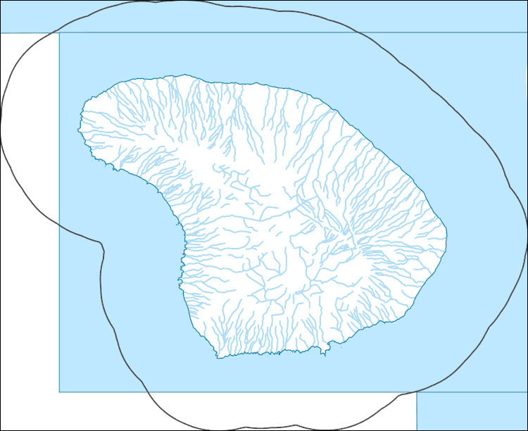
The National Hydrography Dataset (NHD) is a feature-based database that interconnects and uniquely identifies the stream segments or reaches that make up the nation's surface water drainage system. NHD data was originally developed at 1:100,000-scale and exists at that scale for the whole country. This high-resolution NHD, generally developed at 1:24,000/1:12,000 scale, adds detail to the original 1:100,000-scale NHD. (Data for Alaska, Puerto Rico and the Virgin Islands was developed at high-resolution, not 1:100,000 scale.) Local resolution NHD is being developed where partners and data exist. The NHD contains reach codes for networked features, flow direction, names, and centerline representations for areal water...
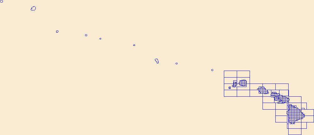
This data represents the map extent for current and historical USGS topographic maps for the United States and Territories, including 1 X 2 Degree, 1 X 1 Degree, 30 X 60 Minute, 15 X 15 Minute, 7.5 X 7.5 Minute, and 3.75 X 3.75 Minute. The grid was generated using ESRI ArcInfo GIS software.

Geospatial data includes structures and other selected map features.
Layers of geospatial data include roads, airports, trails, and railroads.

Groundwater levels have declined since the 1940s in the Wailuku area of central Maui, Hawaiʻi, on the eastern flank of West Maui volcano, mainly in response to increased groundwater withdrawals. Available data since the 1980s also indicate a thinning of the freshwater lens and an increase in chloride concentrations of pumped water from production wells. These trends, combined with projected increases in demand for groundwater in central Maui, have led to concerns over groundwater availability and have highlighted a need to improve understanding of the hydrologic effects of proposed groundwater withdrawals in the Waiheʻe, ʻĪao, and Waikapū areas of central Maui. A three-dimensional, variable-density solute-transport...
This dataset provides information on the current status and various other habitat and descriptive attributes of the native coastal vegetation for seven of the main Hawaiian Islands (i.e., does not include Ni`ihau).
Categories: Data;
Types: ArcGIS REST Map Service,
ArcGIS Service Definition,
Citation,
Downloadable,
Map Service;
Tags: Ecology,
Hawaii,
Kahoolawe,
Kauai,
Lanai,
Native and introduced forest birds were captured and then released across the Hawaiian Islands to acquire a blood sample for obtaining DNA and test for exposure to avian malaria (Plasmodium relictum). A total of 2,945 samples were collected and analyzed for avian malaria prevalence from 39 species captured at 66 sites from Kauai, Oahu, Molokai, Maui, and Hawaii islands.
Here we present surface current results from a physics-based, 3-dimensional coupled ocean-atmosphere numerical model that was generated to understand coral larval dispersal patterns in Maui Nui, Hawaii, USA. The model was used to simulate coral larval dispersal patterns from a number of existing State-managed reefs and large tracks of reefs with high coral coverage that might be good candidates for marine-protected areas (MPAs) during 8 spawning events during 2010-2013. The goal of this effort is to provide geophysical data to help provide guidance to sustain coral health in Maui Nui, Hawaii, USA. Each model output run is available as a netCDF file with self-contained attribute information. Each file name is appended...
Categories: Data;
Types: Citation,
Map Service,
NetCDF OPeNDAP Service,
OGC WFS Layer,
OGC WMS Layer,
OGC WMS Service;
Tags: CMGP,
Coastal and Marine Geology Program,
Geophysics,
Hawaii,
Kahoolawe,
Passive membrane samplers—semipermeable membrane devices and polar organic chemical integrative samplers—were deployed for 22 continuous days at 7 sites along the West Maui, Hawai'i, coastline in February and March 2017 to assess organic contaminants at shallow coral reef ecosystems from diverse upstream inputs.
Categories: Data;
Tags: CMHRP,
Coastal and Marine Hazards and Resources Program,
Environmental Health,
Geochemistry,
Honokeana,
Acoustic sampling for occurrence of the endangered Hawaiian hoary bat (Lasiurus cinereus semotus) was conducted at 18 "long-term" acoustic monitoring stations on 12 Hawaii Army National Guard (HIARNG) installations across the islands of Hawaii, Maui, Molokai, Oahu, and Kauai between 2012 and 2018. Hawaiian hoary bat insect prey sampling with paired acoustic monitoring was conducted at Keaukaha Military Reservation (KMR) on Hawaii Island from May to August, 2018. At this property, a herd of domestic goats (occasionally mixed with domestic sheep) were rotated among grazing plots as part of a weed control program managed by HIARNG. We sampled insect abundance and community within the area where goats were used for...
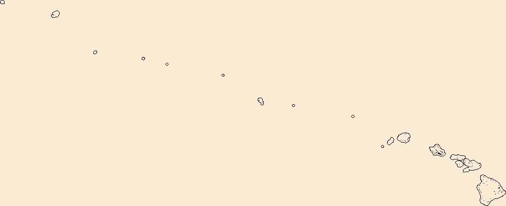
Geospatial data includes structures and other selected map features.

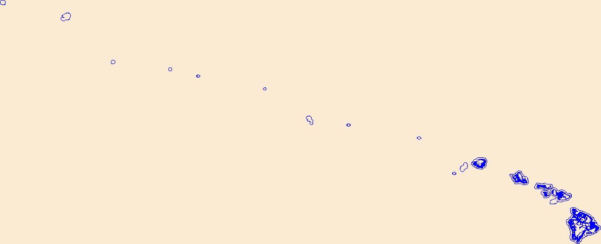
Geospatial data is comprised of government boundaries.
Geospatial data is comprised of government boundaries.
Types: Citation;
Tags: Boundaries,
County or Equivalent,
Downloadable Data,
Esri File GeoDatabase 10,
FileGDB,
This data release provides flooding extent polygons and flood depth rasters (geotiffs) based on sea-level rise and wave-driven total water levels for the coast of the most populated Hawaiian, Mariana, and American Samoan Islands. Oceanographic, coastal engineering, ecologic, and geospatial data and tools were combined to evaluate the increased risks of storm-induced coastal flooding due to climate change and sea-level rise. We followed risk-based valuation approaches to map flooding due to waves and storm surge at 10 square meter resolution along these islands’ coastlines for annual (1-year), 20-year, and 100-year return-interval storm events and +0.25 m, +0.50 m, +1.00 m, +1.50 m, +2.00 m, and +3.00 m sea-level...
Categories: Data;
Tags: CMHRP,
Climate Change,
Climatology,
Coastal Processes,
Coastal and Marine Hazards and Resources Program,
The National Hydrography Dataset (NHD) is a feature-based database that interconnects and uniquely identifies the stream segments or reaches that make up the nation's surface water drainage system. NHD data was originally developed at 1:100,000-scale and exists at that scale for the whole country. This high-resolution NHD, generally developed at 1:24,000/1:12,000 scale, adds detail to the original 1:100,000-scale NHD. (Data for Alaska, Puerto Rico and the Virgin Islands was developed at high-resolution, not 1:100,000 scale.) Local resolution NHD is being developed where partners and data exist. The NHD contains reach codes for networked features, flow direction, names, and centerline representations for areal water...
|

|
