Filters: Tags: Maui (X)
177 results (102ms)|
Filters
Date Range
Extensions
Types Contacts
Categories Tag Types
|
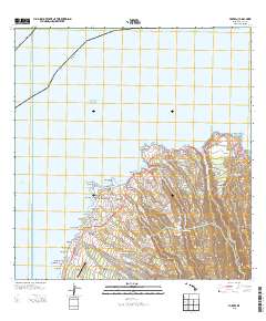
Layered GeoPDF 7.5 Minute Quadrangle Map. Layers of geospatial data include orthoimagery, roads, grids, geographic names, elevation contours, hydrography, and other selected map features.
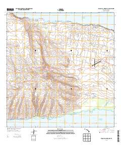
Layered GeoPDF 7.5 Minute Quadrangle Map. Layers of geospatial data include orthoimagery, roads, grids, geographic names, elevation contours, hydrography, and other selected map features.
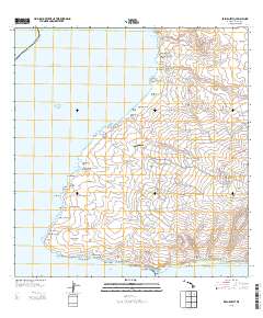
Layered GeoPDF 7.5 Minute Quadrangle Map. Layers of geospatial data include orthoimagery, roads, grids, geographic names, elevation contours, hydrography, and other selected map features.
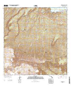
Layered GeoPDF 7.5 Minute Quadrangle Map. Layers of geospatial data include orthoimagery, roads, grids, geographic names, elevation contours, hydrography, and other selected map features.
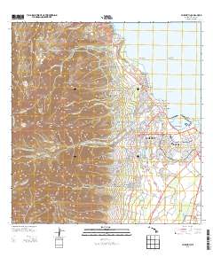
Layered GeoPDF 7.5 Minute Quadrangle Map. Layers of geospatial data include orthoimagery, roads, grids, geographic names, elevation contours, hydrography, and other selected map features.
This data release contains a comma-delimited ascii file of three same-day, discrete discharge measurements made at sites along selected reaches of Alelele Stream, Maui, Hawai'i on October 9, 2019. These discrete discharge measurements form what is commonly referred to as a “seepage run.” The intent of the seepage run is to quantify the spatial distribution of streamflow along the reach during fair-weather, low-flow conditions, generally characterized by negligible direct runoff within the reach. The measurements can be used to characterize the net seepage of water into (water gain) or out of (water loss) the stream channel between measurement sites provided that the measurements were made during stable, nonchanging...
This data release contains a comma-delimited ascii file of 25 discrete discharge measurements made at sites along selected reaches of Waikapū Stream, Maui, Hawai'i on October 16, 2018 and May 7, 2019. These discrete discharge measurements form what is commonly referred to as a “seepage run.” The intent of the seepage run is to quantify the spatial distribution of streamflow along the reach during fair-weather, low-flow conditions, generally characterized by negligible direct runoff within the reach. The measurements can be used to characterize the net seepage of water into (water gain) or out of (water loss) the stream channel between measurement sites provided that the measurements were made during stable, nonchanging...
This data release contains a comma-delimited ascii file of seven same-day, discrete discharge measurements made at sites along selected reaches of Honokōwai Stream, Maui, Hawai'i on August 11, 2022. These discrete discharge measurements form what is commonly referred to as a “seepage run.” The intent of the seepage run is to quantify the spatial distribution of streamflow along the reach during fair-weather, low-flow conditions, generally characterized by negligible direct runoff within the reach. The measurements can be used to characterize the net seepage of water into (water gain) or out of (water loss) the stream channel between measurement sites provided that the measurements were made during stable, nonchanging...
This data release contains a comma-delimited ascii file of seven same-day, discrete discharge measurements made at sites along selected reaches of Olowalu Stream, Maui, Hawai'i on May 12, 2022. These discrete discharge measurements form what is commonly referred to as a “seepage run.” The intent of the seepage run is to quantify the spatial distribution of streamflow along the reach during fair-weather, low-flow conditions, generally characterized by negligible direct runoff within the reach. The measurements can be used to characterize the net seepage of water into (water gain) or out of (water loss) the stream channel between measurement sites provided that the measurements were made during stable, nonchanging...
Layers of geospatial data include roads, airports, trails, and railroads.
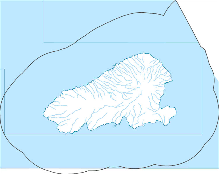
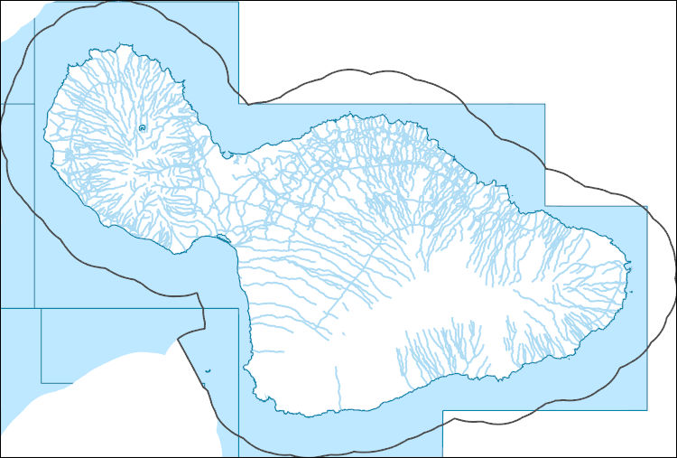
The National Hydrography Dataset (NHD) is a feature-based database that interconnects and uniquely identifies the stream segments or reaches that make up the nation's surface water drainage system. NHD data was originally developed at 1:100,000-scale and exists at that scale for the whole country. This high-resolution NHD, generally developed at 1:24,000/1:12,000 scale, adds detail to the original 1:100,000-scale NHD. (Data for Alaska, Puerto Rico and the Virgin Islands was developed at high-resolution, not 1:100,000 scale.) Local resolution NHD is being developed where partners and data exist. The NHD contains reach codes for networked features, flow direction, names, and centerline representations for areal water...

The National Hydrography Dataset (NHD) is a feature-based database that interconnects and uniquely identifies the stream segments or reaches that make up the nation's surface water drainage system. NHD data was originally developed at 1:100,000-scale and exists at that scale for the whole country. This high-resolution NHD, generally developed at 1:24,000/1:12,000 scale, adds detail to the original 1:100,000-scale NHD. (Data for Alaska, Puerto Rico and the Virgin Islands was developed at high-resolution, not 1:100,000 scale.) Local resolution NHD is being developed where partners and data exist. The NHD contains reach codes for networked features, flow direction, names, and centerline representations for areal water...
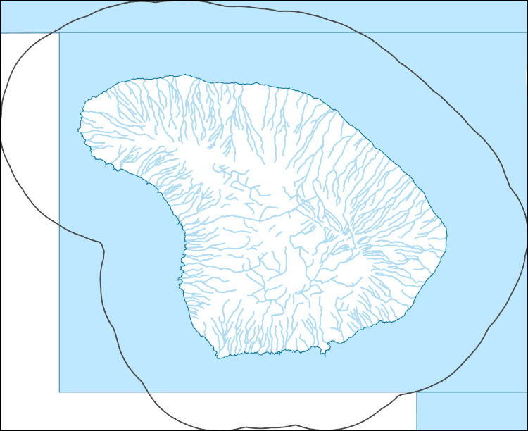
The National Hydrography Dataset (NHD) is a feature-based database that interconnects and uniquely identifies the stream segments or reaches that make up the nation's surface water drainage system. NHD data was originally developed at 1:100,000-scale and exists at that scale for the whole country. This high-resolution NHD, generally developed at 1:24,000/1:12,000 scale, adds detail to the original 1:100,000-scale NHD. (Data for Alaska, Puerto Rico and the Virgin Islands was developed at high-resolution, not 1:100,000 scale.) Local resolution NHD is being developed where partners and data exist. The NHD contains reach codes for networked features, flow direction, names, and centerline representations for areal water...
The National Hydrography Dataset (NHD) is a feature-based database that interconnects and uniquely identifies the stream segments or reaches that make up the nation's surface water drainage system. NHD data was originally developed at 1:100,000-scale and exists at that scale for the whole country. This high-resolution NHD, generally developed at 1:24,000/1:12,000 scale, adds detail to the original 1:100,000-scale NHD. (Data for Alaska, Puerto Rico and the Virgin Islands was developed at high-resolution, not 1:100,000 scale.) Local resolution NHD is being developed where partners and data exist. The NHD contains reach codes for networked features, flow direction, names, and centerline representations for areal water...
Chronology and time-series geochemistry data of a coral core collected from Olowalu, West Maui, Hawaii. The chronology is based on density banding, radiocarbon bomb-curve, and uranium thorium dating techniques. The geochemistry time-series data contains major and minor elements over the length of the coral life span, as measured from laser ablation inductively coupled mass spectrometry (LA-ICP-MS).
Non-native grass removal as part of a larger restoration strategy has been demonstrated to assist in natural recruitment of important native plant species on the island of Maui. Seedling size class data were collected to assess whether there were differences in Dodonaea viscosa seedling recruitment and survival between grass-control plots and those dominated by non-native grass in the Nakula Natural Area Reserve on Maui Island, and between grass-controlled sites.
Categories: Data;
Tags: Maui,
Maui County,
Nakula Natural Area Reserve,
non-native grass,
seedling recruitment,
Predation and habitat degradation by non-native species are principal terrestrial threats to the federally endangered Hawaiian Petrel (ʻuaʻu, Pterodroma sandwichensis) and Hawaiian Goose (nēnē, Branta sandvicensis) within Haleakalā National Park (HALE), Maui, Hawaiʻi. Since 1981, HALE has maintained a network of live-traps to control invasive mammalian predators and protect these endangered birds. To continue evaluations of trapping efficiency in HALE, we analyzed 2000 - 2014 trap events. Trap events were divided up into six event types classified into three event categories: no event, other event [bait lost, or trap triggered], or predator event [rat, cat, or mongoose caught]. Event type analysis was divided up...
Categories: Data;
Types: Map Service,
OGC WFS Layer,
OGC WMS Layer,
OGC WMS Service;
Tags: Hawaii,
Maui,
USGS Science Data Catalog (SDC),
Wildlife Biology,
biota,
Layered GeoPDF 7.5 Minute Quadrangle Map. Layers of geospatial data include orthoimagery, roads, grids, geographic names, elevation contours, hydrography, and other selected map features.
Layered GeoPDF 7.5 Minute Quadrangle Map. Layers of geospatial data include orthoimagery, roads, grids, geographic names, elevation contours, hydrography, and other selected map features.
In the expectation that global climate will change steadily in the coming decades, this research project had the goal to obtain a more detailed view of the climatic changes that Hawai’i could experience by the mid and late 21st century. Given the importance of rainfall for Hawaiian ecosystems and freshwater reserves, this project investigated past seasonal rainfall pattern and developed a statistical model to estimate future rainfall changes for the major islands. As a result of this research, high-resolution maps and data are now available that researchers can use to study potential impacts on endangered species, or use the rainfall changes as input in decision-support tools.This data product provides data files...
Categories: Data;
Tags: 21st Century,
CMIP5,
Climate Change,
Drought, Fire and Extreme Weather,
Extreme Weather,
|

|
