Filters: Tags: Maui County (X)
743 results (41ms)|
Filters
Date Range
Types Contacts
Categories Tag Types Tag Schemes
|
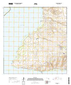
Layered geospatial PDF 7.5 Minute Quadrangle Map. Layers of geospatial data include orthoimagery, roads, grids, geographic names, elevation contours, hydrography, and other selected map features. This map is derived from GIS (geospatial information system) data. It represents a repackaging of GIS data in traditional map form, not creation of new information. The geospatial data in this map are from selected National Map data holdings and other government sources.
Types: Citation;
Tags: 7.5 x 7.5 minute,
Downloadable Data,
EarthCover,
Geospatial PDF,
Geospatial PDF,
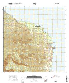
Time series data of water surface elevation, wave height, and water column currents and temperature were acquired at seven locations for 86 days off of Waiakane on the south coast of the island of Molokai, Hawaii, in support of a study on the coastal circulation patterns and the transformation of surface waves over the coral reefs. The relative placement of sensors on the reef were as follows: MKK18C01 – offshore MKK18C02 and MKK18C09 – fore reef MKK18C18 – reef crest MKK18C20 – outer reef flat MKK18C22 – middle reef flat MKK18C22 – inner reef flat
|

|
