Filters: Tags: McCall (X)
12 results (33ms)|
Filters
Date Range
Types
Contacts
Categories Tag Types
|
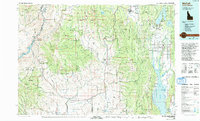
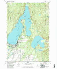
USGS Historical Quadrangle in GeoPDF.
This data set contains imagery from the National Agriculture Imagery Program (NAIP). The NAIP program is administered by USDA FSA and has been established to support two main FSA strategic goals centered on agricultural production. These are, increase stewardship of America's natural resources while enhancing the environment, and to ensure commodities are procured and distributed effectively and efficiently to increase food security. The NAIP program supports these goals by acquiring and providing ortho imagery that has been collected during the agricultural growing season in the U.S. The NAIP ortho imagery is tailored to meet FSA requirements and is a fundamental tool used to support FSA farm and conservation programs....
This data set contains imagery from the National Agriculture Imagery Program (NAIP). The NAIP program is administered by USDA FSA and has been established to support two main FSA strategic goals centered on agricultural production. These are, increase stewardship of America's natural resources while enhancing the environment, and to ensure commodities are procured and distributed effectively and efficiently to increase food security. The NAIP program supports these goals by acquiring and providing ortho imagery that has been collected during the agricultural growing season in the U.S. The NAIP ortho imagery is tailored to meet FSA requirements and is a fundamental tool used to support FSA farm and conservation programs....
This data set contains imagery from the National Agriculture Imagery Program (NAIP). The NAIP program is administered by USDA FSA and has been established to support two main FSA strategic goals centered on agricultural production. These are, increase stewardship of America's natural resources while enhancing the environment, and to ensure commodities are procured and distributed effectively and efficiently to increase food security. The NAIP program supports these goals by acquiring and providing ortho imagery that has been collected during the agricultural growing season in the U.S. The NAIP ortho imagery is tailored to meet FSA requirements and is a fundamental tool used to support FSA farm and conservation programs....
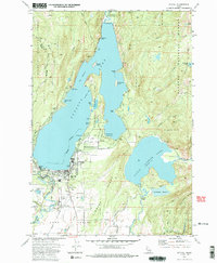
USGS Historical Quadrangle in GeoPDF.
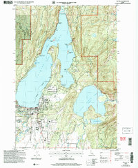
USGS Historical Quadrangle in GeoPDF.
This data set contains imagery from the National Agriculture Imagery Program (NAIP). The NAIP program is administered by USDA FSA and has been established to support two main FSA strategic goals centered on agricultural production. These are, increase stewardship of America's natural resources while enhancing the environment, and to ensure commodities are procured and distributed effectively and efficiently to increase food security. The NAIP program supports these goals by acquiring and providing ortho imagery that has been collected during the agricultural growing season in the U.S. The NAIP ortho imagery is tailored to meet FSA requirements and is a fundamental tool used to support FSA farm and conservation programs....
Snow and meteorological observations were collected over a range of water years (WY) by three research institutions and by citizen scientists to characterize forest effects on snow processes across the Pacific Northwest, USA. Fourteen total study sites cover the western slopes and crest of the Cascade Range in WA and OR, and central and northern ID. Each study location includes one or more paired forest and open area in which to compare snow observations. A range of forest canopy densities and data collection strategies are represented, including paired manual snow courses, snow pits, automated sensors, and time-lapse images of snow measurement poles. Analysis and synthesis of all of these sites are presented in...
Categories: Data;
Types: Citation,
Downloadable,
Map Service,
OGC WFS Layer,
OGC WMS Layer,
OGC WMS Service;
Tags: Cle Elum,
Data Visualization & Tools,
Forests,
Idaho,
Kittatas County,
Results of a citizen science effort in which students and instructors at the McCall Outdoor Science School (MOSS) collected snow observations every 1-4 weeks at their field site within Ponderosa State Park (elevation 1540 m), adjacent to Payette Lake, ID. Students documented snow cover within forested versus open areas at each site via photographs and estimates of the continuity of snow cover. Additionally, snow depth and density were measured via snow pits in the forest and the open. Data were entered via a Google Form, and the results recorded in this table. Site Data Citation for full description of the field campaign and sites. Field photographs are archived along with these data, sorted by site name, with timestamp...
Categories: Data;
Types: Citation,
Map Service,
OGC WFS Layer,
OGC WMS Layer,
OGC WMS Service;
Tags: Data Visualization & Tools,
Forests,
Idaho,
Landscapes,
McCall,

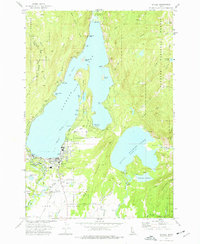
USGS Historical Quadrangle in GeoPDF.
USGS Historical Quadrangle in GeoPDF.
USGS Historical Quadrangle in GeoPDF.
|

|
