Filters: Tags: Mesa County (X)
340 results (30ms)|
Filters
Contacts
(Less)
|
COLORADO RIVER NEAR COLORADO-UTAH STATE LINE
COLORADO RIVER NEAR COLORADO-UTAH STATE LINE
The vegetation units on this map were determined through a series of image processing steps including unsupervised classification, ecological modeling and stereoscopic interpretation of aerial photographs supported by field sampling and ecological analysis. The vegetation boundaries were identified on the photographs by means of the photographic signature and collateral information on slope, hydrology, geography, and vegetation in accordance with the Standardized National Vegetation Classification System (October 1995). The mapped vegetation reflects conditions that existed during the specific year and season that the aerial photographs were taken. There is a margin of error inherent in the use of aerial photographs....
This dataset consists of 102 magnetotelluric (MT) stations collected in 2012-2014 in the Rio Grande Rift and southern Rocky Mountains. The U.S. Geological Survey acquired these data to improve regional conductivity models of the western United States. This work is in support of studies of the effect of lithospheric modification on electrical resistivity structure and tectonic evolution of the western United States.
Categories: Data;
Types: Citation,
Map Service,
OGC WFS Layer,
OGC WMS Layer,
OGC WMS Service;
Tags: Carson National Forest,
Colfax County,
Colorado,
Colorado Plateau,
Dona Ana County,
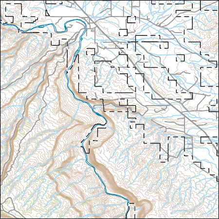
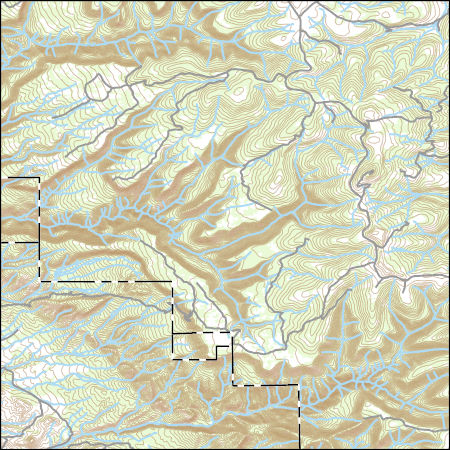
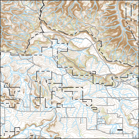
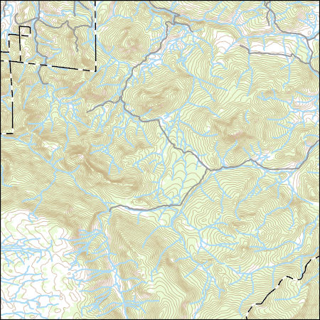
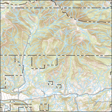
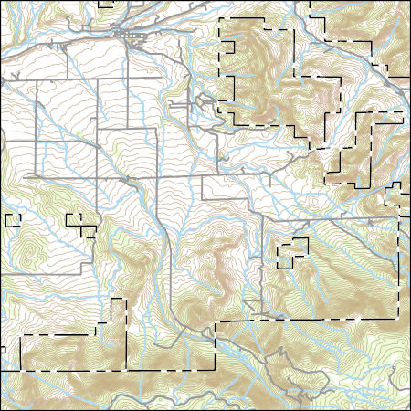
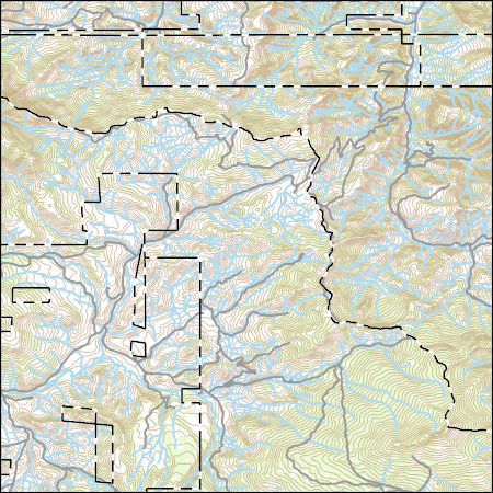
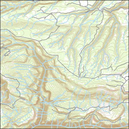
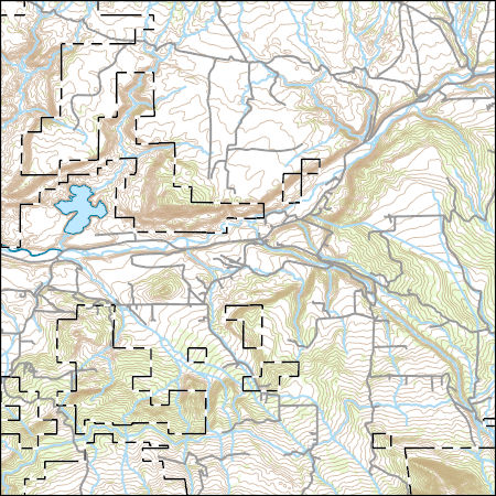
Layers of geospatial data include contours, boundaries, land cover, hydrography, roads, transportation, geographic names, structures, and other selected map features.
Layers of geospatial data include contours, boundaries, land cover, hydrography, roads, transportation, geographic names, structures, and other selected map features.
Layers of geospatial data include contours, boundaries, land cover, hydrography, roads, transportation, geographic names, structures, and other selected map features.
Layers of geospatial data include contours, boundaries, land cover, hydrography, roads, transportation, geographic names, structures, and other selected map features.
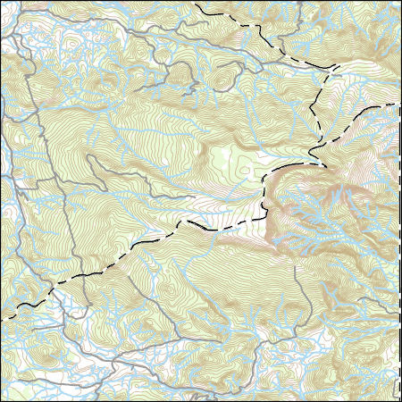
Layers of geospatial data include contours, boundaries, land cover, hydrography, roads, transportation, geographic names, structures, and other selected map features.
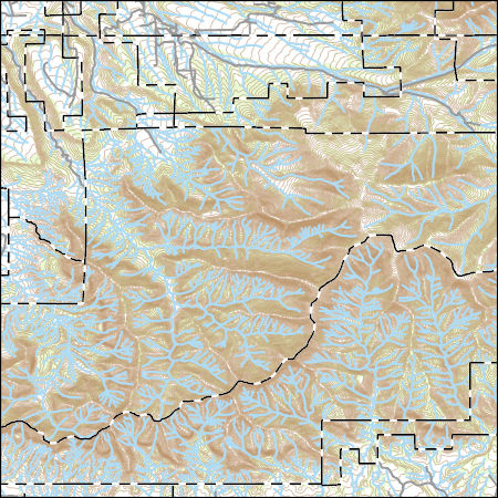
Layers of geospatial data include contours, boundaries, land cover, hydrography, roads, transportation, geographic names, structures, and other selected map features.
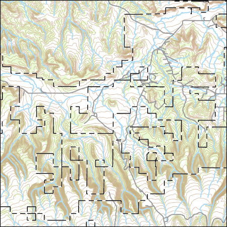
Layers of geospatial data include contours, boundaries, land cover, hydrography, roads, transportation, geographic names, structures, and other selected map features.

Layers of geospatial data include contours, boundaries, land cover, hydrography, roads, transportation, geographic names, structures, and other selected map features.
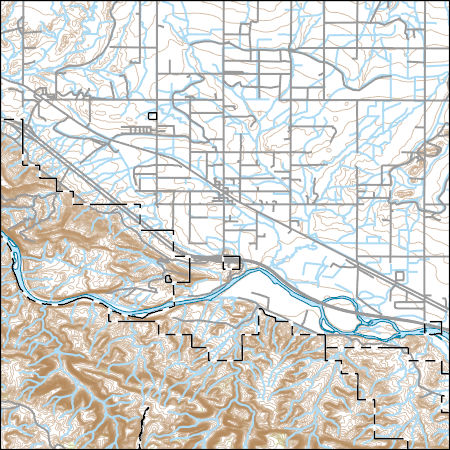
Layers of geospatial data include contours, boundaries, land cover, hydrography, roads, transportation, geographic names, structures, and other selected map features.
Layers of geospatial data include contours, boundaries, land cover, hydrography, roads, transportation, geographic names, structures, and other selected map features.
Layers of geospatial data include contours, boundaries, land cover, hydrography, roads, transportation, geographic names, structures, and other selected map features.
Layers of geospatial data include contours, boundaries, land cover, hydrography, roads, transportation, geographic names, structures, and other selected map features.
Layers of geospatial data include contours, boundaries, land cover, hydrography, roads, transportation, geographic names, structures, and other selected map features.
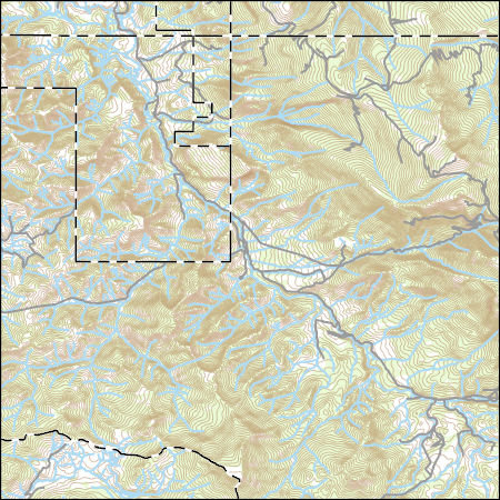
Layers of geospatial data include contours, boundaries, land cover, hydrography, roads, transportation, geographic names, structures, and other selected map features.
USGS Topo Map Vector Data (Vector) 29788 Molina, Colorado 20220512 for 7.5 x 7.5 minute FileGDB 10.1
Layers of geospatial data include contours, boundaries, land cover, hydrography, roads, transportation, geographic names, structures, and other selected map features.
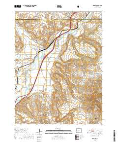
Layered geospatial PDF 7.5 Minute Quadrangle Map. Layers of geospatial data include orthoimagery, roads, grids, geographic names, elevation contours, hydrography, and other selected map features. This map is derived from GIS (geospatial information system) data. It represents a repackaging of GIS data in traditional map form, not creation of new information. The geospatial data in this map are from selected National Map data holdings and other government sources.
|

|
