Filters: Tags: Mesquite Bay (X)
9 results (10ms)|
Filters
Date Range
Extensions Types Contacts
Categories Tag Types
|
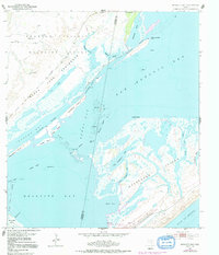
USGS Historical Quadrangle in GeoPDF.
This data set contains imagery from the National Agriculture Imagery Program (NAIP). The NAIP program is administered by USDA FSA and has been established to support two main FSA strategic goals centered on agricultural production. These are increase stewardship of America's natural resources while enhancing the environment, and to ensure commodities are procured and distributed effectively and efficiently to increase food security. The NAIP program supports these goals by acquiring and providing ortho imagery that has been collected during the agricultural growing season in the U.S. The NAIP ortho imagery is tailored to meet FSA requirements and is a fundamental tool used to support FSA farm and conservation programs....
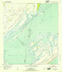
1985 Gulf of Mexico Atlas abstract American oyster Crassostrea virginica Ostion americanoDescription Range: The American oyster, a bivalve mollusc of the family Ostreidae, is found in the western Atlantic from the Gulf of St. Lawrence to the Yucatan Peninsula. In the Gulf, this species occurs throughout estuaries, shallow nearshore waters, and on reefs located near river mouths. Habitat: Large populations of this benthic invertebrate are found in the large estuarine bays and sounds of the Gulf (with most concentrations found within 10-meter depths). Sedentary in character, this invertebrate attaches in clusters to shell reefs, firm mud/shell bottoms and other hard substrates. Feeding and Behavior: The American oyster...
Categories: Data;
Types: Downloadable,
Map Service,
OGC WFS Layer,
OGC WMS Layer,
Shapefile;
Tags: ANIMALS/INVERTEBRATES,
ANIMALS/INVERTEBRATES,
Academics & scientific researchers,
Alabama,
American oyster,
This data set contains imagery from the National Agriculture Imagery Program (NAIP). The NAIP program is administered by USDA FSA and has been established to support two main FSA strategic goals centered on agricultural production. These are increase stewardship of America's natural resources while enhancing the environment, and to ensure commodities are procured and distributed effectively and efficiently to increase food security. The NAIP program supports these goals by acquiring and providing ortho imagery that has been collected during the agricultural growing season in the U.S. The NAIP ortho imagery is tailored to meet FSA requirements and is a fundamental tool used to support FSA farm and conservation programs....
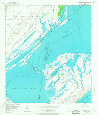
USGS Historical Quadrangle in GeoPDF.
This data set contains imagery from the National Agriculture Imagery Program (NAIP). The NAIP program is administered by USDA FSA and has been established to support two main FSA strategic goals centered on agricultural production. These are increase stewardship of America's natural resources while enhancing the environment, and to ensure commodities are procured and distributed effectively and efficiently to increase food security. The NAIP program supports these goals by acquiring and providing ortho imagery that has been collected during the agricultural growing season in the U.S. The NAIP ortho imagery is tailored to meet FSA requirements and is a fundamental tool used to support FSA farm and conservation programs....
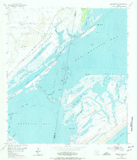
USGS Historical Quadrangle in GeoPDF.
|

|
