Filters: Tags: Moberly (X)
32 results (1.4s)|
Filters
Date Range
Types Contacts
Tag Types Tag Schemes |
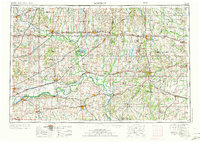
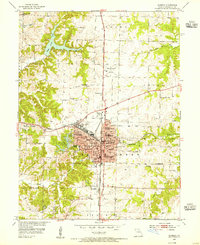
USGS Historical Quadrangle in GeoPDF.
Collection of bathymetric data in September 2018 at Sugar Creek Lake near Moberly, Missouri, used a marine-based mobile mapping unit that operates with several components: a multibeam echosounder (MBES) unit, an inertial navigation system (INS), and a data acquisition computer. Bathymetric data was collected using the MBES unit in longitudinal transects to provide complete coverage of the lake. The MBES was tilted in some areas to improve data collection along the shoreline, in coves, and in areas that are shallower than 2.5 meters deep (the practical limit of reasonable and safe data collection with the MBES). The resulting bathymetric dataset was processed using filters in the HYPACK/HYSWEEP software (http://www.hypack.com)...
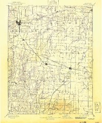
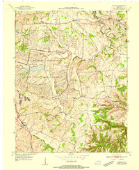
USGS Historical Quadrangle in GeoPDF.

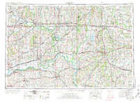
USGS Historical Quadrangle in GeoPDF.

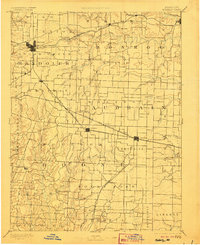
USGS Historical Quadrangle in GeoPDF.
This data set contains imagery from the National Agriculture Imagery Program (NAIP). The NAIP program is administered by USDA FSA and has been established to support two main FSA strategic goals centered on agricultural production. These are increase stewardship of America's natural resources while enhancing the environment, and to ensure commodities are procured and distributed effectively and efficiently to increase food security. The NAIP program supports these goals by acquiring and providing ortho imagery that has been collected during the agricultural growing season in the U.S. The NAIP ortho imagery is tailored to meet FSA requirements and is a fundamental tool used to support FSA farm and conservation programs....
This data set contains imagery from the National Agriculture Imagery Program (NAIP). The NAIP program is administered by USDA FSA and has been established to support two main FSA strategic goals centered on agricultural production. These are, increase stewardship of America's natural resources while enhancing the environment, and to ensure commodities are procured and distributed effectively and efficiently to increase food security. The NAIP program supports these goals by acquiring and providing ortho imagery that has been collected during the agricultural growing season in the U.S. The NAIP ortho imagery is tailored to meet FSA requirements and is a fundamental tool used to support FSA farm and conservation programs....
This data set contains imagery from the National Agriculture Imagery Program (NAIP). The NAIP program is administered by USDA FSA and has been established to support two main FSA strategic goals centered on agricultural production. These are, increase stewardship of America's natural resources while enhancing the environment, and to ensure commodities are procured and distributed effectively and efficiently to increase food security. The NAIP program supports these goals by acquiring and providing ortho imagery that has been collected during the agricultural growing season in the U.S. The NAIP ortho imagery is tailored to meet FSA requirements and is a fundamental tool used to support FSA farm and conservation programs....
USGS Historical Quadrangle in GeoPDF.
USGS Historical Quadrangle in GeoPDF.
USGS Historical Quadrangle in GeoPDF.
USGS Historical Quadrangle in GeoPDF.
|

|
