Filters
Date Range
Contacts
Tag Types
Tag Schemes
|

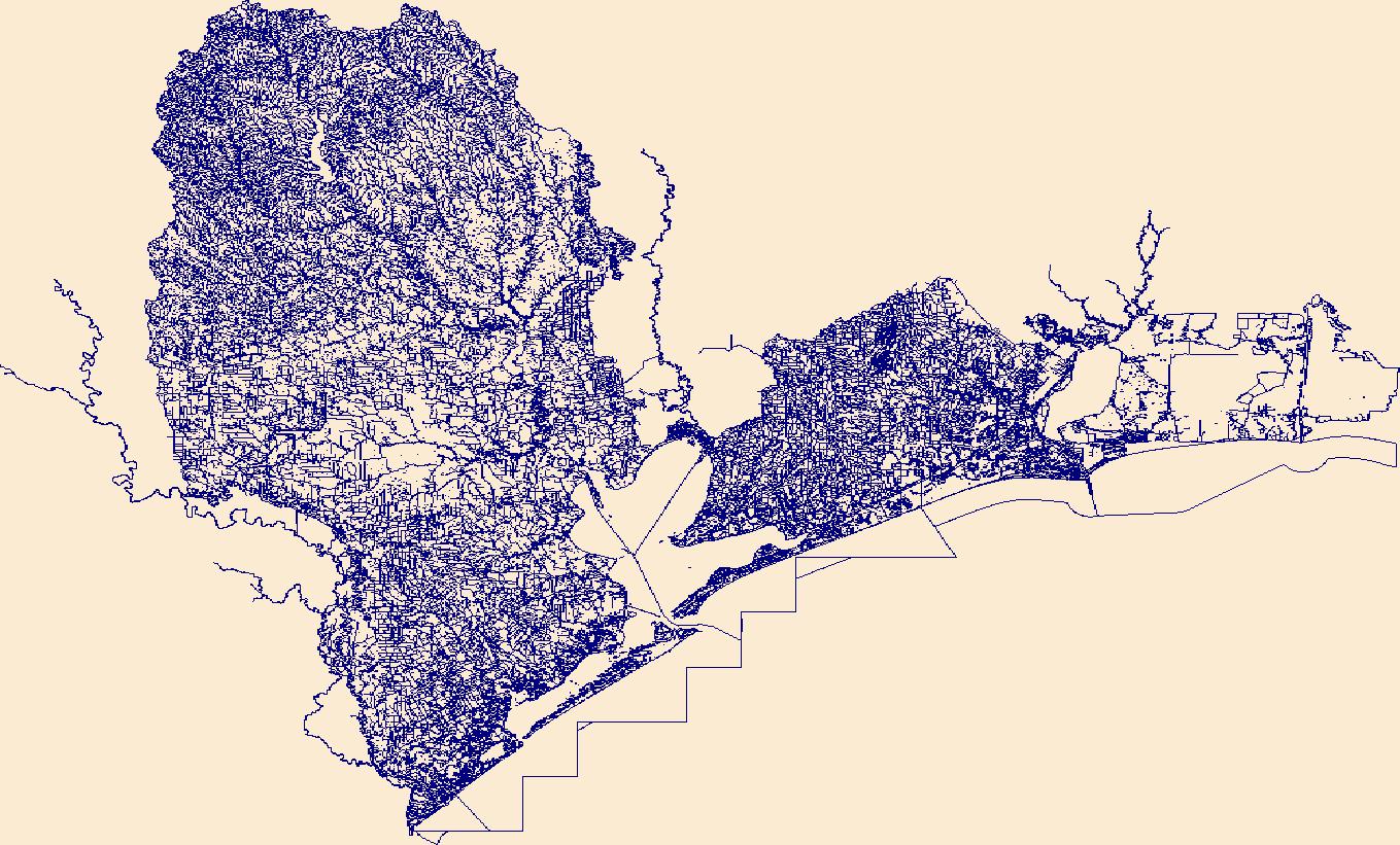
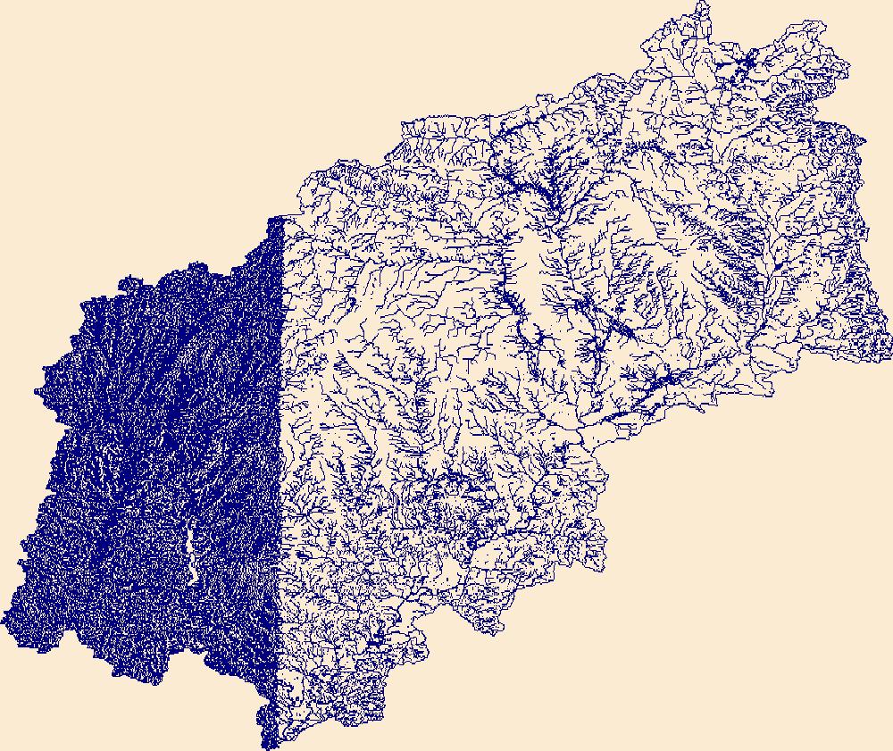
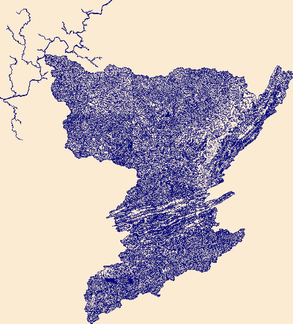
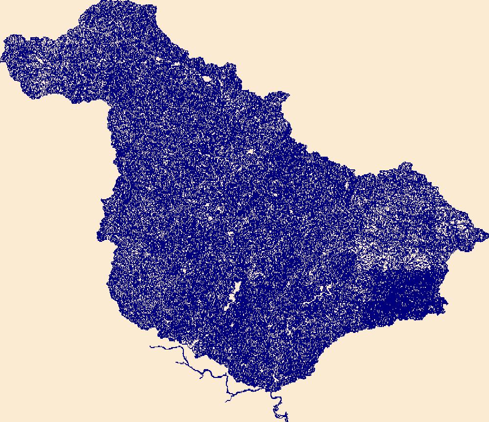
The High Resolution National Hydrography Dataset Plus (NHDPlus HR) is an integrated set of geospatial data layers, including the National Hydrography Dataset (NHD), National Watershed Boundary Dataset (WBD), and 3D Elevation Program Digital Elevation Model (3DEP DEM). The NHDPlus HR combines the NHD, 3DEP DEMs, and WBD to a data suite that includes the NHD stream network with linear referencing functionality, the WBD hydrologic units, elevation-derived catchment areas for each stream segment, "value added attributes" (VAAs), and other features that enhance hydrologic data analysis and routing.
Tags: 4-digit hydrologic unit,
Accomack County,
Albemarle County,
Alleghany County,
Amelia County, All tags...
Amherst County,
Appomattox County,
Augusta County,
Bath County,
Bedford County,
Botetourt County,
Buckingham County,
Buena Vista County,
Campbell County,
Caroline County,
Charles City County,
Charlotte County,
Charlottesville County,
Chesapeake County,
Chesterfield County,
Colonial Heights County,
Covington County,
Craig County,
Culpeper County,
Cumberland County,
DE,
Delaware,
Dinwiddie County,
Dorchester County,
Downloadable Data,
Essex County,
Fauquier County,
FileGDB,
Fluvanna County,
Fredericksburg County,
Giles County,
Gloucester County,
Goochland County,
Greenbrier County,
Greene County,
HU-4 Subregion,
HU4,
HU4_0208,
Hampton County,
Hanover County,
Henrico County,
Highland County,
Hopewell County,
Hydrography,
Isle of Wight County,
James City County,
Kent County,
King George County,
King William County,
King and Queen County,
Lancaster County,
Lexington County,
Louisa County,
Lunenburg County,
Lynchburg County,
MD,
Madison County,
Maryland,
Mathews County,
Middlesex County,
Monroe County,
Montgomery County,
NHDPlus HR Rasters,
NHDPlus High Resolution (NHDPlus HR),
National Hydrography Dataset (NHD),
National Hydrography Dataset Plus High Resolution (NHDPlus HR),
National Hydrography Dataset Plus High Resolution (NHDPlus HR) Current,
Nelson County,
New Kent County,
Newport News County,
Norfolk County,
Northampton County,
Northumberland County,
Nottoway County,
Orange County,
Page County,
Pendleton County,
Petersburg County,
Pocahontas County,
Poquoson County,
Portsmouth County,
Powhatan County,
Prince Edward County,
Prince George County,
Rappahannock County,
Richmond County,
Roanoke County,
Rockbridge County,
Rockingham County,
Somerset County,
Spotsylvania County,
St. Mary's County,
Stafford County,
Suffolk County,
Surry County,
Sussex County,
US,
United States,
VA,
Virginia,
Virginia Beach County,
WV,
Warren County,
West Virginia,
Westmoreland County,
Wicomico County,
Williamsburg County,
Worcester County,
York County,
base maps,
cartography,
catchments,
channels,
digital elevation models,
drainage basins,
earthsciences,
environment,
geographic information systems,
geoscientificInformation,
geospatial analysis,
hydrographic datasets,
hydrographic features,
hydrology,
inlandWaters,
lakes,
land surface characteristics,
reservoirs,
river reaches,
rivers,
streamflow,
streamflow data,
streams,
surface water quality,
topography,
water resources,
waterbodies,
watersheds, Fewer tags

The High Resolution National Hydrography Dataset Plus (NHDPlus HR) is an integrated set of geospatial data layers, including the best available National Hydrography Dataset (NHD), the 10-meter 3D Elevation Program Digital Elevation Model (3DEP DEM), and the National Watershed Boundary Dataset (WBD). The NHDPlus HR combines the NHD, 3DEP DEMs, and WBD to create a stream network with linear referencing, feature naming, "value added attributes" (VAAs), elevation-derived catchments, and other features for hydrologic data analysis. The stream network with linear referencing is a system of data relationships applied to hydrographic systems so that one stream reach "flows" into another and "events" can be tied to and traced...
Tags: Adams County,
Amite County,
Attala County,
Carroll County,
Choctaw County, All tags...
Claiborne County,
Concordia County,
Copiah County,
Downloadable Data,
FileGDB,
FileGDB 10.1,
Franklin County,
HU-4 Subregion,
HU-4 Subregion,
HU4_0806,
Hinds County,
Holmes County,
Hydrography,
Jefferson County,
LA,
Leake County,
Lincoln County,
Louisiana,
MS,
Madison County,
Madison County,
Mississippi,
Montgomery County,
NHDPlus HR Rasters,
NHDPlus High Resolution (NHDPlus HR),
National Hydrography Dataset (NHD),
National Hydrography Dataset Plus High Resolution (NHDPlus HR),
National Hydrography Dataset Plus High Resolution (NHDPlus HR) Current,
Oktibbeha County,
Tensas County,
US,
United States,
Warren County,
Webster County,
West Feliciana County,
Wilkinson County,
Yazoo County,
base maps,
cartography,
catchments,
channels,
digital elevation models,
drainage basins,
earth sciences,
elevation,
environment,
geographic information systems,
geoscientific,
geospatial analysis,
hydrographic datasets,
hydrographic features,
hydrology,
imagery,
inland waters,
lakes,
land surface characteristics,
reservoirs,
river reaches,
rivers,
streamflow,
streamflow data,
streams,
topography,
water bodies,
water quality,
water resources,
watersheds, Fewer tags

The High Resolution National Hydrography Dataset Plus (NHDPlus HR) is an integrated set of geospatial data layers, including the National Hydrography Dataset (NHD), National Watershed Boundary Dataset (WBD), and 3D Elevation Program Digital Elevation Model (3DEP DEM). The NHDPlus HR combines the NHD, 3DEP DEMs, and WBD to a data suite that includes the NHD stream network with linear referencing functionality, the WBD hydrologic units, elevation-derived catchment areas for each stream segment, "value added attributes" (VAAs), and other features that enhance hydrologic data analysis and routing.
Tags: 4-digit hydrologic unit,
Accomack County,
Adams County,
Albemarle County,
Alexandria County, All tags...
Allegany County,
Arlington County,
Augusta County,
Bedford County,
Berkeley County,
Carroll County,
Charles County,
Clarke County,
Cumberland County,
DC,
District of Columbia,
District of Columbia County,
Downloadable Data,
Fairfax County,
Falls Church County,
Fauquier County,
FileGDB,
Franklin County,
Frederick County,
Fulton County,
Garrett County,
Grant County,
Greene County,
HU-4 Subregion,
HU4,
HU4_0207,
Hampshire County,
Hardy County,
Harrisonburg County,
Highland County,
Huntingdon County,
Hydrography,
Jefferson County,
King George County,
Loudoun County,
MD,
Madison County,
Manassas County,
Manassas Park County,
Maryland,
Mineral County,
Montgomery County,
Morgan County,
NHDPlus HR Rasters,
NHDPlus High Resolution (NHDPlus HR),
National Hydrography Dataset (NHD),
National Hydrography Dataset Plus High Resolution (NHDPlus HR),
National Hydrography Dataset Plus High Resolution (NHDPlus HR) Current,
Nelson County,
Northumberland County,
PA,
Page County,
Pendleton County,
Pennsylvania,
Perry County,
Pocahontas County,
Preston County,
Prince George's County,
Prince William County,
Randolph County,
Rappahannock County,
Richmond County,
Rockingham County,
Shenandoah County,
Somerset County,
St. Mary's County,
Stafford County,
Staunton County,
Tucker County,
US,
United States,
VA,
Virginia,
WV,
Warren County,
Washington County,
Waynesboro County,
West Virginia,
Westmoreland County,
Winchester County,
base maps,
cartography,
catchments,
channels,
digital elevation models,
drainage basins,
earthsciences,
environment,
geographic information systems,
geoscientificInformation,
geospatial analysis,
hydrographic datasets,
hydrographic features,
hydrology,
inlandWaters,
lakes,
land surface characteristics,
reservoirs,
river reaches,
rivers,
streamflow,
streamflow data,
streams,
surface water quality,
topography,
water resources,
waterbodies,
watersheds, Fewer tags
The High Resolution National Hydrography Dataset Plus (NHDPlus HR) is an integrated set of geospatial data layers, including the best available National Hydrography Dataset (NHD), the 10-meter 3D Elevation Program Digital Elevation Model (3DEP DEM), and the National Watershed Boundary Dataset (WBD). The NHDPlus HR combines the NHD, 3DEP DEMs, and WBD to create a stream network with linear referencing, feature naming, "value added attributes" (VAAs), elevation-derived catchments, and other features for hydrologic data analysis. The stream network with linear referencing is a system of data relationships applied to hydrographic systems so that one stream reach "flows" into another and "events" can be tied to and traced...
Tags: Brazoria County,
Cameron County,
Chambers County,
Downloadable Data,
FileGDB, All tags...
FileGDB 10.1,
Fort Bend County,
Galveston County,
Grimes County,
HU-4 Subregion,
HU-4 Subregion,
HU4_1204,
Harris County,
Hydrography,
Jefferson County,
LA,
Liberty County,
Louisiana,
Montgomery County,
NHDPlus HR Rasters,
NHDPlus High Resolution (NHDPlus HR),
National Hydrography Dataset (NHD),
National Hydrography Dataset Plus High Resolution (NHDPlus HR),
National Hydrography Dataset Plus High Resolution (NHDPlus HR) Current,
Orange County,
San Jacinto County,
TX,
Texas,
US,
United States,
Walker County,
Waller County,
base maps,
cartography,
catchments,
channels,
digital elevation models,
drainage basins,
earth sciences,
elevation,
environment,
geographic information systems,
geoscientific,
geospatial analysis,
hydrographic datasets,
hydrographic features,
hydrology,
imagery,
inland waters,
lakes,
land surface characteristics,
reservoirs,
river reaches,
rivers,
streamflow,
streamflow data,
streams,
topography,
water bodies,
water quality,
water resources,
watersheds, Fewer tags

The High Resolution National Hydrography Dataset Plus (NHDPlus HR) is an integrated set of geospatial data layers, including the best available National Hydrography Dataset (NHD), the 10-meter 3D Elevation Program Digital Elevation Model (3DEP DEM), and the National Watershed Boundary Dataset (WBD). The NHDPlus HR combines the NHD, 3DEP DEMs, and WBD to create a stream network with linear referencing, feature naming, "value added attributes" (VAAs), elevation-derived catchments, and other features for hydrologic data analysis. The stream network with linear referencing is a system of data relationships applied to hydrographic systems so that one stream reach "flows" into another and "events" can be tied to and traced...
Tags: Alexander County,
Ballard County,
Bollinger County,
Bond County,
Cape Girardeau County, All tags...
Champaign County,
Christian County,
Clinton County,
Coles County,
Crawford County,
Dent County,
Douglas County,
Downloadable Data,
Effingham County,
Fayette County,
FileGDB,
FileGDB 10.1,
Franklin County,
Franklin County,
Gasconade County,
HU-4 Subregion,
HU-4 Subregion,
HU4_0714,
Hamilton County,
Hydrography,
IL,
Illinois,
Iron County,
Jackson County,
Jefferson County,
Jefferson County,
Johnson County,
KY,
Kentucky,
MO,
Macon County,
Macoupin County,
Madison County,
Madison County,
Maries County,
Marion County,
Mississippi County,
Missouri,
Monroe County,
Montgomery County,
Moultrie County,
NHDPlus HR Rasters,
NHDPlus High Resolution (NHDPlus HR),
National Hydrography Dataset (NHD),
National Hydrography Dataset Plus High Resolution (NHDPlus HR),
National Hydrography Dataset Plus High Resolution (NHDPlus HR) Current,
Osage County,
Perry County,
Perry County,
Phelps County,
Piatt County,
Pulaski County,
Randolph County,
Reynolds County,
Scott County,
Shelby County,
St. Clair County,
St. Francois County,
St. Louis County,
St. Louis County,
Ste. Genevieve County,
Texas County,
US,
Union County,
United States,
Washington County,
Washington County,
Wayne County,
Williamson County,
base maps,
cartography,
catchments,
channels,
digital elevation models,
drainage basins,
earth sciences,
elevation,
environment,
geographic information systems,
geoscientific,
geospatial analysis,
hydrographic datasets,
hydrographic features,
hydrology,
imagery,
inland waters,
lakes,
land surface characteristics,
reservoirs,
river reaches,
rivers,
streamflow,
streamflow data,
streams,
topography,
water bodies,
water quality,
water resources,
watersheds, Fewer tags

The High Resolution National Hydrography Dataset Plus (NHDPlus HR) is an integrated set of geospatial data layers, including the National Hydrography Dataset (NHD), National Watershed Boundary Dataset (WBD), and 3D Elevation Program Digital Elevation Model (3DEP DEM). The NHDPlus HR combines the NHD, 3DEP DEMs, and WBD to a data suite that includes the NHD stream network with linear referencing functionality, the WBD hydrologic units, elevation-derived catchment areas for each stream segment, "value added attributes" (VAAs), and other features that enhance hydrologic data analysis and routing.
Tags: 4-digit hydrologic unit,
Accomack County,
Atlantic County,
Berks County,
Broome County, All tags...
Bucks County,
Burlington County,
Camden County,
Cape May County,
Carbon County,
Cecil County,
Chenango County,
Chester County,
Cumberland County,
DE,
Delaware,
Delaware County,
Downloadable Data,
FileGDB,
Gloucester County,
Greene County,
HU-4 Subregion,
HU4,
HU4_0204,
Hunterdon County,
Hydrography,
Kent County,
Lackawanna County,
Lancaster County,
Lebanon County,
Lehigh County,
Luzerne County,
MD,
Maryland,
Mercer County,
Monmouth County,
Monroe County,
Montgomery County,
Morris County,
NHDPlus HR Rasters,
NHDPlus High Resolution (NHDPlus HR),
NJ,
NY,
National Hydrography Dataset (NHD),
National Hydrography Dataset Plus High Resolution (NHDPlus HR),
National Hydrography Dataset Plus High Resolution (NHDPlus HR) Current,
New Castle County,
New Jersey,
New York,
Northampton County,
Ocean County,
Orange County,
PA,
Pennsylvania,
Philadelphia County,
Pike County,
Queens County,
Salem County,
Schoharie County,
Schuylkill County,
Sullivan County,
Sussex County,
US,
Ulster County,
United States,
VA,
Virginia,
Virginia Beach County,
Warren County,
Wayne County,
Worcester County,
base maps,
cartography,
catchments,
channels,
digital elevation models,
drainage basins,
earthsciences,
environment,
geographic information systems,
geoscientificInformation,
geospatial analysis,
hydrographic datasets,
hydrographic features,
hydrology,
inlandWaters,
lakes,
land surface characteristics,
reservoirs,
river reaches,
rivers,
streamflow,
streamflow data,
streams,
surface water quality,
topography,
water resources,
waterbodies,
watersheds, Fewer tags

The High Resolution National Hydrography Dataset Plus (NHDPlus HR) is an integrated set of geospatial data layers, including the best available National Hydrography Dataset (NHD), the 10-meter 3D Elevation Program Digital Elevation Model (3DEP DEM), and the National Watershed Boundary Dataset (WBD). The NHDPlus HR combines the NHD, 3DEP DEMs, and WBD to create a stream network with linear referencing, feature naming, "value added attributes" (VAAs), elevation-derived catchments, and other features for hydrologic data analysis. The stream network with linear referencing is a system of data relationships applied to hydrographic systems so that one stream reach "flows" into another and "events" can be tied to and traced...
Tags: Appling County,
Atkinson County,
Bacon County,
Baker County,
Baldwin County, All tags...
Banks County,
Barrow County,
Ben Hill County,
Bibb County,
Bleckley County,
Brantley County,
Butts County,
Camden County,
Candler County,
Charlton County,
Clarke County,
Clayton County,
Clinch County,
Coffee County,
Columbia County,
Crawford County,
DeKalb County,
Dodge County,
Dooly County,
Downloadable Data,
Duval County,
Emanuel County,
Evans County,
FL,
FileGDB,
FileGDB 10.1,
Florida,
Fulton County,
GA,
Georgia,
Glynn County,
Greene County,
Gwinnett County,
HU-4 Subregion,
HU-4 Subregion,
HU4_0307,
Hall County,
Hancock County,
Henry County,
Houston County,
Hydrography,
Irwin County,
Jackson County,
Jasper County,
Jeff Davis County,
Jefferson County,
Johnson County,
Jones County,
Lamar County,
Laurens County,
Liberty County,
Long County,
Macon County,
Madison County,
McIntosh County,
Monroe County,
Montgomery County,
Morgan County,
NHDPlus HR Rasters,
NHDPlus High Resolution (NHDPlus HR),
Nassau County,
National Hydrography Dataset (NHD),
National Hydrography Dataset Plus High Resolution (NHDPlus HR),
National Hydrography Dataset Plus High Resolution (NHDPlus HR) Current,
Newton County,
Oconee County,
Oglethorpe County,
Peach County,
Pierce County,
Pulaski County,
Putnam County,
Rockdale County,
Spalding County,
Taliaferro County,
Tattnall County,
Telfair County,
Toombs County,
Treutlen County,
Twiggs County,
US,
Union County,
United States,
Upson County,
Walton County,
Ware County,
Washington County,
Wayne County,
Wheeler County,
Wilcox County,
Wilkinson County,
base maps,
cartography,
catchments,
channels,
digital elevation models,
drainage basins,
earth sciences,
elevation,
environment,
geographic information systems,
geoscientific,
geospatial analysis,
hydrographic datasets,
hydrographic features,
hydrology,
imagery,
inland waters,
lakes,
land surface characteristics,
reservoirs,
river reaches,
rivers,
streamflow,
streamflow data,
streams,
topography,
water bodies,
water quality,
water resources,
watersheds, Fewer tags
The High Resolution National Hydrography Dataset Plus (NHDPlus HR) is an integrated set of geospatial data layers, including the best available National Hydrography Dataset (NHD), the 10-meter 3D Elevation Program Digital Elevation Model (3DEP DEM), and the National Watershed Boundary Dataset (WBD). The NHDPlus HR combines the NHD, 3DEP DEMs, and WBD to create a stream network with linear referencing, feature naming, "value added attributes" (VAAs), elevation-derived catchments, and other features for hydrologic data analysis. The stream network with linear referencing is a system of data relationships applied to hydrographic systems so that one stream reach "flows" into another and "events" can be tied to and traced...
Tags: Auglaize County,
Butler County,
Champaign County,
Clark County,
Darke County, All tags...
Dearborn County,
Decatur County,
Downloadable Data,
Fayette County,
FileGDB,
FileGDB 10.1,
Franklin County,
Greene County,
HU-4 Subregion,
HU-4 Subregion,
HU4_0508,
Hamilton County,
Hardin County,
Henry County,
Hydrography,
IN,
Indiana,
Logan County,
Mercer County,
Miami County,
Montgomery County,
NHDPlus HR Rasters,
NHDPlus High Resolution (NHDPlus HR),
National Hydrography Dataset (NHD),
National Hydrography Dataset Plus High Resolution (NHDPlus HR),
National Hydrography Dataset Plus High Resolution (NHDPlus HR) Current,
OH,
Ohio,
Preble County,
Randolph County,
Ripley County,
Rush County,
Shelby County,
US,
Union County,
United States,
Warren County,
Wayne County,
base maps,
cartography,
catchments,
channels,
digital elevation models,
drainage basins,
earth sciences,
elevation,
environment,
geographic information systems,
geoscientific,
geospatial analysis,
hydrographic datasets,
hydrographic features,
hydrology,
imagery,
inland waters,
lakes,
land surface characteristics,
reservoirs,
river reaches,
rivers,
streamflow,
streamflow data,
streams,
topography,
water bodies,
water quality,
water resources,
watersheds, Fewer tags
The High Resolution National Hydrography Dataset Plus (NHDPlus HR) is an integrated set of geospatial data layers, including the best available National Hydrography Dataset (NHD), the 10-meter 3D Elevation Program Digital Elevation Model (3DEP DEM), and the National Watershed Boundary Dataset (WBD). The NHDPlus HR combines the NHD, 3DEP DEMs, and WBD to create a stream network with linear referencing, feature naming, "value added attributes" (VAAs), elevation-derived catchments, and other features for hydrologic data analysis. The stream network with linear referencing is a system of data relationships applied to hydrographic systems so that one stream reach "flows" into another and "events" can be tied to and traced...
Tags: Alleghany County,
Alleghany County,
Ashe County,
Bath County,
Bland County, All tags...
Boone County,
Braxton County,
Cabell County,
Caldwell County,
Calhoun County,
Carroll County,
Clay County,
Craig County,
Downloadable Data,
Fayette County,
FileGDB,
FileGDB 10.1,
Floyd County,
Franklin County,
Galax County,
Giles County,
Grayson County,
Greenbrier County,
HU-4 Subregion,
HU-4 Subregion,
HU4_0505,
Highland County,
Hydrography,
Jackson County,
Johnson County,
Kanawha County,
Lincoln County,
Logan County,
Mason County,
McDowell County,
Mercer County,
Monroe County,
Montgomery County,
NC,
NHDPlus HR Rasters,
NHDPlus High Resolution (NHDPlus HR),
National Hydrography Dataset (NHD),
National Hydrography Dataset Plus High Resolution (NHDPlus HR),
National Hydrography Dataset Plus High Resolution (NHDPlus HR) Current,
Nicholas County,
North Carolina,
Patrick County,
Pendleton County,
Pocahontas County,
Pulaski County,
Putnam County,
Radford County,
Raleigh County,
Randolph County,
Roane County,
Smyth County,
Summers County,
Surry County,
TN,
Tazewell County,
Tennessee,
US,
United States,
VA,
Virginia,
WV,
Washington County,
Watauga County,
Webster County,
West Virginia,
Wilkes County,
Wyoming County,
Wythe County,
base maps,
cartography,
catchments,
channels,
digital elevation models,
drainage basins,
earth sciences,
elevation,
environment,
geographic information systems,
geoscientific,
geospatial analysis,
hydrographic datasets,
hydrographic features,
hydrology,
imagery,
inland waters,
lakes,
land surface characteristics,
reservoirs,
river reaches,
rivers,
streamflow,
streamflow data,
streams,
topography,
water bodies,
water quality,
water resources,
watersheds, Fewer tags
The High Resolution National Hydrography Dataset Plus (NHDPlus HR) is an integrated set of geospatial data layers, including the best available National Hydrography Dataset (NHD), the 10-meter 3D Elevation Program Digital Elevation Model (3DEP DEM), and the National Watershed Boundary Dataset (WBD). The NHDPlus HR combines the NHD, 3DEP DEMs, and WBD to create a stream network with linear referencing, feature naming, "value added attributes" (VAAs), elevation-derived catchments, and other features for hydrologic data analysis. The stream network with linear referencing is a system of data relationships applied to hydrographic systems so that one stream reach "flows" into another and "events" can be tied to and traced...
Tags: AR,
Allen County,
Anderson County,
Arkansas,
Barry County, All tags...
Barton County,
Benton County,
Bourbon County,
Butler County,
Chase County,
Chautauqua County,
Cherokee County,
Cherokee County,
Christian County,
Coffey County,
Cowley County,
Craig County,
Crawford County,
Dade County,
Delaware County,
Downloadable Data,
Elk County,
FileGDB,
FileGDB 10.1,
Greenwood County,
HU-4 Subregion,
HU-4 Subregion,
HU4_1107,
Harvey County,
Hydrography,
Jasper County,
KS,
Kansas,
Labette County,
Lawrence County,
Lyon County,
MO,
Marion County,
Mayes County,
McDonald County,
McPherson County,
Missouri,
Montgomery County,
Morris County,
Muskogee County,
NHDPlus HR Rasters,
NHDPlus High Resolution (NHDPlus HR),
National Hydrography Dataset (NHD),
National Hydrography Dataset Plus High Resolution (NHDPlus HR),
National Hydrography Dataset Plus High Resolution (NHDPlus HR) Current,
Neosho County,
Newton County,
Nowata County,
OK,
Oklahoma,
Osage County,
Osage County,
Ottawa County,
Rogers County,
Stone County,
Tulsa County,
US,
United States,
Wabaunsee County,
Wagoner County,
Washington County,
Wilson County,
Woodson County,
base maps,
cartography,
catchments,
channels,
digital elevation models,
drainage basins,
earth sciences,
elevation,
environment,
geographic information systems,
geoscientific,
geospatial analysis,
hydrographic datasets,
hydrographic features,
hydrology,
imagery,
inland waters,
lakes,
land surface characteristics,
reservoirs,
river reaches,
rivers,
streamflow,
streamflow data,
streams,
topography,
water bodies,
water quality,
water resources,
watersheds, Fewer tags

The High Resolution National Hydrography Dataset Plus (NHDPlus HR) is an integrated set of geospatial data layers, including the National Hydrography Dataset (NHD), National Watershed Boundary Dataset (WBD), and 3D Elevation Program Digital Elevation Model (3DEP DEM). The NHDPlus HR combines the NHD, 3DEP DEMs, and WBD to a data suite that includes the NHD stream network with linear referencing functionality, the WBD hydrologic units, elevation-derived catchment areas for each stream segment, "value added attributes" (VAAs), and other features that enhance hydrologic data analysis and routing.
Tags: 4-digit hydrologic unit,
Albany County,
Bennington County,
Berkshire County,
Columbia County, All tags...
Delaware County,
Downloadable Data,
Dutchess County,
Essex County,
FileGDB,
Fulton County,
Greene County,
HU-4 Subregion,
HU4,
HU4_0202,
Hamilton County,
Herkimer County,
Hydrography,
Lewis County,
MA,
Madison County,
Massachusetts,
Montgomery County,
Morris County,
NHDPlus HR Rasters,
NHDPlus High Resolution (NHDPlus HR),
NJ,
NY,
National Hydrography Dataset (NHD),
National Hydrography Dataset Plus High Resolution (NHDPlus HR),
National Hydrography Dataset Plus High Resolution (NHDPlus HR) Current,
New Jersey,
New York,
Oneida County,
Orange County,
Otsego County,
Passaic County,
Putnam County,
Rensselaer County,
Rockland County,
Rutland County,
Saratoga County,
Schenectady County,
Schoharie County,
Sullivan County,
Sussex County,
US,
Ulster County,
United States,
VT,
Vermont,
Warren County,
Washington County,
Westchester County,
Windham County,
base maps,
cartography,
catchments,
channels,
digital elevation models,
drainage basins,
earthsciences,
environment,
geographic information systems,
geoscientificInformation,
geospatial analysis,
hydrographic datasets,
hydrographic features,
hydrology,
inlandWaters,
lakes,
land surface characteristics,
reservoirs,
river reaches,
rivers,
streamflow,
streamflow data,
streams,
surface water quality,
topography,
water resources,
waterbodies,
watersheds, Fewer tags

The High Resolution National Hydrography Dataset Plus (NHDPlus HR) is an integrated set of geospatial data layers, including the best available National Hydrography Dataset (NHD), the 10-meter 3D Elevation Program Digital Elevation Model (3DEP DEM), and the National Watershed Boundary Dataset (WBD). The NHDPlus HR combines the NHD, 3DEP DEMs, and WBD to create a stream network with linear referencing, feature naming, "value added attributes" (VAAs), elevation-derived catchments, and other features for hydrologic data analysis. The stream network with linear referencing is a system of data relationships applied to hydrographic systems so that one stream reach "flows" into another and "events" can be tied to and traced...
Tags: AR,
Arkansas,
Benton County,
Bolivar County,
Calhoun County, All tags...
Carroll County,
Chickasaw County,
Chicot County,
Coahoma County,
DeSoto County,
Desha County,
Downloadable Data,
East Carroll County,
FileGDB,
FileGDB 10.1,
Grenada County,
HU-4 Subregion,
HU-4 Subregion,
HU4_0803,
Holmes County,
Humphreys County,
Hydrography,
Issaquena County,
LA,
Lafayette County,
Leflore County,
Louisiana,
MS,
Madison County,
Marshall County,
Mississippi,
Montgomery County,
NHDPlus HR Rasters,
NHDPlus High Resolution (NHDPlus HR),
National Hydrography Dataset (NHD),
National Hydrography Dataset Plus High Resolution (NHDPlus HR),
National Hydrography Dataset Plus High Resolution (NHDPlus HR) Current,
Panola County,
Pontotoc County,
Quitman County,
Sharkey County,
Shelby County,
Sunflower County,
TN,
Tallahatchie County,
Tate County,
Tennessee,
Tippah County,
Tunica County,
US,
Union County,
United States,
Warren County,
Washington County,
Webster County,
Yalobusha County,
Yazoo County,
base maps,
cartography,
catchments,
channels,
digital elevation models,
drainage basins,
earth sciences,
elevation,
environment,
geographic information systems,
geoscientific,
geospatial analysis,
hydrographic datasets,
hydrographic features,
hydrology,
imagery,
inland waters,
lakes,
land surface characteristics,
reservoirs,
river reaches,
rivers,
streamflow,
streamflow data,
streams,
topography,
water bodies,
water quality,
water resources,
watersheds, Fewer tags

The High Resolution National Hydrography Dataset Plus (NHDPlus HR) is an integrated set of geospatial data layers, including the best available National Hydrography Dataset (NHD), the 10-meter 3D Elevation Program Digital Elevation Model (3DEP DEM), and the National Watershed Boundary Dataset (WBD). The NHDPlus HR combines the NHD, 3DEP DEMs, and WBD to create a stream network with linear referencing, feature naming, "value added attributes" (VAAs), elevation-derived catchments, and other features for hydrologic data analysis. The stream network with linear referencing is a system of data relationships applied to hydrographic systems so that one stream reach "flows" into another and "events" can be tied to and traced...
Tags: AL,
Alabama,
Autauga County,
Baldwin County,
Bartow County, All tags...
Bibb County,
Blount County,
Bradley County,
Bullock County,
Butler County,
Calhoun County,
Carroll County,
Chambers County,
Chattooga County,
Cherokee County,
Cherokee County,
Chilton County,
Clarke County,
Clay County,
Cleburne County,
Cobb County,
Conecuh County,
Coosa County,
Crenshaw County,
Dade County,
Dallas County,
Dawson County,
DeKalb County,
Douglas County,
Downloadable Data,
Elmore County,
Escambia County,
Etowah County,
Fannin County,
FileGDB,
FileGDB 10.1,
Floyd County,
Forsyth County,
Fulton County,
GA,
Georgia,
Gilmer County,
Gordon County,
HU-4 Subregion,
HU-4 Subregion,
HU4_0315,
Hamilton County,
Haralson County,
Heard County,
Hydrography,
Jefferson County,
Lee County,
Lowndes County,
Lumpkin County,
Macon County,
Marengo County,
Monroe County,
Montgomery County,
Murray County,
NHDPlus HR Rasters,
NHDPlus High Resolution (NHDPlus HR),
National Hydrography Dataset (NHD),
National Hydrography Dataset Plus High Resolution (NHDPlus HR),
National Hydrography Dataset Plus High Resolution (NHDPlus HR) Current,
Paulding County,
Perry County,
Pickens County,
Pike County,
Polk County,
Polk County,
Randolph County,
Russell County,
Shelby County,
St. Clair County,
TN,
Talladega County,
Tallapoosa County,
Tennessee,
Tuscaloosa County,
US,
Union County,
United States,
Walker County,
Whitfield County,
Wilcox County,
base maps,
cartography,
catchments,
channels,
digital elevation models,
drainage basins,
earth sciences,
elevation,
environment,
geographic information systems,
geoscientific,
geospatial analysis,
hydrographic datasets,
hydrographic features,
hydrology,
imagery,
inland waters,
lakes,
land surface characteristics,
reservoirs,
river reaches,
rivers,
streamflow,
streamflow data,
streams,
topography,
water bodies,
water quality,
water resources,
watersheds, Fewer tags

The High Resolution National Hydrography Dataset Plus (NHDPlus HR) is an integrated set of geospatial data layers, including the best available National Hydrography Dataset (NHD), the 10-meter 3D Elevation Program Digital Elevation Model (3DEP DEM), and the National Watershed Boundary Dataset (WBD). The NHDPlus HR combines the NHD, 3DEP DEMs, and WBD to create a stream network with linear referencing, feature naming, "value added attributes" (VAAs), elevation-derived catchments, and other features for hydrologic data analysis. The stream network with linear referencing is a system of data relationships applied to hydrographic systems so that one stream reach "flows" into another and "events" can be tied to and traced...
Tags: Adams County,
Athens County,
Boone County,
Boyd County,
Bracken County, All tags...
Brown County,
Butler County,
Cabell County,
Campbell County,
Carroll County,
Carter County,
Clark County,
Clermont County,
Clinton County,
Dearborn County,
Decatur County,
Downloadable Data,
Elliott County,
Fayette County,
FileGDB,
FileGDB 10.1,
Fleming County,
Franklin County,
Gallatin County,
Gallia County,
Grant County,
Greene County,
Greenup County,
HU-4 Subregion,
HU-4 Subregion,
HU4_0509,
Hamilton County,
Highland County,
Hocking County,
Hydrography,
IN,
Indiana,
Jackson County,
KY,
Kenton County,
Kentucky,
Lawrence County,
Lawrence County,
Lewis County,
Lincoln County,
Logan County,
Madison County,
Mason County,
Mason County,
Meigs County,
Mingo County,
Montgomery County,
Morgan County,
NHDPlus HR Rasters,
NHDPlus High Resolution (NHDPlus HR),
National Hydrography Dataset (NHD),
National Hydrography Dataset Plus High Resolution (NHDPlus HR),
National Hydrography Dataset Plus High Resolution (NHDPlus HR) Current,
OH,
Ohio,
Ohio County,
Pendleton County,
Pike County,
Putnam County,
Ripley County,
Ross County,
Rowan County,
Scioto County,
Switzerland County,
US,
United States,
Vinton County,
WV,
Warren County,
Wayne County,
West Virginia,
base maps,
cartography,
catchments,
channels,
digital elevation models,
drainage basins,
earth sciences,
elevation,
environment,
geographic information systems,
geoscientific,
geospatial analysis,
hydrographic datasets,
hydrographic features,
hydrology,
imagery,
inland waters,
lakes,
land surface characteristics,
reservoirs,
river reaches,
rivers,
streamflow,
streamflow data,
streams,
topography,
water bodies,
water quality,
water resources,
watersheds, Fewer tags

The High Resolution National Hydrography Dataset Plus (NHDPlus HR) is an integrated set of geospatial data layers, including the best available National Hydrography Dataset (NHD), the 10-meter 3D Elevation Program Digital Elevation Model (3DEP DEM), and the National Watershed Boundary Dataset (WBD). The NHDPlus HR combines the NHD, 3DEP DEMs, and WBD to create a stream network with linear referencing, feature naming, "value added attributes" (VAAs), elevation-derived catchments, and other features for hydrologic data analysis. The stream network with linear referencing is a system of data relationships applied to hydrographic systems so that one stream reach "flows" into another and "events" can be tied to and traced...
Tags: AR,
Adair County,
Arkansas,
Benton County,
Cherokee County, All tags...
Cleburne County,
Conway County,
Crawford County,
Creek County,
Delaware County,
Downloadable Data,
Faulkner County,
FileGDB,
FileGDB 10.1,
Franklin County,
Garland County,
Grant County,
HU-4 Subregion,
HU-4 Subregion,
HU4_1111,
Haskell County,
Hydrography,
Jefferson County,
Johnson County,
Latimer County,
Le Flore County,
Logan County,
Lonoke County,
Madison County,
McIntosh County,
Montgomery County,
Muskogee County,
NHDPlus HR Rasters,
NHDPlus High Resolution (NHDPlus HR),
National Hydrography Dataset (NHD),
National Hydrography Dataset Plus High Resolution (NHDPlus HR),
National Hydrography Dataset Plus High Resolution (NHDPlus HR) Current,
Newton County,
OK,
Oklahoma,
Okmulgee County,
Osage County,
Perry County,
Pittsburg County,
Polk County,
Pope County,
Pulaski County,
Saline County,
Scott County,
Searcy County,
Sebastian County,
Sequoyah County,
Tulsa County,
US,
United States,
Van Buren County,
Wagoner County,
Washington County,
White County,
Yell County,
base maps,
cartography,
catchments,
channels,
digital elevation models,
drainage basins,
earth sciences,
elevation,
environment,
geographic information systems,
geoscientific,
geospatial analysis,
hydrographic datasets,
hydrographic features,
hydrology,
imagery,
inland waters,
lakes,
land surface characteristics,
reservoirs,
river reaches,
rivers,
streamflow,
streamflow data,
streams,
topography,
water bodies,
water quality,
water resources,
watersheds, Fewer tags

The High Resolution National Hydrography Dataset Plus (NHDPlus HR) is an integrated set of geospatial data layers, including the best available National Hydrography Dataset (NHD), the 10-meter 3D Elevation Program Digital Elevation Model (3DEP DEM), and the National Watershed Boundary Dataset (WBD). The NHDPlus HR combines the NHD, 3DEP DEMs, and WBD to create a stream network with linear referencing, feature naming, "value added attributes" (VAAs), elevation-derived catchments, and other features for hydrologic data analysis. The stream network with linear referencing is a system of data relationships applied to hydrographic systems so that one stream reach "flows" into another and "events" can be tied to and traced...
Tags: Anderson County,
Bath County,
Bell County,
Boone County,
Bourbon County, All tags...
Boyle County,
Bracken County,
Breathitt County,
Campbell County,
Carroll County,
Carter County,
Casey County,
Clark County,
Clay County,
Downloadable Data,
Elliott County,
Estill County,
Fayette County,
FileGDB,
FileGDB 10.1,
Fleming County,
Floyd County,
Franklin County,
Gallatin County,
Garrard County,
Grant County,
HU-4 Subregion,
HU-4 Subregion,
HU4_0510,
Harlan County,
Harrison County,
Henry County,
Hydrography,
Jackson County,
Jessamine County,
Johnson County,
KY,
Kenton County,
Kentucky,
Knott County,
Knox County,
Laurel County,
Lee County,
Leslie County,
Letcher County,
Lewis County,
Lincoln County,
Madison County,
Magoffin County,
Mason County,
Menifee County,
Mercer County,
Montgomery County,
Morgan County,
NHDPlus HR Rasters,
NHDPlus High Resolution (NHDPlus HR),
National Hydrography Dataset (NHD),
National Hydrography Dataset Plus High Resolution (NHDPlus HR),
National Hydrography Dataset Plus High Resolution (NHDPlus HR) Current,
Nicholas County,
Owen County,
Owsley County,
Pendleton County,
Perry County,
Pike County,
Powell County,
Robertson County,
Rockcastle County,
Rowan County,
Scott County,
Shelby County,
Trimble County,
US,
United States,
VA,
Virginia,
Wise County,
Wolfe County,
Woodford County,
base maps,
cartography,
catchments,
channels,
digital elevation models,
drainage basins,
earth sciences,
elevation,
environment,
geographic information systems,
geoscientific,
geospatial analysis,
hydrographic datasets,
hydrographic features,
hydrology,
imagery,
inland waters,
lakes,
land surface characteristics,
reservoirs,
river reaches,
rivers,
streamflow,
streamflow data,
streams,
topography,
water bodies,
water quality,
water resources,
watersheds, Fewer tags

The High Resolution National Hydrography Dataset Plus (NHDPlus HR) is an integrated set of geospatial data layers, including the best available National Hydrography Dataset (NHD), the 10-meter 3D Elevation Program Digital Elevation Model (3DEP DEM), and the National Watershed Boundary Dataset (WBD). The NHDPlus HR combines the NHD, 3DEP DEMs, and WBD to create a stream network with linear referencing, feature naming, "value added attributes" (VAAs), elevation-derived catchments, and other features for hydrologic data analysis. The stream network with linear referencing is a system of data relationships applied to hydrographic systems so that one stream reach "flows" into another and "events" can be tied to and traced...
Tags: Adair County,
Anderson County,
Bedford County,
Bell County,
Bledsoe County, All tags...
Caldwell County,
Campbell County,
Cannon County,
Casey County,
Cheatham County,
Christian County,
Claiborne County,
Clay County,
Clay County,
Clinton County,
Coffee County,
Crittenden County,
Cumberland County,
Cumberland County,
Davidson County,
DeKalb County,
Dickson County,
Downloadable Data,
Fentress County,
FileGDB,
FileGDB 10.1,
Garrard County,
Grundy County,
HU-4 Subregion,
HU-4 Subregion,
HU4_0513,
Harlan County,
Hickman County,
Houston County,
Humphreys County,
Hydrography,
Jackson County,
Jackson County,
KY,
Kentucky,
Knox County,
Laurel County,
Lee County,
Leslie County,
Letcher County,
Lincoln County,
Livingston County,
Logan County,
Lyon County,
Macon County,
Madison County,
Marion County,
McCreary County,
Metcalfe County,
Monroe County,
Montgomery County,
Morgan County,
NHDPlus HR Rasters,
NHDPlus High Resolution (NHDPlus HR),
National Hydrography Dataset (NHD),
National Hydrography Dataset Plus High Resolution (NHDPlus HR),
National Hydrography Dataset Plus High Resolution (NHDPlus HR) Current,
Overton County,
Pickett County,
Pulaski County,
Putnam County,
Robertson County,
Rockcastle County,
Russell County,
Rutherford County,
Scott County,
Sequatchie County,
Simpson County,
Smith County,
Stewart County,
Sumner County,
TN,
Tennessee,
Todd County,
Trigg County,
Trousdale County,
US,
United States,
VA,
Van Buren County,
Virginia,
Warren County,
Wayne County,
White County,
Whitley County,
Williamson County,
Wilson County,
Wise County,
base maps,
cartography,
catchments,
channels,
digital elevation models,
drainage basins,
earth sciences,
elevation,
environment,
geographic information systems,
geoscientific,
geospatial analysis,
hydrographic datasets,
hydrographic features,
hydrology,
imagery,
inland waters,
lakes,
land surface characteristics,
reservoirs,
river reaches,
rivers,
streamflow,
streamflow data,
streams,
topography,
water bodies,
water quality,
water resources,
watersheds, Fewer tags

The High Resolution National Hydrography Dataset Plus (NHDPlus HR) is an integrated set of geospatial data layers, including the best available National Hydrography Dataset (NHD), the 10-meter 3D Elevation Program Digital Elevation Model (3DEP DEM), and the National Watershed Boundary Dataset (WBD). The NHDPlus HR combines the NHD, 3DEP DEMs, and WBD to create a stream network with linear referencing, feature naming, "value added attributes" (VAAs), elevation-derived catchments, and other features for hydrologic data analysis. The stream network with linear referencing is a system of data relationships applied to hydrographic systems so that one stream reach "flows" into another and "events" can be tied to and traced...
Tags: Adams County,
Allen County,
Auglaize County,
Bartholomew County,
Benton County, All tags...
Blackford County,
Boone County,
Brown County,
Carroll County,
Cass County,
Champaign County,
Clark County,
Clark County,
Clay County,
Clay County,
Clinton County,
Coles County,
Crawford County,
Crawford County,
Cumberland County,
Darke County,
Daviess County,
Decatur County,
Delaware County,
Douglas County,
Downloadable Data,
Dubois County,
Edgar County,
Edwards County,
Effingham County,
Fayette County,
Fayette County,
FileGDB,
FileGDB 10.1,
Ford County,
Fountain County,
Fulton County,
Gallatin County,
Gibson County,
Grant County,
Greene County,
HU-4 Subregion,
HU-4 Subregion,
HU4_0512,
Hamilton County,
Hamilton County,
Hancock County,
Hendricks County,
Henry County,
Howard County,
Huntington County,
Hydrography,
IL,
IN,
Illinois,
Indiana,
Iroquois County,
Jackson County,
Jasper County,
Jasper County,
Jay County,
Jefferson County,
Jefferson County,
Jennings County,
Johnson County,
Knox County,
Kosciusko County,
Lawrence County,
Lawrence County,
Livingston County,
Madison County,
Marion County,
Marion County,
Marshall County,
Martin County,
Mercer County,
Miami County,
Monroe County,
Montgomery County,
Morgan County,
Moultrie County,
NHDPlus HR Rasters,
NHDPlus High Resolution (NHDPlus HR),
National Hydrography Dataset (NHD),
National Hydrography Dataset Plus High Resolution (NHDPlus HR),
National Hydrography Dataset Plus High Resolution (NHDPlus HR) Current,
Noble County,
OH,
Ohio,
Orange County,
Owen County,
Parke County,
Pike County,
Posey County,
Pulaski County,
Putnam County,
Randolph County,
Richland County,
Ripley County,
Rush County,
Scott County,
Shelby County,
Shelby County,
Spencer County,
Starke County,
Sullivan County,
Tippecanoe County,
Tipton County,
US,
United States,
Vanderburgh County,
Vermilion County,
Vermillion County,
Vigo County,
Wabash County,
Wabash County,
Warren County,
Warrick County,
Washington County,
Wayne County,
Wells County,
White County,
White County,
Whitley County,
base maps,
cartography,
catchments,
channels,
digital elevation models,
drainage basins,
earth sciences,
elevation,
environment,
geographic information systems,
geoscientific,
geospatial analysis,
hydrographic datasets,
hydrographic features,
hydrology,
imagery,
inland waters,
lakes,
land surface characteristics,
reservoirs,
river reaches,
rivers,
streamflow,
streamflow data,
streams,
topography,
water bodies,
water quality,
water resources,
watersheds, Fewer tags

The High Resolution National Hydrography Dataset Plus (NHDPlus HR) is an integrated set of geospatial data layers, including the best available National Hydrography Dataset (NHD), the 10-meter 3D Elevation Program Digital Elevation Model (3DEP DEM), and the National Watershed Boundary Dataset (WBD). The NHDPlus HR combines the NHD, 3DEP DEMs, and WBD to create a stream network with linear referencing, feature naming, "value added attributes" (VAAs), elevation-derived catchments, and other features for hydrologic data analysis. The stream network with linear referencing is a system of data relationships applied to hydrographic systems so that one stream reach "flows" into another and "events" can be tied to and traced...
Tags: Adams County,
Brown County,
Bureau County,
Calhoun County,
Cass County, All tags...
Champaign County,
Christian County,
De Witt County,
Downloadable Data,
FileGDB,
FileGDB 10.1,
Ford County,
Fulton County,
Greene County,
HU-4 Subregion,
HU-4 Subregion,
HU4_0713,
Hancock County,
Henderson County,
Henry County,
Hydrography,
IL,
Illinois,
Iroquois County,
Jersey County,
Knox County,
LaSalle County,
Lee County,
Livingston County,
Logan County,
Macon County,
Macoupin County,
Marshall County,
Mason County,
McDonough County,
McLean County,
Menard County,
Montgomery County,
Morgan County,
Moultrie County,
NHDPlus HR Rasters,
NHDPlus High Resolution (NHDPlus HR),
National Hydrography Dataset (NHD),
National Hydrography Dataset Plus High Resolution (NHDPlus HR),
National Hydrography Dataset Plus High Resolution (NHDPlus HR) Current,
Peoria County,
Piatt County,
Pike County,
Putnam County,
Sangamon County,
Schuyler County,
Scott County,
Shelby County,
Stark County,
Tazewell County,
US,
United States,
Warren County,
Woodford County,
base maps,
cartography,
catchments,
channels,
digital elevation models,
drainage basins,
earth sciences,
elevation,
environment,
geographic information systems,
geoscientific,
geospatial analysis,
hydrographic datasets,
hydrographic features,
hydrology,
imagery,
inland waters,
lakes,
land surface characteristics,
reservoirs,
river reaches,
rivers,
streamflow,
streamflow data,
streams,
topography,
water bodies,
water quality,
water resources,
watersheds, Fewer tags

The High Resolution National Hydrography Dataset Plus (NHDPlus HR) is an integrated set of geospatial data layers, including the National Hydrography Dataset (NHD), National Watershed Boundary Dataset (WBD), and 3D Elevation Program Digital Elevation Model (3DEP DEM). The NHDPlus HR combines the NHD, 3DEP DEMs, and WBD to a data suite that includes the NHD stream network with linear referencing functionality, the WBD hydrologic units, elevation-derived catchment areas for each stream segment, "value added attributes" (VAAs), and other features that enhance hydrologic data analysis and routing.
Tags: 4-digit hydrologic unit,
Adams County,
Allegany County,
Baltimore County,
Bedford County, All tags...
Berks County,
Blair County,
Bradford County,
Broome County,
Cambria County,
Cameron County,
Carbon County,
Carroll County,
Cecil County,
Centre County,
Chemung County,
Chenango County,
Chester County,
Clearfield County,
Clinton County,
Columbia County,
Cortland County,
Cumberland County,
Dauphin County,
Delaware County,
Downloadable Data,
Elk County,
FileGDB,
Franklin County,
Fulton County,
HU-4 Subregion,
HU4,
HU4_0205,
Harford County,
Herkimer County,
Huntingdon County,
Hydrography,
Indiana County,
Jefferson County,
Juniata County,
Lackawanna County,
Lancaster County,
Lebanon County,
Livingston County,
Luzerne County,
Lycoming County,
MD,
Madison County,
Maryland,
McKean County,
Mifflin County,
Montgomery County,
Montour County,
NHDPlus HR Rasters,
NHDPlus High Resolution (NHDPlus HR),
NY,
National Hydrography Dataset (NHD),
National Hydrography Dataset Plus High Resolution (NHDPlus HR),
National Hydrography Dataset Plus High Resolution (NHDPlus HR) Current,
New York,
Northumberland County,
Oneida County,
Onondaga County,
Ontario County,
Otsego County,
PA,
Pennsylvania,
Perry County,
Potter County,
Schoharie County,
Schuyler County,
Schuylkill County,
Snyder County,
Somerset County,
Steuben County,
Sullivan County,
Susquehanna County,
Tioga County,
Tompkins County,
US,
Union County,
United States,
Wayne County,
Wyoming County,
Yates County,
York County,
base maps,
cartography,
catchments,
channels,
digital elevation models,
drainage basins,
earthsciences,
environment,
geographic information systems,
geoscientificInformation,
geospatial analysis,
hydrographic datasets,
hydrographic features,
hydrology,
inlandWaters,
lakes,
land surface characteristics,
reservoirs,
river reaches,
rivers,
streamflow,
streamflow data,
streams,
surface water quality,
topography,
water resources,
waterbodies,
watersheds, Fewer tags
|
|

