Filters: Tags: Morris, IL (X)
4 results (9ms)|
Filters
Date Range
Contacts
Categories Tag Types Tag Schemes |
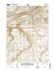
Layered GeoPDF 7.5 Minute Quadrangle Map. Layers of geospatial data include orthoimagery, roads, grids, geographic names, elevation contours, hydrography, and other selected map features.
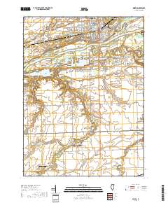
Layered geospatial PDF 7.5 Minute Quadrangle Map. Layers of geospatial data include orthoimagery, roads, grids, geographic names, elevation contours, hydrography, and other selected map features. This map is derived from GIS (geospatial information system) data. It represents a repackaging of GIS data in traditional map form, not creation of new information. The geospatial data in this map are from selected National Map data holdings and other government sources.
This dataset includes exported hydroacoustic data (i.e., coordinates for acoustically detected fish targets, mean target strength of detected fish). The distance (m) from the water guns for each fish target was calculated using the gps coordinates of fish targets and the water guns’ location. The total lengths of fish targets were estimated from their target strength (dB), and fish were then classified as native fish or bigheaded carp according to their total length. This dataset was used to examine the efficacy of water guns to alter bigheaded carp behavior via analyses on fish abundance, spatial and size distribution of fish, and the effective water gun range. Each worksheet tab is labeled with the survey date...
Categories: Data;
Tags: Grundy County,
Hanson Material Services (HMS) channel,
Illinois,
Morris, IL,
USGS Science Data Catalog (SDC),
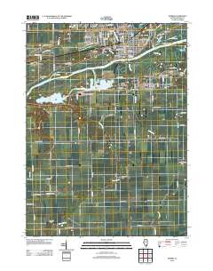
Layered GeoPDF 7.5 Minute Quadrangle Map. Layers of geospatial data include orthoimagery, roads, grids, geographic names, elevation contours, hydrography, and other selected map features.
|

|
