Filters: Tags: Mount Wright (X)
7 results (123ms)|
Filters
Date Range
Extensions Types Contacts
Categories Tag Types Tag Schemes
|
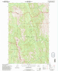
USGS Historical Quadrangle in GeoPDF.
Denali National Park and Preserve (DENA), located in central Alaska, is home to iconic and dynamic landscapes surrounding the tallest mountain range in North America, the Alaska Range. DENA preserves over 6 million acres of wild land that provides opportunities for recreation, subsistence hunting and gathering, preservation of cultural resources, and scientific research. Despite its size and popularity, DENA has only one road—the dead-end, 92-mile Denali National Park Road (hereafter referred to as the Park Road). The Park Road is mostly gravel; only the first 15 miles are paved. It is the only access for most DENA infrastructure, including visitor centers, staff facilities, campgrounds, and businesses. The Park...
Categories: Data;
Types: Downloadable,
Map Service,
OGC WFS Layer,
OGC WMS Layer,
Shapefile;
Tags: Alaska,
Alaska Range,
Browne glaciation,
Cantwell Basin,
Cantwell Formation,
This data set contains imagery from the National Agriculture Imagery Program (NAIP). The NAIP program is administered by USDA FSA and has been established to support two main FSA strategic goals centered on agricultural production. These are, increase stewardship of America's natural resources while enhancing the environment, and to ensure commodities are procured and distributed effectively and efficiently to increase food security. The NAIP program supports these goals by acquiring and providing ortho imagery that has been collected during the agricultural growing season in the U.S. The NAIP ortho imagery is tailored to meet FSA requirements and is a fundamental tool used to support FSA farm and conservation programs....
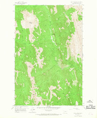
USGS Historical Quadrangle in GeoPDF.
This data set contains imagery from the National Agriculture Imagery Program (NAIP). The NAIP program is administered by USDA FSA and has been established to support two main FSA strategic goals centered on agricultural production. These are, increase stewardship of America's natural resources while enhancing the environment, and to ensure commodities are procured and distributed effectively and efficiently to increase food security. The NAIP program supports these goals by acquiring and providing ortho imagery that has been collected during the agricultural growing season in the U.S. The NAIP ortho imagery is tailored to meet FSA requirements and is a fundamental tool used to support FSA farm and conservation programs....
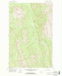
USGS Historical Quadrangle in GeoPDF.
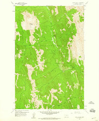
USGS Historical Quadrangle in GeoPDF.
|

|
