Filters: Tags: ND (X) > Date Range: {"choice":"year"} (X)
1,733 results (46ms)|
Filters
Date Types (for Date Range)
Types Contacts
Categories Tag Types
|
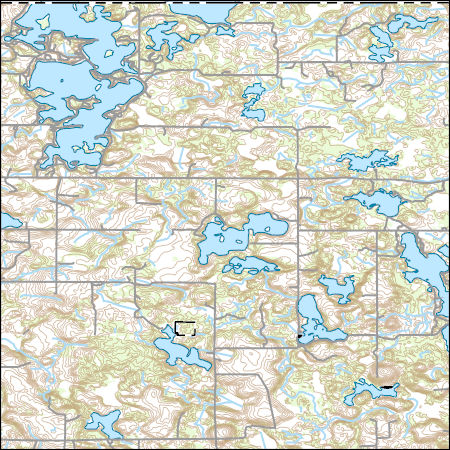
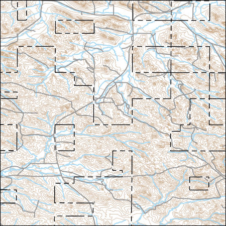
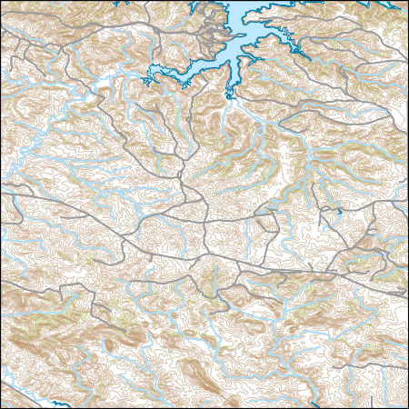
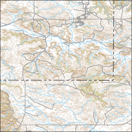
Layers of geospatial data include contours, boundaries, land cover, hydrography, roads, transportation, geographic names, structures, and other selected map features.
Layers of geospatial data include contours, boundaries, land cover, hydrography, roads, transportation, geographic names, structures, and other selected map features.
Layers of geospatial data include contours, boundaries, land cover, hydrography, roads, transportation, geographic names, structures, and other selected map features.
Types: Citation;
Tags: 7.5 x 7.5 minute,
7_5_Min,
Combined Vector,
Combined Vector,
Combined Vector,
Layers of geospatial data include contours, boundaries, land cover, hydrography, roads, transportation, geographic names, structures, and other selected map features.
Types: Citation;
Tags: 7.5 x 7.5 minute,
7_5_Min,
Combined Vector,
Combined Vector,
Combined Vector,

The Watershed Boundary Dataset (WBD) is a comprehensive aggregated collection of hydrologic unit data consistent with the national criteria for delineation and resolution. It defines the areal extent of surface water drainage to a point except in coastal or lake front areas where there could be multiple outlets as stated by the "Federal Standards and Procedures for the National Watershed Boundary Dataset (WBD)" "Standard" (https://pubs.usgs.gov/tm/11/a3/). Watershed boundaries are determined solely upon science-based hydrologic principles, not favoring any administrative boundaries or special projects, nor particular program or agency. This dataset represents the hydrologic unit boundaries to the 12-digit (6th level)...

The Geographic Names Information System (GNIS) is the Federal standard for geographic nomenclature. The U.S. Geological Survey developed the GNIS for the U.S. Board on Geographic Names, a Federal inter-agency body chartered by public law to maintain uniform feature name usage throughout the Government and to promulgate standard names to the public. The GNIS is the official repository of domestic geographic names data; the official vehicle for geographic names use by all departments of the Federal Government; and the source for applying geographic names to Federal electronic and printed products of all types.

The Geographic Names Information System (GNIS) is the Federal standard for geographic nomenclature. The U.S. Geological Survey developed the GNIS for the U.S. Board on Geographic Names, a Federal inter-agency body chartered by public law to maintain uniform feature name usage throughout the Government and to promulgate standard names to the public. The GNIS is the official repository of domestic geographic names data; the official vehicle for geographic names use by all departments of the Federal Government; and the source for applying geographic names to Federal electronic and printed products of all types.

The Geographic Names Information System (GNIS) is the Federal standard for geographic nomenclature. The U.S. Geological Survey developed the GNIS for the U.S. Board on Geographic Names, a Federal inter-agency body chartered by public law to maintain uniform feature name usage throughout the Government and to promulgate standard names to the public. The GNIS is the official repository of domestic geographic names data; the official vehicle for geographic names use by all departments of the Federal Government; and the source for applying geographic names to Federal electronic and printed products of all types.
Climate change over the past century has altered vegetation community composition and species distributions across rangelands in the western United States. The scale and magnitude of climatic influences are largely unknown. We used fractional component cover data for rangeland functional groups and weather data from the 1985 to 2023 reference period in conjunction with soils and topography data to develop empirical models describing the spatio-temporal variation in component cover. To investigate the ramifications of future change across the western US, we extended models based on historical relationships over the reference period to model landscape effects based on future weather conditions from two emissions scenarios...
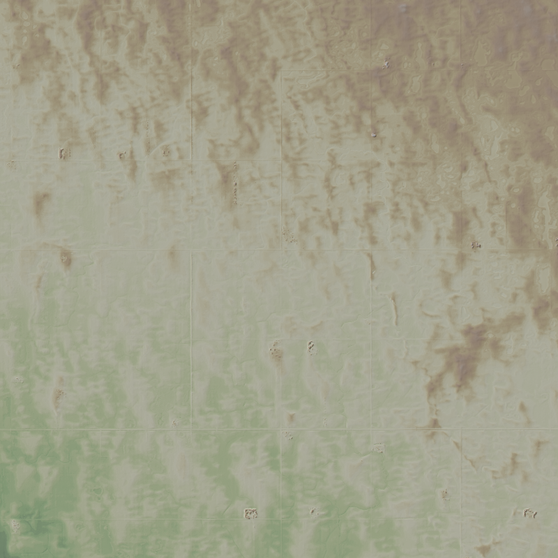
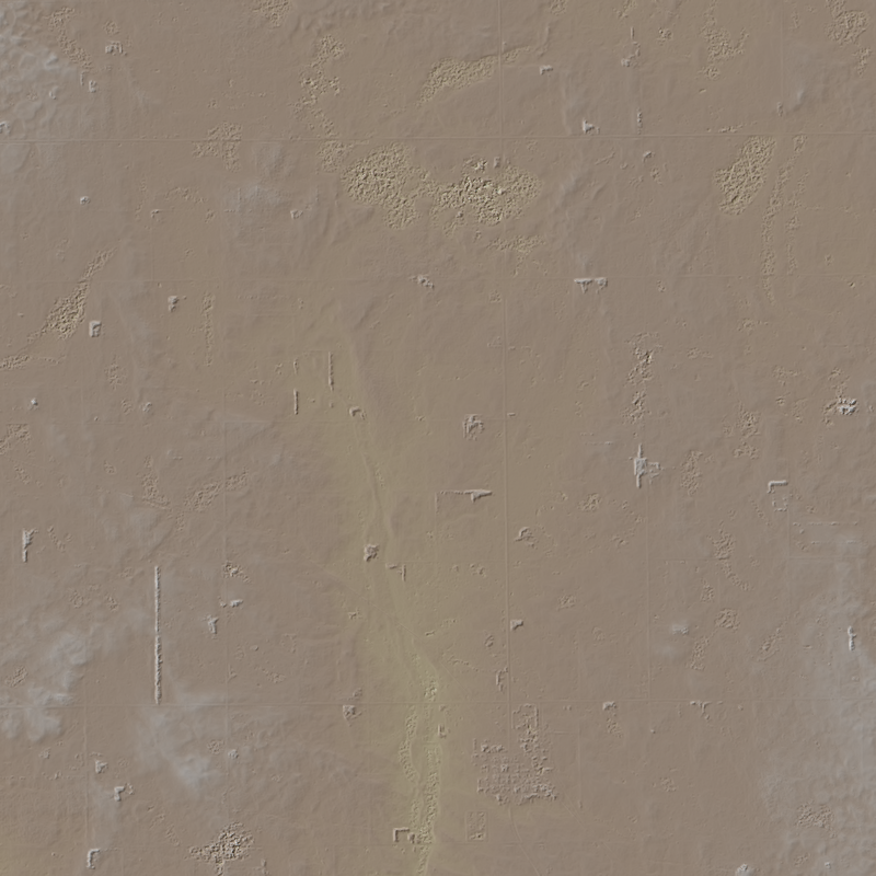
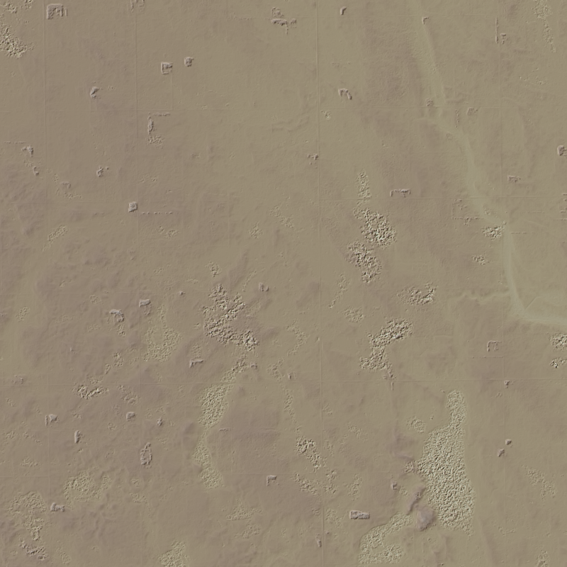
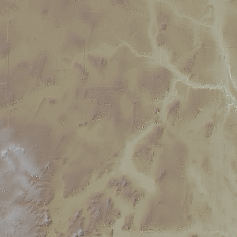
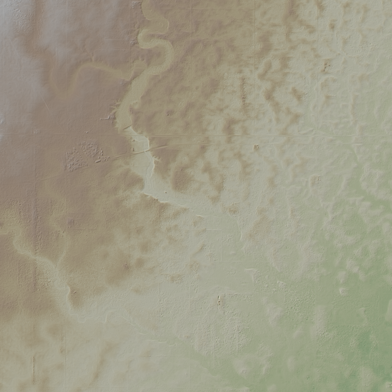
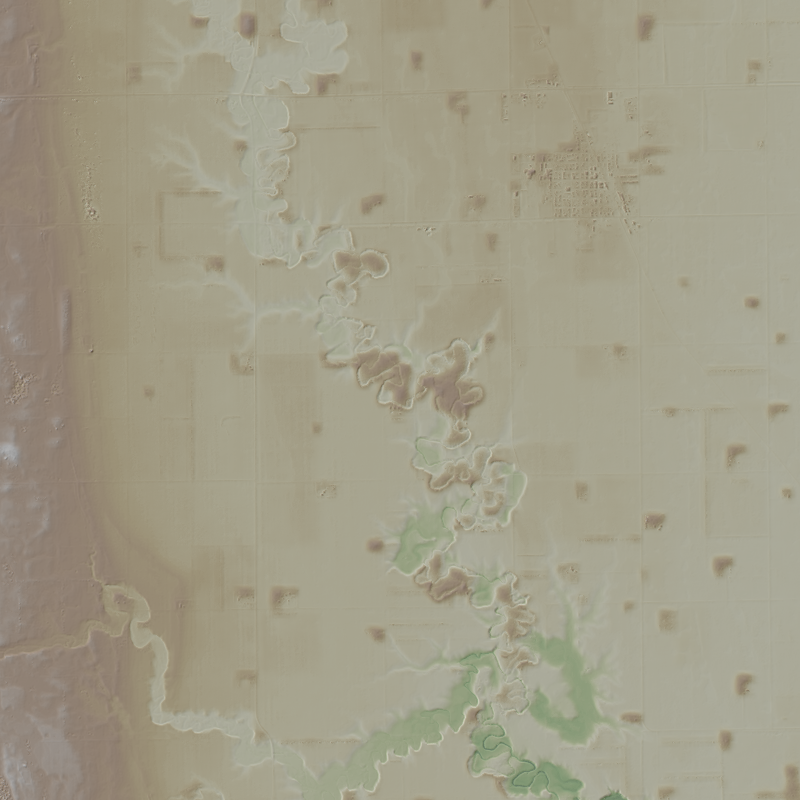
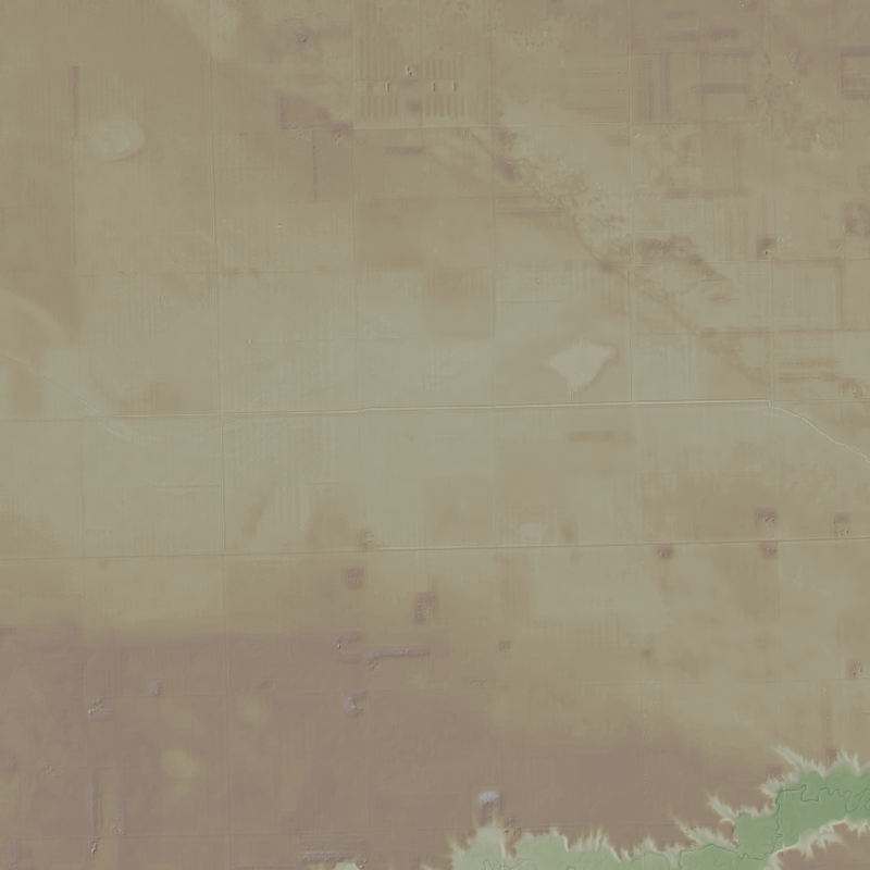
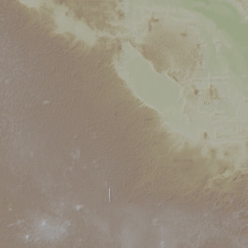
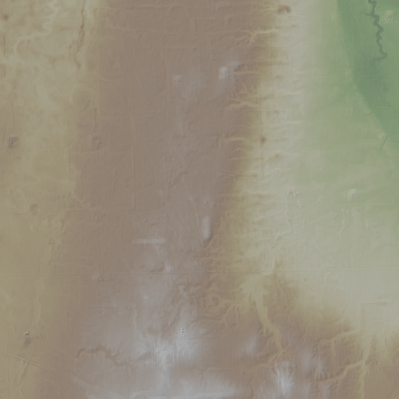
This is a 1-meter resolution digital surface model (DSM) derived from commercial electro-optical satellite imagery. Contributing imaging sensors include WorldView-1, WorldView-2, WorldView-3, and GeoEye-1. A digital surface model (DSM) is a 3D representation of the Earth’s surface height, including any natural or built features located on it, such as the tops of buildings, trees and vegetation. This “top of surface” elevation dataset was produced by the National Geospatial-Intelligence Agency (NGA) with the support of the GeoData Cooperative. The GeoData Cooperative is a Department of Defense mission-driven collaboration between industry, academia, and the U.S. Government to enable access to current, accurate, and...
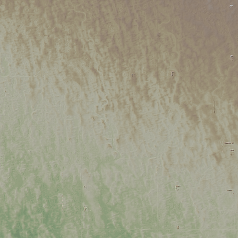
This is a 1-meter resolution digital surface model (DSM) derived from commercial electro-optical satellite imagery. Contributing imaging sensors include WorldView-1, WorldView-2, WorldView-3, and GeoEye-1. A digital surface model (DSM) is a 3D representation of the Earth’s surface height, including any natural or built features located on it, such as the tops of buildings, trees and vegetation. This “top of surface” elevation dataset was produced by the National Geospatial-Intelligence Agency (NGA) with the support of the GeoData Cooperative. The GeoData Cooperative is a Department of Defense mission-driven collaboration between industry, academia, and the U.S. Government to enable access to current, accurate, and...
This is a 1-meter resolution digital surface model (DSM) derived from commercial electro-optical satellite imagery. Contributing imaging sensors include WorldView-1, WorldView-2, WorldView-3, and GeoEye-1. A digital surface model (DSM) is a 3D representation of the Earth’s surface height, including any natural or built features located on it, such as the tops of buildings, trees and vegetation. This “top of surface” elevation dataset was produced by the National Geospatial-Intelligence Agency (NGA) with the support of the GeoData Cooperative. The GeoData Cooperative is a Department of Defense mission-driven collaboration between industry, academia, and the U.S. Government to enable access to current, accurate, and...
This is a 1-meter resolution digital surface model (DSM) derived from commercial electro-optical satellite imagery. Contributing imaging sensors include WorldView-1, WorldView-2, WorldView-3, and GeoEye-1. A digital surface model (DSM) is a 3D representation of the Earth’s surface height, including any natural or built features located on it, such as the tops of buildings, trees and vegetation. This “top of surface” elevation dataset was produced by the National Geospatial-Intelligence Agency (NGA) with the support of the GeoData Cooperative. The GeoData Cooperative is a Department of Defense mission-driven collaboration between industry, academia, and the U.S. Government to enable access to current, accurate, and...
This is a 1-meter resolution digital surface model (DSM) derived from commercial electro-optical satellite imagery. Contributing imaging sensors include WorldView-1, WorldView-2, WorldView-3, and GeoEye-1. A digital surface model (DSM) is a 3D representation of the Earth’s surface height, including any natural or built features located on it, such as the tops of buildings, trees and vegetation. This “top of surface” elevation dataset was produced by the National Geospatial-Intelligence Agency (NGA) with the support of the GeoData Cooperative. The GeoData Cooperative is a Department of Defense mission-driven collaboration between industry, academia, and the U.S. Government to enable access to current, accurate, and...
This is a 1-meter resolution digital surface model (DSM) derived from commercial electro-optical satellite imagery. Contributing imaging sensors include WorldView-1, WorldView-2, WorldView-3, and GeoEye-1. A digital surface model (DSM) is a 3D representation of the Earth’s surface height, including any natural or built features located on it, such as the tops of buildings, trees and vegetation. This “top of surface” elevation dataset was produced by the National Geospatial-Intelligence Agency (NGA) with the support of the GeoData Cooperative. The GeoData Cooperative is a Department of Defense mission-driven collaboration between industry, academia, and the U.S. Government to enable access to current, accurate, and...
This is a 1-meter resolution digital surface model (DSM) derived from commercial electro-optical satellite imagery. Contributing imaging sensors include WorldView-1, WorldView-2, WorldView-3, and GeoEye-1. A digital surface model (DSM) is a 3D representation of the Earth’s surface height, including any natural or built features located on it, such as the tops of buildings, trees and vegetation. This “top of surface” elevation dataset was produced by the National Geospatial-Intelligence Agency (NGA) with the support of the GeoData Cooperative. The GeoData Cooperative is a Department of Defense mission-driven collaboration between industry, academia, and the U.S. Government to enable access to current, accurate, and...
This is a 1-meter resolution digital surface model (DSM) derived from commercial electro-optical satellite imagery. Contributing imaging sensors include WorldView-1, WorldView-2, WorldView-3, and GeoEye-1. A digital surface model (DSM) is a 3D representation of the Earth’s surface height, including any natural or built features located on it, such as the tops of buildings, trees and vegetation. This “top of surface” elevation dataset was produced by the National Geospatial-Intelligence Agency (NGA) with the support of the GeoData Cooperative. The GeoData Cooperative is a Department of Defense mission-driven collaboration between industry, academia, and the U.S. Government to enable access to current, accurate, and...
This is a 1-meter resolution digital surface model (DSM) derived from commercial electro-optical satellite imagery. Contributing imaging sensors include WorldView-1, WorldView-2, WorldView-3, and GeoEye-1. A digital surface model (DSM) is a 3D representation of the Earth’s surface height, including any natural or built features located on it, such as the tops of buildings, trees and vegetation. This “top of surface” elevation dataset was produced by the National Geospatial-Intelligence Agency (NGA) with the support of the GeoData Cooperative. The GeoData Cooperative is a Department of Defense mission-driven collaboration between industry, academia, and the U.S. Government to enable access to current, accurate, and...

This is a 1-meter resolution digital surface model (DSM) derived from commercial electro-optical satellite imagery. Contributing imaging sensors include WorldView-1, WorldView-2, WorldView-3, and GeoEye-1. A digital surface model (DSM) is a 3D representation of the Earth’s surface height, including any natural or built features located on it, such as the tops of buildings, trees and vegetation. This “top of surface” elevation dataset was produced by the National Geospatial-Intelligence Agency (NGA) with the support of the GeoData Cooperative. The GeoData Cooperative is a Department of Defense mission-driven collaboration between industry, academia, and the U.S. Government to enable access to current, accurate, and...
This is a 1-meter resolution digital surface model (DSM) derived from commercial electro-optical satellite imagery. Contributing imaging sensors include WorldView-1, WorldView-2, WorldView-3, and GeoEye-1. A digital surface model (DSM) is a 3D representation of the Earth’s surface height, including any natural or built features located on it, such as the tops of buildings, trees and vegetation. This “top of surface” elevation dataset was produced by the National Geospatial-Intelligence Agency (NGA) with the support of the GeoData Cooperative. The GeoData Cooperative is a Department of Defense mission-driven collaboration between industry, academia, and the U.S. Government to enable access to current, accurate, and...
|

|
