Filters
Date Range
Extensions
Types
Contacts
Categories
Tag Types
Tag Schemes
|
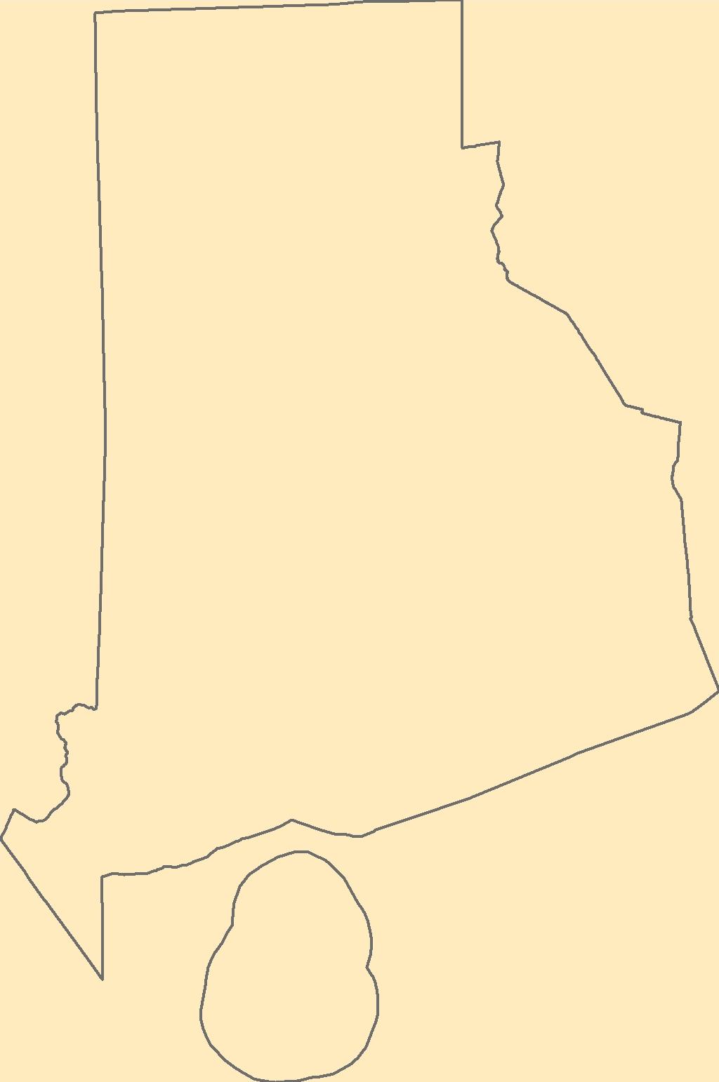
The Geographic Names Information System (GNIS) is the Federal standard for geographic nomenclature. The U.S. Geological Survey developed the GNIS for the U.S. Board on Geographic Names, a Federal inter-agency body chartered by public law to maintain uniform feature name usage throughout the Government and to promulgate standard names to the public. The GNIS is the official repository of domestic geographic names data; the official vehicle for geographic names use by all departments of the Federal Government; and the source for applying geographic names to Federal electronic and printed products of all types.
Tags: Antarctica,
Antarctica,
BGN,
Board on Geographic Names,
Borough, All tags...
Bristol,
Census Area,
Commonwealth,
County,
District,
Downloadable Data,
Feature class,
Feature coordinates,
Feature county,
Feature description,
Feature designation,
Feature history,
Feature indentification,
Feature name,
Feature state,
GNIS,
GeoPackage,
Geographic Names,
Geographic Names Full Model,
Geographic Names Information System,
Geographic feature,
Geographic name,
Geographical feature,
Geographical name,
Kent,
Municipio,
National Geographic Names Information System (GNIS),
National Geographic Names Information System (GNIS),
Newport,
Official feature name,
Open Geospatial Consortium GeoPackage 1.2,
Outlying Area,
Parish,
Place name,
Populated Place,
Providence,
RI,
Rhode Island,
State,
Territories,
Territory,
Topographic Map,
U.S. Board on Geographic Names,
U.S. Geological Survey,
US,
USA,
USBGN,
USGS,
United States,
United States,
United States,
Variant name,
Washington,
antarctic,
database,
economy,
environment,
feature,
gazetteer,
geographic,
geographic names,
geographical,
geography,
geospatial,
imageryBaseMapsEarthCover,
inlandWaters,
location,
map,
name,
place,
placename,
society,
structure,
topographic map,
toponymy, Fewer tags

The Geographic Names Information System (GNIS) is the Federal standard for geographic nomenclature. The U.S. Geological Survey developed the GNIS for the U.S. Board on Geographic Names, a Federal inter-agency body chartered by public law to maintain uniform feature name usage throughout the Government and to promulgate standard names to the public. The GNIS is the official repository of domestic geographic names data; the official vehicle for geographic names use by all departments of the Federal Government; and the source for applying geographic names to Federal electronic and printed products of all types.
Tags: Adair,
Andrew,
Antarctica,
Antarctica,
Atchison, All tags...
Audrain,
BGN,
Barry,
Barton,
Bates,
Benton,
Board on Geographic Names,
Bollinger,
Boone,
Borough,
Buchanan,
Butler,
Caldwell,
Callaway,
Camden,
Cape Girardeau,
Carroll,
Carter,
Cass,
Cedar,
Census Area,
Chariton,
Christian,
Clark,
Clay,
Clinton,
Cole,
Commonwealth,
Cooper,
County,
Crawford,
Dade,
Dallas,
Daviess,
DeKalb,
Dent,
District,
Douglas,
Downloadable Data,
Dunklin,
Esri File GeoDatabase 10,
Feature class,
Feature coordinates,
Feature county,
Feature description,
Feature designation,
Feature history,
Feature indentification,
Feature name,
Feature state,
FileGDB,
Franklin,
GNIS,
Gasconade,
Gentry,
Geographic Names,
Geographic Names Full Model,
Geographic Names Information System,
Geographic feature,
Geographic name,
Geographical feature,
Geographical name,
Greene,
Grundy,
Harrison,
Henry,
Hickory,
Holt,
Howard,
Howell,
Iron,
Jackson,
Jasper,
Jefferson,
Johnson,
Knox,
Laclede,
Lafayette,
Lawrence,
Lewis,
Lincoln,
Linn,
Livingston,
MO,
Macon,
Madison,
Maries,
Marion,
McDonald,
Mercer,
Miller,
Mississippi,
Missouri,
Moniteau,
Monroe,
Montgomery,
Morgan,
Municipio,
National Geographic Names Information System (GNIS),
National Geographic Names Information System (GNIS),
New Madrid,
Newton,
Nodaway,
Official feature name,
Oregon,
Osage,
Outlying Area,
Ozark,
Parish,
Pemiscot,
Perry,
Pettis,
Phelps,
Pike,
Place name,
Platte,
Polk,
Populated Place,
Pulaski,
Putnam,
Ralls,
Randolph,
Ray,
Reynolds,
Ripley,
Saline,
Schuyler,
Scotland,
Scott,
Shannon,
Shelby,
St. Charles,
St. Clair,
St. Francois,
St. Louis,
State,
Ste. Genevieve,
Stoddard,
Stone,
Sullivan,
Taney,
Territories,
Territory,
Texas,
Topographic Map,
U.S. Board on Geographic Names,
U.S. Geological Survey,
US,
USA,
USBGN,
USGS,
United States,
United States,
United States,
Variant name,
Vernon,
Warren,
Washington,
Wayne,
Webster,
Worth,
Wright,
antarctic,
database,
economy,
environment,
feature,
gazetteer,
geographic,
geographic names,
geographical,
geography,
geospatial,
imageryBaseMapsEarthCover,
inlandWaters,
location,
map,
name,
place,
placename,
society,
structure,
topographic map,
toponymy, Fewer tags
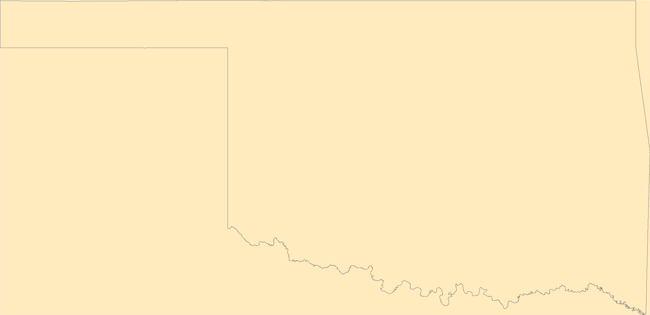
The Geographic Names Information System (GNIS) is the Federal standard for geographic nomenclature. The U.S. Geological Survey developed the GNIS for the U.S. Board on Geographic Names, a Federal inter-agency body chartered by public law to maintain uniform feature name usage throughout the Government and to promulgate standard names to the public. The GNIS is the official repository of domestic geographic names data; the official vehicle for geographic names use by all departments of the Federal Government; and the source for applying geographic names to Federal electronic and printed products of all types.
Tags: Adair,
Alfalfa,
Antarctica,
Antarctica,
Atoka, All tags...
BGN,
Beaver,
Beckham,
Blaine,
Board on Geographic Names,
Borough,
Bryan,
Caddo,
Canadian,
Carter,
Census Area,
Cherokee,
Choctaw,
Cimarron,
Cleveland,
Coal,
Comanche,
Commonwealth,
Cotton,
County,
Craig,
Creek,
Custer,
Delaware,
Dewey,
District,
Downloadable Data,
Ellis,
Esri File GeoDatabase 10,
Feature class,
Feature coordinates,
Feature county,
Feature description,
Feature designation,
Feature history,
Feature indentification,
Feature name,
Feature state,
FileGDB,
GNIS,
Garfield,
Garvin,
Geographic Names,
Geographic Names Full Model,
Geographic Names Information System,
Geographic feature,
Geographic name,
Geographical feature,
Geographical name,
Grady,
Grant,
Greer,
Harmon,
Harper,
Haskell,
Hughes,
Jackson,
Jefferson,
Johnston,
Kay,
Kingfisher,
Kiowa,
Latimer,
Le Flore,
Lincoln,
Logan,
Love,
Major,
Marshall,
Mayes,
McClain,
McCurtain,
McIntosh,
Municipio,
Murray,
Muskogee,
National Geographic Names Information System (GNIS),
National Geographic Names Information System (GNIS),
Noble,
Nowata,
OK,
Official feature name,
Okfuskee,
Oklahoma,
Oklahoma,
Okmulgee,
Osage,
Ottawa,
Outlying Area,
Parish,
Pawnee,
Payne,
Pittsburg,
Place name,
Pontotoc,
Populated Place,
Pottawatomie,
Pushmataha,
Roger Mills,
Rogers,
Seminole,
Sequoyah,
State,
Stephens,
Territories,
Territory,
Texas,
Tillman,
Topographic Map,
Tulsa,
U.S. Board on Geographic Names,
U.S. Geological Survey,
US,
USA,
USBGN,
USGS,
United States,
United States,
United States,
Variant name,
Wagoner,
Washington,
Washita,
Woods,
Woodward,
antarctic,
database,
economy,
environment,
feature,
gazetteer,
geographic,
geographic names,
geographical,
geography,
geospatial,
imageryBaseMapsEarthCover,
inlandWaters,
location,
map,
name,
place,
placename,
society,
structure,
topographic map,
toponymy, Fewer tags

The Geographic Names Information System (GNIS) is the Federal standard for geographic nomenclature. The U.S. Geological Survey developed the GNIS for the U.S. Board on Geographic Names, a Federal inter-agency body chartered by public law to maintain uniform feature name usage throughout the Government and to promulgate standard names to the public. The GNIS is the official repository of domestic geographic names data; the official vehicle for geographic names use by all departments of the Federal Government; and the source for applying geographic names to Federal electronic and printed products of all types.
Tags: AS,
American Samoa,
Antarctica,
Antarctica,
BGN, All tags...
Board on Geographic Names,
Borough,
Census Area,
Commonwealth,
County,
District,
Downloadable Data,
Eastern,
Esri File GeoDatabase 10,
Feature class,
Feature coordinates,
Feature county,
Feature description,
Feature designation,
Feature history,
Feature indentification,
Feature name,
Feature state,
FileGDB,
GNIS,
Geographic Names,
Geographic Names Full Model,
Geographic Names Information System,
Geographic feature,
Geographic name,
Geographical feature,
Geographical name,
Manu'a,
Municipio,
National Geographic Names Information System (GNIS),
National Geographic Names Information System (GNIS),
Official feature name,
Outlying Area,
Parish,
Place name,
Populated Place,
Rose Island,
State,
Swains Island,
Territories,
Territory,
Topographic Map,
U.S. Board on Geographic Names,
U.S. Geological Survey,
US,
USA,
USBGN,
USGS,
United States,
United States,
United States,
Variant name,
Western,
antarctic,
database,
economy,
environment,
feature,
gazetteer,
geographic,
geographic names,
geographical,
geography,
geospatial,
imageryBaseMapsEarthCover,
inlandWaters,
location,
map,
name,
place,
placename,
society,
structure,
topographic map,
toponymy, Fewer tags

The Geographic Names Information System (GNIS) is the Federal standard for geographic nomenclature. The U.S. Geological Survey developed the GNIS for the U.S. Board on Geographic Names, a Federal inter-agency body chartered by public law to maintain uniform feature name usage throughout the Government and to promulgate standard names to the public. The GNIS is the official repository of domestic geographic names data; the official vehicle for geographic names use by all departments of the Federal Government; and the source for applying geographic names to Federal electronic and printed products of all types.
Tags: Antarctica,
Antarctica,
BGN,
Bernalillo,
Board on Geographic Names, All tags...
Borough,
Catron,
Census Area,
Chaves,
Cibola,
Colfax,
Commonwealth,
County,
Curry,
De Baca,
District,
Downloadable Data,
Doña Ana,
Eddy,
Esri File GeoDatabase 10,
Feature class,
Feature coordinates,
Feature county,
Feature description,
Feature designation,
Feature history,
Feature indentification,
Feature name,
Feature state,
FileGDB,
GNIS,
Geographic Names,
Geographic Names Full Model,
Geographic Names Information System,
Geographic feature,
Geographic name,
Geographical feature,
Geographical name,
Grant,
Guadalupe,
Harding,
Hidalgo,
Lea,
Lincoln,
Los Alamos,
Luna,
McKinley,
Mora,
Municipio,
NM,
National Geographic Names Information System (GNIS),
National Geographic Names Information System (GNIS),
New Mexico,
Official feature name,
Otero,
Outlying Area,
Parish,
Place name,
Populated Place,
Quay,
Rio Arriba,
Roosevelt,
San Juan,
San Miguel,
Sandoval,
Santa Fe,
Sierra,
Socorro,
State,
Taos,
Territories,
Territory,
Topographic Map,
Torrance,
U.S. Board on Geographic Names,
U.S. Geological Survey,
US,
USA,
USBGN,
USGS,
Union,
United States,
United States,
United States,
Valencia,
Variant name,
antarctic,
database,
economy,
environment,
feature,
gazetteer,
geographic,
geographic names,
geographical,
geography,
geospatial,
imageryBaseMapsEarthCover,
inlandWaters,
location,
map,
name,
place,
placename,
society,
structure,
topographic map,
toponymy, Fewer tags
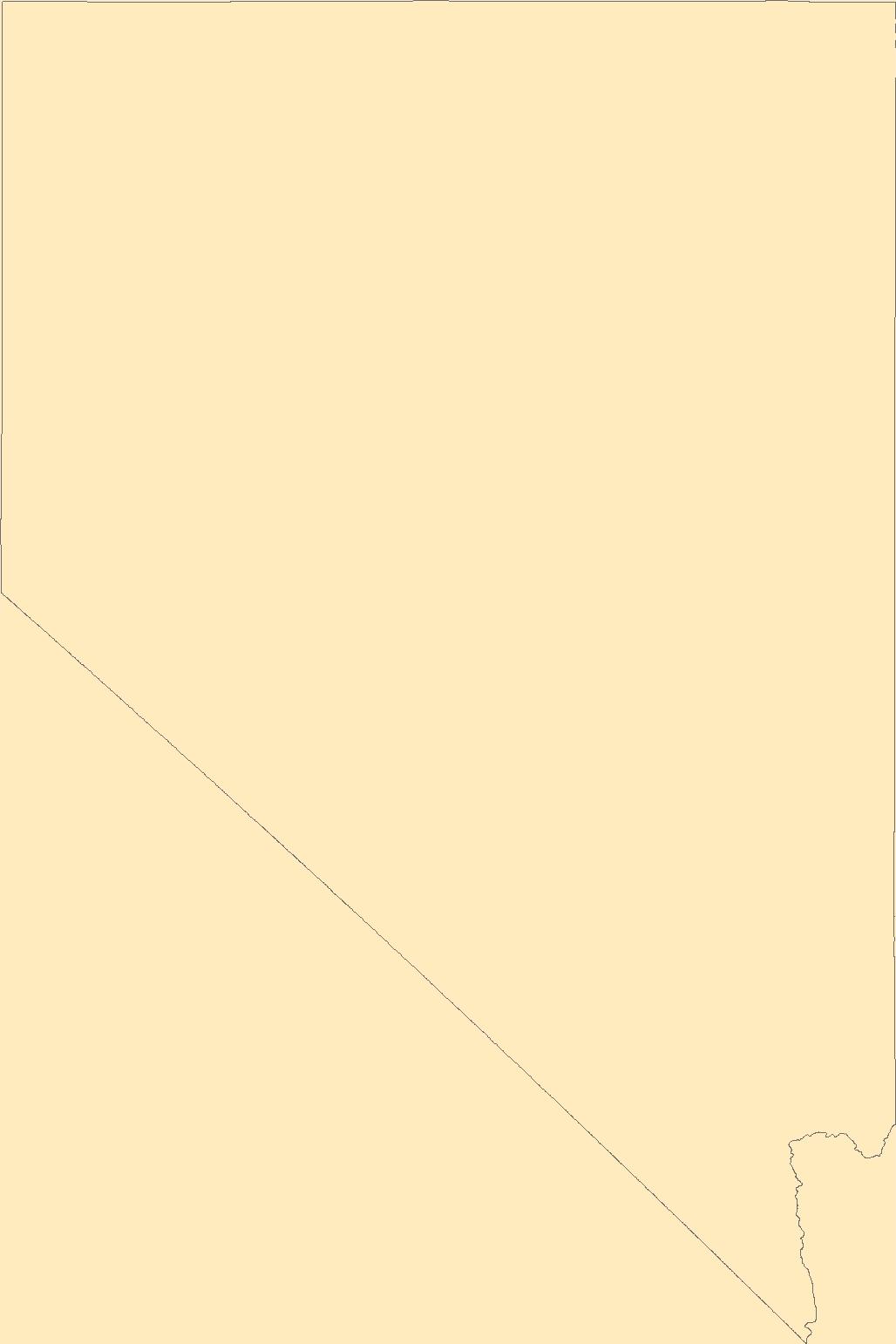
The Geographic Names Information System (GNIS) is the Federal standard for geographic nomenclature. The U.S. Geological Survey developed the GNIS for the U.S. Board on Geographic Names, a Federal inter-agency body chartered by public law to maintain uniform feature name usage throughout the Government and to promulgate standard names to the public. The GNIS is the official repository of domestic geographic names data; the official vehicle for geographic names use by all departments of the Federal Government; and the source for applying geographic names to Federal electronic and printed products of all types.
Tags: Antarctica,
Antarctica,
BGN,
Board on Geographic Names,
Borough, All tags...
Carson City,
Census Area,
Churchill,
Clark,
Commonwealth,
County,
District,
Douglas,
Downloadable Data,
Elko,
Esmeralda,
Esri File GeoDatabase 10,
Eureka,
Feature class,
Feature coordinates,
Feature county,
Feature description,
Feature designation,
Feature history,
Feature indentification,
Feature name,
Feature state,
FileGDB,
GNIS,
Geographic Names,
Geographic Names Full Model,
Geographic Names Information System,
Geographic feature,
Geographic name,
Geographical feature,
Geographical name,
Humboldt,
Lander,
Lincoln,
Lyon,
Mineral,
Municipio,
NV,
National Geographic Names Information System (GNIS),
National Geographic Names Information System (GNIS),
Nevada,
Nye,
Official feature name,
Outlying Area,
Parish,
Pershing,
Place name,
Populated Place,
State,
Storey,
Territories,
Territory,
Topographic Map,
U.S. Board on Geographic Names,
U.S. Geological Survey,
US,
USA,
USBGN,
USGS,
United States,
United States,
United States,
Variant name,
Washoe,
White Pine,
antarctic,
database,
economy,
environment,
feature,
gazetteer,
geographic,
geographic names,
geographical,
geography,
geospatial,
imageryBaseMapsEarthCover,
inlandWaters,
location,
map,
name,
place,
placename,
society,
structure,
topographic map,
toponymy, Fewer tags

In 1998, the Florida Fish and Wildlife Conservation Commission's (FWC) Fisheries Independent Monitoring (FIM) program began a long-term monitoring effort of key reef fish populations in the Florida Keys National Marine Sanctuary. This effort was aimed at evaluating the relative abundance, size structure, and habitat utilization of specific reef fish species that are targeted by commercial and recreational fisheries.; Smith, S.G., et al. 2011, Multispecies survey design for assessing reef-fish stocks, spatially explicit management performance, and ecosystem condition. Fisheries Research 109(2011)25-41; Brandt, M.E., et. al. 2009, A Cooperative Multi-agency Reef Fish Monitoring Protocol for the Florida Keys Coral...
Categories: Data;
Types: NetCDF OPeNDAP Service;
Tags: Florida Keys National Marine Sanctuaries Reef Fish Monitoring,
array,
array-data,
basis,
basisOfRecord, All tags...
bibliographic,
bibliographiccitation,
body,
citation,
class,
code,
collection,
collectionCode,
comprehensive,
coordinate,
coordinateUncertaintyInMeters,
count,
country,
data,
data_set_ID,
data_set_name,
dataset,
datasetID,
datasetName,
date,
datum,
dep,
depth,
dynamic,
dynamicProperties,
event,
eventDate,
eventDateRemarks,
eventDateTimeZone,
eventdate,
eventdatetimezone,
family,
fish,
fish sampling,
florida,
florida keys,
genus,
geodetic,
geodeticDatum,
geoscientificInformation,
gulf of mexico,
habitat,
higher,
higherInstitutionCode,
identification,
identifier,
individual,
institution,
institutionCode,
keys,
kingdom,
large,
latitude,
length,
locality,
longitude,
marine,
material,
materialSampleID,
max,
maximum,
maximumDepthInMeters,
meters,
min,
minimum,
minimumDepthInMeters,
miniumDepthInMeters,
monitoring,
name,
national,
number,
observed,
observedIndividualLengthInCm,
observedMeanLengthInCm,
order,
owner,
ownerInstitutionCode,
phylum,
properties,
province,
quality,
quantificationMethod,
quantificationName,
quantificationStatus,
quantificationUnit,
quantificationValue,
rank,
record,
recorded,
recordedBy,
reef,
sample,
samples,
sanctuaries,
scientific,
scientificName,
sea,
seawater,
service,
set,
specificEpithet,
state,
stateProvince,
statistics,
status,
stewardship,
system,
taxon,
taxonRank,
taxonomy,
time,
timeUncertainty,
timeseries,
timeuncertainty,
type,
typeStatus,
uncertainty,
vernacular,
vernacularName,
verticalDatum,
water,
waterBody,
waterbody,
zone, Fewer tags

ThThe purpose of the Coral Reef Evaluation and Monitoring Project (CREMP) is to monitor the status and trends of selected reefs in the Florida Keys National Marine Sanctuary(FKNMS). CREMP assessments have been conducted annually at fixed sites since 1996 and data collected provides information on the temporal changes in benthic cover and diversity of stony corals and associated marine flora and fauna. The core field methods continue to be underwater videography and timed coral species inventories. Findings presented in this report include data from 109 stations at 37 sites sampled from 1996 through 2008 in the Florida Keys and 1999 through 2008 in the Dry Tortugas. The report describes the annual differences (between...
Categories: Data;
Types: NetCDF OPeNDAP Service;
Tags: Coral Reef Evaluation and Monitoring Project (CREMP),
about,
absence,
accepted,
acceptedNameAuthorship, All tags...
acceptedNameUsage,
acceptedNameUsageID,
accepted_aphia_database_identification_number,
accepted_authorship_information,
accepted_name_usage,
aphia,
aphia_database_identification_number,
area,
array,
array-data,
associatedreferences,
associatedreferences,
authorship,
authorship_information,
basis,
basis of record,
basis of record,
basisOfRecord,
biogeographic,
biology,
class,
class,
commission,
common,
comprehensive,
conservation,
coral,
coral monitoring,
coverage,
cremp,
data,
data_set_identification,
data_set_name,
database,
dataset,
dataset,
datasetName,
date,
dry tortugas,
evaluation,
event,
eventID,
eventdate,
eventdate,
family,
family,
fish,
florida,
florida keys,
fwc,
fwc-fwri,
fwri,
genus,
genus,
geoscientificInformation,
gulf of mexico,
habitatid,
hierarchy,
identification,
identifier,
information,
institute,
keys,
kingdom,
kingdom,
large,
latitude,
longitude,
marine,
meters,
monitoring,
name,
number,
obis,
occurrence,
occurrenceID,
occurrenceStatus,
occurrence_identification,
ocean,
order,
order,
organism,
organismQuantity,
organismQuantityType,
organism_per_sample_area,
per,
percent,
percent_coverage,
phylum,
phylum,
presence,
project,
rank,
record,
recorded,
recordedBy,
reef,
register,
research,
revisited,
sample,
samples,
scientific,
scientificNameAuthorship,
scientific_name,
scientificname,
scientificnameid,
service,
set,
sitecode,
siteid,
species,
species_name,
specificEpithet,
square,
statement,
station,
status,
stewardship,
subregionid,
system,
taxon,
taxonRank,
taxon_rank,
taxon_status,
taxonomic,
taxonomicStatus,
taxonomic_status,
taxonomy,
time,
unaccepted,
usage,
v2.3,
value,
vernacular,
vernacularName,
vernacular_name,
wildlife,
world,
worms,
year, Fewer tags

In 1998, the Florida Fish and Wildlife Conservation Commission's (FWC) Fisheries Independent Monitoring (FIM) program began a long-term monitoring effort of key reef fish populations in the Florida Keys National Marine Sanctuary. This effort was aimed at evaluating the relative abundance, size structure, and habitat utilization of specific reef fish species that are targeted by commercial and recreational fisheries.; Smith, S.G., et al. 2011, Multispecies survey design for assessing reef-fish stocks, spatially explicit management performance, and ecosystem condition. Fisheries Research 109(2011)25-41; Brandt, M.E., et. al. 2009, A Cooperative Multi-agency Reef Fish Monitoring Protocol for the Florida Keys Coral...
Categories: Data;
Types: NetCDF OPeNDAP Service;
Tags: Florida Keys National Marine Sanctuaries Reef Fish Monitoring,
array,
array-data,
basis,
basisOfRecord, All tags...
bibliographic,
bibliographiccitation,
body,
citation,
class,
code,
collection,
collectionCode,
comprehensive,
coordinate,
coordinateUncertaintyInMeters,
count,
country,
data,
data_set_name,
dataset,
datasetID,
datasetName,
date,
datum,
dep,
depth,
dynamic,
dynamicProperties,
event,
eventDate,
eventDateRemarks,
eventDateTimeZone,
eventdate,
eventdatetimezone,
family,
fish,
fish sampling,
florida,
florida keys,
genus,
geodetic,
geodeticDatum,
geoscientificInformation,
gulf of mexico,
habitat,
higher,
higherInstitutionCode,
identification,
identifier,
individual,
institution,
institutionCode,
keys,
kingdom,
large,
latitude,
length,
locality,
longitude,
marine,
material,
materialSampleID,
max,
max_depth,
maximum,
maximumDepthInMeters,
meters,
min,
min_depth,
minimum,
minimumDepthInMeters,
monitoring,
name,
national,
number,
observed,
observedIndividualLengthInCm,
observedMeanLengthInCm,
order,
owner,
ownerInstitutionCode,
phylum,
properties,
province,
quality,
quantificationMethod,
quantificationName,
quantificationStatus,
quantificationUnit,
quantificationValue,
rank,
record,
recorded,
recordedBy,
reef,
sample,
samples,
sanctuaries,
scientific,
scientificName,
sea,
seawater,
service,
set,
specificEpithet,
state,
stateProvince,
statistics,
status,
stewardship,
system,
taxon,
taxonRank,
taxonomy,
time,
timeUncertainty,
timeseries,
timeuncertainty,
type,
typeStatus,
uncertainty,
vernacular,
vernacularName,
verticalDatum,
water,
waterBody,
waterbody,
zone, Fewer tags

The purpose of the Coral Reef Evaluation and Monitoring Project (CREMP) is to monitor the status and trends of selected reefs in the Florida Keys National Marine Sanctuary(FKNMS). CREMP assessments have been conducted annually at fixed sites since 1996 and data collected provides information on the temporal changes in benthic cover and diversity of stony corals and associated marine flora and fauna. The core field methods continue to be underwater videography and timed coral species inventories. Findings presented in this report include data from 109 stations at 37 sites sampled from 1996 through 2008 in the Florida Keys and 1999 through 2008 in the Dry Tortugas. The report describes the annual differences (between...
Categories: Data;
Types: NetCDF OPeNDAP Service;
Tags: Florida Keys Coral Reef Monitoring Project1998,
absence,
aphia,
area,
array, All tags...
array-data,
authorship,
basis,
basisOfRecord,
biology,
body,
bottom,
bottomType,
calculated,
celsius,
class,
code,
common,
comprehensive,
coral,
coral monitoring,
country,
cover,
coverage,
data,
data_set_ID,
database,
dataset,
datasetID,
date,
datum,
dep,
depth,
dry,
dry tortugas,
dynamic,
dynamicProperties,
ecological,
event,
eventDate,
eventDateRemarks,
eventDateTimeZone,
eventdate,
eventdateremarks,
eventdatetimezone,
family,
first,
firstYear,
first_year_of_observation,
fish,
florida,
florida keys,
fwri,
genus,
geodetic,
geodeticDatum,
geoscientificInformation,
gulf of mexico,
habitat,
hierarchy,
higher,
higherInstitutionCode,
identification,
information,
institude,
institution,
institutionCode,
itis,
keys,
kingdom,
large,
lastYear,
lastt,
lastt_year_of_observation,
latitude,
locality,
longitude,
max,
max_depth,
maximum,
maximumDepthInMeters,
meters,
method,
min,
min_depth,
minimum,
minimumDepthInMeters,
monitoring,
name,
north,
not,
notsampled,
number,
observation,
observed,
occurence,
order,
owner,
ownerInstitutionCode,
park,
phylum,
presence,
project,
properties,
protected,
protection,
province,
quantification,
quantificationMethod,
quantificationName,
quantificationStatus,
quantificationValue,
rank,
record,
recorded,
recordedBy,
reef,
remarks,
research,
reserve,
sample,
sampleAreaInSquareMeters,
samples,
sampling,
scientific,
scientificNameAuthorship,
scientificNameIDITIS,
scientificNameIDWoRMS,
scientificname,
sea,
seawater,
serial,
service,
set,
spatial,
species,
specificEpithet,
square,
state,
stateProvince,
station,
status,
stewardship,
strata,
system,
taxon,
taxonRank,
taxonomic,
temperature,
time,
tner,
tortuga,
transect,
type,
vernacularName,
vertical,
verticalDatum,
verticaldatum,
video,
water,
waterBody,
waterTemperatureInCelsius,
wildlife,
worms,
year,
zone, Fewer tags

USGS developed The National Map (TNM) Gazetteer as the Federal and national standard (ANSI INCITS 446-2008) for geographic nomenclature based on the Geographic Names Information System (GNIS). The National Map Gazetteer contains information about physical and cultural geographic features, geographic areas, and locational entities that are generally recognizable and locatable by name (have achieved some landmark status) and are of interest to any level of government or to the public for any purpose that would lead to the representation of the feature in printed or electronic maps and/or geographic information systems. The dataset includes features of all types in the United States, its associated areas, and Antarctica,...
Types: Citation;
Tags: BGN,
Cultural Resources Theme,
GNIS,
Geographic Names,
NGDA, All tags...
NGP-TNM,
National Geospatial Data Asset,
Overlay Map Service,
REST,
US,
United States,
WFS,
WMS,
a-16,
administrative,
board on geographic names,
cemetery,
community,
cultural,
cultural resource,
feature id,
federal,
gazetteer,
geographic,
governmental unit,
historical,
hydrography,
inlandWaters,
landform,
location,
name,
place,
populated place,
society,
statistical,
structure,
structure,
toponomy,
toponym,
toponymic,
transportation,
variant name,
water, Fewer tags

In 1998, the Florida Fish and Wildlife Conservation Commission's (FWC) Fisheries Independent Monitoring (FIM) program began a long-term monitoring effort of key reef fish populations in the Florida Keys National Marine Sanctuary. This effort was aimed at evaluating the relative abundance, size structure, and habitat utilization of specific reef fish species that are targeted by commercial and recreational fisheries.; Smith, S.G., et al. 2011, Multispecies survey design for assessing reef-fish stocks, spatially explicit management performance, and ecosystem condition. Fisheries Research 109(2011)25-41; Brandt, M.E., et. al. 2009, A Cooperative Multi-agency Reef Fish Monitoring Protocol for the Florida Keys Coral...
Categories: Data;
Types: NetCDF OPeNDAP Service;
Tags: Florida Keys National Marine Sanctuaries Reef Fish Monitoring,
array,
array-data,
basis,
basisOfRecord, All tags...
bibliographic,
bibliographiccitation,
body,
citation,
class,
code,
collection,
collectionCode,
comprehensive,
coordinate,
coordinateUncertaintyInMeters,
count,
country,
data,
dataSetID,
data_set_name,
dataset,
datasetName,
date,
datum,
dep,
depth,
dynamic,
dynamicProperties,
event,
eventDate,
eventDateRemarks,
eventDateTimeZone,
eventdate,
eventdatetimezone,
family,
fish,
fish sampling,
florida,
florida keys,
genus,
geodetic,
geodeticDatum,
geoscientificInformation,
gulf of mexico,
habitat,
higher,
higherInstitutionCode,
identification,
identifier,
individual,
institution,
institutionCode,
keys,
kingdom,
large,
latitude,
length,
locality,
longitude,
marine,
material,
materialSampleID,
max,
maximum,
maximumDepthInMeters,
meters,
min,
minimum,
minimumDepthInMeters,
miniumDepthInMeters,
monitoring,
name,
national,
number,
observed,
observedIndividualLengthInCm,
observedMeanLengthInCm,
order,
owner,
ownerInstitutionCode,
phylum,
properties,
province,
quality,
quantificationMethod,
quantificationName,
quantificationStatus,
quantificationUnit,
quantificationValue,
rank,
record,
recorded,
recordedBy,
reef,
sample,
samples,
sanctuaries,
scientific,
scientificName,
sea,
seawater,
service,
set,
state,
stateProvince,
statistics,
status,
stewardship,
system,
taxon,
taxonRank,
taxonomy,
time,
timeUncertainty,
timeseries,
timeuncertainty,
type,
typeStatus,
uncertainty,
vernacular,
vernacularName,
verticalDatum,
water,
waterBody,
waterbody,
zone, Fewer tags

The purpose of the Coral Reef Evaluation and Monitoring Project (CREMP) is to monitor the status and trends of selected reefs in the Florida Keys National Marine Sanctuary(FKNMS). CREMP assessments have been conducted annually at fixed sites since 1996 and data collected provides information on the temporal changes in benthic cover and diversity of stony corals and associated marine flora and fauna. The core field methods continue to be underwater videography and timed coral species inventories. Findings presented in this report include data from 109 stations at 37 sites sampled from 1996 through 2008 in the Florida Keys and 1999 through 2008 in the Dry Tortugas. The report describes the annual differences (between...
Categories: Data;
Types: NetCDF OPeNDAP Service;
Tags: Coral Reef Evaluation and Monitoring Project (CREMP),
about,
absence,
accepted,
acceptedNameAuthorship, All tags...
acceptedNameUsage,
acceptedNameUsageID,
accepted_aphia_database_identification_number,
accepted_authorship_information,
accepted_name_usage,
aphia,
aphia_database_identification_number,
area,
array,
array-data,
associatedreferences,
associatedreferences,
authorship,
authorship_information,
basis,
basis of record,
basis of record,
basisOfRecord,
biogeographic,
biology,
class,
class,
commission,
common,
comprehensive,
conservation,
coral,
coral monitoring,
coverage,
cremp,
data,
data_set_identification,
data_set_name,
database,
dataset,
dataset,
datasetName,
date,
dry,
dry tortugas,
evaluation,
event,
eventID,
eventdate,
eventdate,
family,
family,
fish,
florida,
florida keys,
fwc,
fwc-fwri,
fwri,
genus,
genus,
geoscientificInformation,
gulf of mexico,
habitatid,
hierarchy,
identification,
identifier,
information,
institute,
kingdom,
kingdom,
large,
latitude,
longitude,
marine,
meters,
monitoring,
name,
number,
obis,
occurrence,
occurrenceID,
occurrenceStatus,
occurrence_identification,
ocean,
order,
order,
organism,
organismQuantity,
organismQuantityType,
organism_per_sample_area,
per,
percent,
percent_coverage,
phylum,
phylum,
presence,
project,
rank,
record,
recorded,
recordedBy,
reef,
register,
research,
revisited,
sample,
samples,
scientific,
scientificNameAuthorship,
scientific_name,
scientificname,
scientificnameid,
service,
set,
sitecode,
siteid,
species,
species_name,
specificEpithet,
square,
statement,
station,
status,
stewardship,
subregionid,
system,
taxon,
taxonRank,
taxon_rank,
taxon_status,
taxonomic,
taxonomicStatus,
taxonomic_status,
taxonomy,
time,
tortugas,
unaccepted,
usage,
v2.3,
value,
vernacular,
vernacularName,
vernacular_name,
wildlife,
world,
worms,
year, Fewer tags

The purpose of the Coral Reef Evaluation and Monitoring Project (CREMP) is to monitor the status and trends of selected reefs in the Florida Keys National Marine Sanctuary(FKNMS). CREMP assessments have been conducted annually at fixed sites since 1996 and data collected provides information on the temporal changes in benthic cover and diversity of stony corals and associated marine flora and fauna. The core field methods continue to be underwater videography and timed coral species inventories. Findings presented in this report include data from 109 stations at 37 sites sampled from 1996 through 2008 in the Florida Keys and 1999 through 2008 in the Dry Tortugas. The report describes the annual differences (between...
Categories: Data;
Tags: Florida Keys Coral Reef Monitoring Project2002,
absence,
aphia,
area,
array, All tags...
array-data,
authorship,
basis,
basisOfRecord,
biology,
body,
bottom,
bottomType,
calculated,
celsius,
class,
code,
common,
comprehensive,
coral,
coral monitoring,
country,
cover,
coverage,
data,
data_set_ID,
database,
dataset,
datasetID,
date,
datum,
dep,
depth,
dry,
dry tortugas,
dynamic,
dynamicProperties,
ecological,
event,
eventDate,
eventDateRemarks,
eventDateTimeZone,
eventdate,
eventdateremarks,
eventdatetimezone,
family,
first,
firstYear,
first_year_of_observation,
fish,
florida,
florida keys,
fwri,
genus,
geodetic,
geodeticDatum,
geoscientificInformation,
gulf of mexico,
habitat,
hierarchy,
higher,
higherInstitutionCode,
identification,
information,
institude,
institution,
institutionCode,
itis,
keys,
kingdom,
large,
lastYear,
lastt,
lastt_year_of_observation,
latitude,
locality,
longitude,
max,
max_depth,
maximum,
maximumDepthInMeters,
meters,
method,
min,
min_depth,
minimum,
minimumDepthInMeters,
monitoring,
name,
north,
not,
notsampled,
number,
observation,
observed,
occurence,
order,
owner,
ownerInstitutionCode,
park,
phylum,
presence,
project,
properties,
protected,
protection,
province,
quantification,
quantificationMethod,
quantificationName,
quantificationStatus,
quantificationValue,
rank,
record,
recorded,
recordedBy,
reef,
remarks,
research,
reserve,
sample,
sampleAreaInSquareMeters,
samples,
sampling,
scientific,
scientificNameAuthorship,
scientificNameIDITIS,
scientificNameIDWoRMS,
scientificname,
sea,
seawater,
serial,
service,
set,
spatial,
species,
specificEpithet,
square,
state,
stateProvince,
station,
status,
stewardship,
strata,
system,
taxon,
taxonRank,
taxonomic,
temperature,
time,
tner,
tortuga,
transect,
type,
vernacularName,
vertical,
verticalDatum,
verticaldatum,
video,
water,
waterBody,
waterTemperatureInCelsius,
wildlife,
worms,
year,
zone, Fewer tags

The purpose of the Coral Reef Evaluation and Monitoring Project (CREMP) is to monitor the status and trends of selected reefs in the Florida Keys National Marine Sanctuary(FKNMS). CREMP assessments have been conducted annually at fixed sites since 1996 and data collected provides information on the temporal changes in benthic cover and diversity of stony corals and associated marine flora and fauna. The core field methods continue to be underwater videography and timed coral species inventories. Findings presented in this report include data from 109 stations at 37 sites sampled from 1996 through 2008 in the Florida Keys and 1999 through 2008 in the Dry Tortugas. The report describes the annual differences (between...
Categories: Data;
Types: NetCDF OPeNDAP Service;
Tags: Coral Reef Evaluation and Monitoring Project Florida Keys 2017,
about,
absence,
accepted,
acceptedNameAuthorship, All tags...
acceptedNameUsage,
acceptedNameUsageID,
accepted_aphia_database_identification_number,
accepted_authorship_information,
accepted_name_usage,
aphia,
aphia_database_identification_number,
area,
array,
array-data,
authorship,
authorship_information,
basis,
basis of record,
basis of record,
basisOfRecord,
biogeographic,
biology,
class,
class,
commission,
common,
comprehensive,
conservation,
coral,
coral monitoring,
coverage,
cremp,
data,
data_set_identification,
database,
dataset,
date,
dry tortugas,
evaluation,
event,
eventID,
eventdate,
eventdate,
family,
family,
fish,
florida,
florida keys,
fwc,
fwc-fwri,
fwri,
genus,
genus,
geoscientificInformation,
gulf of mexico,
habitatid,
hierarchy,
identification,
identifier,
information,
institute,
keys,
kingdom,
kingdom,
large,
latitude,
longitude,
marine,
meters,
monitoring,
name,
number,
obis,
occurrence,
occurrenceID,
occurrenceStatus,
occurrence_identification,
ocean,
order,
order,
organism,
organismQuantity,
organismQuantityType,
organism_per_sample_area,
per,
percent,
percent_coverage,
phylum,
phylum,
presence,
project,
rank,
record,
recorded,
recordedBy,
reef,
register,
research,
revisited,
sample,
samples,
scientific,
scientificNameAuthorship,
scientific_name,
scientificname,
scientificnameid,
service,
set,
sitecode,
siteid,
species,
species_name,
specificEpithet,
square,
statement,
station,
status,
stewardship,
subregionid,
system,
taxon,
taxonRank,
taxon_rank,
taxon_status,
taxonomic,
taxonomicStatus,
taxonomy,
time,
unaccepted,
usage,
v2.3,
value,
vernacular,
vernacularName,
vernacular_name,
wildlife,
world,
worms,
year, Fewer tags

The purpose of the Coral Reef Evaluation and Monitoring Project (CREMP) is to monitor the status and trends of selected reefs in the Florida Keys National Marine Sanctuary(FKNMS). CREMP assessments have been conducted annually at fixed sites since 1996 and data collected provides information on the temporal changes in benthic cover and diversity of stony corals and associated marine flora and fauna. The core field methods continue to be underwater videography and timed coral species inventories. Findings presented in this report include data from 109 stations at 37 sites sampled from 1996 through 2008 in the Florida Keys and 1999 through 2008 in the Dry Tortugas. The report describes the annual differences (between...
Categories: Data;
Types: NetCDF OPeNDAP Service;
Tags: Coral Reef Evaluation and Monitoring Project Florida Keys 1999,
about,
absence,
accepted,
acceptedNameAuthorship, All tags...
acceptedNameUsage,
acceptedNameUsageID,
accepted_aphia_database_identification_number,
accepted_authorship_information,
accepted_name_usage,
aphia,
aphia_database_identification_number,
area,
array,
array-data,
authorship,
authorship_information,
basis,
basis of record,
basis of record,
basisOfRecord,
biogeographic,
biology,
class,
class,
commission,
common,
comprehensive,
conservation,
coral,
coral monitoring,
coverage,
cremp,
data,
data_set_identification,
database,
dataset,
date,
dry tortugas,
evaluation,
event,
eventID,
eventdate,
eventdate,
family,
family,
fish,
florida,
florida keys,
fwc,
fwc-fwri,
fwri,
genus,
genus,
geoscientificInformation,
gulf of mexico,
habitatid,
hierarchy,
identification,
identifier,
information,
institute,
keys,
kingdom,
kingdom,
large,
latitude,
longitude,
marine,
meters,
monitoring,
name,
number,
obis,
occurrence,
occurrenceID,
occurrenceStatus,
occurrence_identification,
ocean,
order,
order,
organism,
organismQuantity,
organismQuantityType,
organism_per_sample_area,
per,
percent,
percent_coverage,
phylum,
phylum,
presence,
project,
rank,
record,
recorded,
recordedBy,
reef,
register,
research,
revisited,
sample,
samples,
scientific,
scientificNameAuthorship,
scientific_name,
scientificname,
scientificnameid,
service,
set,
sitecode,
siteid,
species,
species_name,
specificEpithet,
square,
statement,
station,
status,
stewardship,
subregionid,
system,
taxon,
taxonRank,
taxon_rank,
taxon_status,
taxonomic,
taxonomicStatus,
taxonomy,
time,
unaccepted,
usage,
v2.3,
value,
vernacular,
vernacularName,
vernacular_name,
wildlife,
world,
worms,
year, Fewer tags

The purpose of the Coral Reef Evaluation and Monitoring Project (CREMP) is to monitor the status and trends of selected reefs in the Florida Keys National Marine Sanctuary(FKNMS). CREMP assessments have been conducted annually at fixed sites since 1996 and data collected provides information on the temporal changes in benthic cover and diversity of stony corals and associated marine flora and fauna. The core field methods continue to be underwater videography and timed coral species inventories. Findings presented in this report include data from 109 stations at 37 sites sampled from 1996 through 2008 in the Florida Keys and 1999 through 2008 in the Dry Tortugas. The report describes the annual differences (between...
Categories: Data;
Types: NetCDF OPeNDAP Service;
Tags: Coral Reef Evaluation and Monitoring Project (CREMP),
about,
absence,
accepted,
acceptedNameAuthorship, All tags...
acceptedNameUsage,
acceptedNameUsageID,
accepted_aphia_database_identification_number,
accepted_authorship_information,
accepted_name_usage,
aphia,
aphia_database_identification_number,
area,
array,
array-data,
associatedreferences,
associatedreferences,
authorship,
authorship_information,
basis,
basis of record,
basis of record,
basisOfRecord,
biogeographic,
biology,
class,
class,
commission,
common,
comprehensive,
conservation,
coral,
coral monitoring,
coverage,
cremp,
data,
data_set_identification,
data_set_name,
database,
dataset,
dataset,
datasetName,
date,
dry tortugas,
evaluation,
event,
eventID,
eventdate,
eventdate,
family,
family,
fish,
florida,
florida keys,
fwc,
fwc-fwri,
fwri,
genus,
genus,
geoscientificInformation,
gulf of mexico,
habitatid,
hierarchy,
identification,
identifier,
information,
institute,
keys,
kingdom,
kingdom,
large,
latitude,
longitude,
marine,
meters,
monitoring,
name,
number,
obis,
occurrence,
occurrenceID,
occurrenceStatus,
occurrence_identification,
ocean,
order,
order,
organism,
organismQuantity,
organismQuantityType,
organism_per_sample_area,
per,
percent,
percent_coverage,
phylum,
phylum,
presence,
project,
rank,
record,
recorded,
recordedBy,
reef,
register,
research,
revisited,
sample,
samples,
scientific,
scientificNameAuthorship,
scientific_name,
scientificname,
scientificnameid,
service,
set,
sitecode,
siteid,
species,
species_name,
specificEpithet,
square,
statement,
station,
status,
stewardship,
subregionid,
system,
taxon,
taxonRank,
taxon_rank,
taxon_status,
taxonomic,
taxonomicStatus,
taxonomic_status,
taxonomy,
time,
unaccepted,
usage,
v2.3,
value,
vernacular,
vernacularName,
vernacular_name,
wildlife,
world,
worms,
year, Fewer tags

The purpose of the Coral Reef Evaluation and Monitoring Project (CREMP) is to monitor the status and trends of selected reefs in the Florida Keys National Marine Sanctuary(FKNMS). CREMP assessments have been conducted annually at fixed sites since 1996 and data collected provides information on the temporal changes in benthic cover and diversity of stony corals and associated marine flora and fauna. The core field methods continue to be underwater videography and timed coral species inventories. Findings presented in this report include data from 109 stations at 37 sites sampled from 1996 through 2008 in the Florida Keys and 1999 through 2008 in the Dry Tortugas. The report describes the annual differences (between...
Categories: Data;
Types: NetCDF OPeNDAP Service;
Tags: Coral Reef Evaluation and Monitoring Project Florida Keys 2018,
area,
array,
array-data,
biogeographic, All tags...
biology,
body,
change,
class,
commission,
comprehensive,
conservation,
coral,
coral monitoring,
coral_reef_monitoring_effort,
coral_reef_monitoring_method,
country,
country,
cremp,
data,
data_set_identification_number,
dataset,
dataset,
datasetID,
date,
date-time,
datum,
depth,
dry tortugas,
effort,
evaluation,
event,
eventID,
eventdate,
eventdate,
first,
firstYear,
first_year_of_observation,
fish,
florida,
florida keys,
fwc,
fwc-fwri,
fwri,
geodetic,
geodeticDatum,
geodetic_datum,
geoscientificInformation,
gulf of mexico,
habitat,
habitat,
habitatid,
identification,
identifier,
information,
institute,
keys,
language,
language,
large,
lastYear,
last_date_time_change,
lastt,
lastt_year_of_observation,
latitude,
lengh,
lenght,
length,
license,
license,
locality,
longitude,
maximum,
maximumDepthInMeters,
maximum_depth,
meters,
method,
minimum,
minimumDepthInMeters,
minimum_depth,
modified,
monitoring,
multiply,
name,
number,
obis,
observation,
obtain,
ocean,
project,
province,
rectangle,
reef,
research,
revisited,
sample,
sampleSizeUnit,
sampleSizeValue,
sample_region,
samples,
sampling,
samplingEffort,
samplingProtocol,
sampling_transect_units,
service,
set,
side,
sitecode,
siteid,
state,
state,
stateProvince,
station,
stewardship,
subregionid,
system,
time,
transect,
transect_lengh,
type,
type,
units,
used,
v2.3,
video,
water,
waterBody,
water_body,
width,
wildlife,
year, Fewer tags
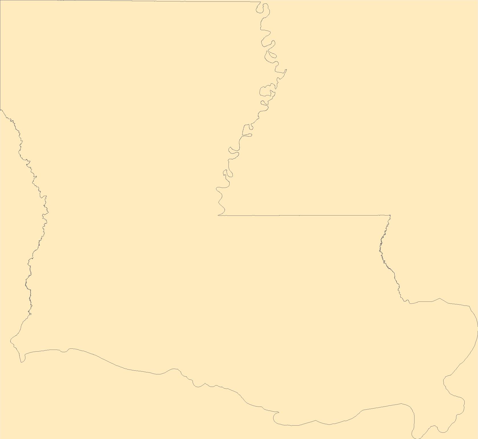
The Geographic Names Information System (GNIS) is the Federal standard for geographic nomenclature. The U.S. Geological Survey developed the GNIS for the U.S. Board on Geographic Names, a Federal inter-agency body chartered by public law to maintain uniform feature name usage throughout the Government and to promulgate standard names to the public. The GNIS is the official repository of domestic geographic names data; the official vehicle for geographic names use by all departments of the Federal Government; and the source for applying geographic names to Federal electronic and printed products of all types.
Tags: Acadia,
Allen,
Antarctica,
Antarctica,
Ascension, All tags...
Assumption,
Avoyelles,
BGN,
Beauregard,
Bienville,
Board on Geographic Names,
Borough,
Bossier,
Caddo,
Calcasieu,
Caldwell,
Cameron,
Catahoula,
Census Area,
Claiborne,
Commonwealth,
Concordia,
County,
De Soto,
District,
Downloadable Data,
East Baton Rouge,
East Carroll,
East Feliciana,
Evangeline,
Feature class,
Feature coordinates,
Feature county,
Feature description,
Feature designation,
Feature history,
Feature indentification,
Feature name,
Feature state,
Franklin,
GNIS,
GeoPackage,
Geographic Names,
Geographic Names Full Model,
Geographic Names Information System,
Geographic feature,
Geographic name,
Geographical feature,
Geographical name,
Grant,
Iberia,
Iberville,
Jackson,
Jefferson,
Jefferson Davis,
LA,
LaSalle,
Lafayette,
Lafourche,
Lincoln,
Livingston,
Louisiana,
Madison,
Morehouse,
Municipio,
Natchitoches,
National Geographic Names Information System (GNIS),
National Geographic Names Information System (GNIS),
Official feature name,
Open Geospatial Consortium GeoPackage 1.2,
Orleans,
Ouachita,
Outlying Area,
Parish,
Place name,
Plaquemines,
Pointe Coupee,
Populated Place,
Rapides,
Red River,
Richland,
Sabine,
St. Bernard,
St. Charles,
St. Helena,
St. James,
St. John the Baptist,
St. Landry,
St. Martin,
St. Mary,
St. Tammany,
State,
Tangipahoa,
Tensas,
Terrebonne,
Territories,
Territory,
Topographic Map,
U.S. Board on Geographic Names,
U.S. Geological Survey,
US,
USA,
USBGN,
USGS,
Union,
United States,
United States,
United States,
Variant name,
Vermilion,
Vernon,
Washington,
Webster,
West Baton Rouge,
West Carroll,
West Feliciana,
Winn,
antarctic,
database,
economy,
environment,
feature,
gazetteer,
geographic,
geographic names,
geographical,
geography,
geospatial,
imageryBaseMapsEarthCover,
inlandWaters,
location,
map,
name,
place,
placename,
society,
structure,
topographic map,
toponymy, Fewer tags
The Geographic Names Information System (GNIS) is the Federal standard for geographic nomenclature. The U.S. Geological Survey developed the GNIS for the U.S. Board on Geographic Names, a Federal inter-agency body chartered by public law to maintain uniform feature name usage throughout the Government and to promulgate standard names to the public. The GNIS is the official repository of domestic geographic names data; the official vehicle for geographic names use by all departments of the Federal Government; and the source for applying geographic names to Federal electronic and printed products of all types.
Tags: Antarctica,
Antarctica,
Aurora,
BGN,
Beadle, All tags...
Bennett,
Board on Geographic Names,
Bon Homme,
Borough,
Brookings,
Brown,
Brule,
Buffalo,
Butte,
Campbell,
Census Area,
Charles Mix,
Clark,
Clay,
Codington,
Commonwealth,
Corson,
County,
Custer,
Davison,
Day,
Deuel,
Dewey,
District,
Douglas,
Downloadable Data,
Edmunds,
Fall River,
Faulk,
Feature class,
Feature coordinates,
Feature county,
Feature description,
Feature designation,
Feature history,
Feature indentification,
Feature name,
Feature state,
GNIS,
GeoPackage,
Geographic Names,
Geographic Names Full Model,
Geographic Names Information System,
Geographic feature,
Geographic name,
Geographical feature,
Geographical name,
Grant,
Gregory,
Haakon,
Hamlin,
Hand,
Hanson,
Harding,
Hughes,
Hutchinson,
Hyde,
Jackson,
Jerauld,
Jones,
Kingsbury,
Lake,
Lawrence,
Lincoln,
Lyman,
Marshall,
McCook,
McPherson,
Meade,
Mellette,
Miner,
Minnehaha,
Moody,
Municipio,
National Geographic Names Information System (GNIS),
National Geographic Names Information System (GNIS),
Official feature name,
Oglala Lakota,
Open Geospatial Consortium GeoPackage 1.2,
Outlying Area,
Parish,
Pennington,
Perkins,
Place name,
Populated Place,
Potter,
Roberts,
SD,
Sanborn,
South Dakota,
Spink,
Stanley,
State,
Sully,
Territories,
Territory,
Todd,
Topographic Map,
Tripp,
Turner,
U.S. Board on Geographic Names,
U.S. Geological Survey,
US,
USA,
USBGN,
USGS,
Union,
United States,
United States,
United States,
Variant name,
Walworth,
Yankton,
Ziebach,
antarctic,
database,
economy,
environment,
feature,
gazetteer,
geographic,
geographic names,
geographical,
geography,
geospatial,
imageryBaseMapsEarthCover,
inlandWaters,
location,
map,
name,
place,
placename,
society,
structure,
topographic map,
toponymy, Fewer tags
|
|

