Filters
Date Range
Extensions
Types
Contacts
Categories
Tag Types
Tag Schemes
|
The Geographic Names Information System (GNIS) is the Federal standard for geographic nomenclature. The U.S. Geological Survey developed the GNIS for the U.S. Board on Geographic Names, a Federal inter-agency body chartered by public law to maintain uniform feature name usage throughout the Government and to promulgate standard names to the public. The GNIS is the official repository of domestic geographic names data; the official vehicle for geographic names use by all departments of the Federal Government; and the source for applying geographic names to Federal electronic and printed products of all types.
Tags: Antarctica,
Antarctica,
BGN,
Belknap,
Board on Geographic Names, All tags...
Borough,
Carroll,
Census Area,
Cheshire,
Commonwealth,
Coos,
County,
District,
Downloadable Data,
Feature class,
Feature coordinates,
Feature county,
Feature description,
Feature designation,
Feature history,
Feature indentification,
Feature name,
Feature state,
GNIS,
Geographic Names,
Geographic Names Domestic Names,
Geographic Names Information System,
Geographic feature,
Geographic name,
Geographical feature,
Geographical name,
Grafton,
Hillsborough,
Merrimack,
Municipio,
NH,
National Geographic Names Information System (GNIS),
National Geographic Names Information System (GNIS),
New Hampshire,
Official feature name,
Outlying Area,
Parish,
Place name,
Populated Place,
Rockingham,
State,
Strafford,
Sullivan,
TXT (pipes),
Territories,
Territory,
Topographic Map,
U.S. Board on Geographic Names,
U.S. Geological Survey,
US,
USA,
USBGN,
USGS,
UTF-8 Pipe Delimited Text File nan,
United States,
United States,
United States,
Variant name,
antarctic,
database,
economy,
environment,
feature,
gazetteer,
geographic,
geographic names,
geographical,
geography,
geospatial,
imageryBaseMapsEarthCover,
inlandWaters,
location,
map,
name,
place,
placename,
society,
structure,
topographic map,
toponymy, Fewer tags
The Geographic Names Information System (GNIS) is the Federal standard for geographic nomenclature. The U.S. Geological Survey developed the GNIS for the U.S. Board on Geographic Names, a Federal inter-agency body chartered by public law to maintain uniform feature name usage throughout the Government and to promulgate standard names to the public. The GNIS is the official repository of domestic geographic names data; the official vehicle for geographic names use by all departments of the Federal Government; and the source for applying geographic names to Federal electronic and printed products of all types.
Tags: Antarctica,
Antarctica,
Aurora,
BGN,
Beadle, All tags...
Bennett,
Board on Geographic Names,
Bon Homme,
Borough,
Brookings,
Brown,
Brule,
Buffalo,
Butte,
Campbell,
Census Area,
Charles Mix,
Clark,
Clay,
Codington,
Commonwealth,
Corson,
County,
Custer,
Davison,
Day,
Deuel,
Dewey,
District,
Douglas,
Downloadable Data,
Edmunds,
Fall River,
Faulk,
Feature class,
Feature coordinates,
Feature county,
Feature description,
Feature designation,
Feature history,
Feature indentification,
Feature name,
Feature state,
GNIS,
Geographic Names,
Geographic Names Domestic Names,
Geographic Names Information System,
Geographic feature,
Geographic name,
Geographical feature,
Geographical name,
Grant,
Gregory,
Haakon,
Hamlin,
Hand,
Hanson,
Harding,
Hughes,
Hutchinson,
Hyde,
Jackson,
Jerauld,
Jones,
Kingsbury,
Lake,
Lawrence,
Lincoln,
Lyman,
Marshall,
McCook,
McPherson,
Meade,
Mellette,
Miner,
Minnehaha,
Moody,
Municipio,
National Geographic Names Information System (GNIS),
National Geographic Names Information System (GNIS),
Official feature name,
Oglala Lakota,
Outlying Area,
Parish,
Pennington,
Perkins,
Place name,
Populated Place,
Potter,
Roberts,
SD,
Sanborn,
South Dakota,
Spink,
Stanley,
State,
Sully,
TXT (pipes),
Territories,
Territory,
Todd,
Topographic Map,
Tripp,
Turner,
U.S. Board on Geographic Names,
U.S. Geological Survey,
US,
USA,
USBGN,
USGS,
UTF-8 Pipe Delimited Text File nan,
Union,
United States,
United States,
United States,
Variant name,
Walworth,
Yankton,
Ziebach,
antarctic,
database,
economy,
environment,
feature,
gazetteer,
geographic,
geographic names,
geographical,
geography,
geospatial,
imageryBaseMapsEarthCover,
inlandWaters,
location,
map,
name,
place,
placename,
society,
structure,
topographic map,
toponymy, Fewer tags
The Geographic Names Information System (GNIS) is the Federal standard for geographic nomenclature. The U.S. Geological Survey developed the GNIS for the U.S. Board on Geographic Names, a Federal inter-agency body chartered by public law to maintain uniform feature name usage throughout the Government and to promulgate standard names to the public. The GNIS is the official repository of domestic geographic names data; the official vehicle for geographic names use by all departments of the Federal Government; and the source for applying geographic names to Federal electronic and printed products of all types.
Tags: Alcona,
Alger,
Allegan,
Alpena,
Antarctica, All tags...
Antarctica,
Antrim,
Arenac,
BGN,
Baraga,
Barry,
Bay,
Benzie,
Berrien,
Board on Geographic Names,
Borough,
Branch,
Calhoun,
Cass,
Census Area,
Charlevoix,
Cheboygan,
Chippewa,
Clare,
Clinton,
Commonwealth,
County,
Crawford,
Delta,
Dickinson,
District,
Downloadable Data,
Eaton,
Emmet,
Feature class,
Feature coordinates,
Feature county,
Feature description,
Feature designation,
Feature history,
Feature indentification,
Feature name,
Feature state,
GNIS,
Genesee,
Geographic Names,
Geographic Names Domestic Names,
Geographic Names Information System,
Geographic feature,
Geographic name,
Geographical feature,
Geographical name,
Gladwin,
Gogebic,
Grand Traverse,
Gratiot,
Hillsdale,
Houghton,
Huron,
Ingham,
Ionia,
Iosco,
Iron,
Isabella,
Jackson,
Kalamazoo,
Kalkaska,
Kent,
Keweenaw,
Lake,
Lapeer,
Leelanau,
Lenawee,
Livingston,
Luce,
MI,
Mackinac,
Macomb,
Manistee,
Marquette,
Mason,
Mecosta,
Menominee,
Michigan,
Midland,
Missaukee,
Monroe,
Montcalm,
Montmorency,
Municipio,
Muskegon,
National Geographic Names Information System (GNIS),
National Geographic Names Information System (GNIS),
Newaygo,
Oakland,
Oceana,
Official feature name,
Ogemaw,
Ontonagon,
Osceola,
Oscoda,
Otsego,
Ottawa,
Outlying Area,
Parish,
Place name,
Populated Place,
Presque Isle,
Roscommon,
Saginaw,
Sanilac,
Schoolcraft,
Shiawassee,
St. Clair,
St. Joseph,
State,
TXT (pipes),
Territories,
Territory,
Topographic Map,
Tuscola,
U.S. Board on Geographic Names,
U.S. Geological Survey,
US,
USA,
USBGN,
USGS,
UTF-8 Pipe Delimited Text File nan,
United States,
United States,
United States,
Van Buren,
Variant name,
Washtenaw,
Wayne,
Wexford,
antarctic,
database,
economy,
environment,
feature,
gazetteer,
geographic,
geographic names,
geographical,
geography,
geospatial,
imageryBaseMapsEarthCover,
inlandWaters,
location,
map,
name,
place,
placename,
society,
structure,
topographic map,
toponymy, Fewer tags
The Geographic Names Information System (GNIS) is the Federal standard for geographic nomenclature. The U.S. Geological Survey developed the GNIS for the U.S. Board on Geographic Names, a Federal inter-agency body chartered by public law to maintain uniform feature name usage throughout the Government and to promulgate standard names to the public. The GNIS is the official repository of domestic geographic names data; the official vehicle for geographic names use by all departments of the Federal Government; and the source for applying geographic names to Federal electronic and printed products of all types.
Tags: Adams,
Allen,
Antarctica,
Antarctica,
BGN, All tags...
Bartholomew,
Benton,
Blackford,
Board on Geographic Names,
Boone,
Borough,
Brown,
Carroll,
Cass,
Census Area,
Clark,
Clay,
Clinton,
Commonwealth,
County,
Crawford,
Daviess,
DeKalb,
Dearborn,
Decatur,
Delaware,
District,
Downloadable Data,
Dubois,
Elkhart,
Fayette,
Feature class,
Feature coordinates,
Feature county,
Feature description,
Feature designation,
Feature history,
Feature indentification,
Feature name,
Feature state,
Floyd,
Fountain,
Franklin,
Fulton,
GNIS,
GeoPackage,
Geographic Names,
Geographic Names Full Model,
Geographic Names Information System,
Geographic feature,
Geographic name,
Geographical feature,
Geographical name,
Gibson,
Grant,
Greene,
Hamilton,
Hancock,
Harrison,
Hendricks,
Henry,
Howard,
Huntington,
IN,
Indiana,
Jackson,
Jasper,
Jay,
Jefferson,
Jennings,
Johnson,
Knox,
Kosciusko,
LaGrange,
LaPorte,
Lake,
Lawrence,
Madison,
Marion,
Marshall,
Martin,
Miami,
Monroe,
Montgomery,
Morgan,
Municipio,
National Geographic Names Information System (GNIS),
National Geographic Names Information System (GNIS),
Newton,
Noble,
Official feature name,
Ohio,
Open Geospatial Consortium GeoPackage 1.2,
Orange,
Outlying Area,
Owen,
Parish,
Parke,
Perry,
Pike,
Place name,
Populated Place,
Porter,
Posey,
Pulaski,
Putnam,
Randolph,
Ripley,
Rush,
Scott,
Shelby,
Spencer,
St. Joseph,
Starke,
State,
Steuben,
Sullivan,
Switzerland,
Territories,
Territory,
Tippecanoe,
Tipton,
Topographic Map,
U.S. Board on Geographic Names,
U.S. Geological Survey,
US,
USA,
USBGN,
USGS,
Union,
United States,
United States,
United States,
Vanderburgh,
Variant name,
Vermillion,
Vigo,
Wabash,
Warren,
Warrick,
Washington,
Wayne,
Wells,
White,
Whitley,
antarctic,
database,
economy,
environment,
feature,
gazetteer,
geographic,
geographic names,
geographical,
geography,
geospatial,
imageryBaseMapsEarthCover,
inlandWaters,
location,
map,
name,
place,
placename,
society,
structure,
topographic map,
toponymy, Fewer tags
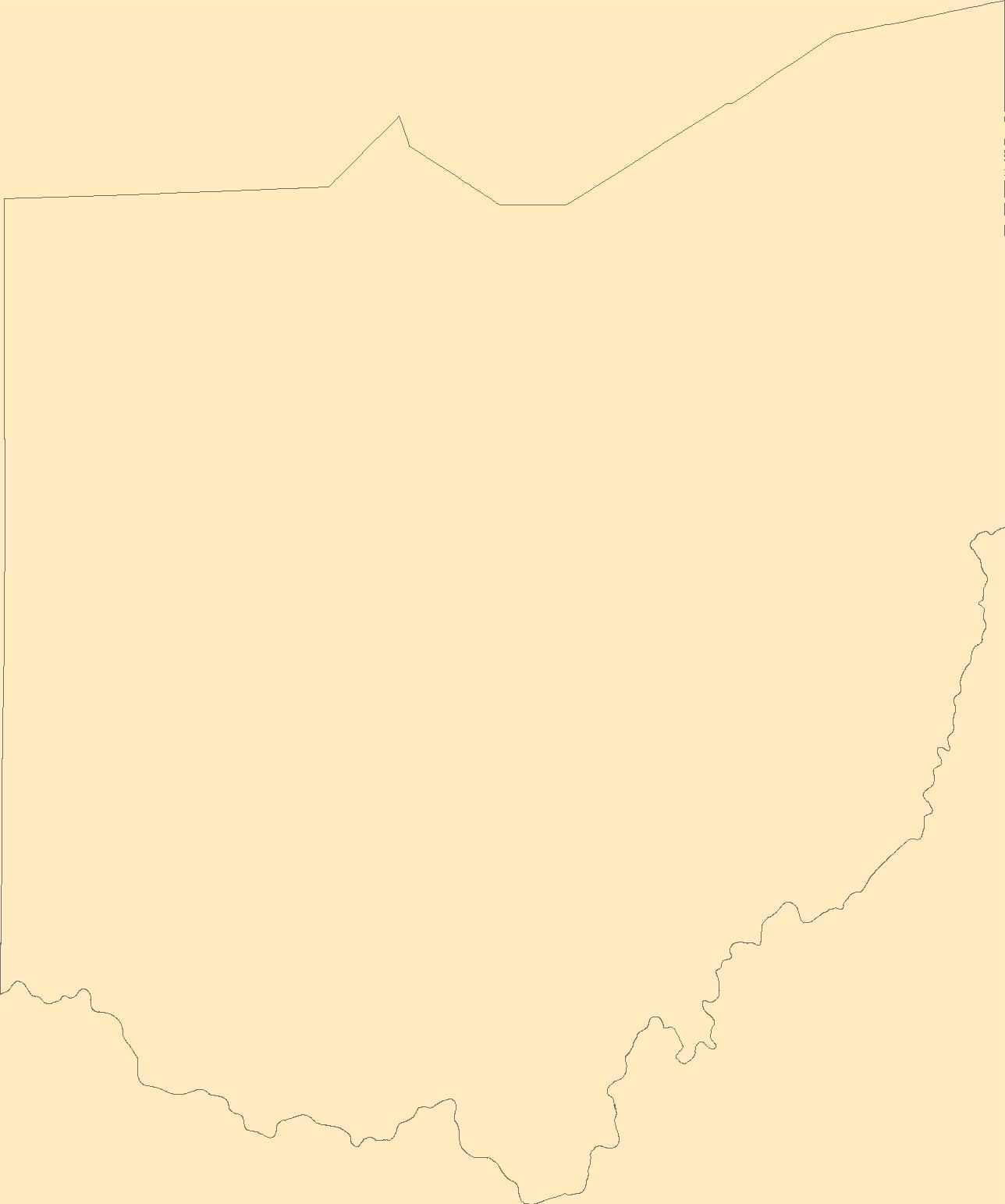
The Geographic Names Information System (GNIS) is the Federal standard for geographic nomenclature. The U.S. Geological Survey developed the GNIS for the U.S. Board on Geographic Names, a Federal inter-agency body chartered by public law to maintain uniform feature name usage throughout the Government and to promulgate standard names to the public. The GNIS is the official repository of domestic geographic names data; the official vehicle for geographic names use by all departments of the Federal Government; and the source for applying geographic names to Federal electronic and printed products of all types.
Tags: Adams,
Allen,
Antarctica,
Antarctica,
Ashland, All tags...
Ashtabula,
Athens,
Auglaize,
BGN,
Belmont,
Board on Geographic Names,
Borough,
Brown,
Butler,
Carroll,
Census Area,
Champaign,
Clark,
Clermont,
Clinton,
Columbiana,
Commonwealth,
Coshocton,
County,
Crawford,
Cuyahoga,
Darke,
Defiance,
Delaware,
District,
Downloadable Data,
Erie,
Esri File GeoDatabase 10,
Fairfield,
Fayette,
Feature class,
Feature coordinates,
Feature county,
Feature description,
Feature designation,
Feature history,
Feature indentification,
Feature name,
Feature state,
FileGDB,
Franklin,
Fulton,
GNIS,
Gallia,
Geauga,
Geographic Names,
Geographic Names Full Model,
Geographic Names Information System,
Geographic feature,
Geographic name,
Geographical feature,
Geographical name,
Greene,
Guernsey,
Hamilton,
Hancock,
Hardin,
Harrison,
Henry,
Highland,
Hocking,
Holmes,
Huron,
Jackson,
Jefferson,
Knox,
Lake,
Lawrence,
Licking,
Logan,
Lorain,
Lucas,
Madison,
Mahoning,
Marion,
Medina,
Meigs,
Mercer,
Miami,
Monroe,
Montgomery,
Morgan,
Morrow,
Municipio,
Muskingum,
National Geographic Names Information System (GNIS),
National Geographic Names Information System (GNIS),
Noble,
OH,
Official feature name,
Ohio,
Ottawa,
Outlying Area,
Parish,
Paulding,
Perry,
Pickaway,
Pike,
Place name,
Populated Place,
Portage,
Preble,
Putnam,
Richland,
Ross,
Sandusky,
Scioto,
Seneca,
Shelby,
Stark,
State,
Summit,
Territories,
Territory,
Topographic Map,
Trumbull,
Tuscarawas,
U.S. Board on Geographic Names,
U.S. Geological Survey,
US,
USA,
USBGN,
USGS,
Union,
United States,
United States,
United States,
Van Wert,
Variant name,
Vinton,
Warren,
Washington,
Wayne,
Williams,
Wood,
Wyandot,
antarctic,
database,
economy,
environment,
feature,
gazetteer,
geographic,
geographic names,
geographical,
geography,
geospatial,
imageryBaseMapsEarthCover,
inlandWaters,
location,
map,
name,
place,
placename,
society,
structure,
topographic map,
toponymy, Fewer tags
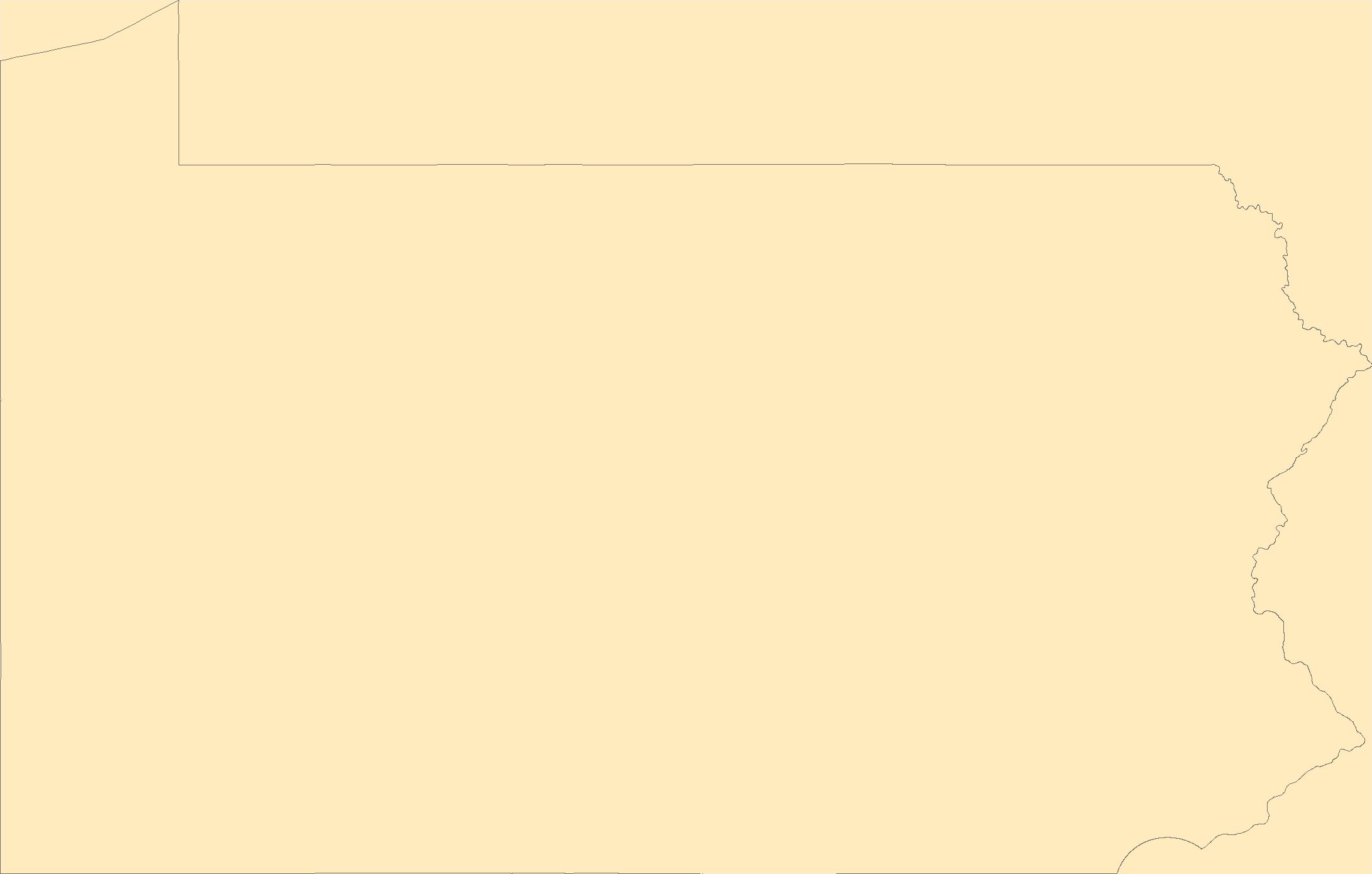
The Geographic Names Information System (GNIS) is the Federal standard for geographic nomenclature. The U.S. Geological Survey developed the GNIS for the U.S. Board on Geographic Names, a Federal inter-agency body chartered by public law to maintain uniform feature name usage throughout the Government and to promulgate standard names to the public. The GNIS is the official repository of domestic geographic names data; the official vehicle for geographic names use by all departments of the Federal Government; and the source for applying geographic names to Federal electronic and printed products of all types.
Tags: Adams,
Allegheny,
Antarctica,
Antarctica,
Armstrong, All tags...
BGN,
Beaver,
Bedford,
Berks,
Blair,
Board on Geographic Names,
Borough,
Bradford,
Bucks,
Butler,
Cambria,
Cameron,
Carbon,
Census Area,
Centre,
Chester,
Clarion,
Clearfield,
Clinton,
Columbia,
Commonwealth,
County,
Crawford,
Cumberland,
Dauphin,
Delaware,
District,
Downloadable Data,
Elk,
Erie,
Esri File GeoDatabase 10,
Fayette,
Feature class,
Feature coordinates,
Feature county,
Feature description,
Feature designation,
Feature history,
Feature indentification,
Feature name,
Feature state,
FileGDB,
Forest,
Franklin,
Fulton,
GNIS,
Geographic Names,
Geographic Names Full Model,
Geographic Names Information System,
Geographic feature,
Geographic name,
Geographical feature,
Geographical name,
Greene,
Huntingdon,
Indiana,
Jefferson,
Juniata,
Lackawanna,
Lancaster,
Lawrence,
Lebanon,
Lehigh,
Luzerne,
Lycoming,
McKean,
Mercer,
Mifflin,
Monroe,
Montgomery,
Montour,
Municipio,
National Geographic Names Information System (GNIS),
National Geographic Names Information System (GNIS),
Northampton,
Northumberland,
Official feature name,
Outlying Area,
PA,
Parish,
Pennsylvania,
Perry,
Philadelphia,
Pike,
Place name,
Populated Place,
Potter,
Schuylkill,
Snyder,
Somerset,
State,
Sullivan,
Susquehanna,
Territories,
Territory,
Tioga,
Topographic Map,
U.S. Board on Geographic Names,
U.S. Geological Survey,
US,
USA,
USBGN,
USGS,
Union,
United States,
United States,
United States,
Variant name,
Venango,
Warren,
Washington,
Wayne,
Westmoreland,
Wyoming,
York,
antarctic,
database,
economy,
environment,
feature,
gazetteer,
geographic,
geographic names,
geographical,
geography,
geospatial,
imageryBaseMapsEarthCover,
inlandWaters,
location,
map,
name,
place,
placename,
society,
structure,
topographic map,
toponymy, Fewer tags
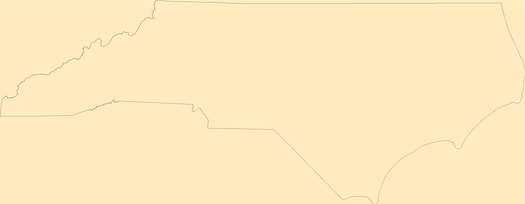
The Geographic Names Information System (GNIS) is the Federal standard for geographic nomenclature. The U.S. Geological Survey developed the GNIS for the U.S. Board on Geographic Names, a Federal inter-agency body chartered by public law to maintain uniform feature name usage throughout the Government and to promulgate standard names to the public. The GNIS is the official repository of domestic geographic names data; the official vehicle for geographic names use by all departments of the Federal Government; and the source for applying geographic names to Federal electronic and printed products of all types.
Tags: Alamance,
Alexander,
Alleghany,
Anson,
Antarctica, All tags...
Antarctica,
Ashe,
Avery,
BGN,
Beaufort,
Bertie,
Bladen,
Board on Geographic Names,
Borough,
Brunswick,
Buncombe,
Burke,
Cabarrus,
Caldwell,
Camden,
Carteret,
Caswell,
Catawba,
Census Area,
Chatham,
Cherokee,
Chowan,
Clay,
Cleveland,
Columbus,
Commonwealth,
County,
Craven,
Cumberland,
Currituck,
Dare,
Davidson,
Davie,
District,
Downloadable Data,
Duplin,
Durham,
Edgecombe,
Feature class,
Feature coordinates,
Feature county,
Feature description,
Feature designation,
Feature history,
Feature indentification,
Feature name,
Feature state,
Forsyth,
Franklin,
GNIS,
Gaston,
Gates,
GeoPackage,
Geographic Names,
Geographic Names Full Model,
Geographic Names Information System,
Geographic feature,
Geographic name,
Geographical feature,
Geographical name,
Graham,
Granville,
Greene,
Guilford,
Halifax,
Harnett,
Haywood,
Henderson,
Hertford,
Hoke,
Hyde,
Iredell,
Jackson,
Johnston,
Jones,
Lee,
Lenoir,
Lincoln,
Macon,
Madison,
Martin,
McDowell,
Mecklenburg,
Mitchell,
Montgomery,
Moore,
Municipio,
NC,
Nash,
National Geographic Names Information System (GNIS),
National Geographic Names Information System (GNIS),
New Hanover,
North Carolina,
Northampton,
Official feature name,
Onslow,
Open Geospatial Consortium GeoPackage 1.2,
Orange,
Outlying Area,
Pamlico,
Parish,
Pasquotank,
Pender,
Perquimans,
Person,
Pitt,
Place name,
Polk,
Populated Place,
Randolph,
Richmond,
Robeson,
Rockingham,
Rowan,
Rutherford,
Sampson,
Scotland,
Stanly,
State,
Stokes,
Surry,
Swain,
Territories,
Territory,
Topographic Map,
Transylvania,
Tyrrell,
U.S. Board on Geographic Names,
U.S. Geological Survey,
US,
USA,
USBGN,
USGS,
Union,
United States,
United States,
United States,
Vance,
Variant name,
Wake,
Warren,
Washington,
Watauga,
Wayne,
Wilkes,
Wilson,
Yadkin,
Yancey,
antarctic,
database,
economy,
environment,
feature,
gazetteer,
geographic,
geographic names,
geographical,
geography,
geospatial,
imageryBaseMapsEarthCover,
inlandWaters,
location,
map,
name,
place,
placename,
society,
structure,
topographic map,
toponymy, Fewer tags
The Geographic Names Information System (GNIS) is the Federal standard for geographic nomenclature. The U.S. Geological Survey developed the GNIS for the U.S. Board on Geographic Names, a Federal inter-agency body chartered by public law to maintain uniform feature name usage throughout the Government and to promulgate standard names to the public. The GNIS is the official repository of domestic geographic names data; the official vehicle for geographic names use by all departments of the Federal Government; and the source for applying geographic names to Federal electronic and printed products of all types.
Tags: Anderson,
Antarctica,
Antarctica,
BGN,
Bedford, All tags...
Benton,
Bledsoe,
Blount,
Board on Geographic Names,
Borough,
Bradley,
Campbell,
Cannon,
Carroll,
Carter,
Census Area,
Cheatham,
Chester,
Claiborne,
Clay,
Cocke,
Coffee,
Commonwealth,
County,
Crockett,
Cumberland,
Davidson,
DeKalb,
Decatur,
Dickson,
District,
Downloadable Data,
Dyer,
Esri File GeoDatabase 10,
Fayette,
Feature class,
Feature coordinates,
Feature county,
Feature description,
Feature designation,
Feature history,
Feature indentification,
Feature name,
Feature state,
Fentress,
FileGDB,
Franklin,
GNIS,
Geographic Names,
Geographic Names Full Model,
Geographic Names Information System,
Geographic feature,
Geographic name,
Geographical feature,
Geographical name,
Gibson,
Giles,
Grainger,
Greene,
Grundy,
Hamblen,
Hamilton,
Hancock,
Hardeman,
Hardin,
Hawkins,
Haywood,
Henderson,
Henry,
Hickman,
Houston,
Humphreys,
Jackson,
Jefferson,
Johnson,
Knox,
Lake,
Lauderdale,
Lawrence,
Lewis,
Lincoln,
Loudon,
Macon,
Madison,
Marion,
Marshall,
Maury,
McMinn,
McNairy,
Meigs,
Monroe,
Montgomery,
Moore,
Morgan,
Municipio,
National Geographic Names Information System (GNIS),
National Geographic Names Information System (GNIS),
Obion,
Official feature name,
Outlying Area,
Overton,
Parish,
Perry,
Pickett,
Place name,
Polk,
Populated Place,
Putnam,
Rhea,
Roane,
Robertson,
Rutherford,
Scott,
Sequatchie,
Sevier,
Shelby,
Smith,
State,
Stewart,
Sullivan,
Sumner,
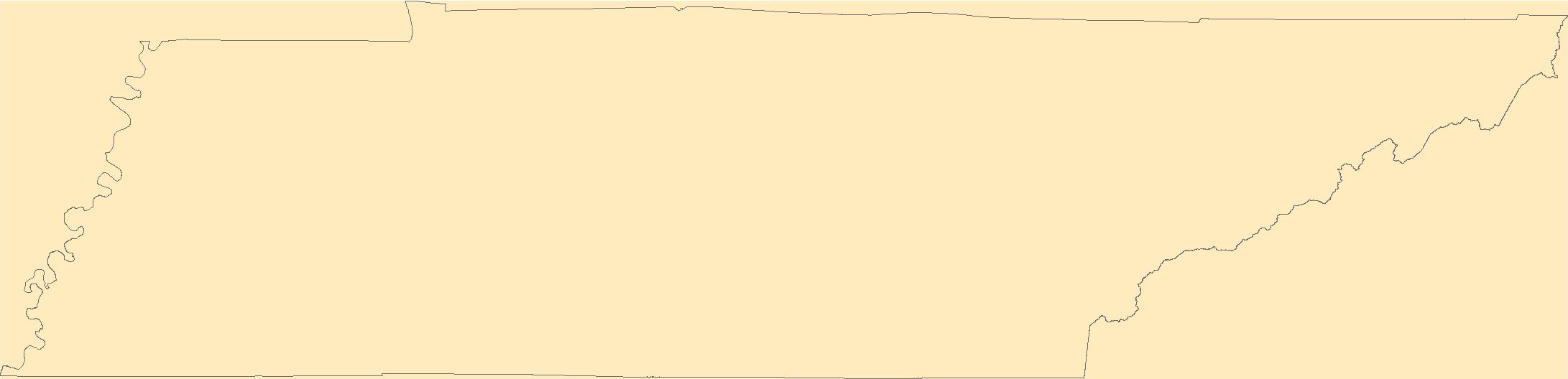
TN,
Tennessee,
Territories,
Territory,
Tipton,
Topographic Map,
Trousdale,
U.S. Board on Geographic Names,
U.S. Geological Survey,
US,
USA,
USBGN,
USGS,
Unicoi,
Union,
United States,
United States,
United States,
Van Buren,
Variant name,
Warren,
Washington,
Wayne,
Weakley,
White,
Williamson,
Wilson,
antarctic,
database,
economy,
environment,
feature,
gazetteer,
geographic,
geographic names,
geographical,
geography,
geospatial,
imageryBaseMapsEarthCover,
inlandWaters,
location,
map,
name,
place,
placename,
society,
structure,
topographic map,
toponymy, Fewer tags
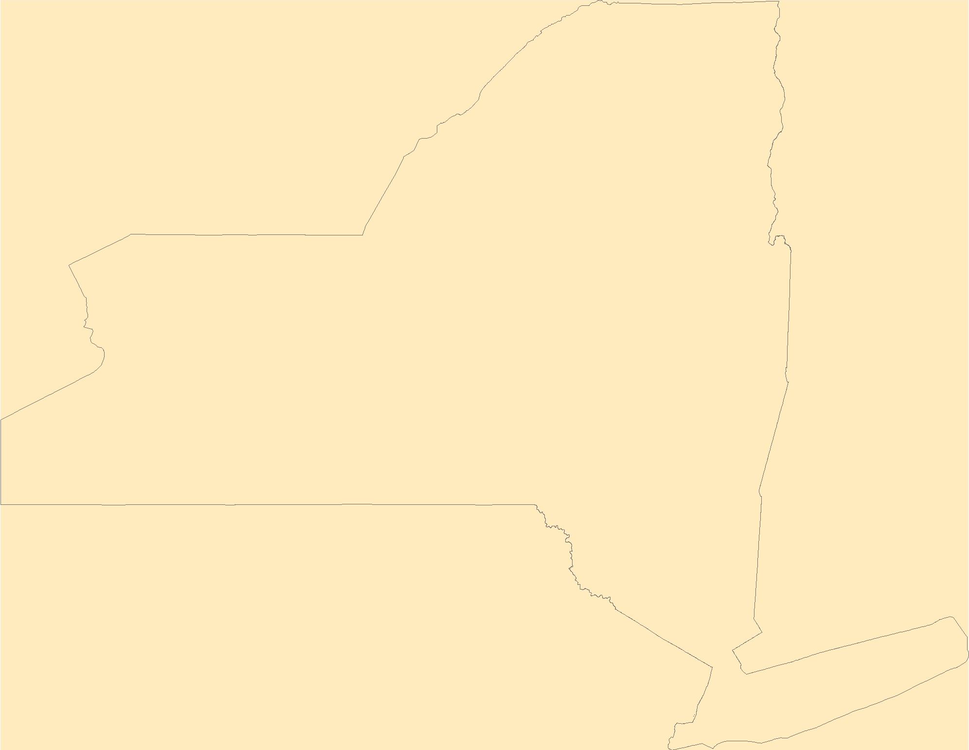
The Geographic Names Information System (GNIS) is the Federal standard for geographic nomenclature. The U.S. Geological Survey developed the GNIS for the U.S. Board on Geographic Names, a Federal inter-agency body chartered by public law to maintain uniform feature name usage throughout the Government and to promulgate standard names to the public. The GNIS is the official repository of domestic geographic names data; the official vehicle for geographic names use by all departments of the Federal Government; and the source for applying geographic names to Federal electronic and printed products of all types.
Tags: Albany,
Allegany,
Antarctica,
Antarctica,
BGN, All tags...
Board on Geographic Names,
Borough,
Bronx,
Broome,
Cattaraugus,
Cayuga,
Census Area,
Chautauqua,
Chemung,
Chenango,
Clinton,
Columbia,
Commonwealth,
Cortland,
County,
Delaware,
District,
Downloadable Data,
Dutchess,
Erie,
Essex,
Feature class,
Feature coordinates,
Feature county,
Feature description,
Feature designation,
Feature history,
Feature indentification,
Feature name,
Feature state,
Franklin,
Fulton,
GNIS,
Genesee,
GeoPackage,
Geographic Names,
Geographic Names Full Model,
Geographic Names Information System,
Geographic feature,
Geographic name,
Geographical feature,
Geographical name,
Greene,
Hamilton,
Herkimer,
Jefferson,
Kings,
Lewis,
Livingston,
Madison,
Monroe,
Montgomery,
Municipio,
NY,
Nassau,
National Geographic Names Information System (GNIS),
National Geographic Names Information System (GNIS),
New York,
New York,
Niagara,
Official feature name,
Oneida,
Onondaga,
Ontario,
Open Geospatial Consortium GeoPackage 1.2,
Orange,
Orleans,
Oswego,
Otsego,
Outlying Area,
Parish,
Place name,
Populated Place,
Putnam,
Queens,
Rensselaer,
Richmond,
Rockland,
Saratoga,
Schenectady,
Schoharie,
Schuyler,
Seneca,
St. Lawrence,
State,
Steuben,
Suffolk,
Sullivan,
Territories,
Territory,
Tioga,
Tompkins,
Topographic Map,
U.S. Board on Geographic Names,
U.S. Geological Survey,
US,
USA,
USBGN,
USGS,
Ulster,
United States,
United States,
United States,
Variant name,
Warren,
Washington,
Wayne,
Westchester,
Wyoming,
Yates,
antarctic,
database,
economy,
environment,
feature,
gazetteer,
geographic,
geographic names,
geographical,
geography,
geospatial,
imageryBaseMapsEarthCover,
inlandWaters,
location,
map,
name,
place,
placename,
society,
structure,
topographic map,
toponymy, Fewer tags
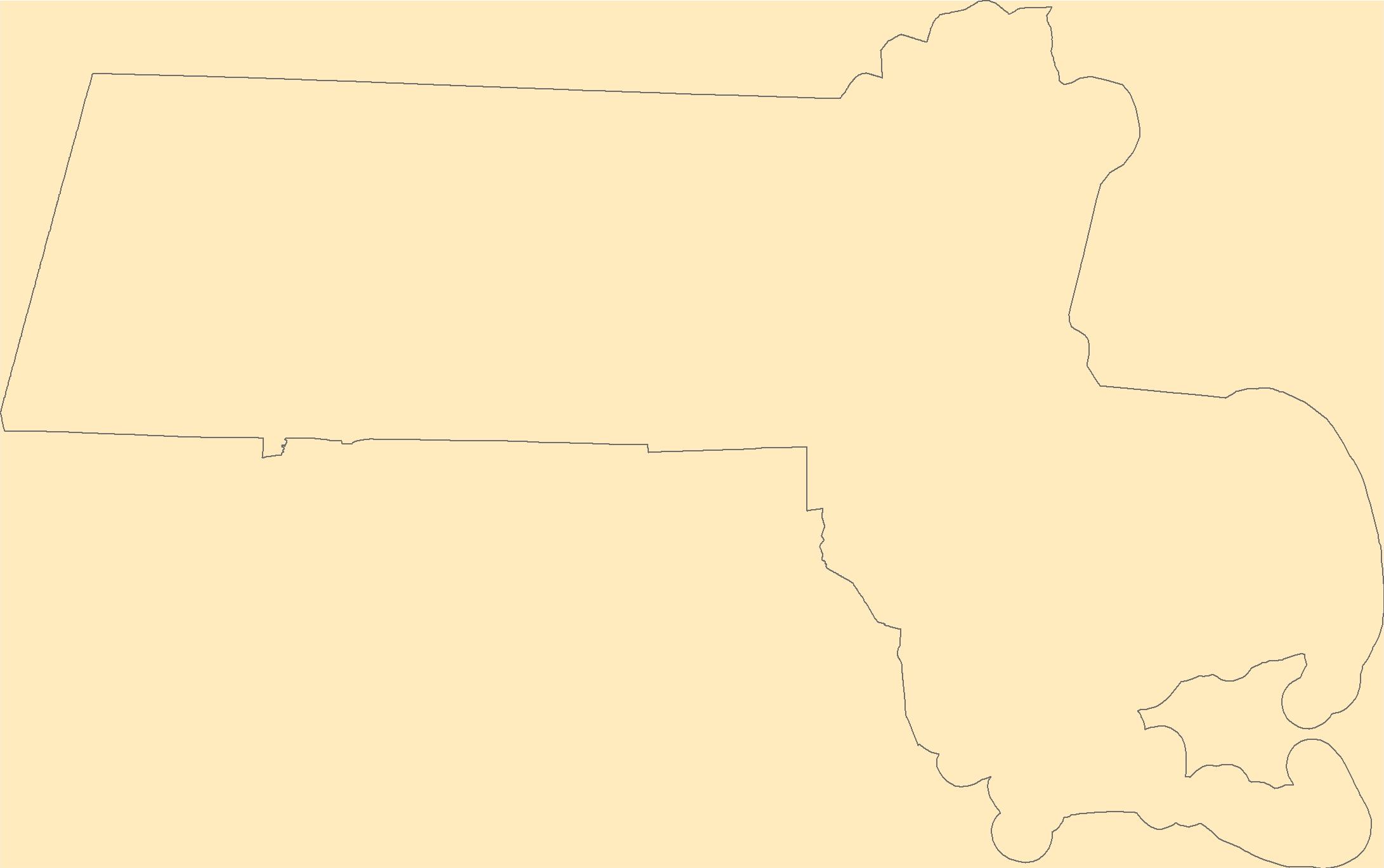
The Geographic Names Information System (GNIS) is the Federal standard for geographic nomenclature. The U.S. Geological Survey developed the GNIS for the U.S. Board on Geographic Names, a Federal inter-agency body chartered by public law to maintain uniform feature name usage throughout the Government and to promulgate standard names to the public. The GNIS is the official repository of domestic geographic names data; the official vehicle for geographic names use by all departments of the Federal Government; and the source for applying geographic names to Federal electronic and printed products of all types.
Tags: Antarctica,
Antarctica,
BGN,
Barnstable,
Berkshire, All tags...
Board on Geographic Names,
Borough,
Bristol,
Census Area,
Commonwealth,
County,
District,
Downloadable Data,
Dukes,
Essex,
Feature class,
Feature coordinates,
Feature county,
Feature description,
Feature designation,
Feature history,
Feature indentification,
Feature name,
Feature state,
Franklin,
GNIS,
GeoPackage,
Geographic Names,
Geographic Names Full Model,
Geographic Names Information System,
Geographic feature,
Geographic name,
Geographical feature,
Geographical name,
Hampden,
Hampshire,
MA,
Massachusetts,
Middlesex,
Municipio,
Nantucket,
National Geographic Names Information System (GNIS),
National Geographic Names Information System (GNIS),
Norfolk,
Official feature name,
Open Geospatial Consortium GeoPackage 1.2,
Outlying Area,
Parish,
Place name,
Plymouth,
Populated Place,
State,
Suffolk,
Territories,
Territory,
Topographic Map,
U.S. Board on Geographic Names,
U.S. Geological Survey,
US,
USA,
USBGN,
USGS,
United States,
United States,
United States,
Variant name,
Worcester,
antarctic,
database,
economy,
environment,
feature,
gazetteer,
geographic,
geographic names,
geographical,
geography,
geospatial,
imageryBaseMapsEarthCover,
inlandWaters,
location,
map,
name,
place,
placename,
society,
structure,
topographic map,
toponymy, Fewer tags

The Geographic Names Information System (GNIS) is the Federal standard for geographic nomenclature. The U.S. Geological Survey developed the GNIS for the U.S. Board on Geographic Names, a Federal inter-agency body chartered by public law to maintain uniform feature name usage throughout the Government and to promulgate standard names to the public. The GNIS is the official repository of domestic geographic names data; the official vehicle for geographic names use by all departments of the Federal Government; and the source for applying geographic names to Federal electronic and printed products of all types.
Tags: Antarctica,
Antarctica,
BGN,
Board on Geographic Names,
Borough, All tags...
Census Area,
Commonwealth,
County,
District,
Downloadable Data,
Feature class,
Feature coordinates,
Feature county,
Feature description,
Feature designation,
Feature history,
Feature indentification,
Feature name,
Feature state,
GNIS,
GeoPackage,
Geographic Names,
Geographic Names Full Model,
Geographic Names Information System,
Geographic feature,
Geographic name,
Geographical feature,
Geographical name,
Municipio,
National Geographic Names Information System (GNIS),
National Geographic Names Information System (GNIS),
Official feature name,
Open Geospatial Consortium GeoPackage 1.2,
Outlying Area,
Parish,
Place name,
Populated Place,
St. Croix,
St. John,
St. Thomas,
State,
Territories,
Territory,
Topographic Map,
U.S. Board on Geographic Names,
U.S. Geological Survey,
US,
USA,
USBGN,
USGS,
United States,
United States,
United States,
VI,
Variant name,
Virgin Islands,
antarctic,
database,
economy,
environment,
feature,
gazetteer,
geographic,
geographic names,
geographical,
geography,
geospatial,
imageryBaseMapsEarthCover,
inlandWaters,
location,
map,
name,
place,
placename,
society,
structure,
topographic map,
toponymy, Fewer tags

In 1998, the Florida Fish and Wildlife Conservation Commission's (FWC) Fisheries Independent Monitoring (FIM) program began a long-term monitoring effort of key reef fish populations in the Florida Keys National Marine Sanctuary. This effort was aimed at evaluating the relative abundance, size structure, and habitat utilization of specific reef fish species that are targeted by commercial and recreational fisheries.; Smith, S.G., et al. 2011, Multispecies survey design for assessing reef-fish stocks, spatially explicit management performance, and ecosystem condition. Fisheries Research 109(2011)25-41; Brandt, M.E., et. al. 2009, A Cooperative Multi-agency Reef Fish Monitoring Protocol for the Florida Keys Coral...
Categories: Data;
Types: NetCDF OPeNDAP Service;
Tags: Florida Keys National Marine Sanctuaries Reef Fish Monitoring,
array,
array-data,
basis,
basisOfRecord, All tags...
bibliographic,
bibliographiccitation,
body,
citation,
class,
code,
collection,
collectionCode,
comprehensive,
coordinate,
coordinateUncertaintyInMeters,
count,
country,
data,
data_set_ID,
data_set_name,
dataset,
datasetID,
datasetName,
date,
datum,
dep,
depth,
dynamic,
dynamicProperties,
event,
eventDate,
eventDateRemarks,
eventDateTimeZone,
eventdate,
eventdatetimezone,
family,
fish,
fish sampling,
florida,
florida keys,
genus,
geodetic,
geodeticDatum,
geoscientificInformation,
gulf of mexico,
habitat,
higher,
higherInstitutionCode,
identification,
identifier,
individual,
institution,
institutionCode,
keys,
kingdom,
large,
latitude,
length,
locality,
longitude,
marine,
material,
materialSampleID,
max,
maximum,
maximumDepthInMeters,
meters,
min,
minimum,
minimumDepthInMeters,
miniumDepthInMeters,
monitoring,
name,
national,
number,
observed,
observedIndividualLengthInCm,
observedMeanLengthInCm,
order,
owner,
ownerInstitutionCode,
phylum,
properties,
province,
quality,
quantificationMethod,
quantificationName,
quantificationStatus,
quantificationUnit,
quantificationValue,
rank,
record,
recorded,
recordedBy,
reef,
sample,
samples,
sanctuaries,
scientific,
scientificName,
sea,
seawater,
service,
set,
specificEpithet,
state,
stateProvince,
statistics,
status,
stewardship,
system,
taxon,
taxonRank,
taxonomy,
time,
timeUncertainty,
timeseries,
timeuncertainty,
type,
typeStatus,
uncertainty,
vernacular,
vernacularName,
verticalDatum,
water,
waterBody,
waterbody,
zone, Fewer tags

The purpose of the Coral Reef Evaluation and Monitoring Project (CREMP) is to monitor the status and trends of selected reefs in the Florida Keys National Marine Sanctuary(FKNMS). CREMP assessments have been conducted annually at fixed sites since 1996 and data collected provides information on the temporal changes in benthic cover and diversity of stony corals and associated marine flora and fauna. The core field methods continue to be underwater videography and timed coral species inventories. Findings presented in this report include data from 109 stations at 37 sites sampled from 1996 through 2008 in the Florida Keys and 1999 through 2008 in the Dry Tortugas. The report describes the annual differences (between...
Categories: Data;
Types: NetCDF OPeNDAP Service;
Tags: Coral Reef Evaluation and Monitoring Project Florida Keys 2000,
about,
absence,
accepted,
acceptedNameAuthorship, All tags...
acceptedNameUsage,
acceptedNameUsageID,
accepted_aphia_database_identification_number,
accepted_authorship_information,
accepted_name_usage,
aphia,
aphia_database_identification_number,
area,
array,
array-data,
authorship,
authorship_information,
basis,
basis of record,
basis of record,
basisOfRecord,
biogeographic,
biology,
class,
class,
commission,
common,
comprehensive,
conservation,
coral,
coral monitoring,
coverage,
cremp,
data,
data_set_identification,
database,
dataset,
date,
dry tortugas,
evaluation,
event,
eventID,
eventdate,
eventdate,
family,
family,
fish,
florida,
florida keys,
fwc,
fwc-fwri,
fwri,
genus,
genus,
geoscientificInformation,
gulf of mexico,
habitatid,
hierarchy,
identification,
identifier,
information,
institute,
keys,
kingdom,
kingdom,
large,
latitude,
longitude,
marine,
meters,
monitoring,
name,
number,
obis,
occurrence,
occurrenceID,
occurrenceStatus,
occurrence_identification,
ocean,
order,
order,
organism,
organismQuantity,
organismQuantityType,
organism_per_sample_area,
per,
percent,
percent_coverage,
phylum,
phylum,
presence,
project,
rank,
record,
recorded,
recordedBy,
reef,
register,
research,
revisited,
sample,
samples,
scientific,
scientificNameAuthorship,
scientific_name,
scientificname,
scientificnameid,
service,
set,
sitecode,
siteid,
species,
species_name,
specificEpithet,
square,
statement,
station,
status,
stewardship,
subregionid,
system,
taxon,
taxonRank,
taxon_rank,
taxon_status,
taxonomic,
taxonomicStatus,
taxonomy,
time,
unaccepted,
usage,
v2.3,
value,
vernacular,
vernacularName,
vernacular_name,
wildlife,
world,
worms,
year, Fewer tags

In 1998, the Florida Fish and Wildlife Conservation Commission's (FWC) Fisheries Independent Monitoring (FIM) program began a long-term monitoring effort of key reef fish populations in the Florida Keys National Marine Sanctuary. This effort was aimed at evaluating the relative abundance, size structure, and habitat utilization of specific reef fish species that are targeted by commercial and recreational fisheries. The data may be used and redistributed for free but is not intended for legal use, since it may contain inaccuracies. Neither the data Contributor, ERD, NOAA, nor the United States Government, nor any of their employees or contractors, makes any warranty, express or implied, including warranties...
Categories: Data;
Types: NetCDF OPeNDAP Service;
Tags: Florida Keys National Marine Sanctuaries Reef Fish Monitoring,
array,
array-data,
basis,
basisOfRecord, All tags...
bibliographic,
bibliographiccitation,
body,
citation,
class,
code,
collection,
collectionCode,
comprehensive,
coordinate,
coordinateUncertaintyInMeters,
count,
country,
data,
data_set_ID,
data_set_name,
dataset,
datasetID,
datasetName,
date,
datum,
dep,
depth,
dynamic,
dynamicProperties,
event,
eventDate,
eventDateRemarks,
eventDateTimeZone,
eventdate,
eventdatetimezone,
family,
fish,
fish sampling,
florida,
florida keys,
genus,
geodetic,
geodeticDatum,
geoscientificInformation,
gulf of mexico,
habitat,
higher,
higherInstitutionCode,
identification,
identifier,
individual,
institution,
institutionCode,
keys,
kingdom,
large,
latitude,
length,
locality,
longitude,
marine,
material,
materialSampleID,
max,
maximum,
maximumDepthInMeters,
meters,
min,
minimum,
minimumDepthInMeters,
miniumDepthInMeters,
monitoring,
name,
national,
number,
observed,
observedIndividualLengthInCm,
observedMeanLengthInCm,
order,
owner,
ownerInstitutionCode,
phylum,
properties,
province,
quality,
quantificationMethod,
quantificationName,
quantificationStatus,
quantificationUnit,
quantificationValue,
rank,
record,
recorded,
recordedBy,
reef,
sample,
samples,
sanctuaries,
scientific,
scientificName,
sea,
seawater,
service,
set,
specificEpithet,
state,
stateProvince,
statistics,
status,
stewardship,
system,
taxon,
taxonRank,
taxonomy,
time,
timeUncertainty,
timeseries,
timeuncertainty,
type,
typeStatus,
uncertainty,
vernacular,
vernacularName,
verticalDatum,
water,
waterBody,
waterbody,
zone, Fewer tags

In 1998, the Florida Fish and Wildlife Conservation Commission's (FWC) Fisheries Independent Monitoring (FIM) program began a long-term monitoring effort of key reef fish populations in the Florida Keys National Marine Sanctuary. This effort was aimed at evaluating the relative abundance, size structure, and habitat utilization of specific reef fish species that are targeted by commercial and recreational fisheries.; Smith, S.G., et al. 2011, Multispecies survey design for assessing reef-fish stocks, spatially explicit management performance, and ecosystem condition. Fisheries Research 109(2011)25-41; Brandt, M.E., et. al. 2009, A Cooperative Multi-agency Reef Fish Monitoring Protocol for the Florida Keys Coral...
Categories: Data;
Types: NetCDF OPeNDAP Service;
Tags: Florida Keys National Marine Sanctuaries Reef Fish Monitoring,
array,
array-data,
basis,
basisOfRecord, All tags...
bibliographic,
bibliographiccitation,
body,
citation,
class,
code,
collection,
collectionCode,
comprehensive,
coordinate,
coordinateUncertaintyInMeters,
count,
country,
data,
dataSetID,
data_set_name,
dataset,
datasetName,
date,
datum,
dep,
depth,
dynamic,
dynamicProperties,
event,
eventDate,
eventDateRemarks,
eventDateTimeZone,
eventdate,
eventdatetimezone,
family,
fish,
fish sampling,
florida,
florida keys,
genus,
geodetic,
geodeticDatum,
geoscientificInformation,
gulf of mexico,
habitat,
higher,
higherInstitutionCode,
identification,
identifier,
individual,
institution,
institutionCode,
keys,
kingdom,
large,
latitude,
length,
locality,
longitude,
marine,
material,
materialSampleID,
max,
maximum,
maximumDepthInMeters,
meters,
min,
minimum,
minimumDepthInMeters,
miniumDepthInMeters,
monitoring,
name,
national,
number,
observed,
observedIndividualLengthInCm,
observedMeanLengthInCm,
order,
owner,
ownerInstitutionCode,
phylum,
properties,
province,
quality,
quantificationMethod,
quantificationName,
quantificationStatus,
quantificationUnit,
quantificationValue,
rank,
record,
recorded,
recordedBy,
reef,
sample,
samples,
sanctuaries,
scientific,
scientificName,
sea,
seawater,
service,
set,
state,
stateProvince,
statistics,
status,
stewardship,
system,
taxon,
taxonRank,
taxonomy,
time,
timeUncertainty,
timeseries,
timeuncertainty,
type,
typeStatus,
uncertainty,
vernacular,
vernacularName,
verticalDatum,
water,
waterBody,
waterbody,
zone, Fewer tags

The purpose of the Coral Reef Evaluation and Monitoring Project (CREMP) is to monitor the status and trends of selected reefs in the Florida Keys National Marine Sanctuary(FKNMS).CREMP assessments have been conducted annually at fixed sites since 1996 and data collectedprovides information on the temporal changes in benthic cover and diversity of stony corals andassociated marine flora and fauna. The core field methods continue to be underwatervideography and timed coral species inventories. Findings presented in this report include datafrom 109 stations at 37 sites sampled from 1996 through 2008 in the Florida Keys and 1999 through 2008 in the Dry Tortugas. The report describes the annual differences (between 2007...
Categories: Data;
Types: NetCDF OPeNDAP Service;
Tags: Coral Reef Evaluation and Monitoring Project (CREMP),
about,
absence,
accepted,
acceptedNameAuthorship, All tags...
acceptedNameUsage,
acceptedNameUsageID,
accepted_aphia_database_identification_number,
accepted_authorship_information,
accepted_name_usage,
aphia,
aphia_database_identification_number,
area,
array,
array-data,
associatedreferences,
associatedreferences,
authorship,
authorship_information,
basis,
basis of record,
basis of record,
basisOfRecord,
biogeographic,
biology,
class,
class,
commission,
common,
comprehensive,
conservation,
coral,
coral monitoring,
coverage,
cremp,
data,
data_set_identification,
data_set_name,
database,
dataset,
dataset,
datasetName,
date,
dry,
dry tortugas,
evaluation,
event,
eventID,
eventdate,
eventdate,
family,
family,
fish,
florida,
florida keys,
fwc,
fwc-fwri,
fwri,
genus,
genus,
geoscientificInformation,
gulf of mexico,
habitatid,
hierarchy,
identification,
identifier,
information,
institute,
kingdom,
kingdom,
large,
latitude,
longitude,
marine,
meters,
monitoring,
name,
number,
obis,
occurrence,
occurrenceID,
occurrenceStatus,
occurrence_identification,
ocean,
order,
order,
organism,
organismQuantity,
organismQuantityType,
organism_per_sample_area,
per,
percent,
percent_coverage,
phylum,
phylum,
presence,
project,
rank,
record,
recorded,
recordedBy,
reef,
register,
research,
revisited,
sample,
samples,
scientific,
scientificNameAuthorship,
scientific_name,
scientificname,
scientificnameid,
service,
set,
sitecode,
siteid,
species,
species_name,
specificEpithet,
square,
statement,
station,
status,
stewardship,
subregionid,
system,
taxon,
taxonRank,
taxon_rank,
taxon_status,
taxonomic,
taxonomicStatus,
taxonomic_status,
taxonomy,
time,
tortugas,
unaccepted,
usage,
v2.3,
value,
vernacular,
vernacularName,
vernacular_name,
wildlife,
world,
worms,
year, Fewer tags

The purpose of the Coral Reef Evaluation and Monitoring Project (CREMP) is to monitor the status and trends of selected reefs in the Florida Keys National Marine Sanctuary(FKNMS). CREMP assessments have been conducted annually at fixed sites since 1996 and data collected provides information on the temporal changes in benthic cover and diversity of stony corals and associated marine flora and fauna. The core field methods continue to be underwater videography and timed coral species inventories. Findings presented in this report include data from 109 stations at 37 sites sampled from 1996 through 2008 in the Florida Keys and 1999 through 2008 in the Dry Tortugas. The report describes the annual differences (between...
Categories: Data;
Types: NetCDF OPeNDAP Service;
Tags: Coral Reef Evaluation and Monitoring Project (CREMP),
about,
absence,
accepted,
acceptedNameAuthorship, All tags...
acceptedNameUsage,
acceptedNameUsageID,
accepted_aphia_database_identification_number,
accepted_authorship_information,
accepted_name_usage,
aphia,
aphia_database_identification_number,
area,
array,
array-data,
associatedreferences,
associatedreferences,
authorship,
authorship_information,
basis,
basis of record,
basis of record,
basisOfRecord,
biogeographic,
biology,
class,
class,
commission,
common,
comprehensive,
conservation,
coral,
coral monitoring,
coverage,
cremp,
data,
data_set_identification,
data_set_name,
database,
dataset,
dataset,
datasetName,
date,
dry,
dry tortugas,
evaluation,
event,
eventID,
eventdate,
eventdate,
family,
family,
fish,
florida,
florida keys,
fwc,
fwc-fwri,
fwri,
genus,
genus,
geoscientificInformation,
gulf of mexico,
habitatid,
hierarchy,
identification,
identifier,
information,
institute,
kingdom,
kingdom,
large,
latitude,
longitude,
marine,
meters,
monitoring,
name,
number,
obis,
occurrence,
occurrenceID,
occurrenceStatus,
occurrence_identification,
ocean,
order,
order,
organism,
organismQuantity,
organismQuantityType,
organism_per_sample_area,
per,
percent,
percent_coverage,
phylum,
phylum,
presence,
project,
rank,
record,
recorded,
recordedBy,
reef,
register,
research,
revisited,
sample,
samples,
scientific,
scientificNameAuthorship,
scientific_name,
scientificname,
scientificnameid,
service,
set,
sitecode,
siteid,
species,
species_name,
specificEpithet,
square,
statement,
station,
status,
stewardship,
subregionid,
system,
taxon,
taxonRank,
taxon_rank,
taxon_status,
taxonomic,
taxonomicStatus,
taxonomic_status,
taxonomy,
time,
tortugas,
unaccepted,
usage,
v2.3,
value,
vernacular,
vernacularName,
vernacular_name,
wildlife,
world,
worms,
year, Fewer tags
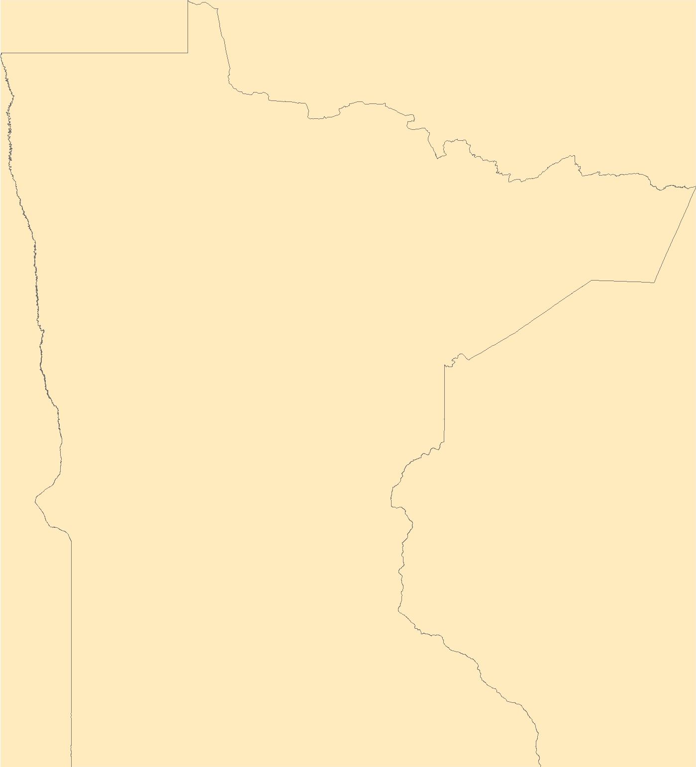
The Geographic Names Information System (GNIS) is the Federal standard for geographic nomenclature. The U.S. Geological Survey developed the GNIS for the U.S. Board on Geographic Names, a Federal inter-agency body chartered by public law to maintain uniform feature name usage throughout the Government and to promulgate standard names to the public. The GNIS is the official repository of domestic geographic names data; the official vehicle for geographic names use by all departments of the Federal Government; and the source for applying geographic names to Federal electronic and printed products of all types.
Tags: Aitkin,
Anoka,
Antarctica,
Antarctica,
BGN, All tags...
Becker,
Beltrami,
Benton,
Big Stone,
Blue Earth,
Board on Geographic Names,
Borough,
Brown,
Carlton,
Carver,
Cass,
Census Area,
Chippewa,
Chisago,
Clay,
Clearwater,
Commonwealth,
Cook,
Cottonwood,
County,
Crow Wing,
Dakota,
District,
Dodge,
Douglas,
Downloadable Data,
Faribault,
Feature class,
Feature coordinates,
Feature county,
Feature description,
Feature designation,
Feature history,
Feature indentification,
Feature name,
Feature state,
Fillmore,
Freeborn,
GNIS,
Geographic Names,
Geographic Names Federal Codes,
Geographic Names Information System,
Geographic feature,
Geographic name,
Geographical feature,
Geographical name,
Goodhue,
Grant,
Hennepin,
Houston,
Hubbard,
Isanti,
Itasca,
Jackson,
Kanabec,
Kandiyohi,
Kittson,
Koochiching,
Lac qui Parle,
Lake,
Lake of the Woods,
Le Sueur,
Lincoln,
Lyon,
MN,
Mahnomen,
Marshall,
Martin,
McLeod,
Meeker,
Mille Lacs,
Minnesota,
Morrison,
Mower,
Municipio,
Murray,
National Geographic Names Information System (GNIS),
National Geographic Names Information System (GNIS),
Nicollet,
Nobles,
Norman,
Official feature name,
Olmsted,
Otter Tail,
Outlying Area,
Parish,
Pennington,
Pine,
Pipestone,
Place name,
Polk,
Pope,
Populated Place,
Ramsey,
Red Lake,
Redwood,
Renville,
Rice,
Rock,
Roseau,
Scott,
Sherburne,
Sibley,
St. Louis,
State,
Stearns,
Steele,
Stevens,
Swift,
TXT (pipes),
Territories,
Territory,
Todd,
Topographic Map,
Traverse,
U.S. Board on Geographic Names,
U.S. Geological Survey,
US,
USA,
USBGN,
USGS,
UTF-8 Pipe Delimited Text File nan,
United States,
United States,
United States,
Variant name,
Wabasha,
Wadena,
Waseca,
Washington,
Watonwan,
Wilkin,
Winona,
Wright,
Yellow Medicine,
antarctic,
database,
economy,
environment,
feature,
gazetteer,
geographic,
geographic names,
geographical,
geography,
geospatial,
imageryBaseMapsEarthCover,
inlandWaters,
location,
map,
name,
place,
placename,
society,
structure,
topographic map,
toponymy, Fewer tags
|
|

