Filters
Date Range
Contacts
Tag Types
Tag Schemes
|

This tile of the 3D Elevation Program (3DEP) seamless products is 13 arc-second resolution. 3DEP data serve as the elevation layer of The National Map, and provide basic elevation information for Earth science studies and mapping applications in the United States. Scientists and resource managers use 3DEP data for global change research, hydrologic modeling, resource monitoring, mapping and visualization, and many other applications. 3DEP data compose an elevation dataset that consists of seamless layers and a high resolution layer. Each of these layers consists of the best available raster elevation data of the conterminous United States, Alaska, Hawaii, territorial islands, Mexico and Canada. 3DEP data are updated...
Tags: 1 x 1 degree,
1-degree DEM,
13 arc-second DEM,
3D Elevation Program,
3DEP, All tags...
Bare Earth,
Cartography,
DEM,
Digital Elevation Model,
Digital Mapping,
Digital Terrain Model,
Downloadable Data,
Elevation,
Elevation,
Elevation,
GIS,
GeoTIFF,
Geodata,
Geographic Information System,
Grid,
High Resolution,
Hydro-Flattened,
IFSAR,
Interferometric Synthetic Aperture Radar,
LIDAR,
Light Detection And Ranging,
Mapping,
NED,
National Elevation Dataset,
National Elevation Dataset (NED),
National Elevation Dataset (NED) 1/3 arc-second,
National Elevation Dataset (NED) 1/3 arc-second Current,
Raster,
Terrain Elevation,
Topographic Surface,
Topography,
U.S. Geological Survey,
US,
USGS,
United States,
elevation, Fewer tags
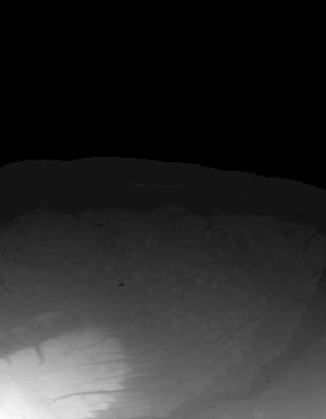
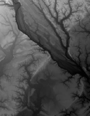
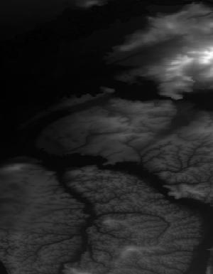
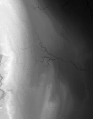
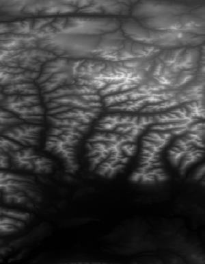
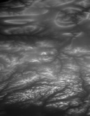
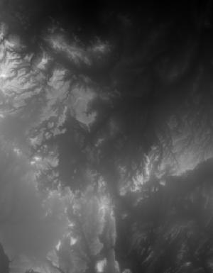
This tile of the 3D Elevation Program (3DEP) seamless products is 1/3 Arc Second resolution. 3DEP data serve as the elevation layer of The National Map, and provide basic elevation information for Earth science studies and mapping applications in the United States. Scientists and resource managers use 3DEP data for global change research, hydrologic modeling, resource monitoring, mapping and visualization, and many other applications. 3DEP data compose an elevation dataset that consists of seamless layers and a high resolution layer. Each of these layers consists of the best available raster elevation data of the conterminous United States, Alaska, Hawaii, territorial islands, Mexico and Canada. 3DEP data are updated...
Tags: 1 x 1 degree,
1-Degree DEM,
1/3 arc-second DEM,
3D Elevation Program,
3DEP, All tags...
Bare Earth,
Cartography,
DEM,
Digital Elevation Model,
Digital Mapping,
Digital Terrain Model,
Downloadable Data,
Elevation,
Elevation,
Elevation,
GIS,
GeoTIFF,
Geodata,
Geographic Information System,
Grid,
High Resolution,
Hydro-Flattened,
IFSAR,
Interferometric Synthetic Aperture Radar,
LIDAR,
Light Detection And Ranging,
Mapping,
NED,
National Elevation Dataset,
National Elevation Dataset (NED),
National Elevation Dataset (NED) 1/3 arc-second,
National Elevation Dataset (NED) 1/3 arc-second Current,
Raster,
Terrain Elevation,
Topographic Surface,
Topography,
U.S. Geological Survey,
US,
USGS,
United States,
elevation, Fewer tags

This tile of the 3D Elevation Program (3DEP) seamless products is 1/3 Arc Second resolution. 3DEP data serve as the elevation layer of The National Map, and provide basic elevation information for Earth science studies and mapping applications in the United States. Scientists and resource managers use 3DEP data for global change research, hydrologic modeling, resource monitoring, mapping and visualization, and many other applications. 3DEP data compose an elevation dataset that consists of seamless layers and a high resolution layer. Each of these layers consists of the best available raster elevation data of the conterminous United States, Alaska, Hawaii, territorial islands, Mexico and Canada. 3DEP data are updated...
Tags: 1 x 1 degree,
1-Degree DEM,
1/3 arc-second DEM,
3D Elevation Program,
3DEP, All tags...
Bare Earth,
Cartography,
DEM,
Digital Elevation Model,
Digital Mapping,
Digital Terrain Model,
Downloadable Data,
Elevation,
Elevation,
Elevation,
GIS,
GeoTIFF,
Geodata,
Geographic Information System,
Grid,
High Resolution,
Hydro-Flattened,
IFSAR,
Interferometric Synthetic Aperture Radar,
LIDAR,
Light Detection And Ranging,
Mapping,
NED,
National Elevation Dataset,
National Elevation Dataset (NED),
National Elevation Dataset (NED) 1/3 arc-second,
National Elevation Dataset (NED) 1/3 arc-second Current,
Raster,
Terrain Elevation,
Topographic Surface,
Topography,
U.S. Geological Survey,
US,
USGS,
United States,
elevation, Fewer tags
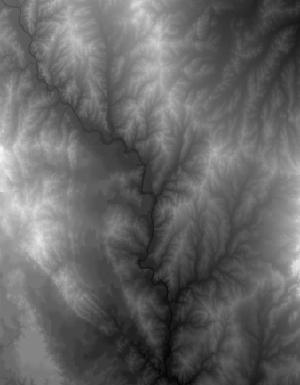
This tile of the 3D Elevation Program (3DEP) seamless products is 1/3 Arc Second resolution. 3DEP data serve as the elevation layer of The National Map, and provide basic elevation information for Earth science studies and mapping applications in the United States. Scientists and resource managers use 3DEP data for global change research, hydrologic modeling, resource monitoring, mapping and visualization, and many other applications. 3DEP data compose an elevation dataset that consists of seamless layers and a high resolution layer. Each of these layers consists of the best available raster elevation data of the conterminous United States, Alaska, Hawaii, territorial islands, Mexico and Canada. 3DEP data are updated...
Tags: 1 x 1 degree,
1-Degree DEM,
1/3 arc-second DEM,
3D Elevation Program,
3DEP, All tags...
Bare Earth,
Cartography,
DEM,
Digital Elevation Model,
Digital Mapping,
Digital Terrain Model,
Downloadable Data,
Elevation,
Elevation,
Elevation,
GIS,
GeoTIFF,
Geodata,
Geographic Information System,
Grid,
High Resolution,
Hydro-Flattened,
IFSAR,
Interferometric Synthetic Aperture Radar,
LIDAR,
Light Detection And Ranging,
Mapping,
NED,
National Elevation Dataset,
National Elevation Dataset (NED),
National Elevation Dataset (NED) 1/3 arc-second,
National Elevation Dataset (NED) 1/3 arc-second Current,
Raster,
Terrain Elevation,
Topographic Surface,
Topography,
U.S. Geological Survey,
US,
USGS,
United States,
elevation, Fewer tags

This tile of the 3D Elevation Program (3DEP) seamless products is 1/3 arc-second resolution. 3DEP data serve as the elevation layer of The National Map, and provide basic elevation information for Earth science studies and mapping applications in the United States. Scientists and resource managers use 3DEP data for global change research, hydrologic modeling, resource monitoring, mapping and visualization, and many other applications. 3DEP data compose an elevation dataset that consists of seamless layers and a high resolution layer. Each of these layers consists of the best available raster elevation data of the conterminous United States, Alaska, Hawaii, territorial islands, Mexico and Canada. 3DEP data are updated...
Tags: 1 x 1 degree,
1-degree DEM,
1/3 arc-second DEM,
3D Elevation Program,
3DEP, All tags...
Bare Earth,
Cartography,
DEM,
Digital Elevation Model,
Digital Mapping,
Digital Terrain Model,
Downloadable Data,
Elevation,
Elevation,
Elevation,
GIS,
GeoTIFF,
Geodata,
Geographic Information System,
Grid,
High Resolution,
Hydro-Flattened,
IFSAR,
Interferometric Synthetic Aperture Radar,
LIDAR,
Light Detection And Ranging,
Mapping,
NED,
National Elevation Dataset,
National Elevation Dataset (NED),
National Elevation Dataset (NED) 1/3 arc-second,
National Elevation Dataset (NED) 1/3 arc-second Current,
Raster,
Terrain Elevation,
Topographic Surface,
Topography,
U.S. Geological Survey,
US,
USGS,
United States,
elevation, Fewer tags
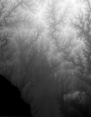
This tile of the 3D Elevation Program (3DEP) seamless products is 1/3 Arc Second resolution. 3DEP data serve as the elevation layer of The National Map, and provide basic elevation information for Earth science studies and mapping applications in the United States. Scientists and resource managers use 3DEP data for global change research, hydrologic modeling, resource monitoring, mapping and visualization, and many other applications. 3DEP data compose an elevation dataset that consists of seamless layers and a high resolution layer. Each of these layers consists of the best available raster elevation data of the conterminous United States, Alaska, Hawaii, territorial islands, Mexico and Canada. 3DEP data are updated...
Tags: 1 x 1 degree,
1-Degree DEM,
1/3 arc-second DEM,
3D Elevation Program,
3DEP, All tags...
Bare Earth,
Cartography,
DEM,
Digital Elevation Model,
Digital Mapping,
Digital Terrain Model,
Downloadable Data,
Elevation,
Elevation,
Elevation,
GIS,
GeoTIFF,
Geodata,
Geographic Information System,
Grid,
High Resolution,
Hydro-Flattened,
IFSAR,
Interferometric Synthetic Aperture Radar,
LIDAR,
Light Detection And Ranging,
Mapping,
NED,
National Elevation Dataset,
National Elevation Dataset (NED),
National Elevation Dataset (NED) 1/3 arc-second,
National Elevation Dataset (NED) 1/3 arc-second Current,
Raster,
Terrain Elevation,
Topographic Surface,
Topography,
U.S. Geological Survey,
US,
USGS,
United States,
elevation, Fewer tags
This tile of the 3D Elevation Program (3DEP) seamless products is 1/3 arc-second resolution. 3DEP data serve as the elevation layer of The National Map, and provide basic elevation information for Earth science studies and mapping applications in the United States. Scientists and resource managers use 3DEP data for global change research, hydrologic modeling, resource monitoring, mapping and visualization, and many other applications. 3DEP data compose an elevation dataset that consists of seamless layers and a high resolution layer. Each of these layers consists of the best available raster elevation data of the conterminous United States, Alaska, Hawaii, territorial islands, Mexico and Canada. 3DEP data are updated...
Tags: 1 x 1 degree,
1-degree DEM,
1/3 arc-second DEM,
3D Elevation Program,
3DEP, All tags...
Bare Earth,
Cartography,
DEM,
Digital Elevation Model,
Digital Mapping,
Digital Terrain Model,
Downloadable Data,
Elevation,
Elevation,
Elevation,
GIS,
GeoTIFF,
Geodata,
Geographic Information System,
Grid,
High Resolution,
Hydro-Flattened,
IFSAR,
Interferometric Synthetic Aperture Radar,
LIDAR,
Light Detection And Ranging,
Mapping,
NED,
National Elevation Dataset,
National Elevation Dataset (NED),
National Elevation Dataset (NED) 1/3 arc-second,
National Elevation Dataset (NED) 1/3 arc-second Current,
Raster,
Terrain Elevation,
Topographic Surface,
Topography,
U.S. Geological Survey,
US,
USGS,
United States,
elevation, Fewer tags
|
|