Filters: Tags: Neversink (X)
11 results (80ms)|
Filters
Date Range
Extensions Types Contacts
Categories Tag Types
|
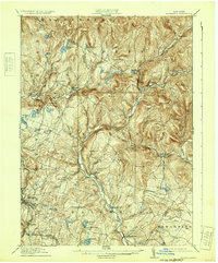
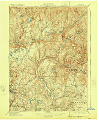
USGS Historical Quadrangle in GeoPDF.

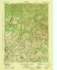
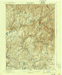
USGS Historical Quadrangle in GeoPDF.
This model archive contains model files and a complete repeatable workflow for source water delineation for groundwater supply wells in the Neversink/Rondout Basins of New York. The U.S. Geological Survey, in cooperation with the NYSDEC and NYSDOH, began an investigation in 2019 with the general objectives of (1) improving understanding of the regional groundwater flow system (2) delineating areas contributing recharge to eight priority production wells, and (3) quantifying the uncertainty of these contributing areas in a probabilistic way that can be used to inform decision-making related to priority well source water protection. To accomplish these objectives, a MODFLOW 6 groundwater model (version 6.2.1) was...
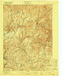
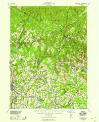
USGS Historical Quadrangle in GeoPDF.
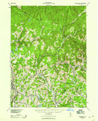
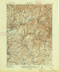
USGS Historical Quadrangle in GeoPDF.
American Eel (Anguilla Rostrata) Background The U.S. Geological Survey (USGS) has worked in cooperation with The Nature Conservancy (TNC) over the past 11 years to study the effects of channel geomorphology and impoundments on the distribution of common and rare mussels in the Neversink River and to characterize fish assemblages in tributaries to the Upper Delaware River in New York, Pennsylvania, and New Jersey. The focus of this research and monitoring program has recently shifted toward studies of the rapidly declining American eel (Anguilla rostrata) populations in rivers of the tri-state region. There are many factors that could potentially cause the observed declines in local and continental populations of...
USGS Historical Quadrangle in GeoPDF.
USGS Historical Quadrangle in GeoPDF.
USGS Historical Quadrangle in GeoPDF.
USGS Historical Quadrangle in GeoPDF.
USGS Historical Quadrangle in GeoPDF.
|

|
