Filters: Tags: New York (X) > Date Range: {"choice":"year"} (X)
5,842 results (78ms)|
Filters
Date Types (for Date Range)
Types
Contacts
Categories Tag Types
|
Using publicly available data for Albany and Schenectady counties, New York, a series of geospatial overlays were created at 1:24,000 scale to examine the bedrock geology, groundwater table, soils, and surficial geology. Bedrock and surficial geology were refined using extant bedrock maps, well and borehole data from water- and gas-wells, soil data, and lidar data. Groundwater data were collected from New York State Department of Environmental Conservation and U.S. Geological Survey water-well databases to estimate the groundwater table. Soil data were used to examine soil thickness over bedrock and infiltration. An inventory of closed depressions was created using reconditioned lidar-derived bare-earth digital...
Using publicly available data for Erie and Niagara counties, New York, a series of geospatial overlays were created at 1:24,000 scale to examine the bedrock geology, groundwater table, soils, and surficial geology. Bedrock and surficial geology were refined using extant bedrock maps, well and borehole data from water- and gas-wells, soil data, and lidar data. Groundwater data were collected from New York State Department of Environmental Conservation and U.S. Geological Survey water-well databases to estimate the groundwater table. Soil data were used to examine soil thickness over bedrock and infiltration. An inventory of closed depressions was created using reconditioned lidar-derived bare-earth digital elevation...
During the spring and summer of 2022, the U.S. Geological Survey collected water-quality samples for nutrient analysis at 45 stations across the state of Connecticut and adjacent areas of New York and Rhode Island to better understand the groundwater discharge component of nitrogen loading to the Long Island Sound. The targeted stations were located in small drainage basins (less than 50 square kilometers) in the southern portion of the Long Island Sound watershed. Sites were selected randomly from groups based on expected drivers or controls on baseflow nitrogen loads. Factors used in the grouping included four metrics calculated for the upstream watershed: percent impervious cover, septic system density, percent...
Categories: Data;
Types: Downloadable,
Map Service,
OGC WFS Layer,
OGC WMS Layer,
Shapefile;
Tags: Connecticut,
Connecticut Coastal,
Hydrology,
Long Island Sound,
New York,

Geospatial data is comprised of government boundaries.
Publicly available geospatial data were identified, collated, and analyzed for a region of karst terrain extending from Albany to Buffalo, New York. A series of geospatial datasets were assembled to determine the location and extent of karstic rock; bedrock geology and depth to bedrock; average water-table configuration; surficial geology; soil type, thickness, and hydraulic conductivity; land cover; and closed depressions in the land surface First release: 2021 Revised: July 2022 (ver. 2.0) Revised: October 2022 (ver. 3.0) Revised: January 2024 (ver. 4.0)
Categories: Data Release - Revised;
Types: Map Service,
OGC WFS Layer,
OGC WMS Layer,
OGC WMS Service;
Tags: Albany County,
Aquifer Mapping,
Basin & Hydrogeologic Characterization,
Buffalo,
Livingston County,
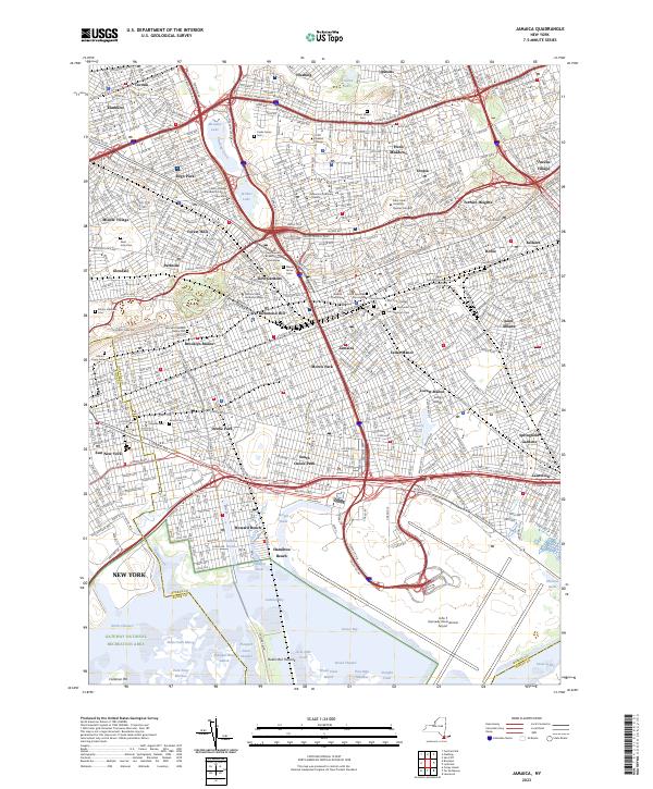
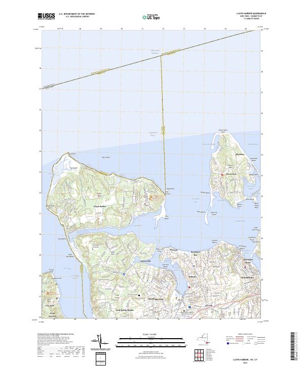
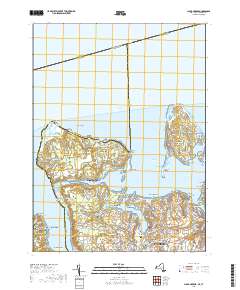
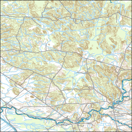
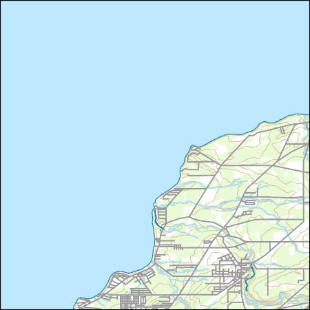
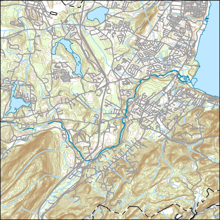
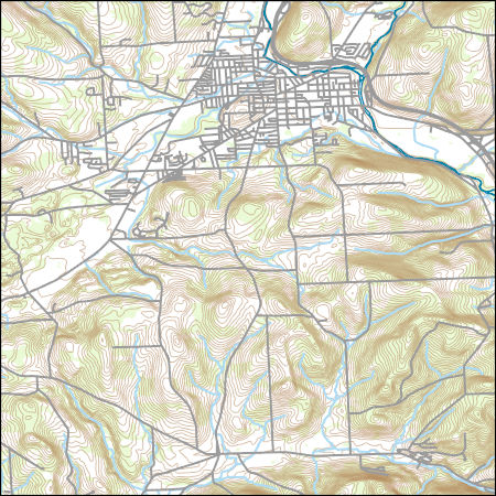
Layered geospatial PDF 7.5 Minute Quadrangle Map. Layers of geospatial data include orthoimagery, roads, grids, geographic names, elevation contours, hydrography, and other selected map features. This map is derived from GIS (geospatial information system) data. It represents a repackaging of GIS data in traditional map form, not creation of new information. The geospatial data in this map are from selected National Map data holdings and other government sources.
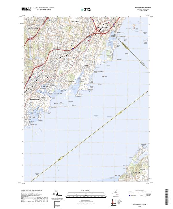
Layered geospatial PDF 7.5 Minute Quadrangle Map. Layers of geospatial data include orthoimagery, roads, grids, geographic names, elevation contours, hydrography, and other selected map features. This map is derived from GIS (geospatial information system) data. It represents a repackaging of GIS data in traditional map form, not creation of new information. The geospatial data in this map are from selected National Map data holdings and other government sources.
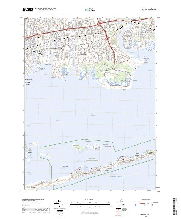
Layered geospatial PDF 7.5 Minute Quadrangle Map. Layers of geospatial data include orthoimagery, roads, grids, geographic names, elevation contours, hydrography, and other selected map features. This map is derived from GIS (geospatial information system) data. It represents a repackaging of GIS data in traditional map form, not creation of new information. The geospatial data in this map are from selected National Map data holdings and other government sources.
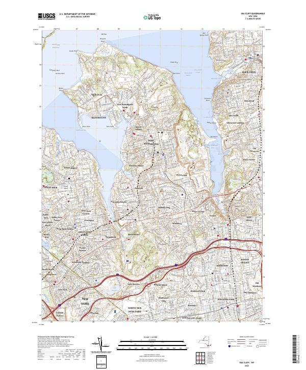
Layered geospatial PDF 7.5 Minute Quadrangle Map. Layers of geospatial data include orthoimagery, roads, grids, geographic names, elevation contours, hydrography, and other selected map features. This map is derived from GIS (geospatial information system) data. It represents a repackaging of GIS data in traditional map form, not creation of new information. The geospatial data in this map are from selected National Map data holdings and other government sources.
Layered geospatial PDF 7.5 Minute Quadrangle Map. Layers of geospatial data include orthoimagery, roads, grids, geographic names, elevation contours, hydrography, and other selected map features. This map is derived from GIS (geospatial information system) data. It represents a repackaging of GIS data in traditional map form, not creation of new information. The geospatial data in this map are from selected National Map data holdings and other government sources.
Layered geospatial PDF 7.5 Minute Quadrangle Map. Layers of geospatial data include orthoimagery, roads, grids, geographic names, elevation contours, hydrography, and other selected map features. This map is derived from GIS (geospatial information system) data. It represents a repackaging of GIS data in traditional map form, not creation of new information. The geospatial data in this map are from selected National Map data holdings and other government sources.
From August 2018 to October 2019, the U.S. Geological Survey collected spatially high-resolution water quality data as part of five shoreline synoptic surveys around the perimeters of Owasco, Seneca, and Skaneateles Lakes within the Finger Lakes Region of New York. Water-quality data were collected just below water surface utilizing YSI EXO2 multiparameter sondes and portable nitrate sensors paired with real-time GPS data as part of a HABs monitoring program in the Finger Lakes. In October 2019, water-quality data collection was paired with discrete phytoplankton grab samples on Owasco Lake and Seneca Lake. Phytoplankton grab samples were collected just below water surface with a peristaltic pump at twelve locations...
Types: Map Service,
OGC WFS Layer,
OGC WMS Layer,
OGC WMS Service;
Tags: Aquatic Biology,
Contaminants, HABS,
Finger Lakes,
Limnology,
New York,
This child item data set provides high-resolution, nearshore, spatial water-quality data collected from Owasco Lake, New York, on June 26 and October 8, 2019. All data are reported as raw measured values. Continuous water-quality monitors were mounted to a boat at approximately 0.5-meters below the water surface and used to measure nitrate, chlorophyll fluorescence (fChl), fluorescent dissolved organic matter (fDOM), dissolved oxygen, specific conductance, phycocyanin fluorescence (fPC), turbidity, pH, and temperature.
Categories: Data;
Tags: Contaminants, HABS,
Finger Lakes,
New York,
Owasco Lake,
Surface-Water Quality Monitoring,
The dwarf wedgemussel (Alasmidonta heterodon) is a federally endangered freshwater mussel that once ranged from New Brunswick to North Carolina, but now only exists in isolated populations throughout its diminished range. This study aimed to understand links between fish abundance and dwarf wedgemussel abundance and occurrence in the Connecticut and Delaware watersheds. Specifically, my study objectives were to 1) characterize fish assemblages near dwarf wedgemussel locations and unoccupied locations, 2) determine if dwarf wedgemussel occurrence and abundance are related to abundance of the known host fish species, tessellated darter and other potential host fish species per St. John White et. al. (2017). Two fish...

The Geographic Names Information System (GNIS) is the Federal standard for geographic nomenclature. The U.S. Geological Survey developed the GNIS for the U.S. Board on Geographic Names, a Federal inter-agency body chartered by public law to maintain uniform feature name usage throughout the Government and to promulgate standard names to the public. The GNIS is the official repository of domestic geographic names data; the official vehicle for geographic names use by all departments of the Federal Government; and the source for applying geographic names to Federal electronic and printed products of all types.
Airborne geophysical surveys were conducted in the eastern Adirondacks from Dec. 7, 2015 - Dec. 21, 2015, by Goldak Airborne Surveys. The area was flown along a draped surface with a nominal survey height above ground of 200 meters. The flight line spacing was 250 meters for traverse lines and 2500 meters for control lines. Here we present downloadable magnetic and radiometric (gamma spectrometry) data from those surveys as image (Geotiff) and flight line data (csv format). Background The Eastern Adirondacks region was known for iron mining in the 1800's and 1900's but it also contains deposits of rare earth minerals. Rare earth minerals are used in advanced technology such as in cell phones, rechargeable batteries...
Categories: Data;
Types: Downloadable,
Map Service,
OGC WFS Layer,
OGC WMS Layer,
Shapefile;
Tags: Adirondack Mountains,
CGGSC,
Crustal Geophysics and Geochemistry Science Center,
Essex County,
Geophysics,
Layers of geospatial data include contours, boundaries, land cover, hydrography, roads, transportation, geographic names, structures, and other selected map features.
Types: Citation;
Tags: 7.5 x 7.5 minute,
7_5_Min,
Combined Vector,
Combined Vector,
Combined Vector,
Layers of geospatial data include contours, boundaries, land cover, hydrography, roads, transportation, geographic names, structures, and other selected map features.
Types: Citation;
Tags: 7.5 x 7.5 minute,
7_5_Min,
Combined Vector,
Combined Vector,
Combined Vector,
Layers of geospatial data include contours, boundaries, land cover, hydrography, roads, transportation, geographic names, structures, and other selected map features.
Types: Citation;
Tags: 7.5 x 7.5 minute,
7_5_Min,
Combined Vector,
Combined Vector,
Combined Vector,
Layers of geospatial data include contours, boundaries, land cover, hydrography, roads, transportation, geographic names, structures, and other selected map features.
Types: Citation;
Tags: 7.5 x 7.5 minute,
7_5_Min,
Combined Vector,
Combined Vector,
Combined Vector,
|

|
