Filters: Tags: Newberg (X)
11 results (46ms)|
Filters
Contacts
(Less)
|
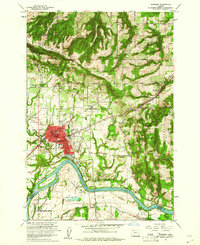
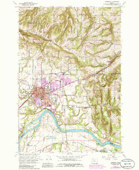
USGS Historical Quadrangle in GeoPDF.
This data set contains imagery from the National Agriculture Imagery Program (NAIP). The NAIP program is administered by USDA FSA and has been established to support two main FSA strategic goals centered on agricultural production. These are, increase stewardship of America's natural resources while enhancing the environment, and to ensure commodities are procured and distributed effectively and efficiently to increase food security. The NAIP program supports these goals by acquiring and providing ortho imagery that has been collected during the agricultural growing season in the U.S. The NAIP ortho imagery is tailored to meet FSA requirements and is a fundamental tool used to support FSA farm and conservation programs....
This dataset contains two-dimensional hydraulic models throughout the Willamette River, extending from the McKenzie River confluence, near Eugene, to the city of Newberg. The study reach is separated into five individual models to simplify tributary inflow boundary conditions and for run-time efficiency. These models were developed to assess juvenile salmonid habitat at streamflows ranging from typical low summer flows to roughly the median annual high flow along each reach. Steady-state streamflow conditions were simulated in an unsteady flow simulation by holding streamflow constant for longer periods of time. Underlying these models is a digital elevation model, which combines bathymetric lidar, collected in...
Categories: Data;
Types: Downloadable,
GeoTIFF,
Map Service,
Raster;
Tags: Albany,
Bathymetry,
Corvallis,
HEC-RAS,
Harrisburg,
This data set contains imagery from the National Agriculture Imagery Program (NAIP). The NAIP program is administered by USDA FSA and has been established to support two main FSA strategic goals centered on agricultural production. These are, increase stewardship of America's natural resources while enhancing the environment, and to ensure commodities are procured and distributed effectively and efficiently to increase food security. The NAIP program supports these goals by acquiring and providing ortho imagery that has been collected during the agricultural growing season in the U.S. The NAIP ortho imagery is tailored to meet FSA requirements and is a fundamental tool used to support FSA farm and conservation programs....
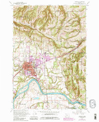
USGS Historical Quadrangle in GeoPDF.
This data set contains imagery from the National Agriculture Imagery Program (NAIP). The NAIP program is administered by USDA FSA and has been established to support two main FSA strategic goals centered on agricultural production. These are, increase stewardship of America's natural resources while enhancing the environment, and to ensure commodities are procured and distributed effectively and efficiently to increase food security. The NAIP program supports these goals by acquiring and providing ortho imagery that has been collected during the agricultural growing season in the U.S. The NAIP ortho imagery is tailored to meet FSA requirements and is a fundamental tool used to support FSA farm and conservation programs....
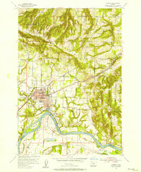
USGS Historical Quadrangle in GeoPDF.
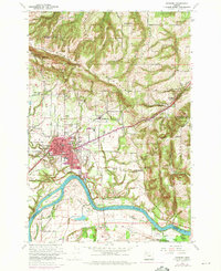
USGS Historical Quadrangle in GeoPDF.
This data set contains imagery from the National Agriculture Imagery Program (NAIP). The NAIP program is administered by USDA FSA and has been established to support two main FSA strategic goals centered on agricultural production. These are, increase stewardship of America's natural resources while enhancing the environment, and to ensure commodities are procured and distributed effectively and efficiently to increase food security. The NAIP program supports these goals by acquiring and providing ortho imagery that has been collected during the agricultural growing season in the U.S. The NAIP ortho imagery is tailored to meet FSA requirements and is a fundamental tool used to support FSA farm and conservation programs....
The Willamette River Basin, Oregon, supports native fish species and non-native fish species introduced for sport fisheries or accidentally from aquarium releases and other sources. Based on fish surveys completed from 1998 to 2018 by Oregon State University and records from the Oregon State University Ichthyology Collection, the Willamette River Basin has 34 native fish species found upstream of the confluence of the Willamette and Columbia Rivers and 28 non-native fish species. Each native and non-native fish species has its own thermal tolerances and diet, spawning, and vertical preference traits. This means that distributions of native and non-native fishes along the river network are shaped by physical factors...
USGS Historical Quadrangle in GeoPDF.
|

|
