Filters: Tags: Niobrara (X)
553 results (14ms)|
Filters
Date Range
Extensions Types Contacts
Categories Tag Types Tag Schemes |
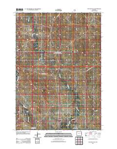
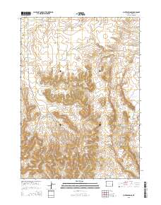
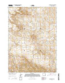
Layered GeoPDF 7.5 Minute Quadrangle Map. Layers of geospatial data include orthoimagery, roads, grids, geographic names, elevation contours, hydrography, and other selected map features.
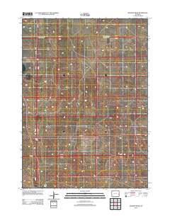
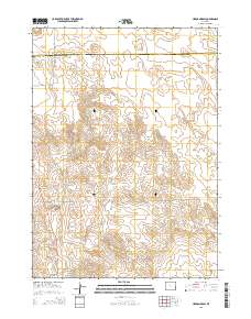
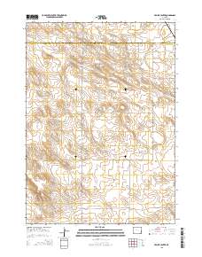
Layered GeoPDF 7.5 Minute Quadrangle Map. Layers of geospatial data include orthoimagery, roads, grids, geographic names, elevation contours, hydrography, and other selected map features.
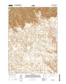
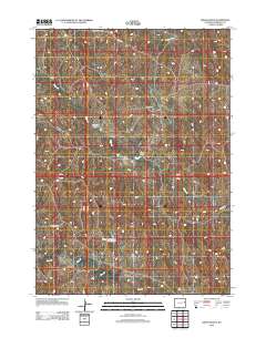
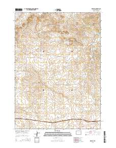
Layered GeoPDF 7.5 Minute Quadrangle Map. Layers of geospatial data include orthoimagery, roads, grids, geographic names, elevation contours, hydrography, and other selected map features.
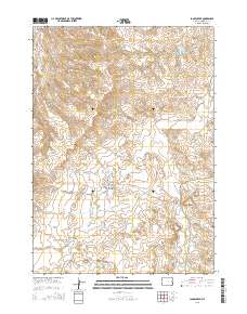
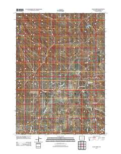
Layered GeoPDF 7.5 Minute Quadrangle Map. Layers of geospatial data include orthoimagery, roads, grids, geographic names, elevation contours, hydrography, and other selected map features.
Layered GeoPDF 7.5 Minute Quadrangle Map. Layers of geospatial data include orthoimagery, roads, grids, geographic names, elevation contours, hydrography, and other selected map features.
Layered GeoPDF 7.5 Minute Quadrangle Map. Layers of geospatial data include orthoimagery, roads, grids, geographic names, elevation contours, hydrography, and other selected map features.
Layered GeoPDF 7.5 Minute Quadrangle Map. Layers of geospatial data include orthoimagery, roads, grids, geographic names, elevation contours, hydrography, and other selected map features.
Layered GeoPDF 7.5 Minute Quadrangle Map. Layers of geospatial data include orthoimagery, roads, grids, geographic names, elevation contours, hydrography, and other selected map features.
Layered GeoPDF 7.5 Minute Quadrangle Map. Layers of geospatial data include orthoimagery, roads, grids, geographic names, elevation contours, hydrography, and other selected map features.
Layered GeoPDF 7.5 Minute Quadrangle Map. Layers of geospatial data include orthoimagery, roads, grids, geographic names, elevation contours, hydrography, and other selected map features.
Layered GeoPDF 7.5 Minute Quadrangle Map. Layers of geospatial data include orthoimagery, roads, grids, geographic names, elevation contours, hydrography, and other selected map features.
This dataset contains base-flow recession time constant (tau) contours that are interpreted from tau values calculated at streamgages in the Niobrara National Scenic River study area. The contours were created by interpolating the calculated tau values using geostatistical kriging methods. Kriging is a geostatistical method that can be used to determine optimal weights for measurements at sampled locations (streamgages) for the estimation of values at unsampled locations (ungaged sites). The kriged tau map could be used (1) as the basis for identifying areas with different hydrologic responsiveness, and (2) in the development of regional low-flow regression equations. The Geostatistical Analyst tools in ArcGIS Pro...
Categories: Data;
Types: Downloadable,
Map Service,
OGC WFS Layer,
OGC WMS Layer,
Shapefile;
Tags: Brown,
Cherry,
Keya Paha,
Nebraska,
Niobrara,

The Watershed Boundary Dataset (WBD) is a comprehensive aggregated collection of hydrologic unit data consistent with the national criteria for delineation and resolution. It defines the areal extent of surface water drainage to a point except in coastal or lake front areas where there could be multiple outlets as stated by the "Federal Standards and Procedures for the National Watershed Boundary Dataset (WBD)" "Standard" (https://pubs.usgs.gov/tm/11/a3/). Watershed boundaries are determined solely upon science-based hydrologic principles, not favoring any administrative boundaries or special projects, nor particular program or agency. This dataset represents the hydrologic unit boundaries to the 12-digit (6th level)...
Core Research Center, core T385, from well operated by PIONEER NATURAL RESOURCESRaw Properties from download, web scrape, MapServer, and Macrostrat API{"Lib Num": "T385", "API Num": "0507109063", "Operator": "PIONEER NATURAL RESOURCES", "Well Name": "KING KONG 11-25R", "Field": "RATON", "State": "CO", "County": "LAS ANIMAS", "Type": "THICK SLAB", "Photos": "F", "Thin Sec": "F", "Analysis": "F", "Latitude": "37.2362736", "Longitude": "-104.9556948", "coordinates_geohash": "9wt7gdtt5098", "Source": "PROVIDED BY DONOR", "Security Flag": "NO SPECIAL RESTRICTIONS", "crc_collection_name": "core", "sb_parent_id": "4f4e49dae4b07f02db5e0486", "intervals": [{"Formation": "NIOBRARA", "Age": "CRETACEOUS", "Min Depth": "5933",...
Core Research Center, cutting HH01792, from well operated by BAYSWATERRaw Properties from download, web scrape, MapServer, and Macrostrat API{"Lib Num": "HH01792", "API Num": "0512339826", "Operator": "BAYSWATER", "Well Name": "MOJACK I-28 HN", "Field": "WATTENBERG", "State": "CO", "County": "WELD", "Thin Sec": "F", "Analysis": "F", "Latitude": "40.55069", "Longitude": "-104.55117", "coordinates_geohash": "9xjwsyh0vht0", "Source": "PROVIDED BY DONOR", "Min": "6000", "Max": "11666", "Security Flag": null, "crc_collection_name": "cutting", "sb_parent_id": "4f4e49d8e4b07f02db5df2d2", "intervals": [{"Formation": "NIOBRARA", "Age": "CRETACEOUS", "Min Depth": "6000", "Max Depth": "11666"}], "crcwc_url": "https://my.usgs.gov/crcwc/cutting/report/102513",...
Categories: Physical Item;
Tags: CRETACEOUS,
Laramie Fm,
Laramie Formation,
Late Cretaceous,
NIOBRARA,
Core Research Center, core F029, from well operated by WELLFLEET DRILLINGRaw Properties from download, web scrape, MapServer, and Macrostrat API{"Lib Num": "F029", "API Num": "2611121107", "Operator": "WELLFLEET DRILLING", "Well Name": "3-1 N-N RANCH", "Field": "WILDCAT", "State": "NE", "County": "LINCOLN", "Type": "SLABBED", "Photos": "T", "Thin Sec": "T", "Analysis": "T", "Latitude": "40.774217", "Longitude": "-100.50615", "coordinates_geohash": "9z0xbytxhbyy", "Source": "FROM STATE RECORDS", "Security Flag": "NO SPECIAL RESTRICTIONS", "crc_collection_name": "core", "sb_parent_id": "4f4e49dae4b07f02db5e0486", "intervals": [{"Formation": "NIOBRARA", "Age": "CRET", "Min Depth": "1022", "Max Depth": "1029"}, {"Formation":...
Core Research Center, core D135, from well operated by BASS ENTERPRISESRaw Properties from download, web scrape, MapServer, and Macrostrat API{"Lib Num": "D135", "API Num": "4903120040", "Operator": "BASS ENTERPRISES", "Well Name": "15-42 BASS PHILLIPPI BAKER", "Field": "UNNAMED", "State": "WY", "County": "PLATTE", "Type": "SLABBED", "Photos": "T", "Thin Sec": "T", "Analysis": "T", "Latitude": "41.96723", "Longitude": "-104.75684", "coordinates_geohash": "9xmw8pykudww", "Source": "FROM STATE RECORDS", "Security Flag": "NO SPECIAL RESTRICTIONS", "crc_collection_name": "core", "sb_parent_id": "4f4e49dae4b07f02db5e0486", "intervals": [{"Formation": "NIOBRARA", "Age": "CRET", "Min Depth": "4886", "Max Depth": "4936"},...
Core Research Center, core T404, from well operated by CIRQUE RESOURCESRaw Properties from download, web scrape, MapServer, and Macrostrat API{"Lib Num": "T404", "API Num": "4902120639", "Operator": "CIRQUE RESOURCES", "Well Name": "V.O. CHILD #30-9", "Field": "WILDCAT", "State": "WY", "County": "LARAMIE", "Type": "THIN SLAB", "Photos": "T", "Thin Sec": "T", "Analysis": "T", "Latitude": "41.24061", "Longitude": "-104.69988", "coordinates_geohash": "9xmd97xggyzj", "Source": "PROVIDED BY DONOR", "Security Flag": "NO SPECIAL RESTRICTIONS", "crc_collection_name": "core", "sb_parent_id": "4f4e49dae4b07f02db5e0486", "intervals": [{"Formation": "SHARON SPRINGS", "Age": "CRETACEOUS", "Min Depth": "8417", "Max Depth": "8457"},...
Core Research Center, core R667, from well operated by HAMILTON BROS OIL CORaw Properties from download, web scrape, MapServer, and Macrostrat API{"Lib Num": "R667", "API Num": "0512310678", "Operator": "HAMILTON BROS OIL CO", "Well Name": "1-29 TOTH", "Field": null, "State": "CO", "County": "WELD", "Type": "FULL", "Photos": "T", "Thin Sec": "F", "Analysis": "T", "Latitude": "40.281664", "Longitude": "-105.034185", "coordinates_geohash": "9xjm1vh3wn7j", "Source": "FROM STATE RECORDS", "Security Flag": "NO SPECIAL RESTRICTIONS", "crc_collection_name": "core", "sb_parent_id": "4f4e49dae4b07f02db5e0486", "intervals": [{"Formation": "CODELL", "Age": "CRET", "Min Depth": "5932", "Max Depth": "5972"}, {"Formation": "NIOBRARA",...
Categories: Physical Item;
Tags: CODELL,
CRET,
CRET,
Eolium (Windblown Clay, Silt (Loess), Sand And Granules),
NIOBRARA,
Core Research Center, core U126, from well operated by SHELL SWEPIRaw Properties from download, web scrape, MapServer, and Macrostrat API{"Lib Num": "U126", "API Num": "0508107743", "Operator": "SHELL SWEPI", "Well Name": "DRY SAGE 1-23", "Field": "WILDCAT", "State": "CO", "County": "MOFFAT", "Type": "THIN SLAB", "Photos": "T", "Thin Sec": "F", "Analysis": "T", "Latitude": "40.97808", "Longitude": "-107.46525", "coordinates_geohash": "9x794ef4w5v8", "Source": "PROVIDED BY DONOR", "Security Flag": "NO SPECIAL RESTRICTIONS", "crc_collection_name": "core", "sb_parent_id": "4f4e49dae4b07f02db5e0486", "intervals": [{"Formation": "NIOBRARA", "Age": "CRETACEOUS", "Min Depth": "10450", "Max Depth": "10534"}, {"Formation":...
Categories: Physical Item;
Tags: CRETACEOUS,
CRETACEOUS,
Lance Fm,
Lance Formation,
Late Cretaceous,
|

|
