Filters: Tags: Nye County (X)
1,500 results (61ms)|
Filters
Date Range
Extensions Types
Contacts
Categories Tag Types
|
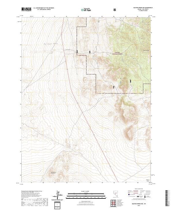
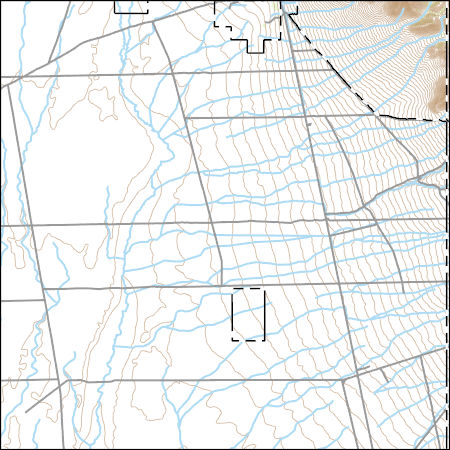
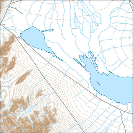
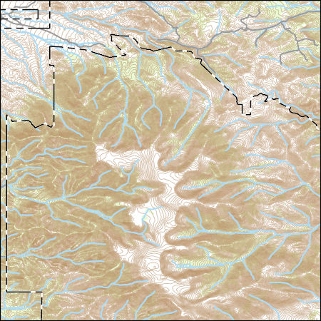
Layered geospatial PDF 7.5 Minute Quadrangle Map. Layers of geospatial data include orthoimagery, roads, grids, geographic names, elevation contours, hydrography, and other selected map features. This map is derived from GIS (geospatial information system) data. It represents a repackaging of GIS data in traditional map form, not creation of new information. The geospatial data in this map are from selected National Map data holdings and other government sources.
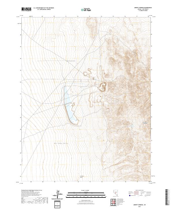
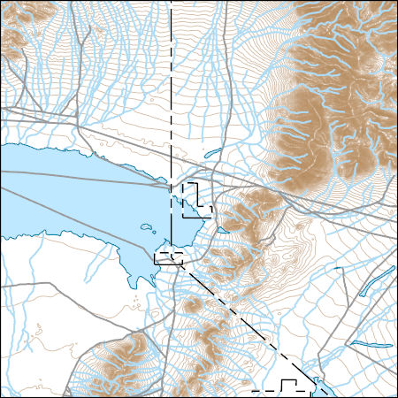
Layered geospatial PDF 7.5 Minute Quadrangle Map. Layers of geospatial data include orthoimagery, roads, grids, geographic names, elevation contours, hydrography, and other selected map features. This map is derived from GIS (geospatial information system) data. It represents a repackaging of GIS data in traditional map form, not creation of new information. The geospatial data in this map are from selected National Map data holdings and other government sources.
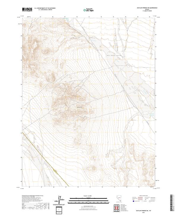
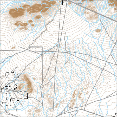
Layered geospatial PDF 7.5 Minute Quadrangle Map. Layers of geospatial data include orthoimagery, roads, grids, geographic names, elevation contours, hydrography, and other selected map features. This map is derived from GIS (geospatial information system) data. It represents a repackaging of GIS data in traditional map form, not creation of new information. The geospatial data in this map are from selected National Map data holdings and other government sources.
This data set consists of 59 wideband magnetotelluric (MT) stations collected by the U.S. Geological Survey in July and August of 2020 as part of a 1-year project funded by the Energy Resources Program of the U.S. Geological Survey to demonstrate full crustal control on geothermal systems in the Great Basin. Each station had 5 components, 3 orthogonal magnetic induction coils and 2 horizontal orthogonal electric dipoles. Data were collected for an average of 18 hours on a repeating schedule of alternating sampling rates of 256 samples/second for 7 hours and 50 minutes and 4096 samples/second for 10 minutes. The schedules were set such that each station was recording the same schedule to allow for remote reference...
This data set consists of 59 wideband magnetotelluric (MT) stations collected by the U.S. Geological Survey in July and August of 2020 as part of a 1-year project funded by the Energy Resources Program of the U.S. Geological Survey to demonstrate full crustal control on geothermal systems in the Great Basin. Each station had 5 components, 3 orthogonal magnetic induction coils and 2 horizontal orthogonal electric dipoles. Data were collected for an average of 18 hours on a repeating schedule of alternating sampling rates of 256 samples/second for 7 hours and 50 minutes and 4096 samples/second for 10 minutes. The schedules were set such that each station was recording the same schedule to allow for remote reference...
This data set consists of 59 wideband magnetotelluric (MT) stations collected by the U.S. Geological Survey in July and August of 2020 as part of a 1-year project funded by the Energy Resources Program of the U.S. Geological Survey to demonstrate full crustal control on geothermal systems in the Great Basin. Each station had 5 components, 3 orthogonal magnetic induction coils and 2 horizontal orthogonal electric dipoles. Data were collected for an average of 18 hours on a repeating schedule of alternating sampling rates of 256 samples/second for 7 hours and 50 minutes and 4096 samples/second for 10 minutes. The schedules were set such that each station was recording the same schedule to allow for remote reference...
This data set consists of 59 wideband magnetotelluric (MT) stations collected by the U.S. Geological Survey in July and August of 2020 as part of a 1-year project funded by the Energy Resources Program of the U.S. Geological Survey to demonstrate full crustal control on geothermal systems in the Great Basin. Each station had 5 components, 3 orthogonal magnetic induction coils and 2 horizontal orthogonal electric dipoles. Data were collected for an average of 18 hours on a repeating schedule of alternating sampling rates of 256 samples/second for 7 hours and 50 minutes and 4096 samples/second for 10 minutes. The schedules were set such that each station was recording the same schedule to allow for remote reference...
This data set consists of 59 wideband magnetotelluric (MT) stations collected by the U.S. Geological Survey in July and August of 2020 as part of a 1-year project funded by the Energy Resources Program of the U.S. Geological Survey to demonstrate full crustal control on geothermal systems in the Great Basin. Each station had 5 components, 3 orthogonal magnetic induction coils and 2 horizontal orthogonal electric dipoles. Data were collected for an average of 18 hours on a repeating schedule of alternating sampling rates of 256 samples/second for 7 hours and 50 minutes and 4096 samples/second for 10 minutes. The schedules were set such that each station was recording the same schedule to allow for remote reference...
This data set consists of 59 wideband magnetotelluric (MT) stations collected by the U.S. Geological Survey in July and August of 2020 as part of a 1-year project funded by the Energy Resources Program of the U.S. Geological Survey to demonstrate full crustal control on geothermal systems in the Great Basin. Each station had 5 components, 3 orthogonal magnetic induction coils and 2 horizontal orthogonal electric dipoles. Data were collected for an average of 18 hours on a repeating schedule of alternating sampling rates of 256 samples/second for 7 hours and 50 minutes and 4096 samples/second for 10 minutes. The schedules were set such that each station was recording the same schedule to allow for remote reference...
This data set consists of 59 wideband magnetotelluric (MT) stations collected by the U.S. Geological Survey in July and August of 2020 as part of a 1-year project funded by the Energy Resources Program of the U.S. Geological Survey to demonstrate full crustal control on geothermal systems in the Great Basin. Each station had 5 components, 3 orthogonal magnetic induction coils and 2 horizontal orthogonal electric dipoles. Data were collected for an average of 18 hours on a repeating schedule of alternating sampling rates of 256 samples/second for 7 hours and 50 minutes and 4096 samples/second for 10 minutes. The schedules were set such that each station was recording the same schedule to allow for remote reference...
This data set consists of 59 wideband magnetotelluric (MT) stations collected by the U.S. Geological Survey in July and August of 2020 as part of a 1-year project funded by the Energy Resources Program of the U.S. Geological Survey to demonstrate full crustal control on geothermal systems in the Great Basin. Each station had 5 components, 3 orthogonal magnetic induction coils and 2 horizontal orthogonal electric dipoles. Data were collected for an average of 18 hours on a repeating schedule of alternating sampling rates of 256 samples/second for 7 hours and 50 minutes and 4096 samples/second for 10 minutes. The schedules were set such that each station was recording the same schedule to allow for remote reference...
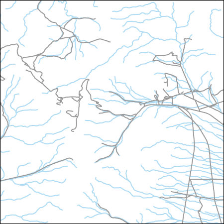
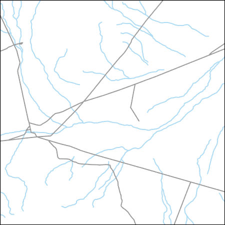
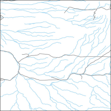
Layers of geospatial data include contours, boundaries, land cover, hydrography, roads, transportation, geographic names, structures, and other selected map features.
Types: Citation;
Tags: 7.5 x 7.5 minute,
7.5 x 7.5 minute,
Combined Vector,
Combined Vector,
Combined Vector,
Layers of geospatial data include contours, boundaries, land cover, hydrography, roads, transportation, geographic names, structures, and other selected map features.
Types: Citation;
Tags: 7.5 x 7.5 minute,
7.5 x 7.5 minute,
Combined Vector,
Combined Vector,
Combined Vector,
Layers of geospatial data include contours, boundaries, land cover, hydrography, roads, transportation, geographic names, structures, and other selected map features.
Types: Citation;
Tags: 7.5 x 7.5 minute,
7.5 x 7.5 minute,
Combined Vector,
Combined Vector,
Combined Vector,
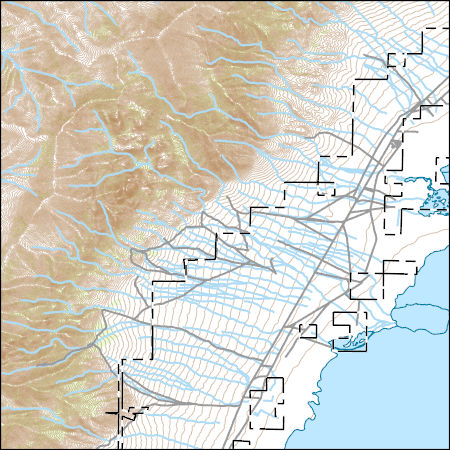
Layers of geospatial data include contours, boundaries, land cover, hydrography, roads, transportation, geographic names, structures, and other selected map features.
Types: Citation;
Tags: 7.5 x 7.5 minute,
7.5 x 7.5 minute,
Combined Vector,
Combined Vector,
Combined Vector,
Layers of geospatial data include contours, boundaries, land cover, hydrography, roads, transportation, geographic names, structures, and other selected map features.
Types: Citation;
Tags: 7.5 x 7.5 minute,
7.5 x 7.5 minute,
Combined Vector,
Combined Vector,
Combined Vector,
Layers of geospatial data include contours, boundaries, land cover, hydrography, roads, transportation, geographic names, structures, and other selected map features.
Types: Citation;
Tags: 7.5 x 7.5 minute,
7.5 x 7.5 minute,
Combined Vector,
Combined Vector,
Combined Vector,
Layers of geospatial data include contours, boundaries, land cover, hydrography, roads, transportation, geographic names, structures, and other selected map features.
Types: Citation;
Tags: 7.5 x 7.5 minute,
7.5 x 7.5 minute,
Combined Vector,
Combined Vector,
Combined Vector,
Layers of geospatial data include contours, boundaries, land cover, hydrography, roads, transportation, geographic names, structures, and other selected map features.
Types: Citation;
Tags: 7.5 x 7.5 minute,
7.5 x 7.5 minute,
Combined Vector,
Combined Vector,
Combined Vector,
Layers of geospatial data include contours, boundaries, land cover, hydrography, roads, transportation, geographic names, structures, and other selected map features.
Types: Citation;
Tags: 7.5 x 7.5 minute,
7.5 x 7.5 minute,
Combined Vector,
Combined Vector,
Combined Vector,
|

|
