Filters: Tags: OGALLALA (X)
25 results (33ms)|
Filters
Date Range
Types (Less) Contacts (Less)
Categories (Less) Tag Types Tag Schemes
|

These data were released prior to the October 1, 2016 effective date for the USGS’s policy dictating the review, approval, and release of scientific data as referenced in USGS Survey Manual Chapter 502.8 Fundamental Science Practices: Review and Approval of Scientific Data for Release. The U.S. Geological Survey and its partners have collaborated to complete airborne geophysical surveys for areas of the North and South Platte River valleys and Lodgepole Creek in western Nebraska. The objective of the surveys was to map the aquifers and bedrock topography of selected areas to help improve the understanding of groundwater-surface-water relationships to be used in water management decisions. Frequency-domain (2008...
Core Research Center, core T988, from well operated by USGSRaw Properties from download, web scrape, MapServer, and Macrostrat API{"Lib Num": "T988", "API Num": null, "Operator": "USGS", "Well Name": "OGALLALA WELL 1", "Field": null, "State": "WY", "County": "LARAMIE", "Type": "FULL", "Photos": "T", "Thin Sec": "F", "Analysis": "T", "Latitude": "41.0616", "Longitude": "-104.4624", "coordinates_geohash": "9xm9wghc1thb", "Source": null, "Security Flag": "NO SPECIAL RESTRICTIONS", "crc_collection_name": "core", "sb_parent_id": "4f4e49dae4b07f02db5e0486", "intervals": [{"Formation": "OGALLALA", "Age": "TERT", "Min Depth": "20", "Max Depth": "277"}, {"Formation": "WHITE RIVER", "Age": "TERT", "Min Depth": "278", "Max...
Well developed dendritic drainage pattern on the soft rocks of the Ogallala formation near the edge of its outcrop where stream gradients are steep. Baca County, Colorado.n.d.
Categories: Image;
Tags: Baca County, Colorado,
McLaughlin, T.G. Collection,
Ogallala,
Photographers,
photo print

These data were released prior to the October 1, 2016 effective date for the USGS’s policy dictating the review, approval, and release of scientific data as referenced in USGS Survey Manual Chapter 502.8 Fundamental Science Practices: Review and Approval of Scientific Data for Release. The U.S. Geological Survey and its partners have collaborated to complete airborne geophysical surveys for areas of the North and South Platte River valleys and Lodgepole Creek in western Nebraska. The objective of the surveys was to map the aquifers and bedrock topography of selected areas to help improve the understanding of groundwater-surface-water relationships to be used in water management decisions. Frequency-domain (2008...

These data were released prior to the October 1, 2016 effective date for the USGS’s policy dictating the review, approval, and release of scientific data as referenced in USGS Survey Manual Chapter 502.8 Fundamental Science Practices: Review and Approval of Scientific Data for Release. The U.S. Geological Survey and its partners have collaborated to complete airborne geophysical surveys for areas of the North and South Platte River valleys and Lodgepole Creek in western Nebraska. The objective of the surveys was to map the aquifers and bedrock topography of selected areas to help improve the understanding of groundwater-surface-water relationships to be used in water management decisions. Frequency-domain (2008...
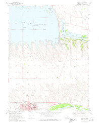
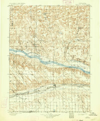
USGS Historical Quadrangle in GeoPDF.
USGS Historical Quadrangle in GeoPDF.

These data were released prior to the October 1, 2016 effective date for the USGS’s policy dictating the review, approval, and release of scientific data as referenced in USGS Survey Manual Chapter 502.8 Fundamental Science Practices: Review and Approval of Scientific Data for Release. The U.S. Geological Survey and its partners have collaborated to complete airborne geophysical surveys for areas of the North and South Platte River valleys and Lodgepole Creek in western Nebraska. The objective of the surveys was to map the aquifers and bedrock topography of selected areas to help improve the understanding of groundwater-surface-water relationships to be used in water management decisions. Frequency-domain (2008...
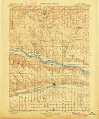
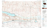
USGS Historical Quadrangle in GeoPDF.
USGS Historical Quadrangle in GeoPDF.

These data were released prior to the October 1, 2016 effective date for the USGS’s policy dictating the review, approval, and release of scientific data as referenced in USGS Survey Manual Chapter 502.8 Fundamental Science Practices: Review and Approval of Scientific Data for Release. The U.S. Geological Survey and its partners have collaborated to complete airborne geophysical surveys for areas of the North and South Platte River valleys and Lodgepole Creek in western Nebraska. The objective of the surveys was to map the aquifers and bedrock topography of selected areas to help improve the understanding of groundwater-surface-water relationships to be used in water management decisions. Frequency-domain (2008...

These data were released prior to the October 1, 2016 effective date for the USGS’s policy dictating the review, approval, and release of scientific data as referenced in USGS Survey Manual Chapter 502.8 Fundamental Science Practices: Review and Approval of Scientific Data for Release. The U.S. Geological Survey and its partners have collaborated to complete airborne geophysical surveys for areas of the North and South Platte River valleys and Lodgepole Creek in western Nebraska. The objective of the surveys was to map the aquifers and bedrock topography of selected areas to help improve the understanding of groundwater-surface-water relationships to be used in water management decisions. Frequency-domain (2008...
This data set contains imagery from the National Agriculture Imagery Program (NAIP). The NAIP program is administered by USDA FSA and has been established to support two main FSA strategic goals centered on agricultural production. These are, increase stewardship of America's natural resources while enhancing the environment, and to ensure commodities are procured and distributed effectively and efficiently to increase food security. The NAIP program supports these goals by acquiring and providing ortho imagery that has been collected during the agricultural growing season in the U.S. The NAIP ortho imagery is tailored to meet FSA requirements and is a fundamental tool used to support FSA farm and conservation programs....
This data set contains imagery from the National Agriculture Imagery Program (NAIP). The NAIP program is administered by USDA FSA and has been established to support two main FSA strategic goals centered on agricultural production. These are, increase stewardship of America's natural resources while enhancing the environment, and to ensure commodities are procured and distributed effectively and efficiently to increase food security. The NAIP program supports these goals by acquiring and providing ortho imagery that has been collected during the agricultural growing season in the U.S. The NAIP ortho imagery is tailored to meet FSA requirements and is a fundamental tool used to support FSA farm and conservation programs....
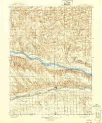
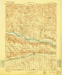
USGS Historical Quadrangle in GeoPDF.

These data were released prior to the October 1, 2016 effective date for the USGS’s policy dictating the review, approval, and release of scientific data as referenced in USGS Survey Manual Chapter 502.8 Fundamental Science Practices: Review and Approval of Scientific Data for Release. The U.S. Geological Survey and its partners have collaborated to complete airborne geophysical surveys for areas of the North and South Platte River valleys and Lodgepole Creek in western Nebraska. The objective of the surveys was to map the aquifers and bedrock topography of selected areas to help improve the understanding of groundwater-surface-water relationships to be used in water management decisions. Frequency-domain (2008...
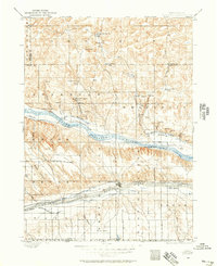
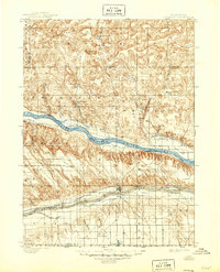
USGS Historical Quadrangle in GeoPDF.
This data set contains imagery from the National Agriculture Imagery Program (NAIP). The NAIP program is administered by USDA FSA and has been established to support two main FSA strategic goals centered on agricultural production. These are, increase stewardship of America's natural resources while enhancing the environment, and to ensure commodities are procured and distributed effectively and efficiently to increase food security. The NAIP program supports these goals by acquiring and providing ortho imagery that has been collected during the agricultural growing season in the U.S. The NAIP ortho imagery is tailored to meet FSA requirements and is a fundamental tool used to support FSA farm and conservation programs....
USGS Historical Quadrangle in GeoPDF.
USGS Historical Quadrangle in GeoPDF.
|

|
