Filters: Tags: Old Faithful (X)
10 results (9ms)|
Filters
Date Range
Extensions Types Contacts
Categories Tag Types Tag Schemes |
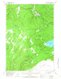
USGS Historical Quadrangle in GeoPDF.
This data set contains imagery from the National Agriculture Imagery Program (NAIP). The NAIP program is administered by USDA FSA and has been established to support two main FSA strategic goals centered on agricultural production. These are, increase stewardship of America's natural resources while enhancing the environment, and to ensure commodities are procured and distributed effectively and efficiently to increase food security. The NAIP program supports these goals by acquiring and providing ortho imagery that has been collected during the agricultural growing season in the U.S. The NAIP ortho imagery is tailored to meet FSA requirements and is a fundamental tool used to support FSA farm and conservation programs....
Airborne electromagnetic (AEM) and magnetic survey data were collected during November and December 2016 along 4,212 line-kilometers over Yellowstone National Park, Wyoming. The survey was conducted as part of a study of the subsurface geologic structure and geothermal and groundwater resources of Yellowstone National Park. The survey was designed to image the subsurface plumbing of Yellowstone's myriad thermal features by constraining the geometry of the major hydrostratigraphic contacts and mapping regional-scale geologic structures. Data were acquired by SkyTEM ApS with the SkyTEM 312M time-domain helicopter-borne electromagnetic system together with a Geometrics G822A cesium vapor magnetometer. The survey was...
The geysers of Yellowstone National Park, United States, attract millions of visitors each year, and their eruption dynamics have been the subject of extensive research for more than a century. Although many of the fundamental aspects associated with the dynamics of geyser eruptions have been elucidated, the relationship between external forcing (Earth tides, barometric pressure, and precipitation) and geyser eruption intervals (GEIs) remains a matter of ongoing debate. We present new instrumental GEI data and demonstrate, through detailed time-series analysis, that geysers respond to both long-term precipitation trends and to the seasonal hydrologic cycle. Responsiveness to long-term trends is reflected by a negative...
Categories: Publication;
Types: Citation;
Tags: Climate,
Old Faithful,
geyser,
hydrothermal processes
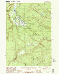
USGS Historical Quadrangle in GeoPDF.
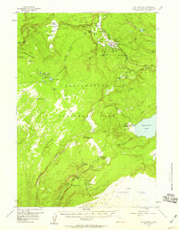
USGS Historical Quadrangle in GeoPDF.
This data set contains imagery from the National Agriculture Imagery Program (NAIP). The NAIP program is administered by USDA FSA and has been established to support two main FSA strategic goals centered on agricultural production. These are, increase stewardship of America's natural resources while enhancing the environment, and to ensure commodities are procured and distributed effectively and efficiently to increase food security. The NAIP program supports these goals by acquiring and providing ortho imagery that has been collected during the agricultural growing season in the U.S. The NAIP ortho imagery is tailored to meet FSA requirements and is a fundamental tool used to support FSA farm and conservation programs....
This data set contains imagery from the National Agriculture Imagery Program (NAIP). The NAIP program is administered by USDA FSA and has been established to support two main FSA strategic goals centered on agricultural production. These are, increase stewardship of America's natural resources while enhancing the environment, and to ensure commodities are procured and distributed effectively and efficiently to increase food security. The NAIP program supports these goals by acquiring and providing ortho imagery that has been collected during the agricultural growing season in the U.S. The NAIP ortho imagery is tailored to meet FSA requirements and is a fundamental tool used to support FSA farm and conservation programs....
Airborne electromagnetic (AEM) and magnetic survey data were collected during November and December 2016 along 4,212 line-kilometers over Yellowstone National Park, Wyoming. The survey was conducted as part of a study of the subsurface geologic structure and geothermal and groundwater resources of Yellowstone National Park. The survey was designed to image the subsurface plumbing of Yellowstone's myriad thermal features by constraining the geometry of the major hydrostratigraphic contacts and mapping regional-scale geologic structures. Data were acquired by SkyTEM ApS with the SkyTEM 312M time-domain helicopter-borne electromagnetic system together with a Geometrics G822A cesium vapor magnetometer. The survey was...
This data set contains imagery from the National Agriculture Imagery Program (NAIP). The NAIP program is administered by USDA FSA and has been established to support two main FSA strategic goals centered on agricultural production. These are, increase stewardship of America's natural resources while enhancing the environment, and to ensure commodities are procured and distributed effectively and efficiently to increase food security. The NAIP program supports these goals by acquiring and providing ortho imagery that has been collected during the agricultural growing season in the U.S. The NAIP ortho imagery is tailored to meet FSA requirements and is a fundamental tool used to support FSA farm and conservation programs....
|

|
