Filters: Tags: Onondaga County (X)
72 results (54ms)|
Filters
Date Range
Extensions Types Contacts
Categories Tag Types
|
This child item dataset contains a shapefile of USGS staff plate locations along the Old Erie Canal. This data release contains spatial datasets of bathymetry, water velocity, water quality, and infrastructure of a 30.8 mile reach of the Old Erie Canal between the Town of DeWitt and its junction with the current Erie Canal of the New York State Canal System in Verona, near Rome, New York during 2018 and 2019.
Categories: Data;
Types: Downloadable,
Map Service,
OGC WFS Layer,
OGC WMS Layer,
Shapefile;
Tags: Groundwater and Streamflow Information,
Madison County,
New York,
Old Erie Canal,
Oneida County,
This child item dataset contains a shapefile of aqueduct locations along the Old Erie Canal. This data release contains spatial datasets of bathymetry, water velocity, water quality, and infrastructure of a 30.8 mile reach of the Old Erie Canal between the Town of DeWitt and its junction with the current Erie Canal of the New York State Canal System in Verona, near Rome, New York during 2018 and 2019.
Categories: Data;
Types: Downloadable,
Map Service,
OGC WFS Layer,
OGC WMS Layer,
Shapefile;
Tags: Groundwater and Streamflow Information,
Madison County,
New York,
Old Erie Canal,
Oneida County,
This data release contains spatial datasets of bathymetry, water velocity, water quality, and infrastructure of a 30.8 mile reach of the Old Erie Canal between the Town of DeWitt and its junction with the current Erie Canal of the New York State Canal System in Verona, near Rome, New York during 2018 and 2019, and is released in support of Open-File Report 2021-1125; Wernly, J.F., 2022, Characterization of the bathymetry, hydrodynamics, water quality, infrastructure, and channel condition of the Old Erie Canal from DeWitt to its junction with the current Erie Canal in Verona, near Rome, New York, 2018–19: U.S. Geological Survey Open-File Report 2021–1125, 75 p., https://doi.org/10.3133/ofr20211125
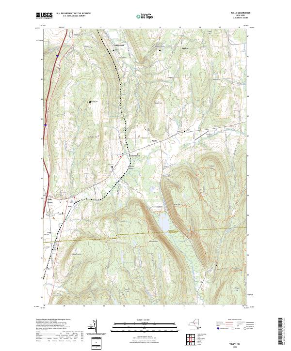
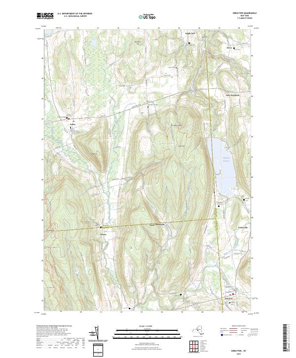
Layered geospatial PDF 7.5 Minute Quadrangle Map. Layers of geospatial data include orthoimagery, roads, grids, geographic names, elevation contours, hydrography, and other selected map features. This map is derived from GIS (geospatial information system) data. It represents a repackaging of GIS data in traditional map form, not creation of new information. The geospatial data in this map are from selected National Map data holdings and other government sources.
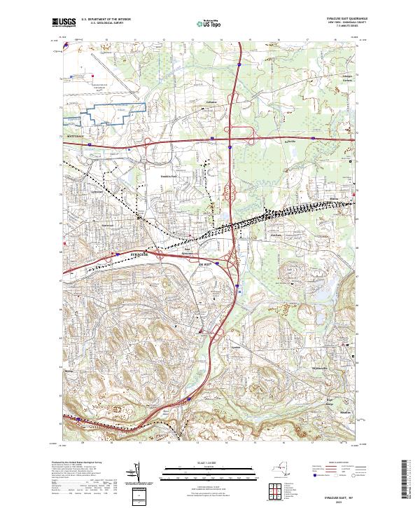
Layered geospatial PDF 7.5 Minute Quadrangle Map. Layers of geospatial data include orthoimagery, roads, grids, geographic names, elevation contours, hydrography, and other selected map features. This map is derived from GIS (geospatial information system) data. It represents a repackaging of GIS data in traditional map form, not creation of new information. The geospatial data in this map are from selected National Map data holdings and other government sources.
Using publicly available data for Onondaga and Cayuga counties, New York, a series of geospatial overlays were created at 1:24,000 scale to examine the bedrock geology, groundwater table, soils, and surficial geology. Bedrock and surficial geology were refined using extant bedrock maps, well and borehole data from water- and gas-wells, soil data, and lidar data. Groundwater data were collected from New York State Department of Environmental Conservation and U.S. Geological Survey water-well databases to estimate the groundwater table. Soil data were used to examine soil thickness over bedrock and infiltration. An inventory of closed depressions was created using reconditioned lidar-derived bare-earth digital elevation...
This dataset contains a shapefile of infrastructure locations along the Old Erie Canal. This data release contains spatial datasets of bathymetry, water velocity, water quality, and infrastructure of a 30.8 mile reach of the Old Erie Canal between the Town of DeWitt and its junction with the current Erie Canal of the New York State Canal System in Verona, near Rome, New York during 2018 and 2019.
Categories: Data;
Types: Downloadable,
Map Service,
OGC WFS Layer,
OGC WMS Layer,
Shapefile;
Tags: Groundwater and Streamflow Information,
Madison County,
New York,
Old Erie Canal,
Oneida County,
This child item dataset contains a shapefile of manual observations made during the 2018 survey, and includes measurements of the bathymetry, water level elevation, and water column depth along parts of Old Erie Canal not navigable by boat. This data release contains spatial datasets of bathymetry, water velocity, water quality, and infrastructure of a 30.8 mile reach of the Old Erie Canal between the Town of DeWitt and its junction with the current Erie Canal of the New York State Canal System in Verona, near Rome, New York during 2018 and 2019.
Categories: Data;
Types: Downloadable,
Map Service,
OGC WFS Layer,
OGC WMS Layer,
Shapefile;
Tags: GPS measurement,
Groundwater and Streamflow Information,
Madison County,
New York State,
Old Erie Canal,
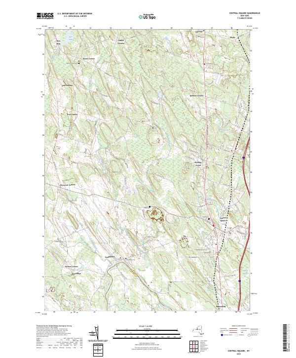
Layered geospatial PDF 7.5 Minute Quadrangle Map. Layers of geospatial data include orthoimagery, roads, grids, geographic names, elevation contours, hydrography, and other selected map features. This map is derived from GIS (geospatial information system) data. It represents a repackaging of GIS data in traditional map form, not creation of new information. The geospatial data in this map are from selected National Map data holdings and other government sources.
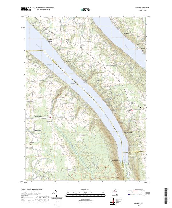
Layered geospatial PDF 7.5 Minute Quadrangle Map. Layers of geospatial data include orthoimagery, roads, grids, geographic names, elevation contours, hydrography, and other selected map features. This map is derived from GIS (geospatial information system) data. It represents a repackaging of GIS data in traditional map form, not creation of new information. The geospatial data in this map are from selected National Map data holdings and other government sources.
Layered geospatial PDF 7.5 Minute Quadrangle Map. Layers of geospatial data include orthoimagery, roads, grids, geographic names, elevation contours, hydrography, and other selected map features. This map is derived from GIS (geospatial information system) data. It represents a repackaging of GIS data in traditional map form, not creation of new information. The geospatial data in this map are from selected National Map data holdings and other government sources.

The High Resolution National Hydrography Dataset Plus (NHDPlus HR) is an integrated set of geospatial data layers, including the National Hydrography Dataset (NHD), National Watershed Boundary Dataset (WBD), and 3D Elevation Program Digital Elevation Model (3DEP DEM). The NHDPlus HR combines the NHD, 3DEP DEMs, and WBD to a data suite that includes the NHD stream network with linear referencing functionality, the WBD hydrologic units, elevation-derived catchment areas for each stream segment, "value added attributes" (VAAs), and other features that enhance hydrologic data analysis and routing.
|

|
