Advanced Search

Filters: Tags: Open-File Report (X) > Categories: Publication (X)

23 results (31ms)   

View Results as: JSON ATOM CSV
thumbnail
This is the seventh report produced by the U.S. Geological Survey (USGS) for the Wyoming Landscape Conservation Initiative (WLCI) to detail annual activities conducted by the USGS for addressing specific management needs identified by WLCI partners. In FY2014, there were 26 projects, including a new one that was completed, two others that were also completed, and several that entered new phases or directions. The 26 projects fall into several categories: (1) synthesizing and analyzing existing data to identify current conditions on the landscape and using the data to develop models for projecting past and future landscape conditions; (2) monitoring indicators of ecosystem conditions and the effectiveness of on-the-ground...


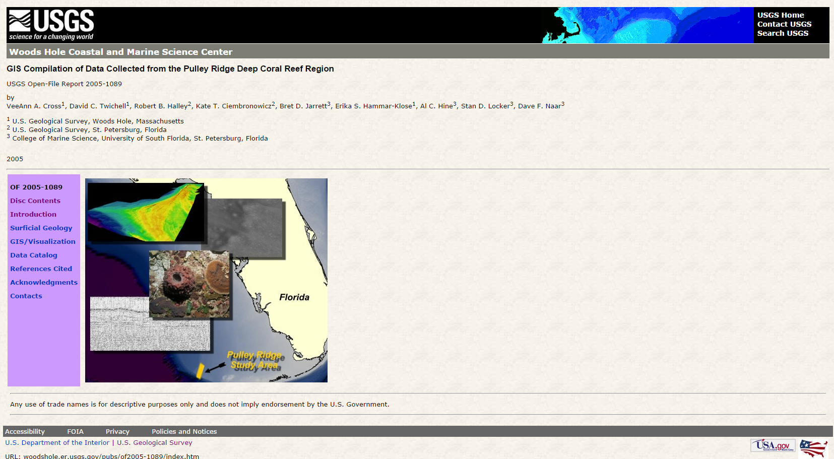
map background search result map search result map Geologic framework of thermal springs, Black Canyon, Nevada and Arizona (COPY) GIS compilation of data collected from the Pulley Ridge Deep Coral Reef region (COPY01) GIS compilation of data collected from the Pulley Ridge Deep Coral Reef region (COPY02) GIS compilation of data collected from the Pulley Ridge Deep Coral Reef region (COPY03) GIS compilation of data collected from the Pulley Ridge Deep Coral Reef region (COPY04) GIS compilation of data collected from the Pulley Ridge Deep Coral Reef region (COPY05) GIS compilation of data collected from the Pulley Ridge Deep Coral Reef region (COPY06) GIS compilation of data collected from the Pulley Ridge Deep Coral Reef region (COPY07) GIS compilation of data collected from the Pulley Ridge Deep Coral Reef region (COPY08) GIS compilation of data collected from the Pulley Ridge Deep Coral Reef region (COPY09) GIS compilation of data collected from the Pulley Ridge Deep Coral Reef region (COPY11) GIS compilation of data collected from the Pulley Ridge Deep Coral Reef region (COPY12) GIS compilation of data collected from the Pulley Ridge Deep Coral Reef region (COPY13) GIS compilation of data collected from the Pulley Ridge Deep Coral Reef region (COPY14) GIS compilation of data collected from the Pulley Ridge Deep Coral Reef region (COPY15) GIS compilation of data collected from the Pulley Ridge Deep Coral Reef region (COPY16) GIS compilation of data collected from the Pulley Ridge Deep Coral Reef region (COPY18) GIS compilation of data collected from the Pulley Ridge Deep Coral Reef region (COPY19) GIS compilation of data collected from the Pulley Ridge Deep Coral Reef region (COPY20) U.S. Geological Survey Science for the Wyoming Landscape Conservation Initiative: 2014 annual report GIS compilation of data collected from the Pulley Ridge Deep Coral Reef region (COPY01) GIS compilation of data collected from the Pulley Ridge Deep Coral Reef region (COPY02) GIS compilation of data collected from the Pulley Ridge Deep Coral Reef region (COPY03) GIS compilation of data collected from the Pulley Ridge Deep Coral Reef region (COPY05) GIS compilation of data collected from the Pulley Ridge Deep Coral Reef region (COPY06) GIS compilation of data collected from the Pulley Ridge Deep Coral Reef region (COPY07) GIS compilation of data collected from the Pulley Ridge Deep Coral Reef region (COPY08) GIS compilation of data collected from the Pulley Ridge Deep Coral Reef region (COPY09) GIS compilation of data collected from the Pulley Ridge Deep Coral Reef region (COPY11) GIS compilation of data collected from the Pulley Ridge Deep Coral Reef region (COPY12) GIS compilation of data collected from the Pulley Ridge Deep Coral Reef region (COPY13) GIS compilation of data collected from the Pulley Ridge Deep Coral Reef region (COPY14) GIS compilation of data collected from the Pulley Ridge Deep Coral Reef region (COPY15) GIS compilation of data collected from the Pulley Ridge Deep Coral Reef region (COPY16) GIS compilation of data collected from the Pulley Ridge Deep Coral Reef region (COPY18) GIS compilation of data collected from the Pulley Ridge Deep Coral Reef region (COPY19) GIS compilation of data collected from the Pulley Ridge Deep Coral Reef region (COPY20) Geologic framework of thermal springs, Black Canyon, Nevada and Arizona (COPY) GIS compilation of data collected from the Pulley Ridge Deep Coral Reef region (COPY04) U.S. Geological Survey Science for the Wyoming Landscape Conservation Initiative: 2014 annual report