Filters: Tags: Page (X)
307 results (159ms)|
Filters
Date Range
Extensions (Less) Types (Less)
Contacts (Less)
Categories (Less) Tag Types Tag Schemes
|
This data set contains imagery from the National Agriculture Imagery Program (NAIP). The NAIP program is administered by USDA FSA and has been established to support two main FSA strategic goals centered on agricultural production. These are, increase stewardship of America's natural resources while enhancing the environment, and to ensure commodities are procured and distributed effectively and efficiently to increase food security. The NAIP program supports these goals by acquiring and providing ortho imagery that has been collected during the agricultural growing season in the U.S. The NAIP ortho imagery is tailored to meet FSA requirements and is a fundamental tool used to support FSA farm and conservation programs....
This data set contains imagery from the National Agriculture Imagery Program (NAIP). The NAIP program is administered by USDA FSA and has been established to support two main FSA strategic goals centered on agricultural production. These are, increase stewardship of America's natural resources while enhancing the environment, and to ensure commodities are procured and distributed effectively and efficiently to increase food security. The NAIP program supports these goals by acquiring and providing ortho imagery that has been collected during the agricultural growing season in the U.S. The NAIP ortho imagery is tailored to meet FSA requirements and is a fundamental tool used to support FSA farm and conservation programs....
This data set contains imagery from the National Agriculture Imagery Program (NAIP). The NAIP program is administered by USDA FSA and has been established to support two main FSA strategic goals centered on agricultural production. These are, increase stewardship of America's natural resources while enhancing the environment, and to ensure commodities are procured and distributed effectively and efficiently to increase food security. The NAIP program supports these goals by acquiring and providing ortho imagery that has been collected during the agricultural growing season in the U.S. The NAIP ortho imagery is tailored to meet FSA requirements and is a fundamental tool used to support FSA farm and conservation programs....
This data set contains imagery from the National Agriculture Imagery Program (NAIP). The NAIP program is administered by USDA FSA and has been established to support two main FSA strategic goals centered on agricultural production. These are, increase stewardship of America's natural resources while enhancing the environment, and to ensure commodities are procured and distributed effectively and efficiently to increase food security. The NAIP program supports these goals by acquiring and providing ortho imagery that has been collected during the agricultural growing season in the U.S. The NAIP ortho imagery is tailored to meet FSA requirements and is a fundamental tool used to support FSA farm and conservation programs....
This data set contains imagery from the National Agriculture Imagery Program (NAIP). The NAIP program is administered by USDA FSA and has been established to support two main FSA strategic goals centered on agricultural production. These are, increase stewardship of America's natural resources while enhancing the environment, and to ensure commodities are procured and distributed effectively and efficiently to increase food security. The NAIP program supports these goals by acquiring and providing ortho imagery that has been collected during the agricultural growing season in the U.S. The NAIP ortho imagery is tailored to meet FSA requirements and is a fundamental tool used to support FSA farm and conservation programs....
High-resolution geophysical mapping of Lake Powell in the Glen Canyon National Recreation Area in Utah and Arizona was conducted between October 8 and November 15, 2017, as part of a collaborative effort between the U.S. Geological Survey and the Bureau of Reclamation to provide high-quality data needed to reassess the area-capacity tables for the Lake Powell reservoir. Seismic data collected during this survey can help to define the rates of deposition within the San Juan and Colorado Rivers, which are the main inflows to Lake Powell. These new data are intended to improve water budget management decisions that affect the natural and recreational resources of the reservoir. Multibeam echosounder bathymetry and...
Categories: Data;
Types: ArcGIS REST Map Service,
ArcGIS Service Definition,
Downloadable,
Map Service;
Tags: Antelope Canyon,
BOR,
Bullfrog,
Bullfrog Bay,
Bureau of Reclamation,
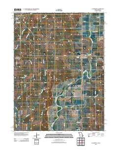
Layered GeoPDF 7.5 Minute Quadrangle Map. Layers of geospatial data include orthoimagery, roads, grids, geographic names, elevation contours, hydrography, and other selected map features.
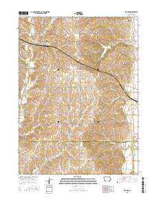
Layered GeoPDF 7.5 Minute Quadrangle Map. Layers of geospatial data include orthoimagery, roads, grids, geographic names, elevation contours, hydrography, and other selected map features.
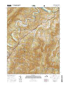
Layered geospatial PDF Map. Layers of geospatial data include orthoimagery, roads, grids, geographic names, elevation contours, hydrography, and other selected map features.
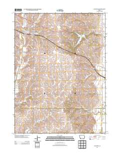
Layered GeoPDF 7.5 Minute Quadrangle Map. Layers of geospatial data include orthoimagery, roads, grids, geographic names, elevation contours, hydrography, and other selected map features.
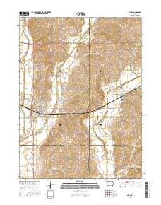
Layered GeoPDF 7.5 Minute Quadrangle Map. Layers of geospatial data include orthoimagery, roads, grids, geographic names, elevation contours, hydrography, and other selected map features.
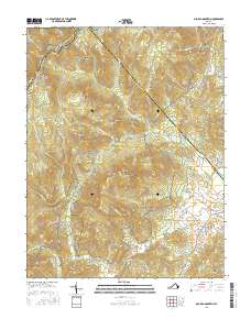
Layered geospatial PDF Map. Layers of geospatial data include orthoimagery, roads, grids, geographic names, elevation contours, hydrography, and other selected map features.
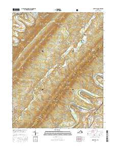
Layered geospatial PDF Map. Layers of geospatial data include orthoimagery, roads, grids, geographic names, elevation contours, hydrography, and other selected map features.
These data were compiled to create models that estimate entrainment rates and population growth rates of smallmouth bass below Glen Canyon Dam. Objective(s) of our study were to predict smallmouth bass entrainment rates and population growth under different future scenarios of Lake Powell elevations and management. These data represent parameters needed for associated models and data needed to produce figures. These data were collected from publicly available online sources including published papers and federal government datasets. These data were assembled by researchers from U.S. Geological Survey, Utah State University, Colorado State University, U.S. Fish and Wildlife Service. These data can be used to run...

Layers of geospatial data include roads, airports, trails, and railroads.
This dataset describes survey data collected for the Bureau of Reclamation (Reclamation), the agency in charge of regulating Colorado River water control operations impounding the Lake Powell reservoir. Additional intent of the collected data was to assure consistencies among gaging elevations at Glen Canyon Dam near Page, Arizona as well as verification and alignment of a recently published topobathymetric digital elevation model for Lake Powell. Glen Canyon Dam is a concrete arch-gravity dam on the Colorado River in northern Arizona and is the second largest man-made reservoir in the United States. The location was chosen to survey due to uncertainty in the local datum used by the Reclamation as well as uncertainties...
Categories: Data;
Types: Map Service,
OGC WFS Layer,
OGC WMS Layer,
OGC WMS Service;
Tags: Arizona,
Bullfrog,
Differential Leveling,
GNSS Survey,
Glen Canyon Dam,

The Watershed Boundary Dataset (WBD) is a comprehensive aggregated collection of hydrologic unit data consistent with the national criteria for delineation and resolution. It defines the areal extent of surface water drainage to a point except in coastal or lake front areas where there could be multiple outlets as stated by the "Federal Standards and Procedures for the National Watershed Boundary Dataset (WBD)" "Standard" (https://pubs.usgs.gov/tm/11/a3/). Watershed boundaries are determined solely upon science-based hydrologic principles, not favoring any administrative boundaries or special projects, nor particular program or agency. This dataset represents the hydrologic unit boundaries to the 12-digit (6th level)...
In May 2021, the Grand Canyon Monitoring and Research Center (GCMRC) of the U.S. Geological Survey’s (USGS), Southwest Biological Science Center (SBSC) acquired airborne multispectral high resolution data for the Colorado River in Grand Canyon in Arizona, USA. The imagery data consist of four bands (Band 1 – red, Band 2 – green, Band 3 – blue, and Band 4 – near infrared) with a ground resolution of 20 centimeters (cm). These image data are available to the public as 16-bit GeoTIFF files, which can be read and used by most geographic information system (GIS) and image-processing software. The spatial reference of the image data are in the State Plane (SP) map projection using the central Arizona zone (FIPS 0202)...
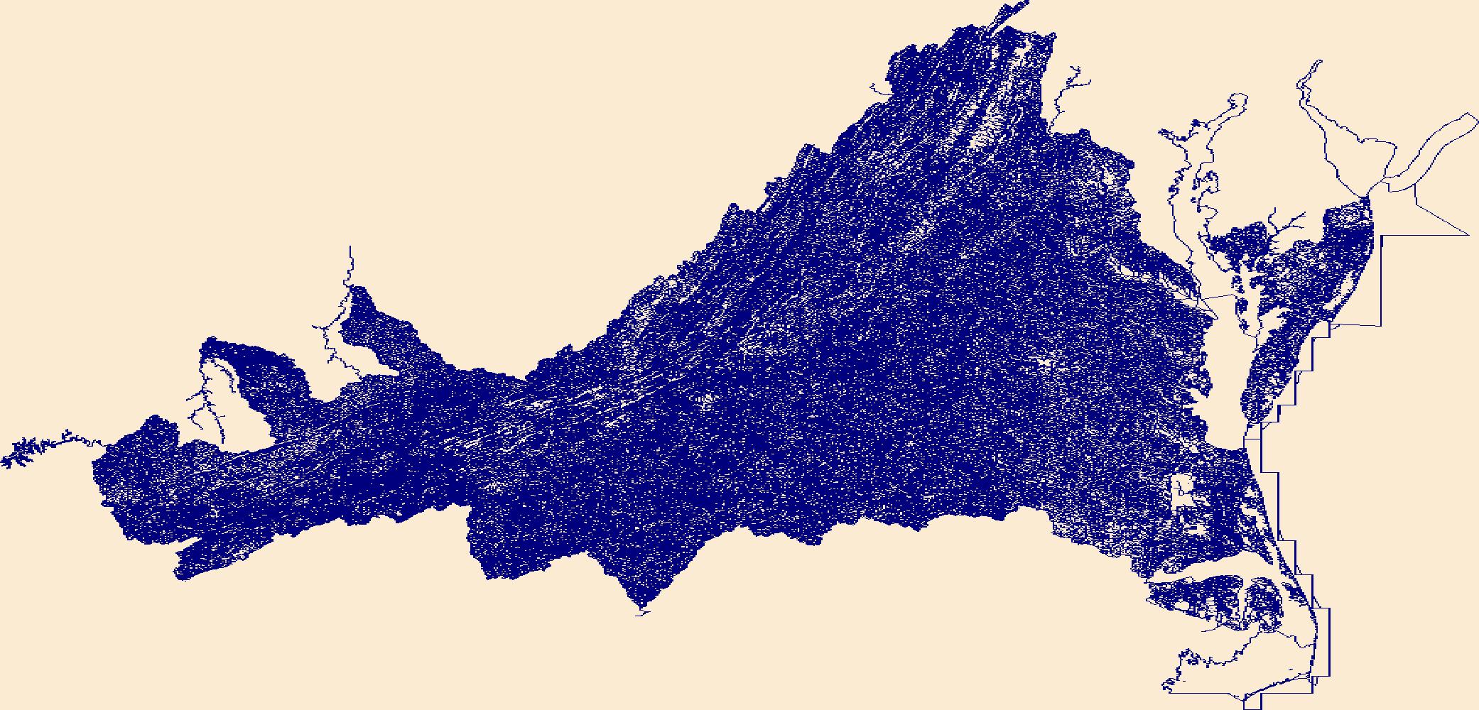
The National Hydrography Dataset (NHD) is a feature-based database that interconnects and uniquely identifies the stream segments or reaches that make up the nation's surface water drainage system. NHD data was originally developed at 1:100,000-scale and exists at that scale for the whole country. This high-resolution NHD, generally developed at 1:24,000/1:12,000 scale, adds detail to the original 1:100,000-scale NHD. (Data for Alaska, Puerto Rico and the Virgin Islands was developed at high-resolution, not 1:100,000 scale.) Local resolution NHD is being developed where partners and data exist. The NHD contains reach codes for networked features, flow direction, names, and centerline representations for areal water...
USGS Historical Quadrangle in GeoPDF.
|

|
