Filters: Tags: Parkfield, CA (X)
4 results (11ms)|
Filters
Date Range
Types Contacts
Tag Types Tag Schemes |
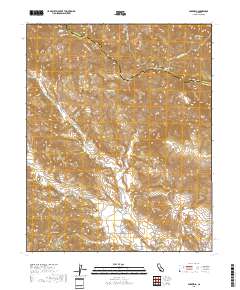
Layered geospatial PDF 7.5 Minute Quadrangle Map. Layers of geospatial data include orthoimagery, roads, grids, geographic names, elevation contours, hydrography, and other selected map features. This map is derived from GIS (geospatial information system) data. It represents a repackaging of GIS data in traditional map form, not creation of new information. The geospatial data in this map are from selected National Map data holdings and other government sources.
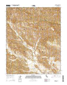
Layered GeoPDF 7.5 Minute Quadrangle Map. Layers of geospatial data include orthoimagery, roads, grids, geographic names, elevation contours, hydrography, and other selected map features.
These data provide measures of aseismic slip (creep) at approximately 40 sites located on the San Andreas, Hayward, and Calaveras faults in Central California from Point Pinole located in the San Francisco Bay area to south of Parkfield, California. The earliest measurement of creep followed the 1966 Parkfield earthquake. Currently, we maintain approximately 20 creepmeters and those data are uploaded to the web daily. The data provided at http://earthquake.usgs.gov/monitoring/deformation/data/download/table.php include measurements for sites that have been abandoned. The table provides the location of each creepmeter, and where present, notes that might be relevant to interpreting the data from each instrument.
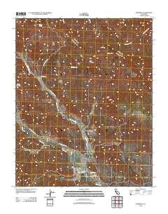
Layered GeoPDF 7.5 Minute Quadrangle Map. Layers of geospatial data include orthoimagery, roads, grids, geographic names, elevation contours, hydrography, and other selected map features.
|

|
