Filters: Tags: Petaluma (X)
17 results (45ms)|
Filters
Date Range
Types Contacts
Categories Tag Types Tag Schemes |
This digital dataset was created as part of a U.S. Geological Survey study, done in cooperation with the Sonoma County Water Agency and the City of Petaluma, to be used as the digital hydrogeologic input data for numerical simulation of the groundwater system of the Petaluma Valley Watershed, Sonoma County, California. Elevation, thickness, and extent of the hydrostratigraphic units define the geohydrologic layering of the digital framework model. The location of faults may be used to define the location of potential horizontal flow barriers in numerical simulation of the groundwater system. The intended uses of this dataset include, but are not limited to, natural resource modeling, mapping, and visualization applications....
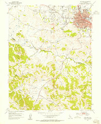
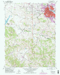
USGS Historical Quadrangle in GeoPDF.
This data set contains imagery from the National Agriculture Imagery Program (NAIP). The NAIP program is administered by USDA FSA and has been established to support two main FSA strategic goals centered on agricultural production. These are, increase stewardship of America's natural resources while enhancing the environment, and to ensure commodities are procured and distributed effectively and efficiently to increase food security. The NAIP program supports these goals by acquiring and providing ortho imagery that has been collected during the agricultural growing season in the U.S. The NAIP ortho imagery is tailored to meet FSA requirements and is a fundamental tool used to support FSA farm and conservation programs....
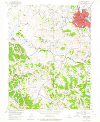
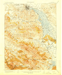
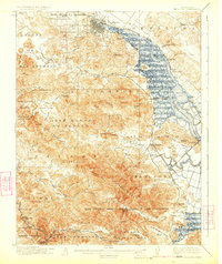
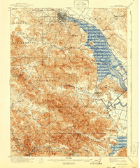
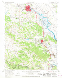
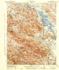
USGS Historical Quadrangle in GeoPDF.
This data release contains 3 land use shapefiles (years 1959, 1979, and 1986) and 1 model grid shapefile for the Petaluma River Watershed in California.
USGS Historical Quadrangle in GeoPDF.
USGS Historical Quadrangle in GeoPDF.
USGS Historical Quadrangle in GeoPDF.
USGS Historical Quadrangle in GeoPDF.
This data set contains imagery from the National Agriculture Imagery Program (NAIP). The NAIP program is administered by USDA FSA and has been established to support two main FSA strategic goals centered on agricultural production. These are, increase stewardship of America's natural resources while enhancing the environment, and to ensure commodities are procured and distributed effectively and efficiently to increase food security. The NAIP program supports these goals by acquiring and providing ortho imagery that has been collected during the agricultural growing season in the U.S. The NAIP ortho imagery is tailored to meet FSA requirements and is a fundamental tool used to support FSA farm and conservation programs....
This data release contains appendix C1 and appendix C2 for the USGS Scientific Investigations Report (SIR) titled Hydrologic and Geochemical Characterization of the Petaluma River Watershed, Sonoma County, California. Appendix C1 contains selected chemical and physical properties and inorganic constituents in samples from selected springs, and wells, Petaluma Valley watershed, Sonoma County, California, 1959-2015. Samples are presented from 66 groundwater wells, 3 springs, and 2 surface-water sites. Data samples were collected by the U.S. Geological Survey (USGS), California Department of Water Resources (CDWR), California Department of Health Services (CDPH), and the City of Petaluma as part of the study.
Categories: Data;
Tags: Hydrology,
Petaluma,
Petaluma River,
USGS Science Data Catalog (SDC),
Water Quality,
USGS Historical Quadrangle in GeoPDF.
USGS Historical Quadrangle in GeoPDF.
|

|
