Filters: Tags: Petroleum (X)
600 results (47ms)|
Filters
Date Range
Extensions Types Contacts
Categories
Tag Types Tag Schemes |
This data set contains imagery from the National Agriculture Imagery Program (NAIP). The NAIP program is administered by USDA FSA and has been established to support two main FSA strategic goals centered on agricultural production. These are, increase stewardship of America's natural resources while enhancing the environment, and to ensure commodities are procured and distributed effectively and efficiently to increase food security. The NAIP program supports these goals by acquiring and providing ortho imagery that has been collected during the agricultural growing season in the U.S. The NAIP ortho imagery is tailored to meet FSA requirements and is a fundamental tool used to support FSA farm and conservation programs....
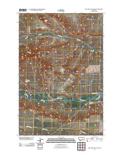
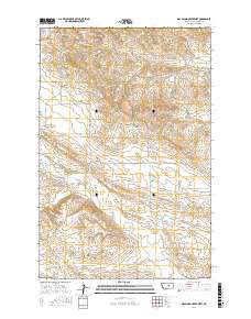
Layered GeoPDF 7.5 Minute Quadrangle Map. Layers of geospatial data include orthoimagery, roads, grids, geographic names, elevation contours, hydrography, and other selected map features.
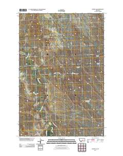
Layered GeoPDF 7.5 Minute Quadrangle Map. Layers of geospatial data include orthoimagery, roads, grids, geographic names, elevation contours, hydrography, and other selected map features.
Overview This directory was developed to provide discovery information for anyone looking for publicly accessible repositories that house geological materials in the U.S. and Canada. In addition, this resource is intended to be a tool to facilitate a community of practice. The need for the directory was identified during planning for and follow-up from a drill core repository webinar series in Spring 2020 for public repository curators and staff in the U.S. and Canada hosted by the Minnesota Geological Survey and the Minnesota Department of Natural Resources. Additional supporting sponsors included the U.S. Geological Survey National Geological and Geophysical Data Preservation Program and the Association of American...
Categories: Data;
Types: Downloadable,
Map Service,
OGC WFS Layer,
OGC WMS Layer,
Shapefile;
Tags: Alabama,
Alaska,
Alberta,
Arkansas,
British Columbia,
Airborne electromagnetic (AEM) and magnetic survey data were collected during October 2014 in a 553-square-kilometer area that includes the East Poplar oil field on the Fort Peck Indian Reservation in northeastern Montana, USA. Data surround the city of Poplar and extend south into the Missouri River floodplain. Data were acquired with the SkyTEM301 transient electromagnetic helicopter-borne system together with a Geometrics G-822 magnetometer. The AEM average depth of investigation is about 80 m. The survey was flown at a nominal flight height of 30 m above terrain along north-south oriented flight lines; the majority of lines had a nominal spacing of 200 m with a sub-block area in the central portion of the oil...
Categories: Data;
Types: Downloadable,
Map Service,
OGC WFS Layer,
OGC WMS Layer,
Shapefile;
Tags: CGGSC,
City of Poplar,
Crustal Geophysics and Geochemistry Science Center,
East Poplar Oil Field,
Energy Resources Program,
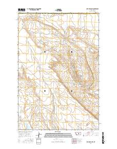
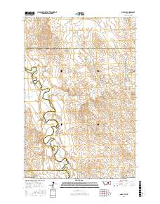
Layered geospatial PDF Map. Layers of geospatial data include orthoimagery, roads, grids, geographic names, elevation contours, hydrography, and other selected map features.
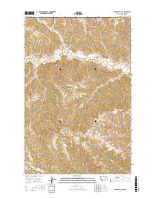
Layered geospatial PDF Map. Layers of geospatial data include orthoimagery, roads, grids, geographic names, elevation contours, hydrography, and other selected map features.
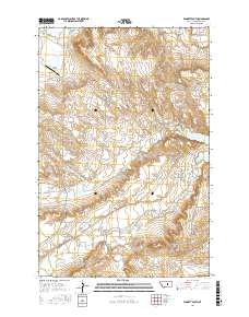
Layered geospatial PDF Map. Layers of geospatial data include orthoimagery, roads, grids, geographic names, elevation contours, hydrography, and other selected map features.
Layered geospatial PDF Map. Layers of geospatial data include orthoimagery, roads, grids, geographic names, elevation contours, hydrography, and other selected map features.
Layered geospatial PDF Map. Layers of geospatial data include orthoimagery, roads, grids, geographic names, elevation contours, hydrography, and other selected map features.
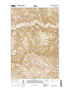
Layered geospatial PDF Map. Layers of geospatial data include orthoimagery, roads, grids, geographic names, elevation contours, hydrography, and other selected map features.
During 2014-2016, the depth to top of perforated intervals and depth to base of freshwater for oil and gas production wells in California were extracted from well records maintained by the California Division of Oil, Gas, and Geothermal Resources (DOGGR). Well records including geophysical logs, well history, well completion reports, and correspondences were viewed on DOGGR's Well Finder website at https://maps.conservation.ca.gov/doggr/wellfinder/. This digital dataset contains 3,505 records for production wells, of which 2,964 wells have a recorded depth to top of perforated intervals and 1,494 wells have a recorded depth to base of freshwater. Wells were attributed with American Petroleum Institute (API) numbers,...
Categories: Data;
Tags: California,
Western United States,
environmental resources,
freshwater,
groundwater,
This data release contains the boundaries of assessment units and input data for the assessment of undiscovered continuous oil and gas resources in the Bakken formation of Northwest Montana. The Assessment Unit is the fundamental unit used in the National Assessment Project for the assessment of undiscovered oil and gas resources. The Assessment Unit is defined within the context of the higher-level Total Petroleum System. The Assessment Unit is shown herein as a geographic boundary interpreted, defined, and mapped by the geologist responsible for the province and incorporates a set of known or postulated oil and (or) gas accumulations sharing similar geologic, geographic, and temporal properties within the Total...
Categories: Data;
Types: Downloadable,
Map Service,
OGC WFS Layer,
OGC WMS Layer,
Shapefile;
Tags: Assessment Unit,
Continuous Assessment Unit,
Energy Resources,
Energy Resources,
Geology,
This data release contains the boundaries of assessment units, assessment input data and resulting fact sheet data tables for the assessment of undiscovered oil and gas resources in the Barents Sea Area. The Assessment Unit is the fundamental unit used in the National and Global Oil and Gas Assessment Project for the assessment of undiscovered oil and gas resources. The Assessment Unit is defined within the context of the higher-level Total Petroleum System. The Assessment Unit is shown herein as a geographic boundary interpreted, defined, and mapped by the geologist responsible for the province and incorporates a set of known or postulated oil and (or) gas accumulations sharing similar geologic, geographic, and...
Proppants used during hydraulic fracturing of oil and gas wells are manufactured to maximize petroleum yield by controlling the size, shape, density, and strength of the proppant material. The most common types of proppants are mined silica sand and manufactured ceramics, some of which are further modified with organic resin coatings to improve performance. Much of the work on the environmental and human health effects of proppant releases into the environment has focused on occupational silicosis, with little attention given to the potential effects from the organic coatings on these materials. This oversight is especially relevant in the context of dumping of unwanted proppant on the land surface, which has been...
Categories: Data;
Types: Map Service,
OGC WFS Layer,
OGC WMS Layer,
OGC WMS Service;
Tags: Energy Resources,
Environmental Health,
Geochemistry,
New Mexico,
USGS Science Data Catalog (SDC),
This shapefile contains polylines that describe isopachs of the Hauterivian Qezeltash formation in northern Afghanistan. Hauterivian sandstones are a reservoir rock of the Jurassic subsalt petroleum systems of the Afghan-Tajik and Amu Darya basins.
The USGS Central Region Energy Team assesses oil and gas resources of the United States. The onshore and State water areas of the United States comprise 71 provinces. Within these provinces, Total Petroleum Systems are defined and Assessment Units are defined and assessed. Each of these provinces is defined geologically, and most province boundaries are defined by major geologic changes. The Uinta-Piceance Province is located in eastern Utah and western Colorado, encompassing all or parts of Delta, Garfield, Gunnison, Mesa, Moffat, Montrose, Ouray, Rio Blanco, and Routt Counties in Colorado and all or parts of Carbon, Duchesne, Emery, Grand, Sanpete, Sevier, Uintah, Utah, and Wasatch Counties in Utah. The main population...
Categories: Data,
pre-SM502.8;
Types: Downloadable,
Map Service,
OGC WFS Layer,
OGC WMS Layer,
Shapefile;
Tags: 502001 = Ferron Coal/Wasatch Plateau,
50200101 = Conventional Ferron Sandstone Gas,
50200161 = Deep (6,000 feet plus) Coal and Sandstone Gas,
50200181 = Northern Coal Fairway/Drunkards Wash,
50200182 = Central Coal Fairway/Buzzards Bench,
Locations and shapes of salt diapirs were modified after the New Orleans Geological Society map, Salt tectonism of the U.S. Gulf Coast Basin (compiled by J.A. Lopez, 1995); Plate 2, Principal structural features, Gulf of Mexico Basin (compiled by T.E. Ewing and R.F. Lopez) in Volume J, The Geology of North America (1991); and U.S. Geological Survey Miscellaneous Field Studies Map MF-1213, Distribution of salt structures, Gulf of Mexico, by R.G. Martin (1980). This dataset contains basic data and interpretations developed and compiled by the U.S. Geological Survey's Framework Studies and Assessment of the Gulf Coast Project. Other major sources of data include publicly available information from state agencies as...
Categories: Data,
pre-SM502.8;
Types: Downloadable,
Map Service,
OGC WFS Layer,
OGC WMS Layer,
Shapefile;
Tags: AL,
AR,
Anticlines,
Coal,
Coalbed Methane,
The USGS Central Region Energy Team assesses oil and gas resources of the United States. The onshore and State water areas of the United States comprise 71 provinces. Within these provinces, Total Petroleum Systems are defined and Assessment Units are defined and assessed. Each of these provinces is defined geologically, and most province boundaries are defined by major geologic changes. The Appalachian Basin Province is located in the eastern United States, encompassing all or parts of the counties in Alabama, Georgia, Kentucky, Maryland, New Jersey, New York, North Carolina, Ohio, Pennsylvania, Tennessee, Virginia, and West Virginia. The main population centers within the study area are Birmingham, Alabama; Buffalo,...
The volcanic provinces are modified after Plate 2, Principal structural features, Gulf of Mexico Basin (compiled by T.E. Ewing and R.F. Lopez) in Volume J, The Geology of North America (1991). This dataset contains basic data and interpretations developed and compiled by the U.S. Geological Survey's Framework Studies and Assessment of the Gulf Coast Project. Other major sources of data include publicly available information from state agencies as well as publications of the U.S. Geological Survey and other scientific organizations. In cases where company proprietary data were used to produce various derivatives such as contour surfaces, the source is cited but the data are not displayed.
Categories: Data,
pre-SM502.8;
Types: Downloadable,
Map Service,
OGC WFS Layer,
OGC WMS Layer,
Shapefile;
Tags: AL,
AR,
Anticlines,
Coal,
Coalbed Methane,
|

|
