Filters: Tags: Poncha Pass (X)
13 results (70ms)|
Filters
Contacts
(Less)
|
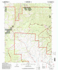
USGS Historical Quadrangle in GeoPDF.
This release presents the GIS data (in GDB, shapefile, and e00 [coverage] formats) and metadata for a 1:24,000-scale geologic map of the Poncha Pass area in central Colorado. A cartographic version of the geologic map, including map unit descriptions, interpretative text, and accessory figures and tables, is being separately published as a U.S. Geological Survey Scientific Investigations Map (SIM). The map area is irregular in shape, covering all of one 7.5' quadrangle (Poncha Pass) and parts of five others (Mount Ouray, Maysville, Salida West, Salida East, and Wellsville). The map boundaries were drawn to cover all of the "Poncha mountain block", coincident with the approximately 15-kilometer-long northwestern...
This Data Release provides tabular and geospatial data digitized by the U.S. Geological Survey (USGS) from a U.S. Bureau of Mines (USBoM) report titled Mineral Investigation of Sangre de Cristo Wilderness Study Area, Alamosa, Custer, Fremont, Huerfano, and Saguache Counties, Colorado. The original preliminary paper report, numbered Mineral Land Assessment 65-83 (MLA 65-83; Ellis and others, 1983), presented the results of a mineral resource potential survey of areas in and around the Sangre de Cristo Range flanking the northeastern extent of San Luis Valley in south-central Colorado. Included in this Data Release are georeferenced scans of the regional plate maps, digitized sample site locations, analytical...
Categories: Data;
Types: ArcGIS REST Map Service,
ArcGIS Service Definition,
Downloadable,
Map Service;
Tags: Alamosa County,
Alamosa County,
Baca National Wildlife Refuge,
Blanca Peak,
Cañon City,
This data release includes data collected from the Villa Grove helicopter magnetic survey in northern San Luis Valley and Poncha Pass region in south-central Colorado, USA. The survey area extends over the northern part of Great Sand Dunes National Park, Poncha Pass and vicinity, and into the southern end of the Upper Arkansas Valley. It includes the communities of Crestone, Villa Grove, Saguache, and Salida. Several U.S. Geological Survey programs (including the National Cooperative Geologic Mapping Program, Mineral Resources Program, and Geothermal Program), as well as the Colorado Geological Survey, funded the survey. The data are part of studies to help refine our knowledge in this area about the nature of aquifers,...
Categories: Data;
Types: Downloadable,
GeoTIFF,
Map Service,
OGC WFS Layer,
OGC WMS Layer,
Raster,
Shapefile;
Tags: Chaffee County,
City of Salida,
Colorado,
Crestone,
Fremont County,
Geologic mapping, characterization of geologic structures, and sampling for geochronology was completed in two areas of the northwestern Sangre de Cristo Mountains from 2011 through 2017. This data release provides the raw analytical data, metadata and sample information for 20 zircon U-Pb age analyses from laser ablation-inductively coupled plasma mass spectrometry (LA-ICPMS). The two areas include the Poncha Pass area where the entire 71/2’ Poncha Pass quadrangle and parts of five other quadrangles (Mount Ouray, Maysville, Salida West, Salida East, and Wellsville) were mapped at a scale of 1:24,000 (see Minor and others, 2019). The Deadman thrust fault is the second area, approximately 80 km southwest of the Poncha...
This data set contains imagery from the National Agriculture Imagery Program (NAIP). The NAIP program is administered by USDA FSA and has been established to support two main FSA strategic goals centered on agricultural production. These are, increase stewardship of America's natural resources while enhancing the environment, and to ensure commodities are procured and distributed effectively and efficiently to increase food security. The NAIP program supports these goals by acquiring and providing ortho imagery that has been collected during the agricultural growing season in the U.S. The NAIP ortho imagery is tailored to meet FSA requirements and is a fundamental tool used to support FSA farm and conservation programs....
U-Pb isotopic data from zircon measured using the SHRIMP-RG ion microprobe at Stanford University, CA. These data are used to calculate absolute ages of the samples from which the zircons were extracted. These samples are shown on the Poncha Pass map being submitted for publication (Minor, et al., in prep)
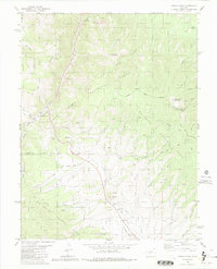
USGS Historical Quadrangle in GeoPDF.
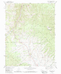
USGS Historical Quadrangle in GeoPDF.
This data set contains imagery from the National Agriculture Imagery Program (NAIP). The NAIP program is administered by USDA FSA and has been established to support two main FSA strategic goals centered on agricultural production. These are, increase stewardship of America's natural resources while enhancing the environment, and to ensure commodities are procured and distributed effectively and efficiently to increase food security. The NAIP program supports these goals by acquiring and providing ortho imagery that has been collected during the agricultural growing season in the U.S. The NAIP ortho imagery is tailored to meet FSA requirements and is a fundamental tool used to support FSA farm and conservation programs....
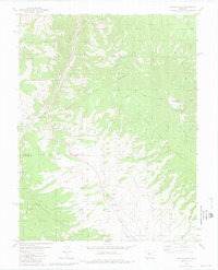
The San Luis Valley and associated underlying basin of south-central Colorado and north-central New Mexico is the largest structural and hydrologic basin of the Rio Grande Rift and fluvial system. The surrounding San Juan and Sangre de Cristo Mountains reveal evidence of widespread volcanism and transtensional tectonism beginning in the Oligocene and continuing to the present, as seen in fault displacement of Pleistocene to Holocene deposits along the eastern basin-bounding Sangre de Cristo fault system and fault zones along the western margin of the basin. The San Luis basin can generally be subdivided into northern and southern basins at the structural and physiographic high terrain of the San Luis Hills in the...
|

|
