Filters: Tags: Portage, IN (X)
8 results (70ms)|
Filters
Date Range
Types Contacts
Categories Tag Types Tag Schemes |
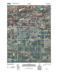
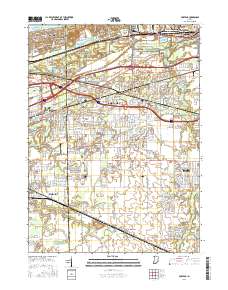
Layered GeoPDF 7.5 Minute Quadrangle Map. Layers of geospatial data include orthoimagery, roads, grids, geographic names, elevation contours, hydrography, and other selected map features.
Layered GeoPDF 7.5 Minute Quadrangle Map. Layers of geospatial data include orthoimagery, roads, grids, geographic names, elevation contours, hydrography, and other selected map features.
The US Army Corps of Engineers (USACE) is evaluating the placement of dredged material in the nearshore areas of Lake Michigan as a means to replenish sand at selected beaches. In order to elucidate the physical processes in the nearshore environment that transport and distribute sand to the beach, the USACE-Chicago District and the US Geological Survey (USGS) developed a plan for a beach replenishment study on Lake Michigan near Burns Harbor/Ogden Dunes, Indiana. In support of this effort, a backpack-mounted Trimble Ag132 RTK-dGPS was used for two surveys of beach topography (August 9, 2016, and October 11, 2016) in the study area.
Categories: Data;
Types: Citation;
Tags: Burns Harbor,
GPS measurement,
Indiana,
Lake Michigan,
Ogden Dunes,
The US Army Corps of Engineers (USACE) is evaluating the placement of dredged material in the nearshore areas of Lake Michigan as a means to replenish sand at selected beaches. In order to elucidate the physical processes in the nearshore environment that transport and distribute sand to the beach, the USACE-Chicago District and the US Geological Survey (USGS) developed a plan for a beach nourishment study on Lake Michigan near Burns Harbor/Ogden Dunes, Indiana. In support of this effort, the USGS deployed an upward-profiling acoustic Doppler current profiler (ADCP) to the Burns Harbor/Ogden Dunes study area to collect wave and current data. The ADCP was located at the following World Geodetic System 1984 (WGS84)...
Categories: Data;
Types: Citation;
Tags: Burns Harbor,
Indiana,
Lake Michigan,
Ogden Dunes,
Portage, IN,
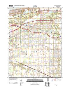
Layered geospatial PDF 7.5 Minute Quadrangle Map. Layers of geospatial data include orthoimagery, roads, grids, geographic names, elevation contours, hydrography, and other selected map features. This map is derived from GIS (geospatial information system) data. It represents a repackaging of GIS data in traditional map form, not creation of new information. The geospatial data in this map are from selected National Map data holdings and other government sources.
The US Army Corps of Engineers (USACE) is evaluating the placement of dredged material in the nearshore areas of Lake Michigan as a means to replenish sand at selected beaches. In order to elucidate the physical processes in the nearshore environment that transport and distribute sand to the beach, the USACE-Chicago District and the US Geological Survey (USGS) developed a plan for a beach nourishment study on Lake Michigan near Burns Harbor/Ogden Dunes, Indiana. As part of this plan, the USGS conducted hydrodynamic and bathymetric surveys of the study area before and after placement of dredged material in the nearshore zone. The planned placement of dredge material in the study area occurred between June 15, 2016...
The US Army Corps of Engineers (USACE) is evaluating the placement of dredged material in the nearshore areas of Lake Michigan as a means to replenish sand at selected beaches. In order to elucidate the physical processes in the nearshore environment that transport and distribute sand to the beach, the USACE-Chicago District and the US Geological Survey (USGS) developed a plan for a beach nourishment study on Lake Michigan near Burns Harbor/Ogden Dunes, Indiana. In support of this effort, five bathymetric surveys with a boat-mounted Teledyne RDI 1200 kHz acoustic Doppler current profiler (ADCP) were completed in the study area. ADCP data were collected using WinRiverII and exported for post-processing in The Velocity...
Categories: Data;
Types: Citation;
Tags: Burns Harbor,
Indiana,
Lake Michigan,
Ogden Dunes,
Portage, IN,
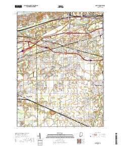
Layered geospatial PDF Map. Layers of geospatial data include orthoimagery, roads, grids, geographic names, elevation contours, hydrography, and other selected map features.
|

|
